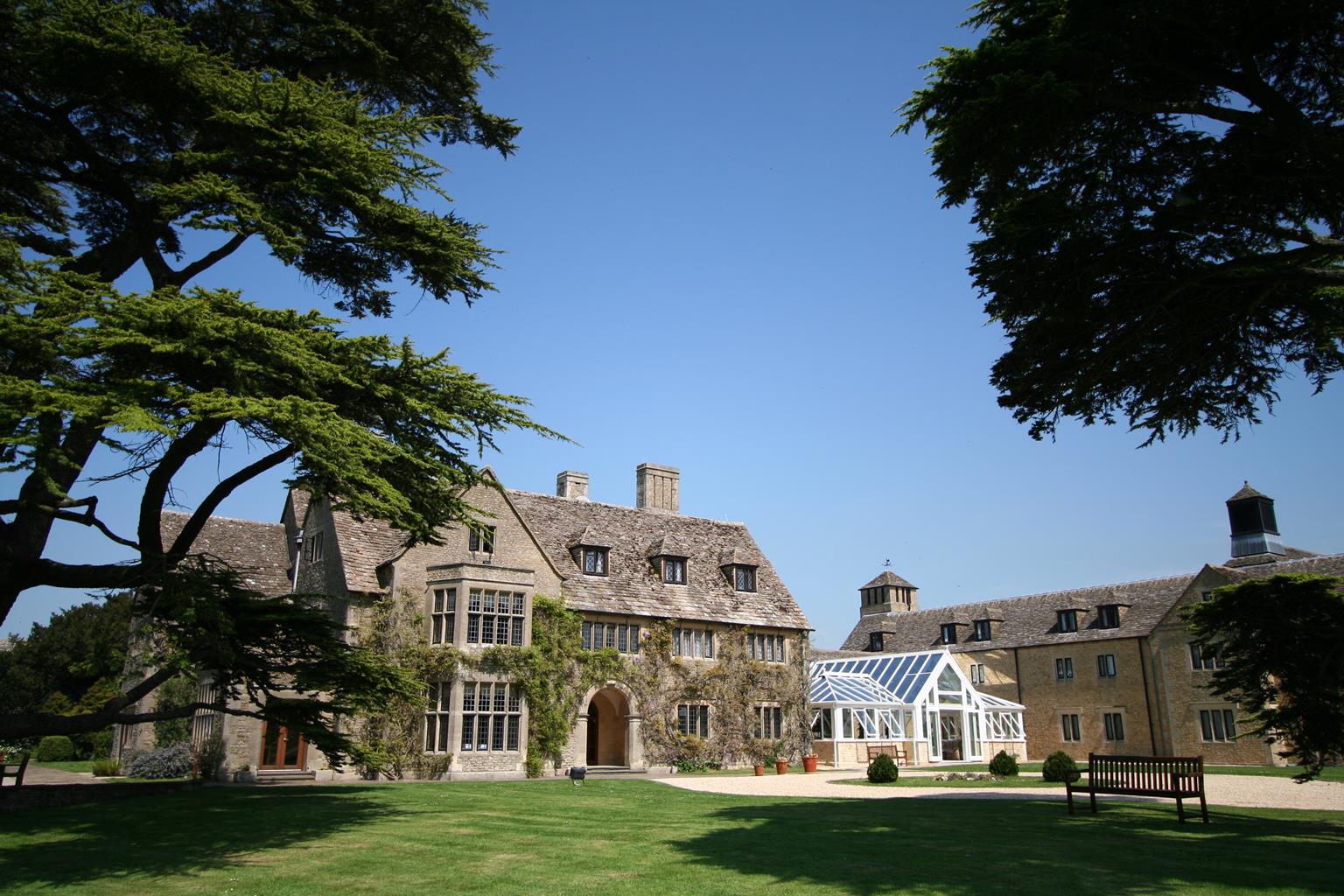

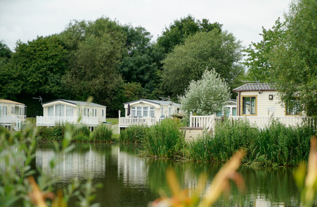
Hoburne Cotswold
Surrounded by pretty, stone-built villages, Hoburne Cotswold lies alongside one of the UK’s…

An easy ramble across water-meadows beside the Thames and disused canals
Cricklade
5.5 miles (8.8kms)
The River Thames begins life in a peaceful Gloucestershire field near Cirencester. Before long it graduates to a sizeable stream – also known as the Isis at this point – on its way to the Cotswold Water Park, a vast network of lakes and pools, before reaching Cricklade. The town is the northernmost in Wiltshire, and the only one situated on the river. Although it is now merely a meandering willow-fringed stream as it passes through the town, research in the 19th century revealed that the river at Cricklade had been navigable by large barges during the 17th and 18th centuries. In 1605, the Burcot Commission was established for the purpose of improving the Thames as a navigable waterway from Clifton Hampden to Cricklade. However, completion of the Thames and Severn Canal in 1789, meant river traffic was transferred to the canal and the upper reaches of the Thames gradually became overgrown.
Cricklade’s advantageous position at the junction of four ancient roads may well be why it was established as the head of the navigable Thames. However, Cricklade’s importance as a settlement began in Roman times when it was a significant military post on Ermine Street, the Roman road linking Cirencester and Silchester. Evidence of Roman occupation has been found in and around the town, with villas to the north and southeast. The later fortified Saxon town was built as a defence against the Danes and had its own mint. Today, the High Street has worthy buildings from the 17th and 18th centuries and two contrasting parish churches. You should not miss St Sampson’s, characterised by its cathedral-like turreted tower that rises high above the town and dominates the surrounding water meadows.
This walk follows the River Thames north, away from Cricklade, via the Thames Path. Beyond North Meadow, your route passes beside a shallow ditch that was once the North Wilts Canal, which opened in 1819 and ran the 9 miles (14.5km) between Swindon and Latton, linking the Wilts and Berks Canal with the Thames and Severn Canal. You will follow the old towpath beside the muddy, weed-clogged ditch that was once the Thames and Severn Canal, opened in 1789 to link the River Severn with the Thames at Lechlade. The canal closed to all traffic in 1927, and was finally abandoned in 1933. Later, the walk heads south along a disused railway line, part of the Midland and South West Railway, which was closed to passengers in 1961.
Turn right out of the car park by the Town Hall, then keep ahead at the roundabout and walk along the High Street. Pass St Mary’s Church, then turn left along North Wall before the river bridge. Shortly, bear right to a gate and join the Thames Path. Continue your route on the left along the field edge to houses and go through the kissing gate ahead. Walk along the surfaced path with houses on your left.
Go through the kissing gate on your right and bear left across the field to a gate. Follow the fenced footpath, cross a plank bridge and pass through the gate immediately on your right-hand side. Cross the river bridge and turn left through a gate. Turn immediately right and walk up the edge of the field to the kissing gate. Cross a footbridge to enter the North Meadow. Turn left and walk parallel to the bushes on your left for about 0.5 miles (800m) until the infant Thames comes into view on your left.
Continue ahead along the field edge to cross a gate by a bridge. Go through another gate immediately right and keep straight ahead, ignoring the Thames Path, left. Follow the path beside the disused canal. Cross a footbridge, then at the far end follow the path to the right across a footbridge to the right of Basin Cottage. Bear right along the drive.
Turn left through the gateway. Shortly, bear right to join the path along the left side of the old canal, keeping to the path for 0.5 miles (800m) to the road. Turn left into Cerney Wick to reach a T-junction.
Cross the stone stile opposite and keep ahead through the paddock to a stone stile and lane. Cross the lane and go through the kissing gate opposite, continuing ahead to another kissing gate and stile. Follow the path ahead. Bear right, then left and bear off down some steps on the left into trees.
Cross a footbridge with a squeeze stile and proceed ahead along the field edge past a quarry to a gate. Turn left along the old railway. Cross the River Thames in a mile (1.6km), and keep to the path along the former trackbed to reach a bridge.
Go through the kissing gate and follow the gravel path to the Leisure Centre. Bear left onto the road, following it right, then turn left opposite the entrance to the Leisure Centre car park. Turn right, then next left and follow the road to the church.
Walk beside the barrier and turn right in front of the Gatehouse into the churchyard. Bear left to the main gates and follow the lane to a T-junction. Turn right to make your way back to the car park.
Field paths and bridle paths, disused railway, town streets, several stiles
Flat river valley
Dogs can be off lead along old railway line
OS Explorer 169 Cirencester & Swindon
Town Hall car park on High Street near Waylands or off High Street opposite Old Bear pub
In car park opposite the Old Bear pub
North Meadow part of walk can be prone to serious flooding after heavy rain.
Read our tips to look after yourself and the environment when following this walk.
A land shrouded in mystery, myth and legend, Wiltshire evokes images of ancient stone circles, white chalk horses carved into hillsides, crop circles and the forbidden, empty landscape of Salisbury Plain. To many M4 and A303 drivers heading out of London through the clutter of the Thames Valley, Wiltshire is where the landscape opens out and rural England begins.
Wiltshire’s charm lies in the beauty of its countryside. The expansive chalk landscapes of the Marlborough and Pewsey downs and Cranborne Chase inspire a sense of space and freedom, offering miles of uninterrupted views deep into Dorset, Somerset and the Cotswolds. Wiltshire’s thriving market towns and picturesque villages provide worthwhile visits and welcome diversions. Stroll through quaint timbered and thatched villages in the southern Woodford and Avon valleys and explore the historic streets of the stone villages of Lacock, Castle Combe and Sherston. Walk around Salisbury and discover architectural styles from the 13th century to the present and take time to visit the city’s elegant cathedral and fascinating museums. And if all of that isn’t enough, the county is also richly endowed with manor houses, mansions and beautiful gardens.
Discover more than 15,000 professionally rated places to stay, eat and visit from across the UK and Ireland.
Choose a place to stay safe in the knowledge that it has been expertly assessed by trained assessors.
Search by location or the type of place you're visiting to find your next ideal holiday experience.
Read our articles, city guides and recommended things to do for inspiration. We're here to help you explore the UK.