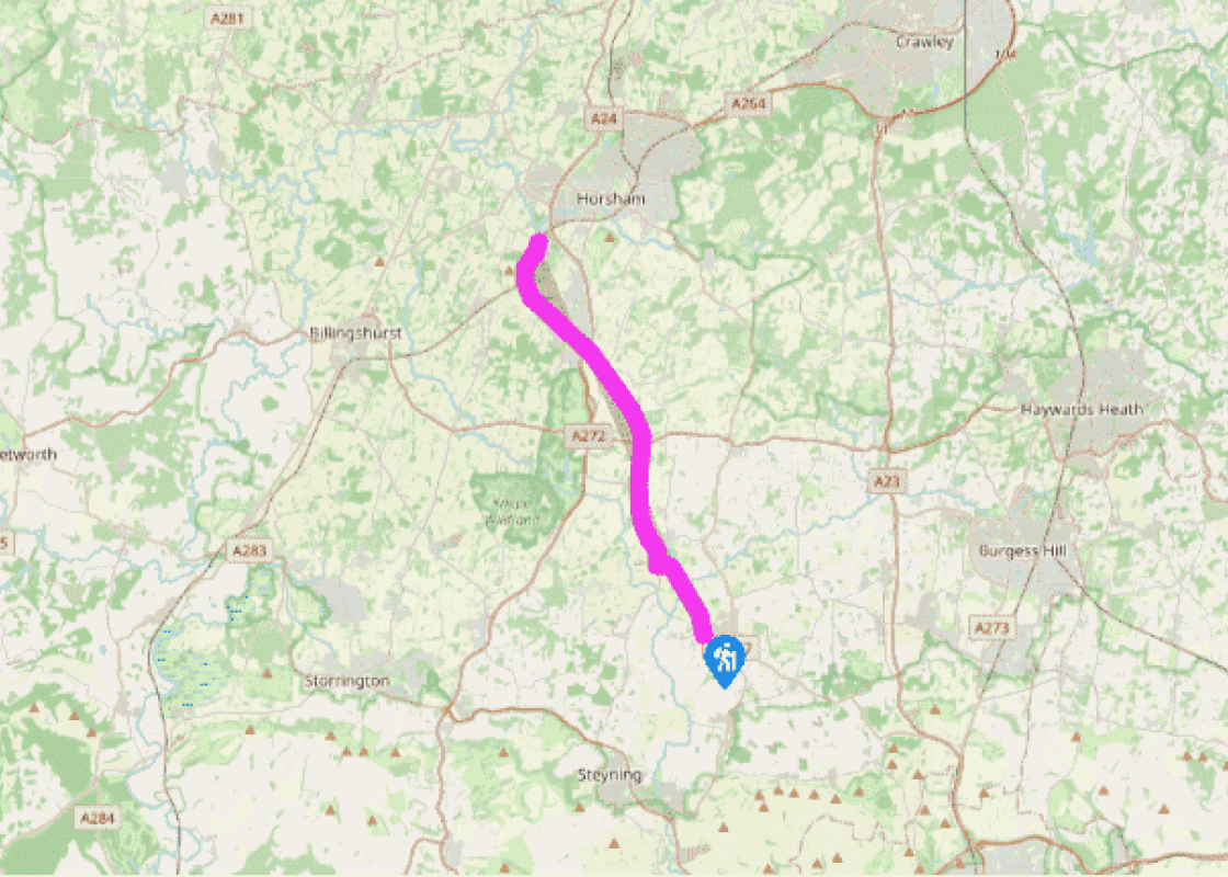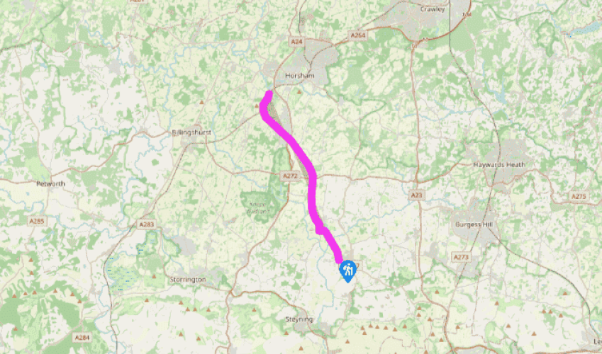
Downs Link: Henfield to Christ's Hospital
From the car park, head north along the line of the railway. After a mile, beyond the northern river crossing at Betley Bridge, a bridle gate leads into a field, where the line of the railway is less clearly defined. After a second bridle gate, the track is again enclosed between two hedges.
After another 0.5 miles (800m), turn left on a crossing track. At the B2135, turn right and walk towards Partridge Green (where buses connect with Brighton and Horsham). Just short of the bridge over the railway, fork left on a narrow path down to rejoin the railway track bed.

Been on this walk?
Send us photos or a comment about this route. Or recommend a route of your own.

Walking in Safety
Read our tips to look after yourself and the environment when following this walk.

Get an AA guide
Explore our range of ‘50 Walks in’ guides - they’re the ideal companion for a ramble.
Been on this walk?
Send us photos or a comment about this route. Or recommend a route of your own.
Walking in Safety
Read our tips to look after yourself and the environment when following this walk.
Get an AA guide
Explore our range of ‘50 Walks in’ guides - they’re the ideal companion for a ramble.
Nearby places to stay
View all (8)


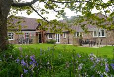
- Total units: 2
- Lawn area
- Garden furniture
- Dish washer