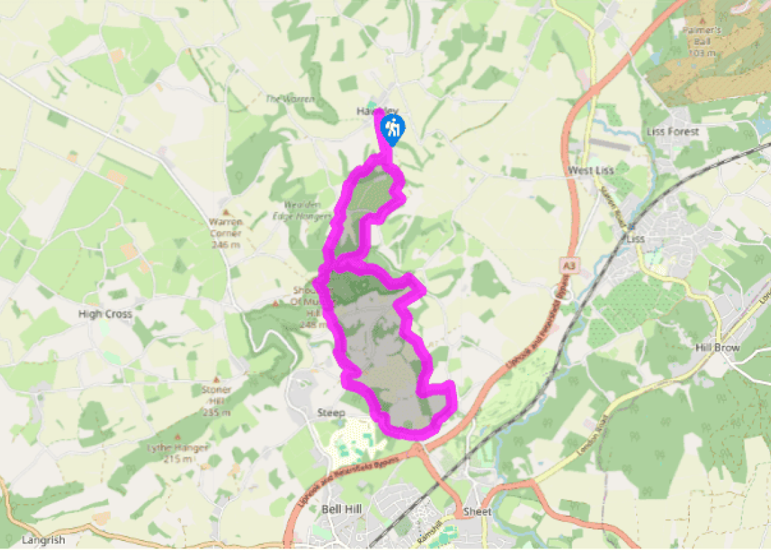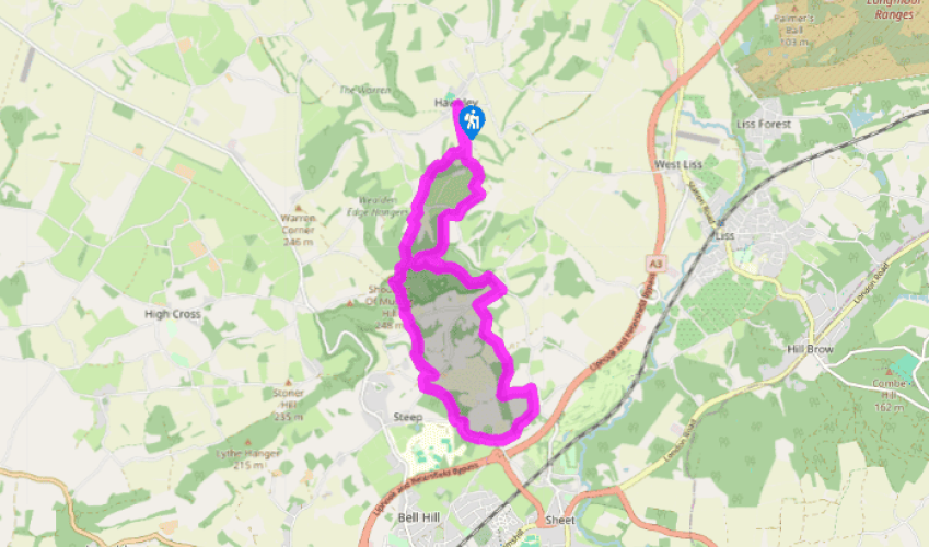
Hawkley to Steep
Recommended by

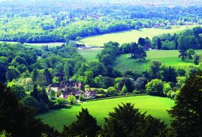
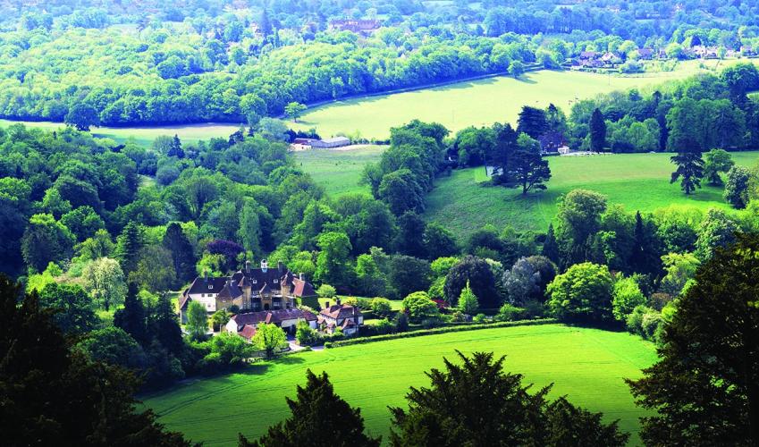
"Explore the beech-clad hills and vales that so inspired Hampshire's great poet."
Walk directions
With your back to Hawkley church, walk left beside the green to the road junction. With The Hawkley Inn away to your left, cross over to join Cheesecombe Farm Lane. Shortly, bear right along a concrete path, signed ‘Hangers Way’, and soon after bear left onto a path. Descend to cross a stile and keep straight on at the fork of paths, hugging the left edge of the field with Cheesecombe Farm to the left.
Cross a stile and bridge over Oakshott stream and then another stile and keep left along the field edge beside woodland. Steeply ascend to cross a stile, and follow the fenced path uphill and left. Drop down to a track and turn right, to reach a junction, then right again for 55yds (50m) to take the waymarked track straight ahead.
View all directions
Additional information
Terrain
- Field and woodland paths, rutted, wet and muddy tracks and short stretches of road, 11 stiles
Landscape
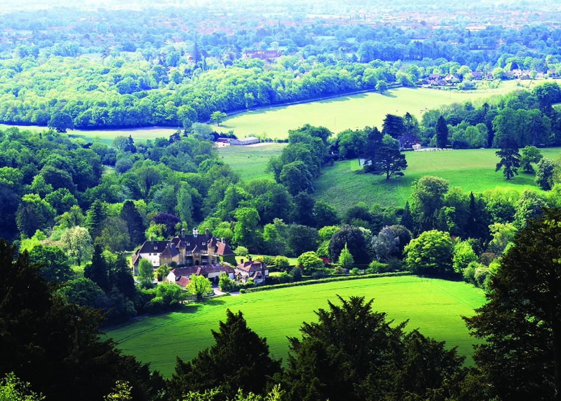
- Rolling, beech-clad hills, a hidden, flower-filled valley and undulating farmland
Dog friendliness
- Dogs to be kept under control at all times
Parking
- By village green and church in Hawkley
Toilets en route
- Opposite the Harrow Inn in Steep
About the walk
William Cobbett wrote ‘beautiful beyond description’ in his Rural Rides, after passing through Hawkley in 1822, on his way from East Meon to Thursley. Cobbett was enchanted by the rolling, beech-clad hills that characterise this relatively unexplored part of Hampshire. Abiding love Known locally...
Read more

Been on this walk?
Send us photos or a comment about this route. Or recommend a route of your own.

Walking in Safety
Read our tips to look after yourself and the environment when following this walk.

Get an AA guide
Explore our range of ‘50 Walks in’ guides - they’re the ideal companion for a ramble.
Been on this walk?
Send us photos or a comment about this route. Or recommend a route of your own.
Walking in Safety
Read our tips to look after yourself and the environment when following this walk.
Get an AA guide
Explore our range of ‘50 Walks in’ guides - they’re the ideal companion for a ramble.
About the area
Hampshire’s varied landscape of hills and heaths, downlands and forests, valleys and coast are without rival in southern England. Hike across the chalk downland of the north Hampshire ‘highlands’, meander along peaceful paths through unspoilt river valleys of the Test, Itchen, Avon and Meon, or explore the lonely salt marshes and the beautiful medieval forest and heathland of the New Forest.
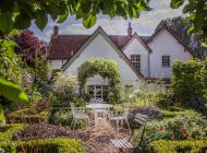
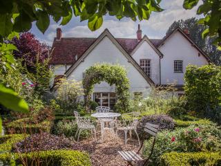
Nearby places to stay
View all (8)


Nearby places to stay

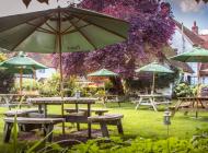
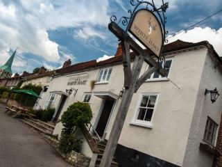
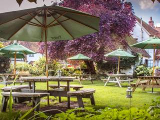
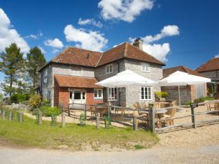
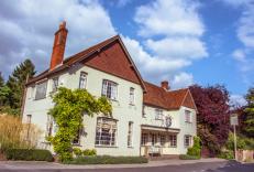
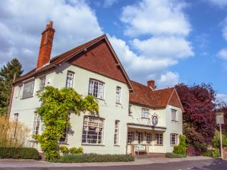
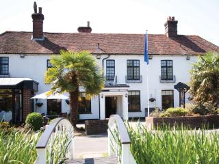
The White Hart, South Harting
The White Hart in South Harting is a 16th-century inn with an abundance of character. Within the South Downs National Park & well located for anyone walking the South Downs Way. Located...
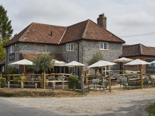
The Thomas Lord
The Thomas Lord is named after the founder of Lord's Cricket Ground who is buried in the nearby churchyard. It’s a charming country pub with delightful gardens in the lovely village of ...
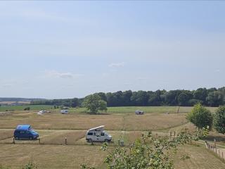
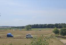
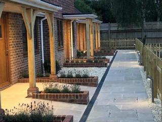
Two Hoots Glamping, Caravan Park & Campsite
Two Hoots Glamping, Caravan Park & Campsite is a small, very peaceful adults-only campsite offering spacious, grassy pitches for caravans and tents in a rural hilltop location close to ...
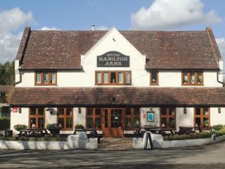
Hamilton Arms
The Hamilton Arms Suites is a large characterful country pub, with Niva Thai, a popular Thai restaurant, and modern spacious rooms, in the picturesque village of Stedham. The bedrooms a...
Frensham Pond Country House Hotel & Spa
Situated in an Area of Outstanding Natural Beauty, overlooking Frensham Great Pond this is a walker’s and water-lover’s paradise close to footpaths that run through the 1,000-acre Natio...
The Woolpack Inn
An attractive country inn, tucked away in Hampshire's Candover Valley, offers a traditional atmosphere and bags of character. The flint and brick building dates back to 1880 and many or...
Teal Cottage
As well as being dog friendly, Teal Cottage offers guests accessible holiday accommodation. Bring the whole family, including the dog, and make memories to treasure at Wallops Wood. Tea...
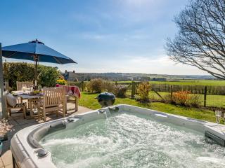
Wallops Wood Cottages
Award winning converted cottages in tranquil location in the South Downs National Park, Wallops Wood is a year-round base for walking, cycling and sightseeing. The cottages incorporate ...
Places to eat nearby View all