Horsehouse and Coverdale
Recommended by

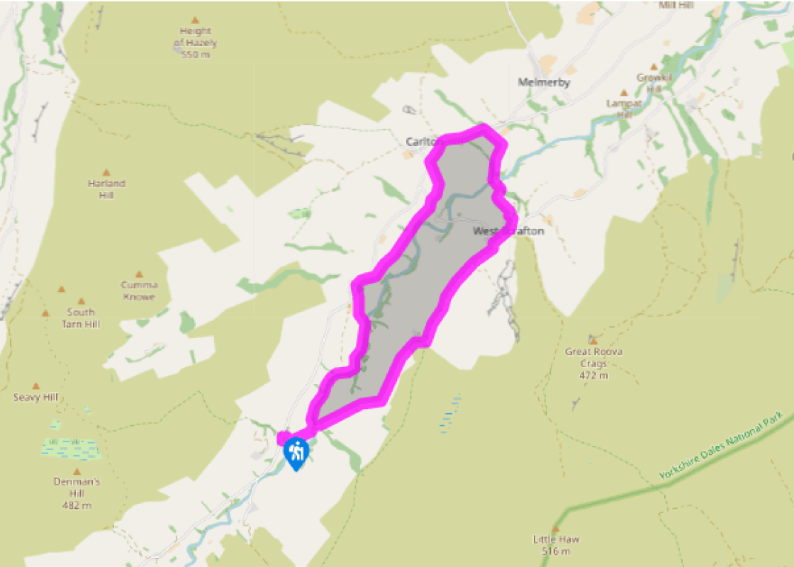
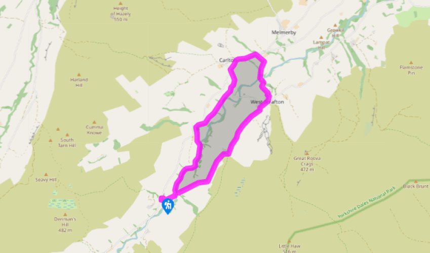
Walk directions
Walk past the Thwaite Arms, then curve behind it on a track between houses. Turn right down a signed track through a garden. Go through two gates, bend left to a third gate, then bear half right to a gate. Continue to a footbridge.
Cross the bridge and bear left, uphill. Go over a stile signed 'Swineside', cross a small field to another stile, then bear half right to go through a small plantation. Keep on in the same direction across open land, crossing a small stream, to a stile, then on to another stile and footpath sign. Bear left across a field to a gap in the left-hand boundary, then contour along a path, which becomes clearer, and cross a stile just above the first building of Swineside Farm.
View all directions
Additional information
Terrain
- Field, moorland and riverside paths and tracks, 31 stiles
Landscape
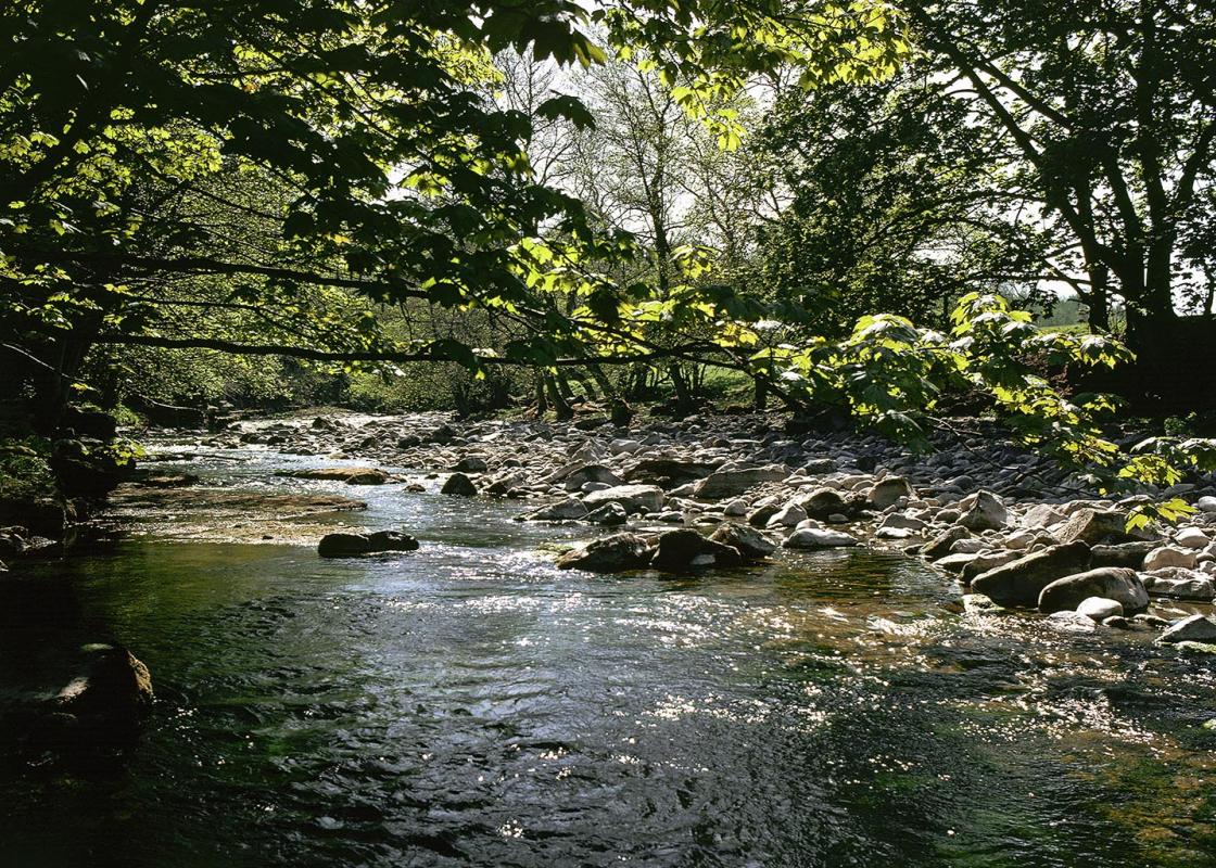
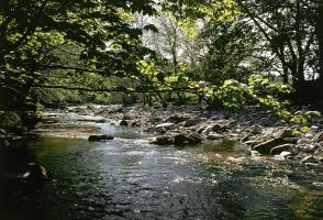
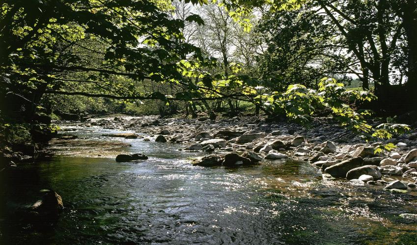
- Farmed valley and moorland, with River Cover
Dog friendliness
- Sheep in fields, so keep dogs on leads
Parking
- Roadside parking below former school in Horsehouse
Toilets en route
- None on route
About the walk
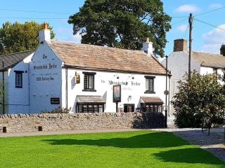
It seems hard to believe that the quiet village of Horsehouse was once a place bustling with traffic, as stagecoaches and packhorse trains passed through it on one of the main coaching routes from London to the North. The two inns that existed in the village served the travellers on their way to...
Read more

Been on this walk?
Send us photos or a comment about this route. Or recommend a route of your own.

Walking in Safety
Read our tips to look after yourself and the environment when following this walk.

Get an AA guide
Explore our range of ‘50 Walks in’ guides - they’re the ideal companion for a ramble.
Been on this walk?
Send us photos or a comment about this route. Or recommend a route of your own.
Walking in Safety
Read our tips to look after yourself and the environment when following this walk.
Get an AA guide
Explore our range of ‘50 Walks in’ guides - they’re the ideal companion for a ramble.
About the area
North Yorkshire, with its two National Parks and two designated Areas of Outstanding Natural Beauty, is England’s largest county and one of the most rural. This is prime walking country, from the heather-clad heights of the North York Moors to the limestone country that is so typical of the Yorkshire Dales – a place of contrasts and discoveries, of history and legend.

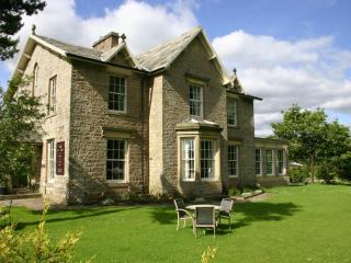
Nearby places to stay
View all (8)


Nearby places to stay
Flag Cottage
A home-away-from-home, newly refurbished Flag Cottage is an exceptionally well-appointed self-catering holiday home in the picturesque village of West Burton. It is a charming, spacious...
Flag Cottage
A home-away-from-home, newly refurbished Flag Cottage is an exceptionally well-appointed self-catering holiday home in the picturesque village of West Burton. It is a charming, spacious...
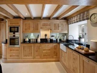
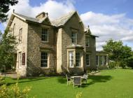
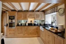
Cottage in the Dales
Aptly named, Cottage in the Dales, comprises three Grade II listed cottages in the heart of the Yorkshire Dales National Park. The owners here pride themselves on delivering a luxury ex...
The Byre, Newbiggin
Awaiting description...
The Dairy, Newbiggin
Awaiting description...
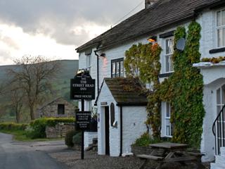
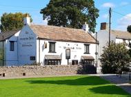
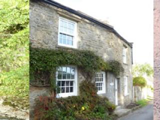
Street Head Inn
The Street Head Inn is a Grade II listed free house in the heart of the stunning Yorkshire Dales National Park, with easy access to the market towns of Leyburn and Hawes. Dating from th...
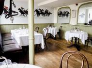
The Saddle Room
The Saddle Room is located in the idyllic Tupgill Park Estate at the heart of the Yorkshire Dales. Accommodation comes with many thoughtful extras, maintained by a proactive, friendly t...
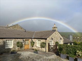
Coachman's Loft
Coachman’s loft is a delightfully spacious, tastefully renovated first floor conversion of a stone barn into a Cottage which sleeps 2, off the main street in West Witton. Accommodation ...
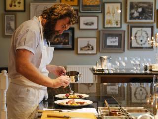
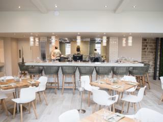
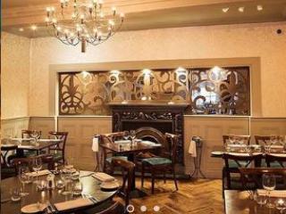
Places to eat nearby View all