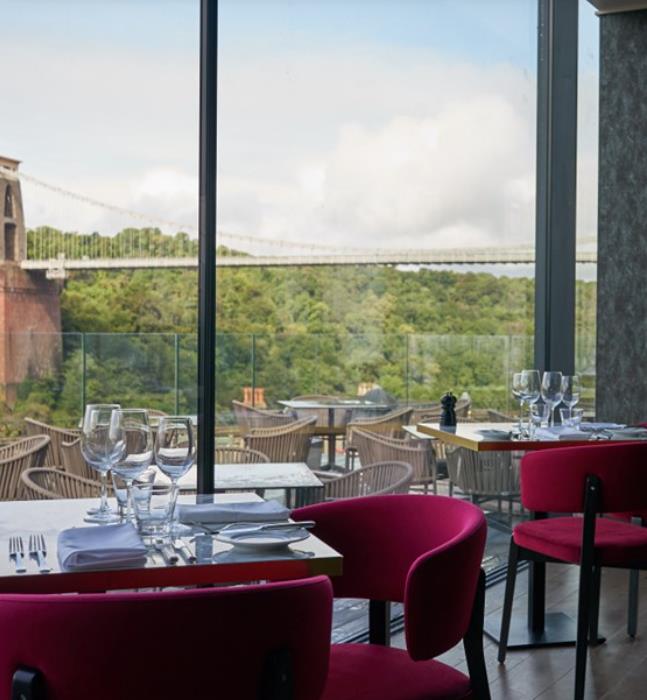
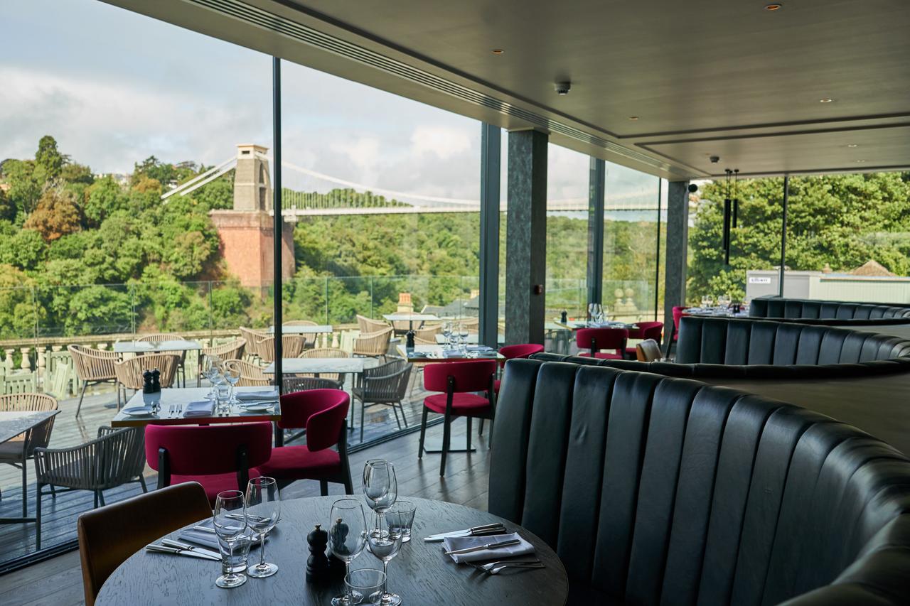
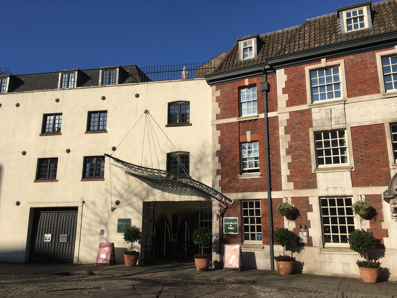
This iconic Bristol hotel restored and updated by Hotel Du Vin has an enviable location in…
In the Avon Gorge

A fascinating walk through a famous gorge below one of Brunel’s masterpieces.
4.25 miles (6.8kms)
About the walk
Avon Gorge has its own special climate, and hosts insects and plants found nowhere else, such as the Bristol onion and Bristol rock cress. Peregrine falcons nest here most years. But it's geology that gives the gorge its Site of Special Scientific Interest (SSSI) status.
Avon and Africa
The river possibly predates the low hills it runs through. The land was pushed up into a dome as a distant effect of Africa banging against Spain 300 million years ago. As the land rose the river carved its way down to form the gorge. The first crags you pass are sandstones, some of the oldest rocks in Somerset. These reddish-brown rocks have also been used in the railway wall alongside your path. They represent sub-tropical deserts; soon, as 'Somerset' drifted northwards across the equator, they would be replaced by a warm limestone sea. Upstream, you pass opposite a high wall of pale brown limestone, its strata dipping to the right as you move into the downhill side of the dome. Heading upstream is also passing forward through time, from the Devonian to the Carboniferous roughly 50 million years later. The gorge was one of the first places in history for the study of Carboniferous coral fossils. In Nightingale Valley your feet may feel a practical consequence of shifting from the sandstone to the Carboniferous: the limestone bedrock forms a particularly sticky sort of mud. But geological studies are distracted by the impressive Clifton Bridge overhead.
Suspension of disbelief
Clifton Bridge was Isembard Kingdom Brunel's first commission, when he was just 25. Building delays included the Bristol Riots of 1831; after 13 years' work the bridge was abandoned with just the towers built. Brunel died in 1859, and bridge was completed as his memorial in 1864. The bridge is hung from six chains of hinged wrought-iron bars. Its span of 700ft, just over 200m, made it the longest bridge in the world, until steel cable, more than 10 times stronger than wrought iron, allowed today's huge suspension bridges like the nearby Severn Bridge into Wales.The weight of the bridge is transferred into tension (or stretching) forces in the iron cables. So their ends have to be anchored 55ft (17m) deep in the rock walls behind the two towers. There's as much chain underground as there is between the ground and the top of the bridge tower. Where a structure is perfectly designed for its function, beauty comes of its own accord. The Clifton Bridge is a showpiece example. Even the elegant curve of its chain, called a 'catenary', has a simple mathematical formula determined by the vertical and horizontal forces.
Walk directions
Start opposite the car park along the Red Trail, a wide earth path towards the river. After 50yds (46m) bear right (Red and Purple Trails). In another 90yds (82m) turn left on the Red Trail (the Purple Trail continues ahead). The wide path runs under beech trees, past a shelter that is roofed with shingles (wooden tiles) to a T-junction with the wood dropping away ahead.
Turn left (Red Trail), heading along the rim of a wooded combe. After 110yds (100m) gently downhill, where a red waymarker points ahead (to the car park), bear right, down into the combe. At its floor turn right down a rougher path for 200yds (183m). Turn up left onto a terrace path with glimpses of the river. After 300yds (274m), at a point with a view ahead along the river, bear right on a smaller path past a picnic table. The path slants down across a shallow combe to a T-junction with fir trees. Here turn down right to the River Avon.
Turn right again – your route now follows the Avon upstream on a wide riverside path for 1.5 miles (2.4km). Some 220yds (201m) before Clifton Bridge high overhead, a rock-buttress opposite is studded with metal pins to stop it falling on the A4. Here turn off right, through a gate under a railway bridge.
A wide path goes up the floor of Nightingale Valley, soon passing an interpretation board, then steepening with rough stone steps. At the valley top a gate ahead leads out on to a street; a left turn (North Road) would take you to Clifton Bridge (0.75 mile, 1.2km). Alternatively, a bike trail on the right is a quick return (0.75 mile/1.2km) to the car park. However, our route turns sharp right before the gate, onto a path marked ‘No Bikes’. Fork right near a house to stay alongside the drop into Nightingale Valley. The earth path passes through the earthworks of Stokeleigh Camp, to a viewpoint overlooking the river.
Turn sharp left, alongside wooden railings protecting the drop. After 200yds (180m) bear right, to pass through the earthwork to a small pond on the left. Turn left on the wide and smooth Purple Trail, with the ditch and earth wall of the hill-fort on your left. After 200yds (183m) another purple waymarker points to the right. The trail wiggles through a wall gap, and in another 80yds (73m) forks left at a bench. It runs straight through the wood, and arrives at the tarred access track with speed bumps, with the car park just ahead.
Additional information
Wide and mostly waymarked, one steep section
Wooded slopes, tidal riverside and a gorge
Dogs can be off lead throughout
AA Walker's Map 25 Bristol, Bath & The Mendips
At Leigh Woods
None on route
WALKING IN SAFETY
Read our tips to look after yourself and the environment when following this walk.
Find out more
Also in the area
About the area
Discover Bristol
The Anglo-Saxon settlement at Bristol grew up around the bridge and harbour on the River Avon. With access to the sea, it increased in importance. Isambard Kingdom Brunel, whose London—Bristol railway line terminated in his gothic-style station of Temple Meads, had long been involved with Bristol. He had remodelled the docks in 1830, and six years later designed the Clifton Suspension Bridge over the 250-foot (76m) deep Avon Gorge.
During the bombing raids of World War II many churches and historic houses were lost. Fortunately, the finest parish church in England, St Mary Redcliffe, with its 292-foot (89m) spire, survived, although traffic now swirls all around it. Bristol Cathedral was founded as an Augustinian abbey in the 1140s and became a cathedral in1542. The Norman chapter house is particularly fine. There is almost too much to see in Bristol: other gems include Wills Tower, John Wood’s Corn Exchange, the Coopers’ Hall by William Halfpenny, the Grotto at Goldney House in Clifton, the long south façade of Ashton Court, and the Christmas Steps (off the beginning of Park Road).
Nearby stays
Restaurants and Pubs
Nearby experiences
Recommended things to do
Why choose Rated Trips?
Your trusted guide to rated places across the UK
The best coverage
Discover more than 15,000 professionally rated places to stay, eat and visit from across the UK and Ireland.
Quality assured
Choose a place to stay safe in the knowledge that it has been expertly assessed by trained assessors.
Plan your next trip
Search by location or the type of place you're visiting to find your next ideal holiday experience.
Travel inspiration
Read our articles, city guides and recommended things to do for inspiration. We're here to help you explore the UK.


