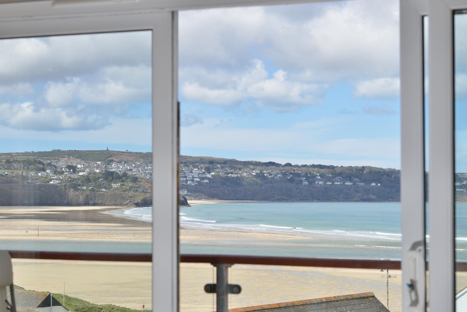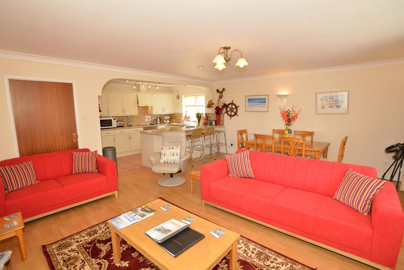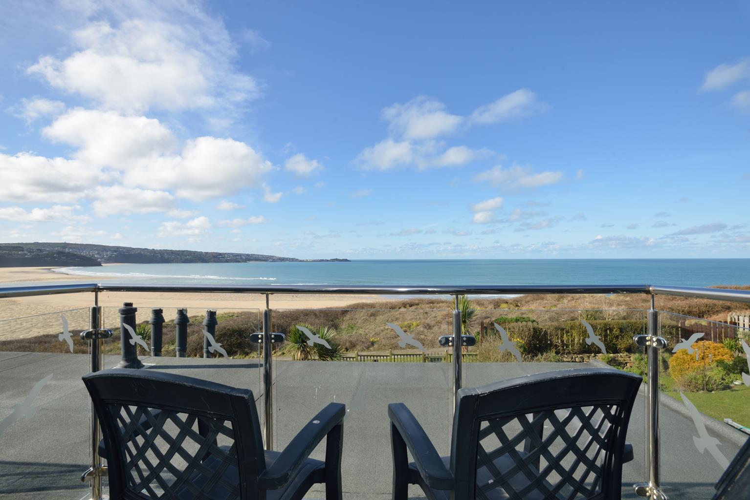
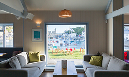
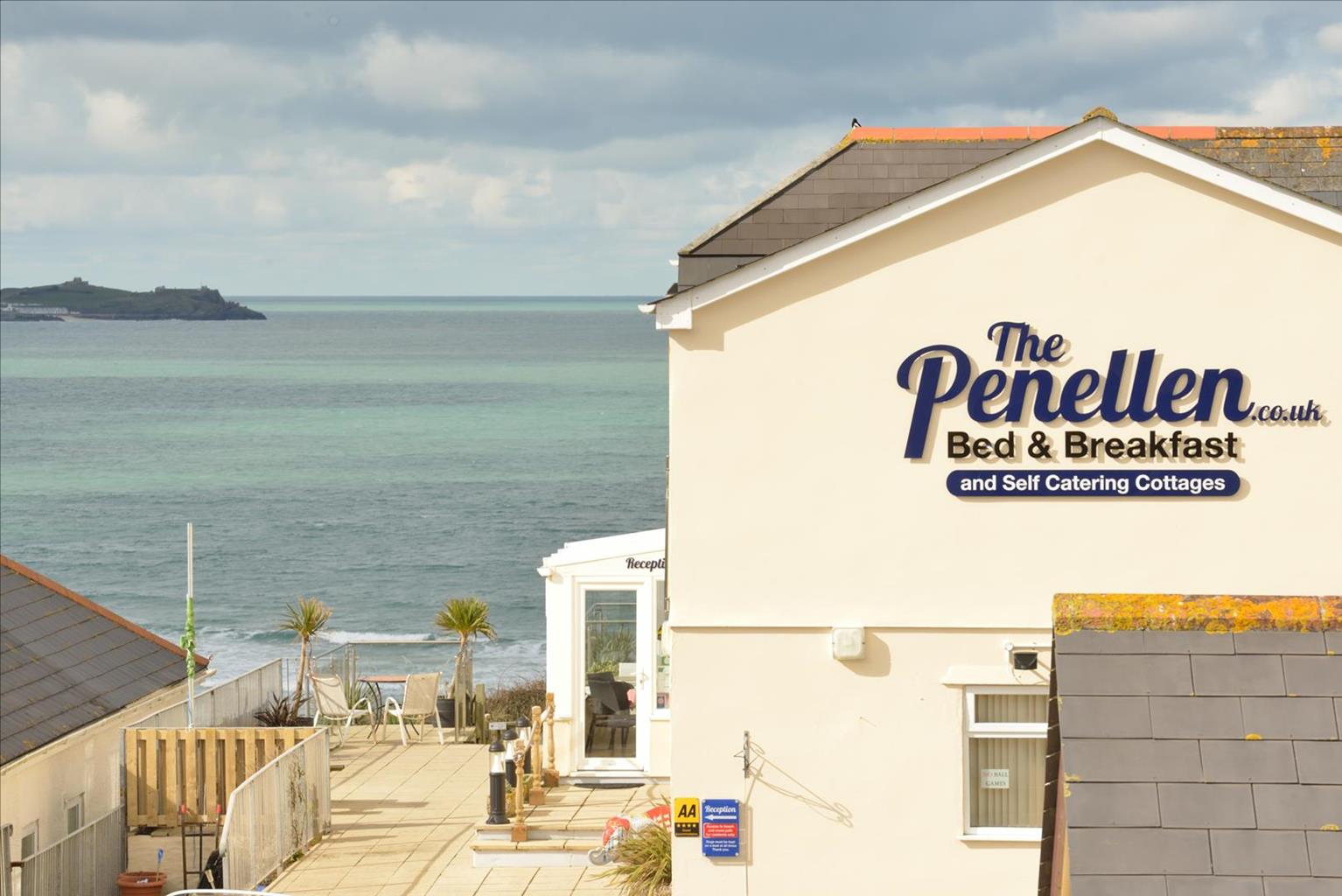
The Penellen Guest Accommodation
Superbly situated at the water's edge, this personally run, friendly property has splendid views…

St Ives
4 miles (6.4kms)
In 1877 the archetypal Cornish fishing village of St Ives was linked to the mainline railway and was never the same again. The 4.5 miles (7.2km) of track that wound its way from St Erth along the estuary of the River Hayle and then above St Ives Bay was intended to make markets more accessible to the local fishing industry. It also opened the town to the fast-developing tourism of the late 19th century. Fishing declined, but by the 1940s and 1950s the branch line was carrying tens of thousands of holidaymakers to St Ives and was enjoyed by huge numbers of local people. Today the line carries crowds of day-visitors and its scenic qualities are still unspoiled. The coastal footpath also traverses the beautiful surroundings through which the line passes. You can travel either way between station halts and return on foot through magnificent coastal scenery.
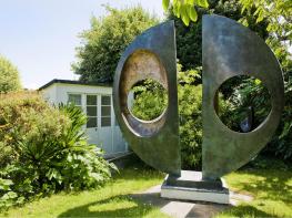
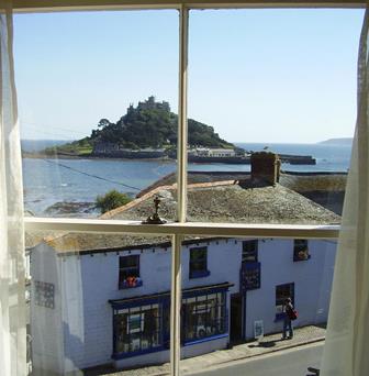
St Ives probably originated as a small fishing community as far back as prehistory. It prospered greatly from the medieval period and the pilchard fishing that became its mainstay helped to create the distinctive area known as Downlong, whose cobbled streets weave around the town's harbour. St Ives is now one of Europe's most famous resorts, and has the distinction of being an internationally acclaimed centre of art. The town's numerous art galleries, headed by the prestigious Tate St Ives, enhance that reputation.
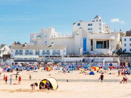
This walk approaches St Ives along the line of the railway on the southern shore of St Ives Bay. It begins at the charming station of Lelant, a peaceful little place on the inner estuary of the Hayle River. From Lelant station the route leads to the handsome church of St Uny and St Anta at Lelant, briefly crosses a golf course and then skirts above Porth Kidney where a vast expanse of sand is exposed at low water. At Hawke's Point, the path enters a green and leafy section of coast and soon reaches the popular resort of Carbis Bay. The railway is crossed by a footbridge just beyond here and before reaching the outskirts of St Ives the way leads past a fascinating relic of the great pilchard fishing industry, the Baulking House. From here a lookout, called a 'huer', kept watch for the tell-tale purple stain of pilchard shoals in the bay below. The huer would then use hand-held signalling devices to direct the seine-net boats in the silent, skilful trapping of many thousands of the fish that was the good fortune of St Ives for centuries.
Turn right along the tree-shaded lane outside Lelant station. Follow the surfaced lane, keeping straight ahead at a junction and in just under 0.25 miles (400m) reach a T-junction. Turn right and uphill to the Church of St Uny and St Anta.
Take the obvious footpath to the left of the churchyard entrance. The path leads for a short distance across part of a golf course. (Look out for flying golf balls.) Continue until a concrete blockhouse is reached. Go under the railway bridge, then turn left by a house, at a coast path sign. There was once a small ferry running from shore to shore here.
The way now leads above the sand dunes of Porth Kidney, where a glittering expanse of sand is exposed at low tide. Soon you climb steadily between hedges to the headland of Carrack Gladden, or Hawke's Point. Just past a railway crossing you have a choice of routes.
Keeping to the higher route leads alongside the railway to Carbis Bay. For a more scenic route take the signposted right-hand branch steeply downhill and along the grassy cliff edge, finally climbing some steep steps to meet the road. Turn right here and down to Carbis Bay beach and the promise of a swim in warm weather.
Follow the path in front of the Carbis Bay Hotel, then turn up left to climb steps to reach a footbridge across the railway. Follow the path ahead and on along a surfaced lane that runs through a residential area. Where the lane branches, keep straight ahead, signposted 'Coast Path', to reach the Baulking House. Go straight across at a crossroads just past the Baulking House and follow a track past several seats and then cross a bridge over a railway. Continue along this path, ignoring steps to the left. The path becomes a track and then a lane.
Where the lane bends sharply left, keep ahead –signed 'St Ives' – and go down a surfaced path, and then some steps, to reach Porthminster Beach by the Porthminster Beach Café. Walk alongside the beach and reach St Ives railway station and car park by going up steps in the high granite wall on the left. Alternatively, keep ahead past the Pedn Olva Hotel and walk into the heart of the town.
Excellent
Coastal sand dunes, cliff paths and surfaced lanes
Can let dogs off lead. Summer dog bans on Carbis Bay Beach and Porthminster Beach
OS Explorer 102 Land’s End
Station car park at St Ives, or other car parks throughout town. There is very limited parking in Lelant – catch a train from St Ives to Lelant and walk back to St Ives
Carbis Bay and Porthminster Beach
<p>This walk uses the Penzance–St Erth–St Ives railway. In summer about 16 trains a day run between Penzance, St Erth and St Ives, stopping at Lelant and Carbis Bay. Fewer trains stop at Lelant and all of these are by request only. Note that Lelant is a request stop and for most of the day trains do not stop there even if requested. However, Lelant Saltings –the next stop along –is but a ten-minute walk away along a lane called The Saltings and all trains to and from St Ives stop there. Check timetables carefully (gwr.com)</p>
Read our tips to look after yourself and the environment when following this walk.
Cornwall has just about everything – wild moorland landscapes, glorious river valley scenery, picturesque villages and miles of breathtaking coastline. With more than 80 surfing spots, there are plenty of sporting enthusiasts who also make their way here to enjoy wave-surfing, kite surfing and blokarting.
In recent years, new or restored visitor attractions have attracted even more visitors to the region; the Eden Project is famous for its giant geodesic domes housing exotic plants from different parts of the globe, while nearby the Lost Gardens of Heligan has impressive kitchen gardens and a wildlife hide.
Discover more than 15,000 professionally rated places to stay, eat and visit from across the UK and Ireland.
Choose a place to stay safe in the knowledge that it has been expertly assessed by trained assessors.
Search by location or the type of place you're visiting to find your next ideal holiday experience.
Read our articles, city guides and recommended things to do for inspiration. We're here to help you explore the UK.