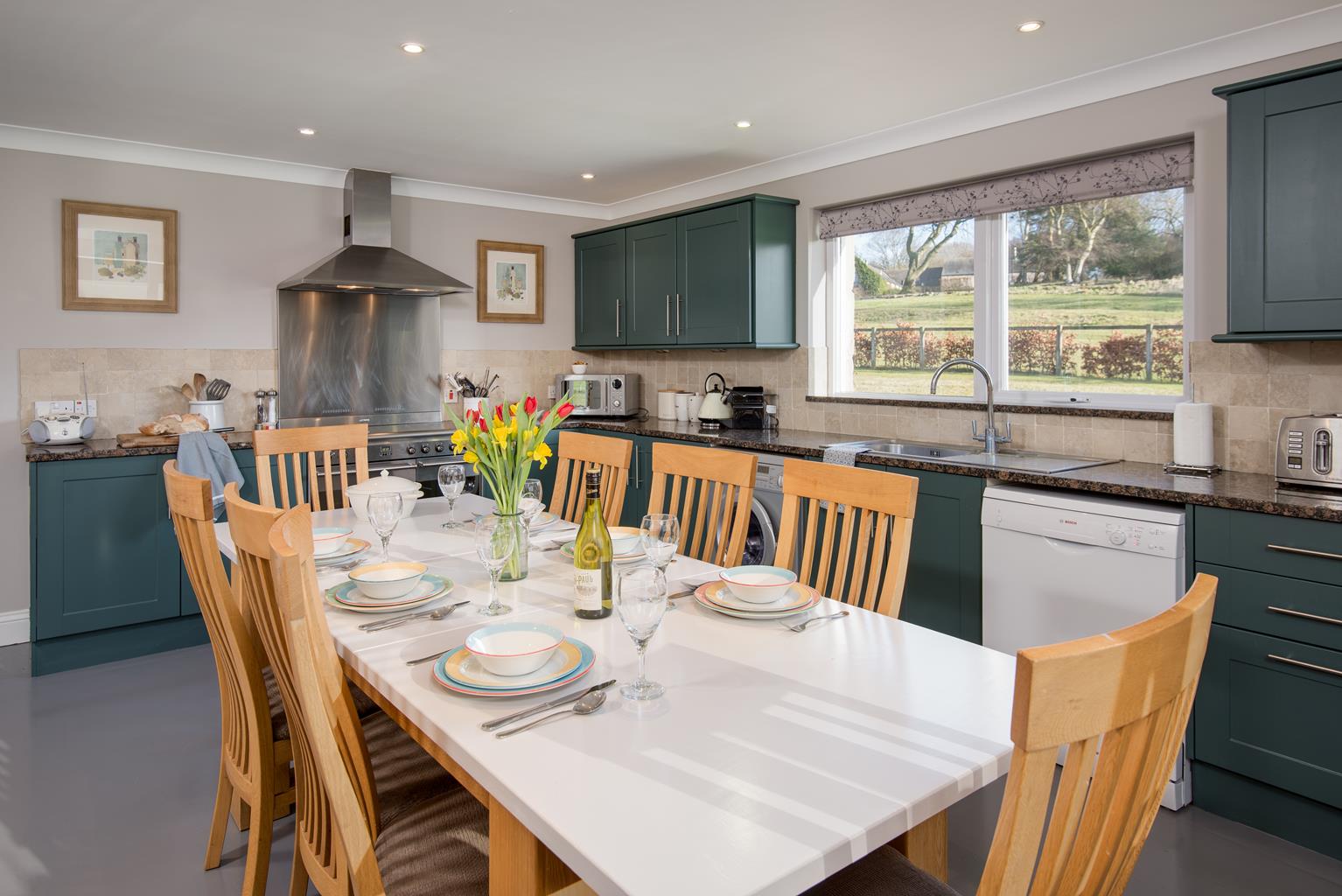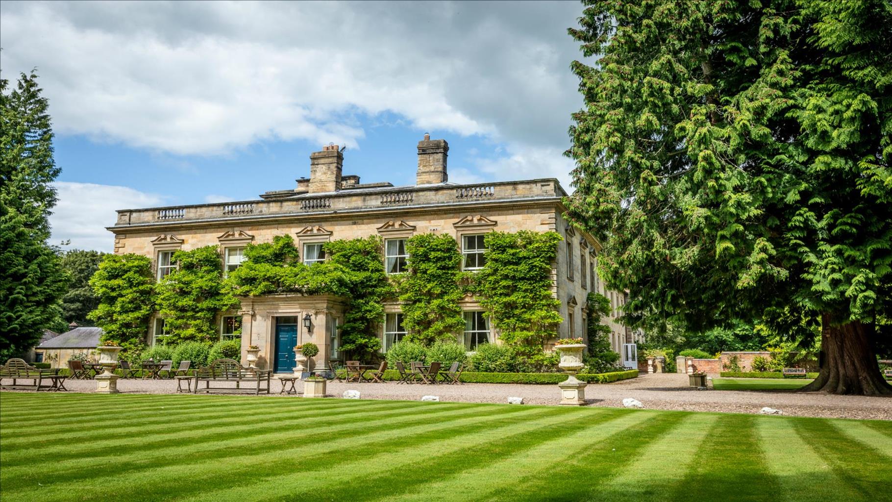

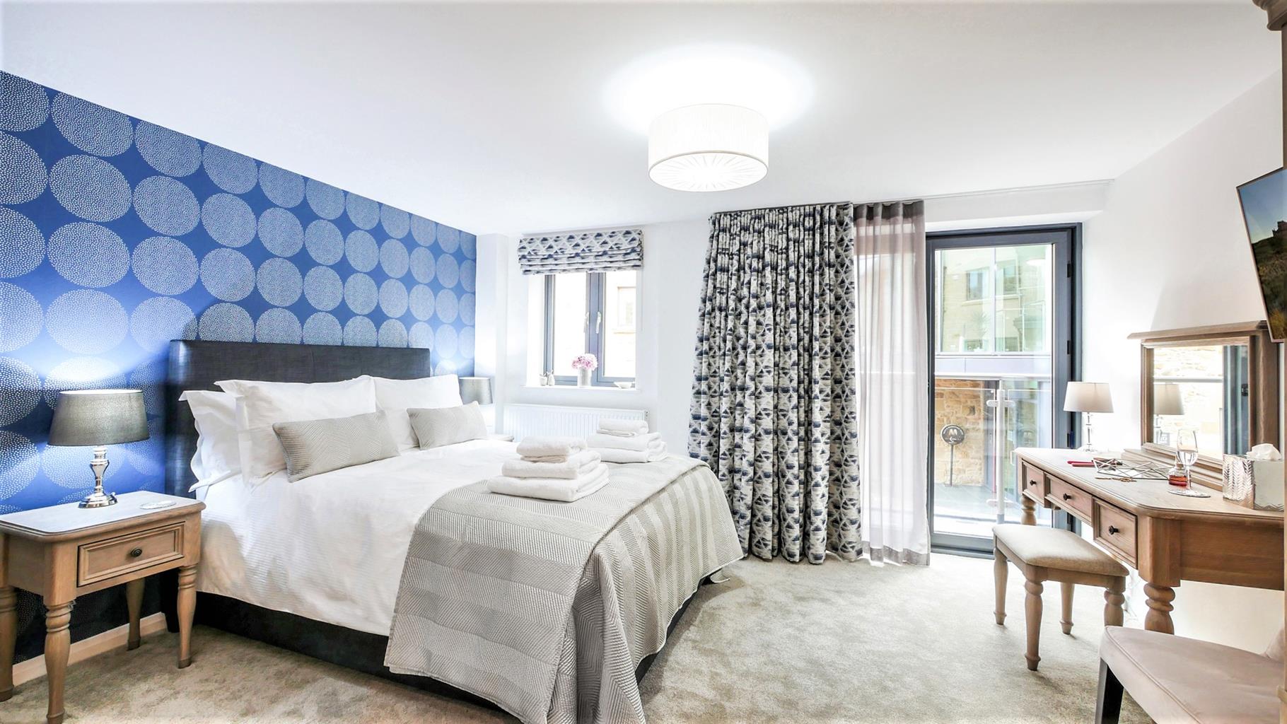
North Star
North Star is a luxuriously furnished apartment in the old Malthouse building in the centre of…

Morpeth
7.25 miles (11.7kms)
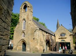
The 16th-century travel writer, John Leland, described Morpeth as a ‘fayrer towne than Alnwicke’, a sentiment still upheld by the town’s natives. It certainly is an attractive place, with many streets lined by fine Georgian buildings and a sprinkling of some that are considerably older. But it isn’t a museum either, and its work-a-day bustle reflects an 800-year tradition as a market town, which you can see in a short tour at the end of the walk.
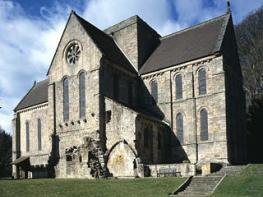
Little remains of the town’s original buildings, which witnessed the often bloody events that marked its early history as a frontier town. Fortified shortly after the Norman Conquest, the first defence was a motte and bailey surmounting a mound, Ha' Hill, and overlooking the river in what is now Carlisle Park. This was superseded by more sophisticated fortifications on the higher ground behind, of which the 14th-century gatehouse still survives. The town had an abbey too, founded a little way upstream as a daughter to the great Cistercian monastery at Fountains, in Yorkshire. The medieval-looking ‘castle’ opposite the park entrance, however, only appeared in 1821 – it has served as a gaol, police headquarters and courthouse.
The old and narrow town bridge was replaced in 1832 by Thomas Telford’s graceful three-arched span, which carried the Great North Road. At its northern end stands the Chantry, built in the late 13th century to serve as a chapel and tollhouse for the original bridge. Its chaplain began the town’s first grammar school, and this – refounded after the Chantry was dissolved along with the monastery by Henry VIII – continued in the building until 1858, when it moved to Cottingwood. The elegant Town Hall, gifted in 1714 by the Earl of Carlisle and re-fronted by Lord Joicey two centuries later, stands near the clock tower. This dates from around 1640 and was the gaol until the beginning of the 19th century.
Morpeth has associations with many notable people, including Vice-Admiral Lord Collingwood, Nelson’s second in command at the Battle of Trafalgar, and Dr John Horsley, dubbed the ‘Father of British Archaeology’ and minister of St George’s Church for 23 years. Emily Davison, one of the suffragette movement’s most determined activists, is buried in St Mary’s churchyard. She became a martyr in 1917 when she fell beneath the King’s racehorse.
Leave the car park and go right past the library. Bend left past the ambulance station, then fork right towards the River Wansbeck. Approaching a bridge, turn left onto a riverside path. Around a bend, emerge past Tommy's Field allotments onto the main road (A197). Cross to a large lay-by, behind which a stepped path climbs into Bluebell Wood. Keep ahead past a junction, then fork right. Later, at a crosspath, go right and back to the main road.
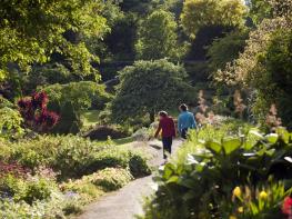
On the far side, a path, signed ‘Bothal’, descends into a lushly wooded valley through which flows the River Wansbeck. There follows a delightful, undulating walk for some 2.25 miles (3.6km), eventually ending by a former mill. Walk to the lane beyond, and turn right across the river.
After climbing from the valley, the lane continues above the wood. Where it later bends sharply left at Shadfen Cottage, go ahead over a stile into a field corner, and carry on at the edge of successive fields beside the right-hand boundary. Eventually, the way passes right of a deep excavation, once an opencast coal mine, before falling towards a stile into woodland. Drop through the trees to a bridge over a stream.
Regaining the fields above the far bank, follow a path ahead between the cultivation. Towards the far side, sidestep through the left hedge and walk out to a lane by Park House. Keep ahead for 120yds (110m) before passing through a gap in the right hedge, signed ‘Whorral Bank’. Walk away at the field edge, leaving in the corner onto the adjacent tack. Follow it left over a railway bridge.
Keep going over the field beyond to a stile, there dropping left across a rough pasture back into woodland. Soon joined by a track, continue to a junction by the river and turn left upstream. Emerging into a field, follow the perimeter left and then right to a cottage. The ongoing track shortly returns to the river.
Cross and follow your outward route back to town. Continue beyond the car park and over a junction to the Chantry. Turn left immediately beyond to a footbridge across the river. Keep ahead into Castle Square, walking a little further before turning into Carlisle Park. Swing right with the main drive past Ha' Hill, dropping to the river beyond. Head upstream past Elliot Bridge, eventually leaving the park at Oldgate Bridge. Walk over the bridge and keep ahead past the clock tower through the town centre back to the car park.
Woodland and field paths, streets in town, 6 stiles
Wooded valley, attractive park and town centre trail
On lead through town and on roads
OS Explorer 325 Morpeth & Blyth
Pay-and-display car park in Morpeth at eastern end of Bridge Street
At car park
Read our tips to look after yourself and the environment when following this walk.
If it’s history you’re after, there’s heaps of it in Northumberland. On Hadrian’s Wall you can imagine scarlet-cloaked Roman legionaries keeping watch for painted Pictish warriors while cursing the English weather and dreaming of home. Desolate battlefield sites and hulking fortresses such as Alnwick, Dunstanburgh, Bamburgh and Warkworth are reminders that this, until not so very long ago, was a contested border region. The ruins of Lindisfarne bear witness to the region’s early Christian history.
Northumberland also has some of Britain’s best beaches. On summer days, and even in winter, you’ll see surfers and other brave souls making the most of the coast. Inland, there are some great walks and bike rides in the dales of the Cheviot Hills and the Simonsides – just hilly enough to be interesting, without being brutally steep. There's dramatic scenery in the High Pennines, where waterfalls plunge into deep valleys, and there are swathes of heather-scented moorland. Northumberland National Park covers over 400 square miles of moorland and valleys with clear streams and pretty, stone-built villages. It’s just the place for wildlife watching too. You’ll find flocks of puffins, guillemots and other seabirds around the Farne Islands, and seals and dolphins offshore.
Discover more than 15,000 professionally rated places to stay, eat and visit from across the UK and Ireland.
Choose a place to stay safe in the knowledge that it has been expertly assessed by trained assessors.
Search by location or the type of place you're visiting to find your next ideal holiday experience.
Read our articles, city guides and recommended things to do for inspiration. We're here to help you explore the UK.