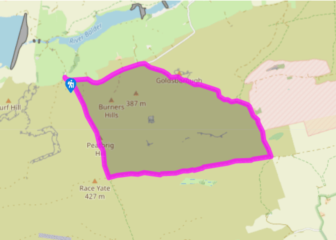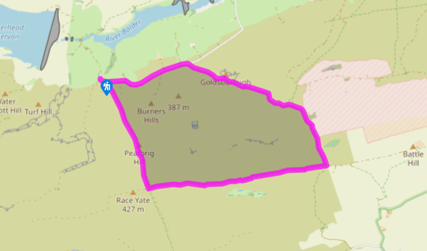
On Cotherstone Moor
Ignore the bridleway sign opposite the parking area and head back along the lane. Branch off right after 150yds (137m) by a Pennine Way signpost along an indistinct path slanting up across Cotherstone Moor. Marked by occasional wayposts, the trod passes right of Burners Hills, crossing a succession of drainage ditches. Climb on past the western tributary of Duck Sike, aiming for a Pennine Way signpost that becomes visible on the skyline. The way finally rises to a gate and stile beside the post at the corner of a wall and fence on the shoulder of Race Yate, the highest point attained during the walk.
Pass through the gate and follow the wall forward for 100yds (91m) to another gate. A faint trod, marked as a bridleway, leads away left to the east, initially runing parallel to a fence over to the left. In time, a low scar develops, the ground falling away more steeply below to give a grand view across Deep Dale to the hills of the northern Yorkshire Dales. The path runs along the top of the lip, gently descending along Ladyfold Rigg.

Been on this walk?
Send us photos or a comment about this route. Or recommend a route of your own.

Walking in Safety
Read our tips to look after yourself and the environment when following this walk.

Get an AA guide
Explore our range of ‘50 Walks in’ guides - they’re the ideal companion for a ramble.
Been on this walk?
Send us photos or a comment about this route. Or recommend a route of your own.
Walking in Safety
Read our tips to look after yourself and the environment when following this walk.
Get an AA guide
Explore our range of ‘50 Walks in’ guides - they’re the ideal companion for a ramble.
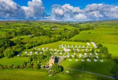
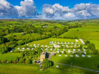
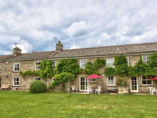
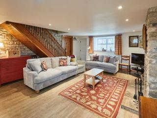
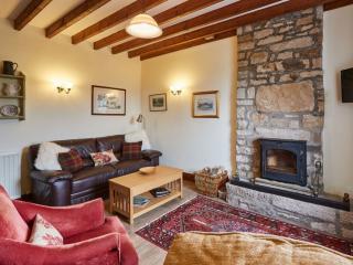
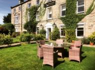
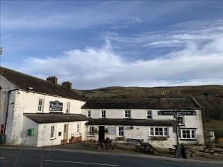
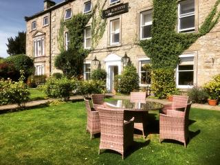
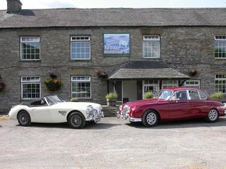
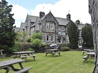
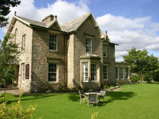
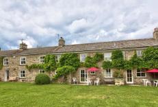
Nearby places to stay
View all (8)