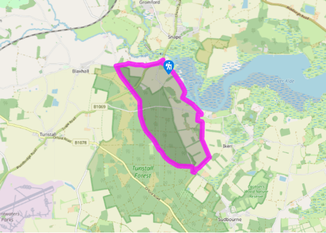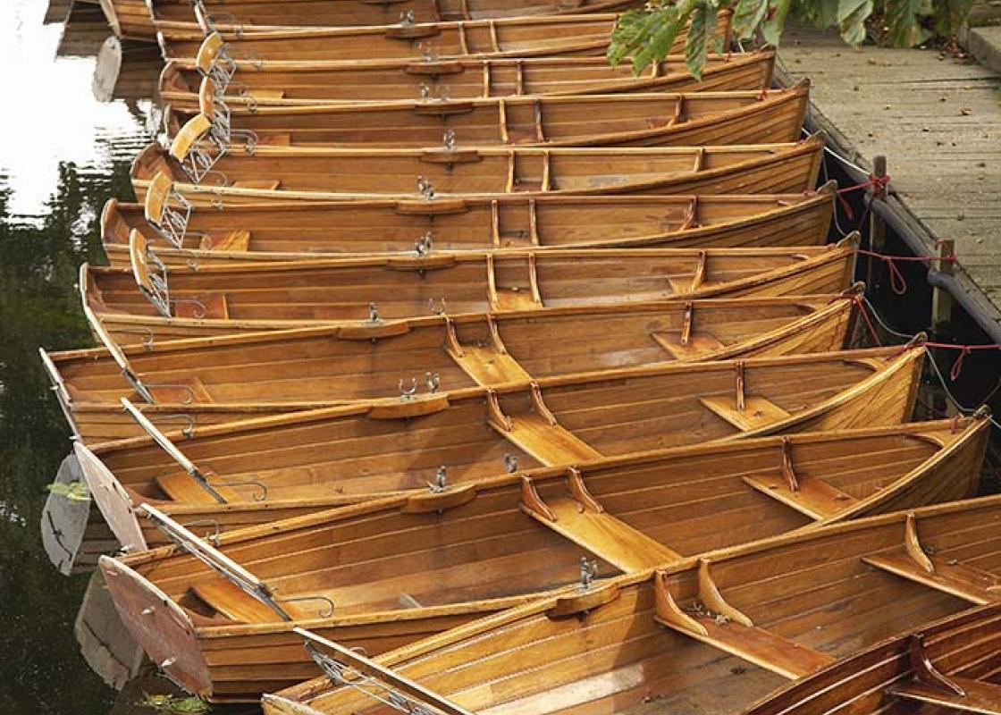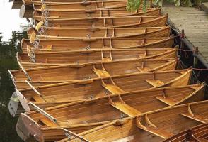
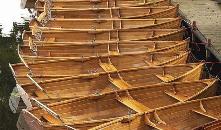
Snape Maltings
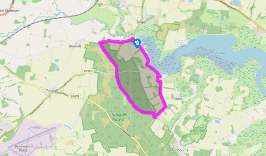
From the Maltings car park, turn left onto the B1069 road, and at the junction with a road signposted to Orford, go left on to a broad green track marked ‘footpath’. The track heads towards the marshes at the edge of the river, with Snape Maltings and car park beyond the hedge to your left. The path joins another track coming in from the left, turning parallel to the river, and heading for a thin line of trees, where the path becomes boardwalk, with fields to your right, and reeds lining the river bank to your left. Continue following the Suffolk Coast Path (SCP) markers. Walk along the bottom edge of Iken Cliff picnic site, a sloping field with views across the river. Keep your eyes peeled for some Steps on yhr right with wooden handrails and two SCP signs. Go up these steps, then follow a path between two fences. Turn left on to a sandy track, and after about 100yds (91m), right on to a tarmac road, looking for a footpath sign to the left after another 100yds (91m).
Follow this broad track down to the buildings of a pig farm, bearing left around the buildings and through the car park, then right on to a track heading up a modest hill towards some trees. Carry straight on when you reach the corner of the wood, then go right and then left to take you on to a broad track on the other side of the line of trees. The track goes through a line of trees ahead.

Been on this walk?
Send us photos or a comment about this route. Or recommend a route of your own.

Walking in Safety
Read our tips to look after yourself and the environment when following this walk.

Get an AA guide
Explore our range of ‘50 Walks in’ guides - they’re the ideal companion for a ramble.
Been on this walk?
Send us photos or a comment about this route. Or recommend a route of your own.
Walking in Safety
Read our tips to look after yourself and the environment when following this walk.
Get an AA guide
Explore our range of ‘50 Walks in’ guides - they’re the ideal companion for a ramble.
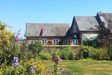
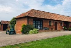
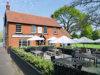
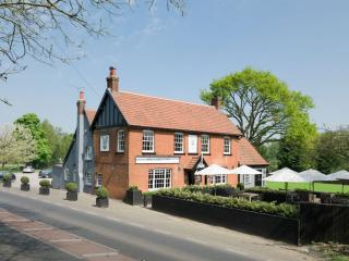
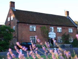
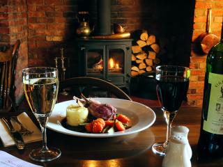
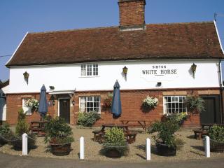
Nearby places to stay
View all (8)