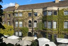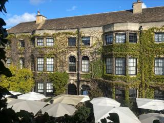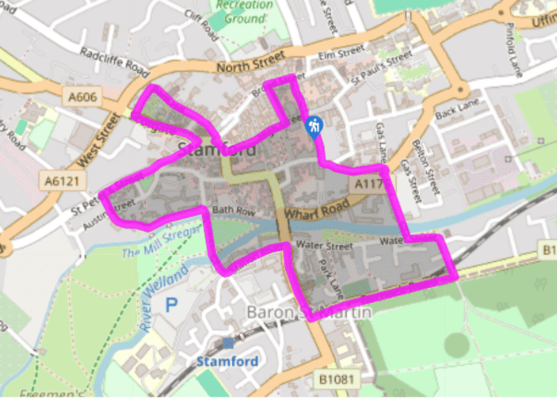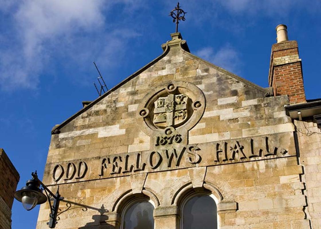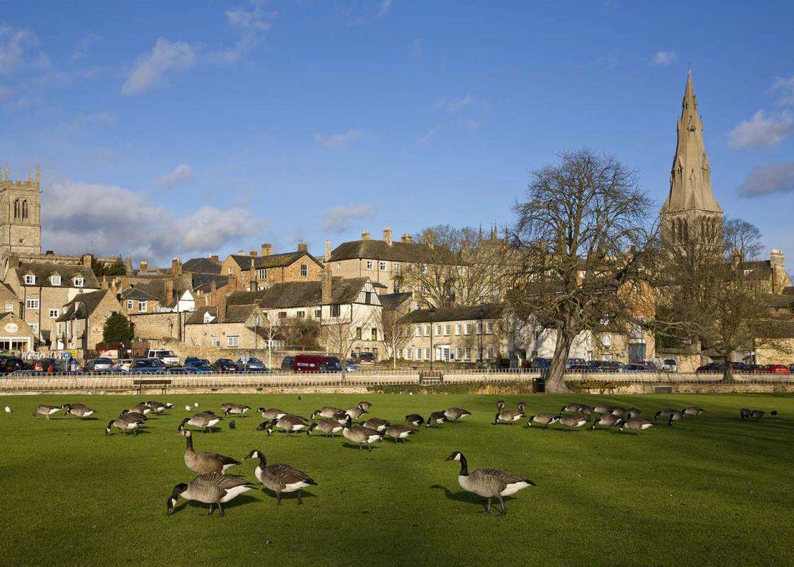

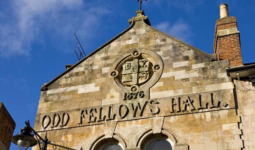
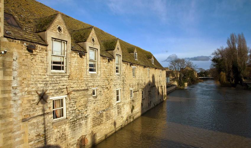
Stamford's architecture
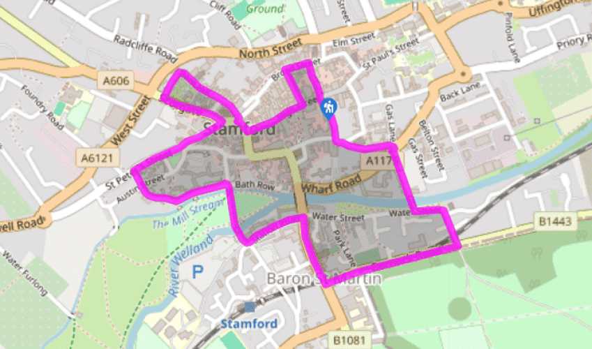
The walk starts at Stamford Library, resplendent with its grand Tuscan columns, located at the eastern end of the pedestrianised High Street in the town centre. Go through a narrow alleyway (initially covered) called Goldsmiths Lane, to the left of the library. At the end turn left and walk along Broad Street. Ahead, across the road, is Browne’s Hospital, established as an almshouse in the late 15th century by a wealthy local wool merchant. Turn left down Ironmonger Street, then right, back into High Street, and walk past the shops and along to Red Lion Square.
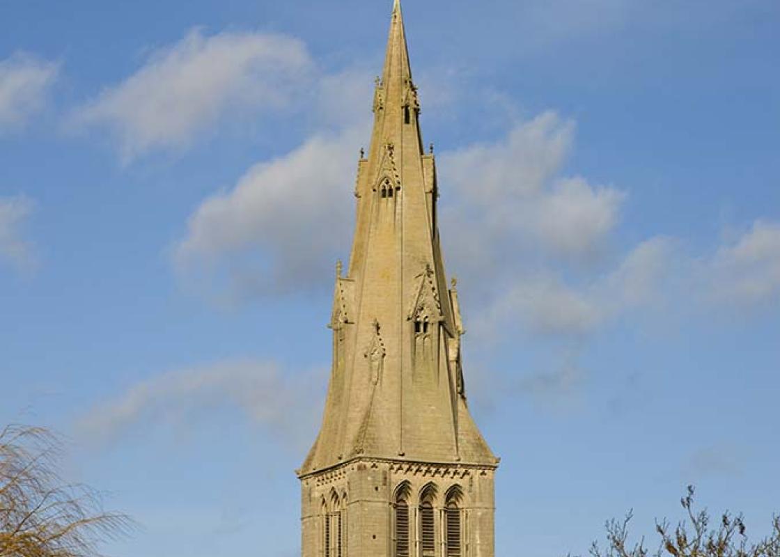
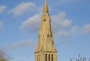
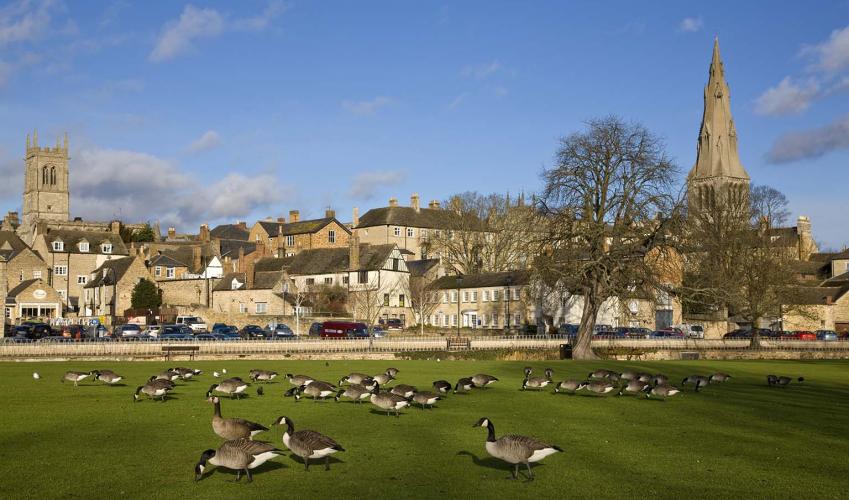
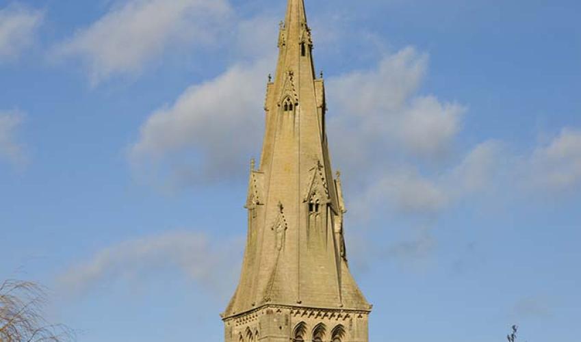
Turn right and walk on to and up the cobbled All Saints Place, with All Saints Church on your immediate left. Continue up Barn Hill, passing a number of impressive town houses, including one that was home to the antiquarian William Stukeley. At the end bear round to the left to emerge on Scotgate.

Been on this walk?
Send us photos or a comment about this route. Or recommend a route of your own.

Walking in Safety
Read our tips to look after yourself and the environment when following this walk.

Get an AA guide
Explore our range of ‘50 Walks in’ guides - they’re the ideal companion for a ramble.
Been on this walk?
Send us photos or a comment about this route. Or recommend a route of your own.
Walking in Safety
Read our tips to look after yourself and the environment when following this walk.
Get an AA guide
Explore our range of ‘50 Walks in’ guides - they’re the ideal companion for a ramble.

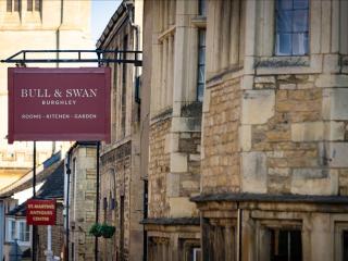
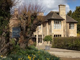
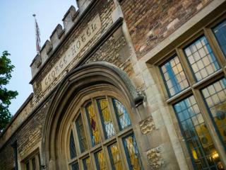
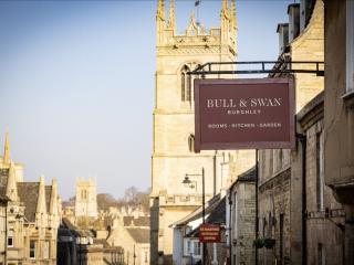
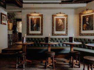
Nearby places to stay
View all (8)