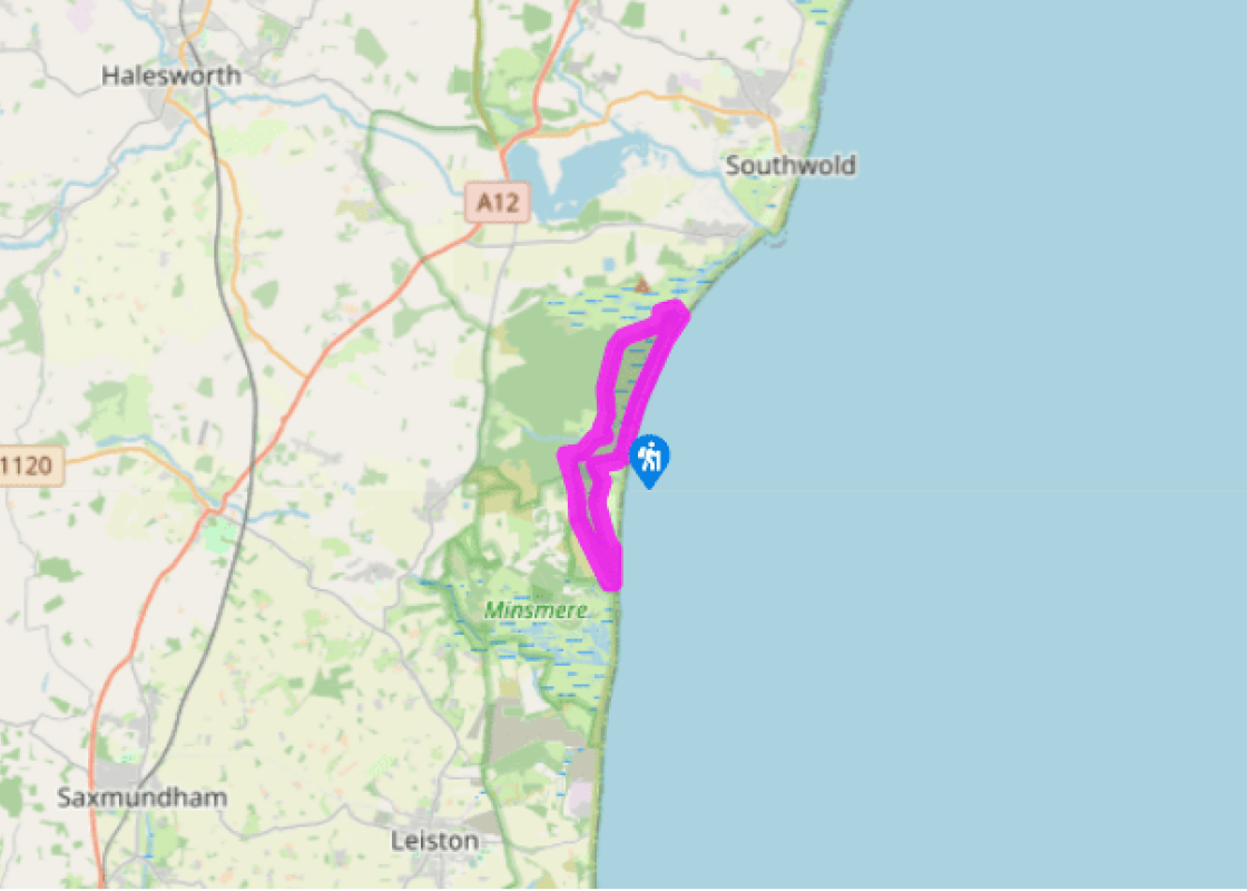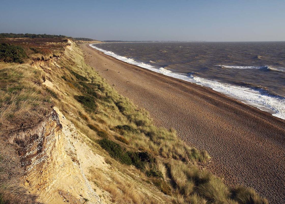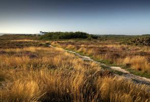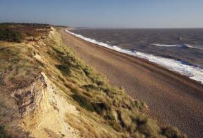
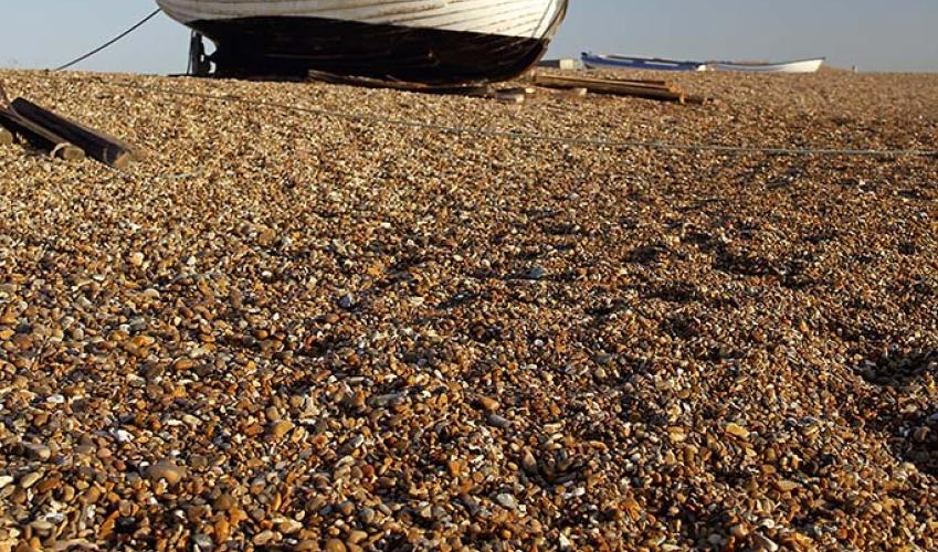
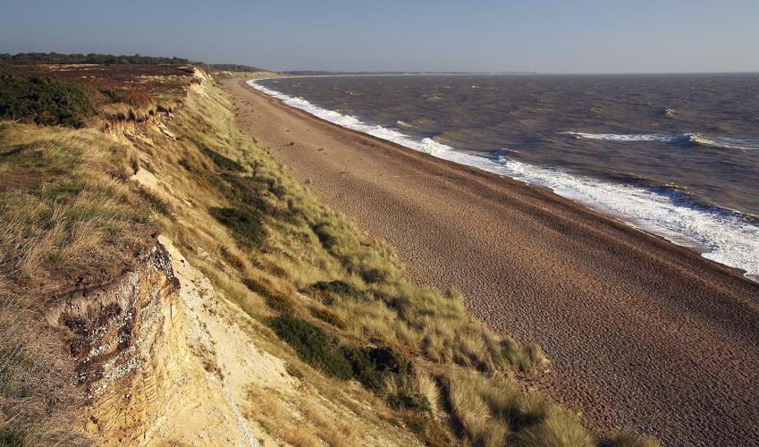
The ghosts of Dunwich
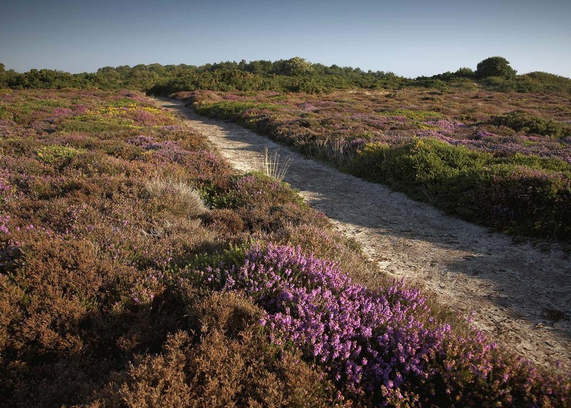
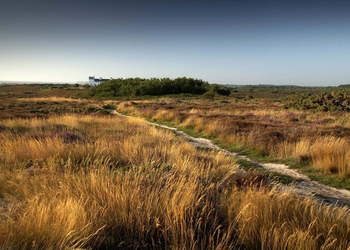
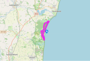
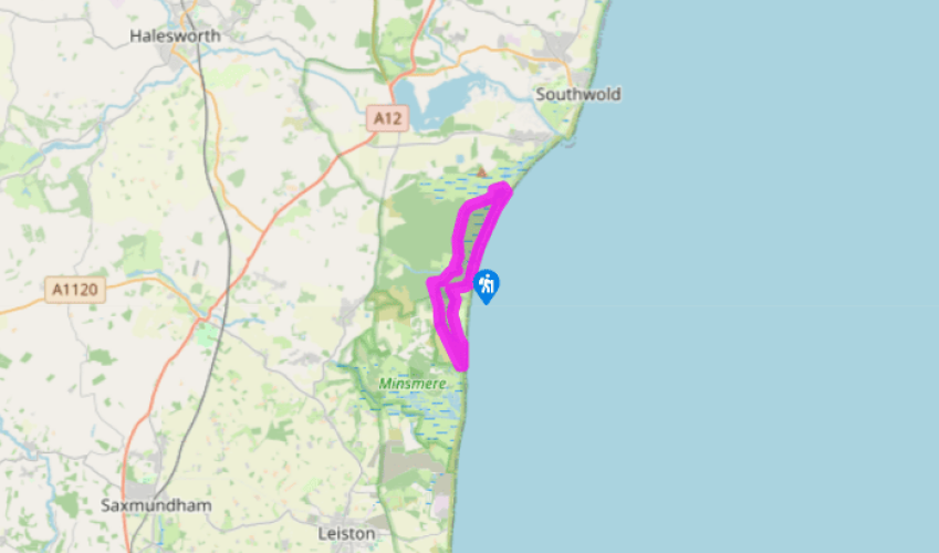
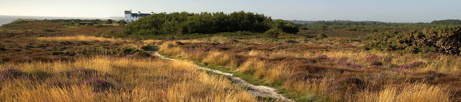
Walk up the road from the beach car park and keep left at the junction. When the road bends, turn left on to a footpath that climbs through the woods to the ruins of Greyfriars Friary. Follow this path, ignoring turnings off, then go under an arch and come out onto a track that leads to a road.
Turn left along the road then turn left off it after 100yds (91m) on a track to the Dairy House. Keep straight ahead on this path as it enters Greyfriars Wood and continues to a road.

Been on this walk?
Send us photos or a comment about this route. Or recommend a route of your own.

Walking in Safety
Read our tips to look after yourself and the environment when following this walk.

Get an AA guide
Explore our range of ‘50 Walks in’ guides - they’re the ideal companion for a ramble.
Been on this walk?
Send us photos or a comment about this route. Or recommend a route of your own.
Walking in Safety
Read our tips to look after yourself and the environment when following this walk.
Get an AA guide
Explore our range of ‘50 Walks in’ guides - they’re the ideal companion for a ramble.
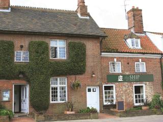
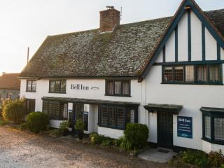
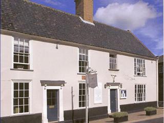
Nearby places to stay
View all (8)