Additional information
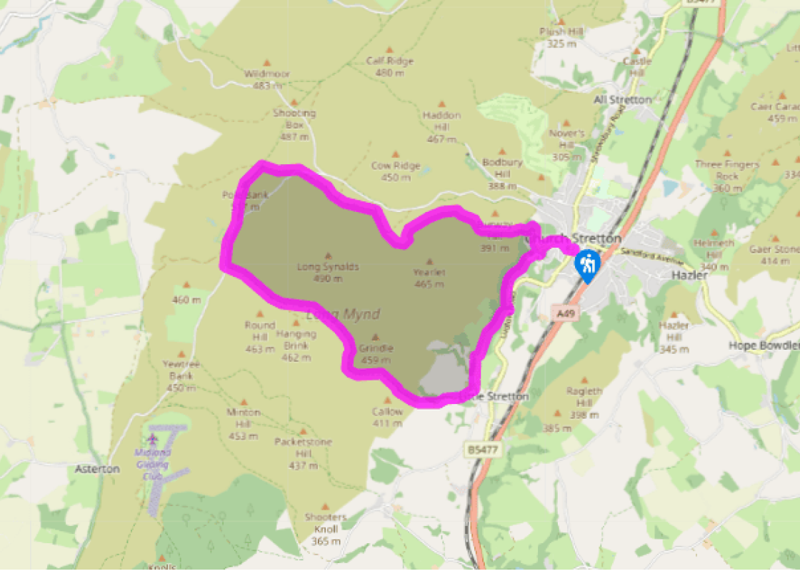
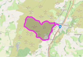
Terrain
- Mostly moorland paths and tracks
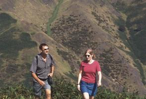
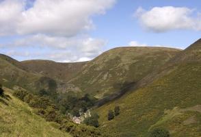
Landscape
- Moorland plateau with extensive views
Dog friendliness
- On lead between March and July on the Long Mynd
Parking
- Easthope Road car park, Church Stretton
Toilets en route
- At car park
About the walk
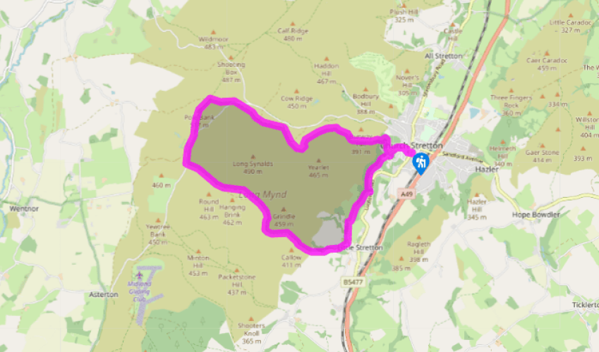
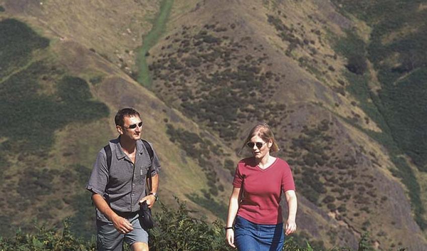
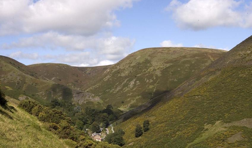
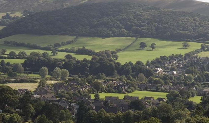
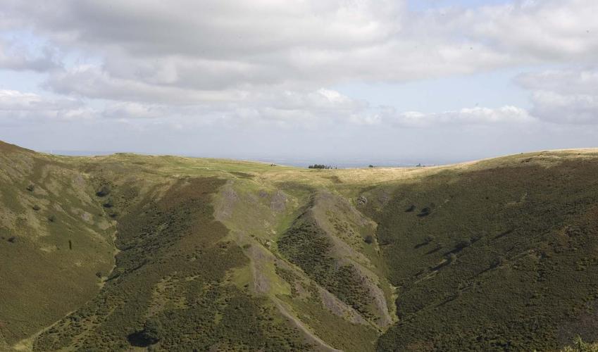
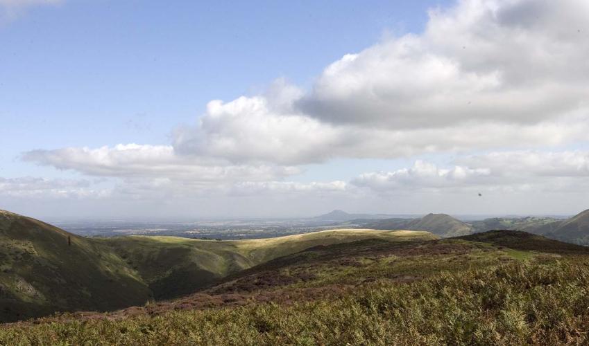
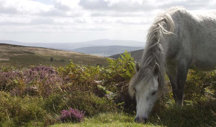
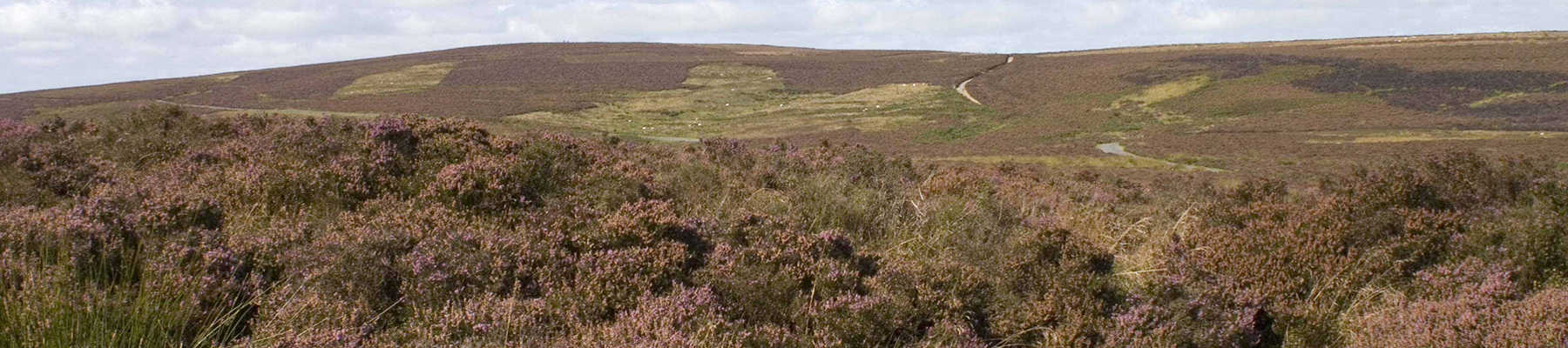
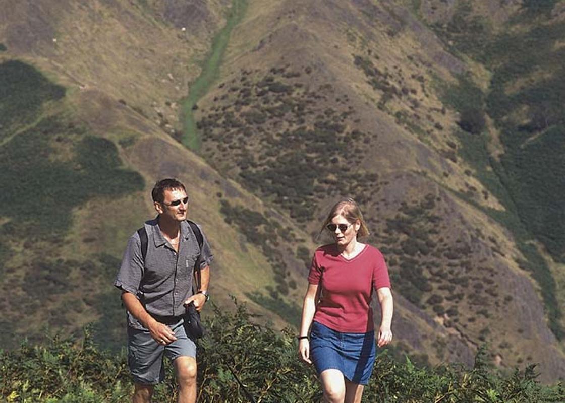
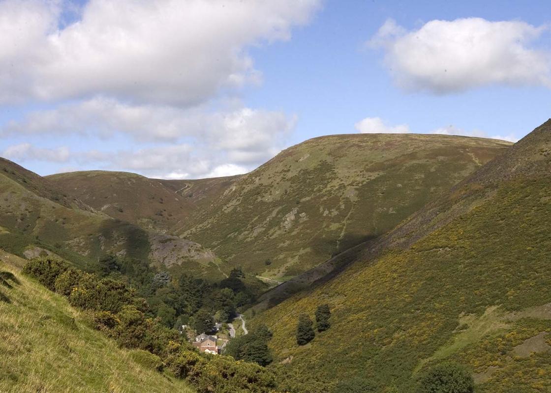
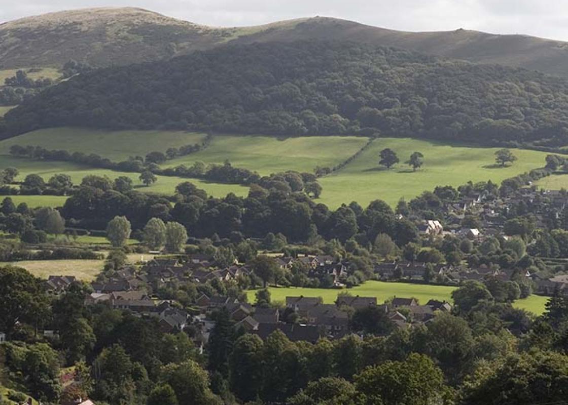
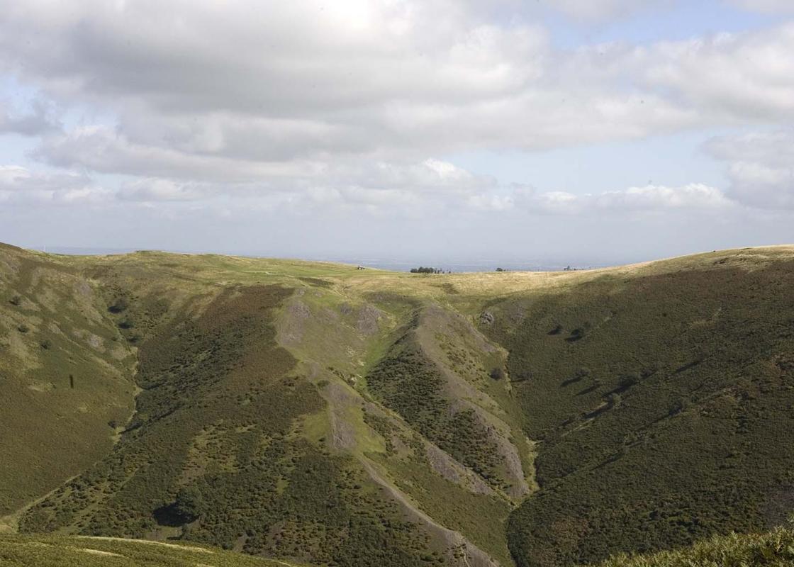
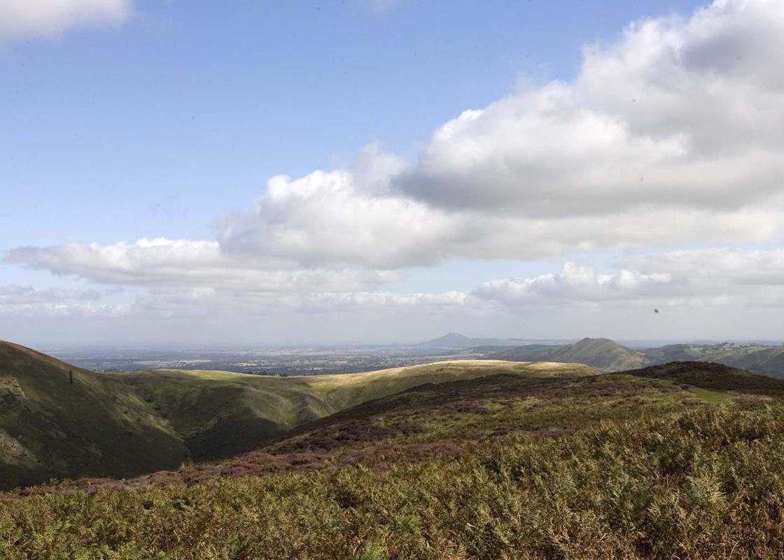
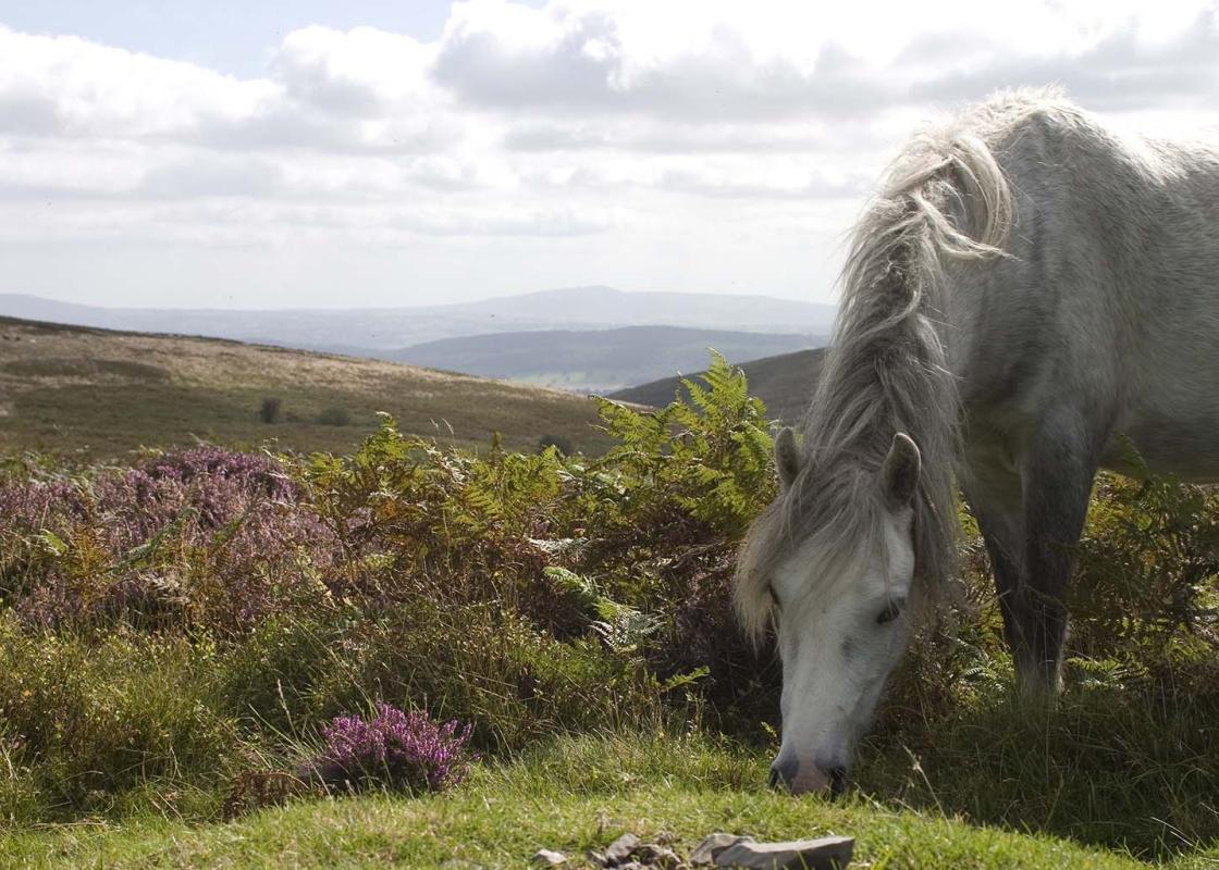
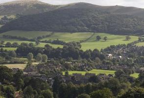
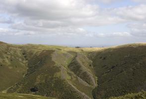
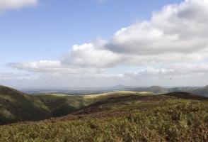
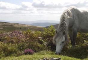
The Long Mynd derives its name from mynydd, a Welsh word for mountain. It’s not a mountain, though, but an undulating plateau cut by steep-sided valleys known as batches or hollows, forming one of the most distinctive and individual upland ranges in Britain. Clothed in heather, whinberry, bracken... and wiry moorland grasses, with a scattering of stunted, wind-contorted hawthorns and the occasional holly or rowan, it constitutes our most southerly grouse moor. While the grouse skulk in the heather, exploding into a frenzy of alarm calls and occasional flight if you venture too close, the skies above are regally patrolled by species such as raven, buzzard and kestrel. The Mynd is a wonderful place, sometimes referred to as the last wilderness in the Midlands. However, this is no wilderness. It has been subject to human use and, to some extent, human occupation, since the earliest times. It is liberally dotted with prehistoric remains, including Bronze Age tumuli and dykes, with an Iron Age fort on Bodbury Hill. The Portway runs along the top of the Long Mynd and has been in use for at least 4,000 years. There are more than 40 tumuli beside it or close to it, and stone tools have been found. It was probably a trading route (‘port’ means market) and part of it was later used by cattle drovers coming from mid-Wales. The Mynd is an upland heath today and this may be how it was when Neolithic people first came here. During the Bronze Age, upland oak forest spread across the plateau, but this had been cleared by the Iron Age, when the Mynd was the home of a pastoral community practising transhumance – the movement of stock into the hills for the summer months. By the Middle Ages, parts of the Mynd had become permanent sheepwalk and this pattern of land use persists. Most of it is common land, owned by the National Trust, and farmers in surrounding villages retain rights of common, allowing them to graze sheep and ponies on the hill. Nowadays, there are few ponies, but very many sheep. The Mynd is seriously overgrazed, which means the glorious mosaic of heather, whinberry and other heathland plants were in retreat before a tide of bracken. The Trust, long concerned about this, has finally secured what may be a solution. In 2002, the government announced grant assistance to compensate farmers for reducing the numbers of sheep on the Long Mynd. The Trust has also closed car parks that shouldn’t have been there in the first place, and is helping to fund shuttle buses. The car parks are already returning to heath.
Read more