Additional information
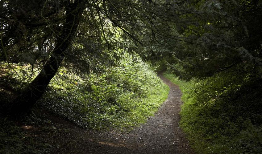
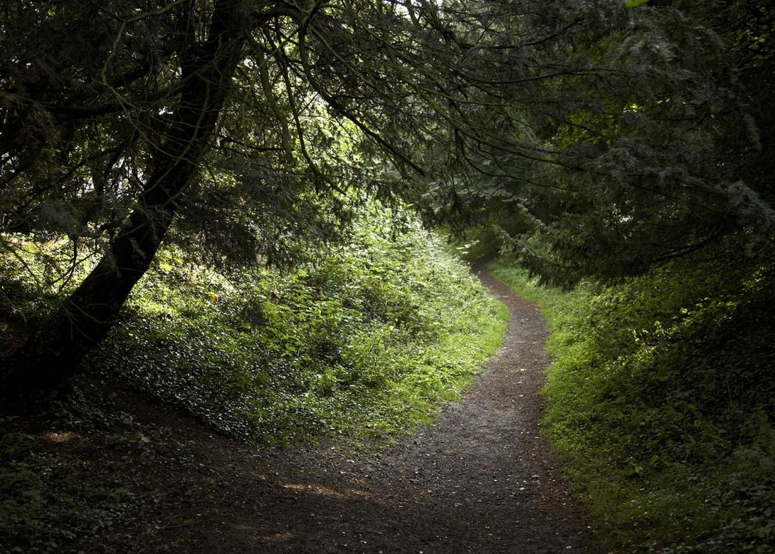
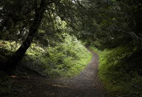
Terrain
- Woodland and field tracks, several stiles
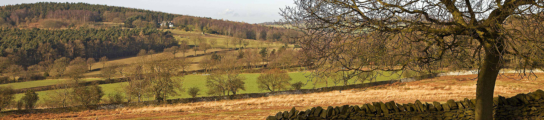
Landscape
- Mixed woodland and landscaped parks
Dog friendliness
- Very good throughout, but careful on roads
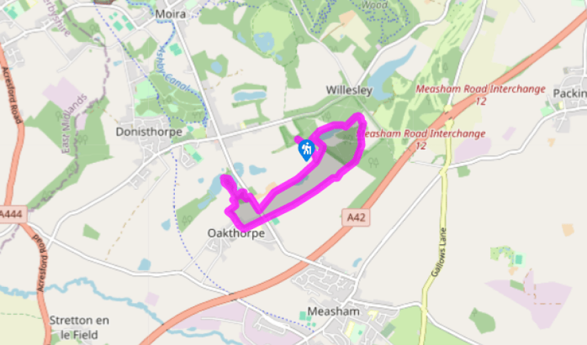
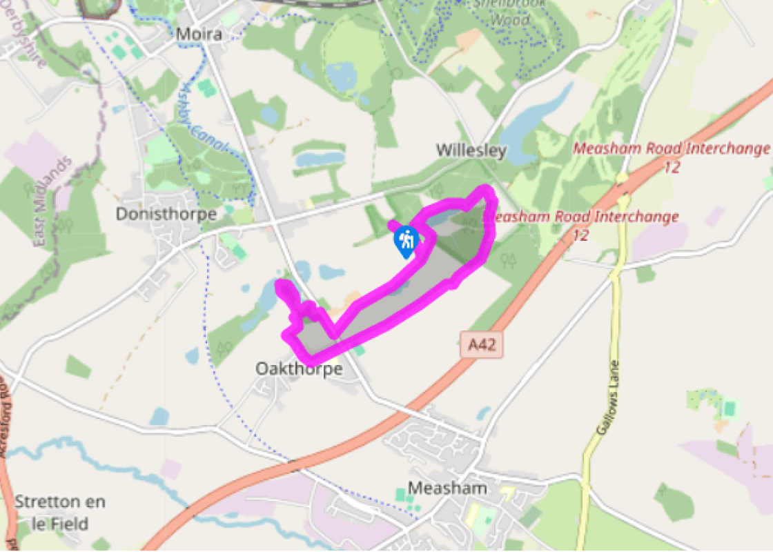
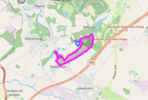
Parking
- Oakthorpe picnic area, Ashby Road, off B586 at Donisthorpe (closes 4pm October–March, 7pm April–September)
Toilets en route
- None on route (nearest in Ashby-de-la-Zouch)
About the walk
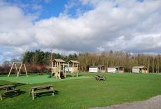
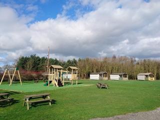
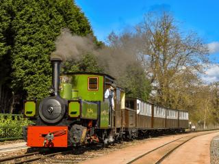
The National Forest covers around 200 square miles (518sq km) of Leicestershire, Staffordshire and Derbyshire, and since its inception in the early 1990s more than 8 million of the projected 15 million new trees have been planted. Of course this is a long-term project, so don’t expect a continuous... swathe of woodland across the East Midlands. The ambitious plan aims to blend pockets of ancient woodland, such as Charnwood and Needwood, with new broadleaved and coniferous plantations. Many of the new sites in northwest Leicestershire, like here at Willesley and Saltersford, are former coal mines that were abandoned after flooding, but the ensuing subsidence has since created artificial lakes or ‘flashes’, and large-scale reclamation projects have helped nature recolonise these former industrial zones. From coal to conifers Willesley Wood is centred on what was once Oakthorpe Colliery and is now owned by the Woodland Trust. It was where the very first tree of the new National Forest was planted, in 1991, since when more than 75,000 trees and shrubs have been introduced, mainly oak and ash, but also faster-growing trees like silver birch, cherry and willow. The native black poplar can be found here as well, and on the fringes of the woods you can find guelder rose, holly and field maple. The wetland areas that have been developed around and among the woods are also a valuable habitat, home to a range of birds and amphibians, while the shallow main lake has been stocked with carp, tench and pike. It’s hard to imagine that this now green and leafy site was once a busy colliery, but in fact this has long been an industrial area. Coal was dug here as early as the 1400s when yeomen farmers made their living from a mix of agriculture and mining. The Leicestershire coal measures were active for many centuries, and although the deep mine at Oakthorpe Colliery closed in 1885, some opencast workings continued until as late as 1990. A trail through the forest Just to the west of Oakthorpe the trackbed of the Ashby and Nuneaton Joint Railway has been transformed into the Ashby Woulds Heritage Trail. This runs north via the former Donisthorpe Colliery (now converted into a woodland park) and the preserved Moira Furnace, built in 1806 for iron-making and now a fascinating visitor attraction. It ends close to the Conkers Discovery Centre, near Moira (follow the signs on the trail or road), which is where you can learn much more about the National Forest. The huge site includes interactive exhibits, craft workshops, outdoor woodland trails and assault courses. If your children still have surplus energy left after the walk, let them go bonkers at Conkers!
Read more