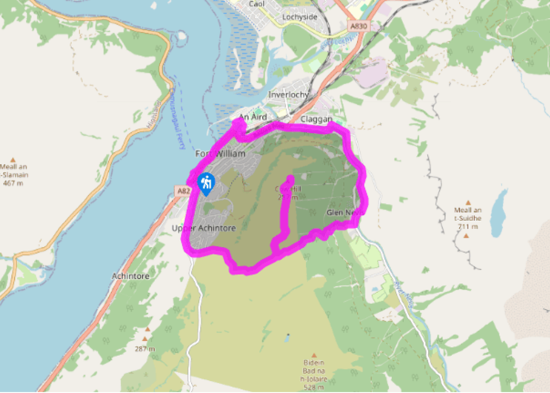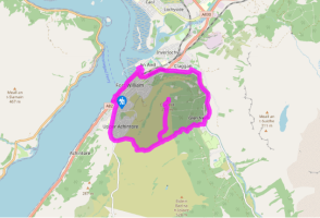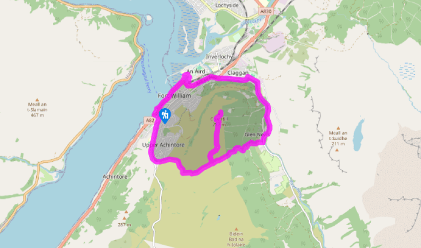
The peat road to Cow Hill
Recommended by

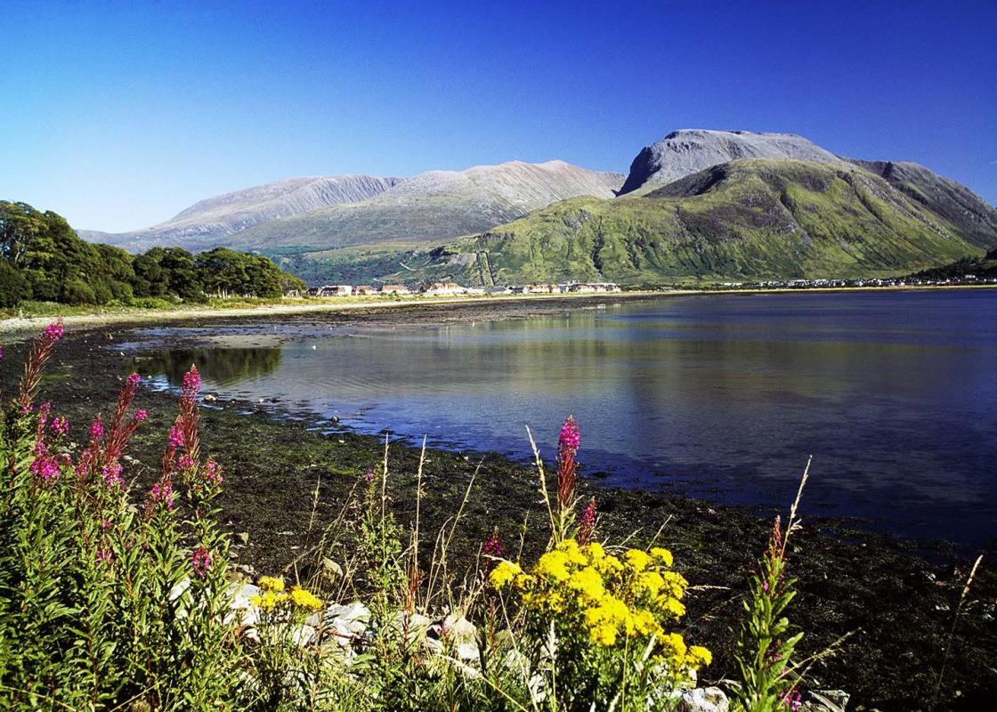
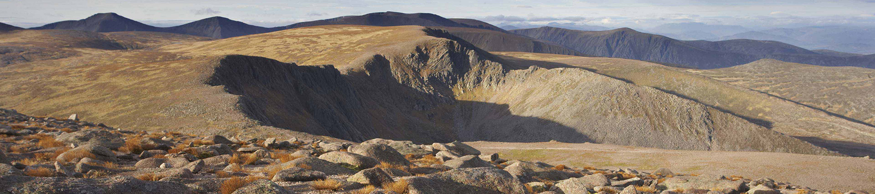
"Looking down at Fort William and up at Ben Nevis."
Walk directions
From the far corner of the car park, cross the A82 and go up to the right of Alexander Ross House to join a tarred path under trees. This leads up to Lundavra Road. Turn uphill to the top of the town and across a cattle grid with a kissing gate alongside to a gate on the left signed ‘Keep Clear 24hr Access’.
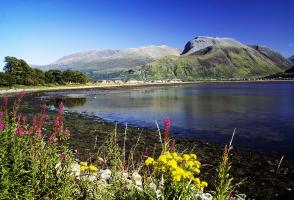
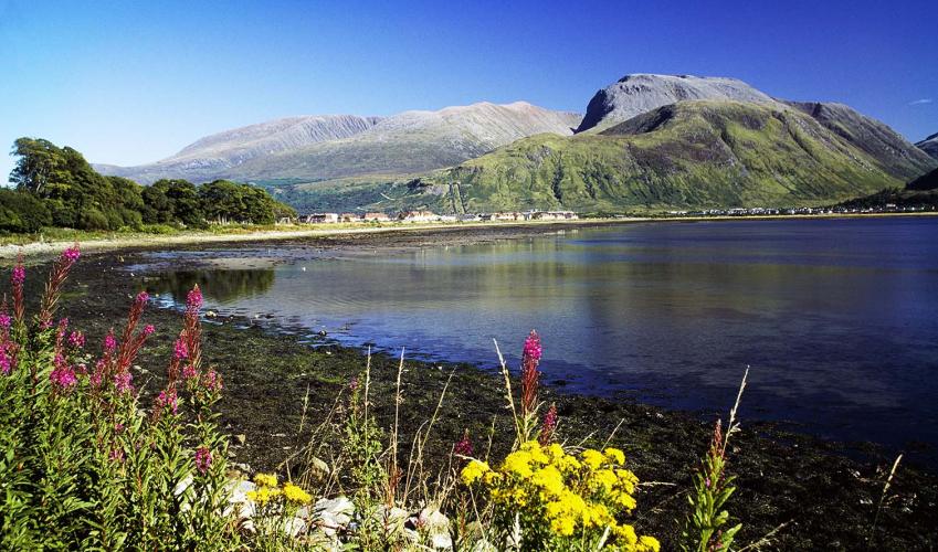
This is the Peat Road, formed by sledges bringing peat for fuel off the hill. It rises over the moor to bend left past a path on the right signed for Glen Nevis. But for now, continue ahead along the smooth track to the radio mast on Cow Hill, turning up left for the summit with views down on to Fort William and along lochs Linnhe and Eil. Keep ahead down rough heather to rejoin the track you came on, and return along it to the side path for Glen Nevis.
View all directions
Additional information
Terrain
- Tracks and paths, mostly wide and well built
Landscape
- Moorland hill, riverside and town
Dog friendliness
- Keep on lead through town; be aware of semi-wild cattle around Cow Hill summit
Parking
- Large pay-and-display car park at south end of Fort William
Toilets en route
- Glen Nevis Centre and town centre
About the walk
Fort William in Gaelic is An Gearasdan, the Garrison. Strategically placed where the Great Glen meets the sea, it has been a strongpoint since the Inverlochy Castle was built by Clan Cameron around 1270. Fought-over fort Around 1690 the Old Fort was built with 20-foot (6m) stone walls. It was...
Read more

Been on this walk?
Send us photos or a comment about this route. Or recommend a route of your own.

Walking in Safety
Read our tips to look after yourself and the environment when following this walk.

Get an AA guide
Explore our range of ‘50 Walks in’ guides - they’re the ideal companion for a ramble.
Been on this walk?
Send us photos or a comment about this route. Or recommend a route of your own.
Walking in Safety
Read our tips to look after yourself and the environment when following this walk.
Get an AA guide
Explore our range of ‘50 Walks in’ guides - they’re the ideal companion for a ramble.
About the area
Apart from the Orkneys and the Shetlands, Highland is Scotland’s northernmost county. Probably its most famous feature is the mysterious and evocative Loch Ness, allegedly home to an ancient monster that has embedded itself in the world’s modern mythology, and the region’s tourist industry.
Nearby places to stay
View all (8)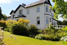


Nearby places to stay
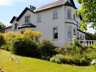
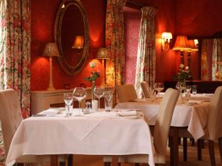
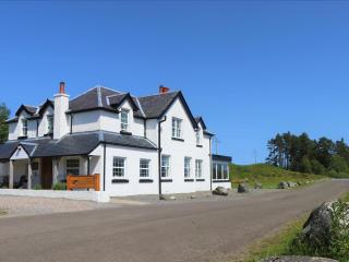
Crolinnhe Guest House
Crolinnhe Guest House is situated in an elevated position overlooking Loch Linnhe, near the centre of Fort William, in the heart of the Highlands of Scotland. An expertly restored Victo...
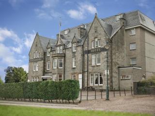
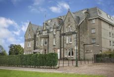
Alexandra Hotel
The Alexandra Hotel enjoys a prominent position in the town centre and is just a short walk from all the major attractions. Front-facing bedrooms have views over the town and the specta...
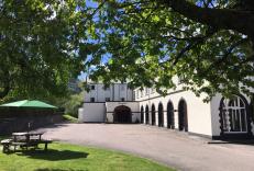
Ben Nevis Hotel & Leisure Club
The Ben Nevis Hotel and Leisure Club is a popular hotel set on the outskirts of town. It provides comfortable, well-equipped bedrooms, many with views of the impressive Nevis mountains....
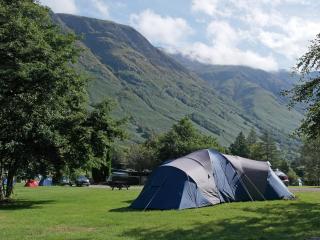
Glen Nevis Caravan & Camping Park
This is a large and very well maintained park, situated in Glen Nevis with easy access to the main footpath leading to Ben Nevis. Located a few miles from Fort William, the park is near...
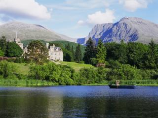
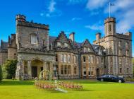
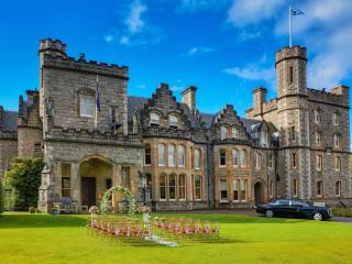
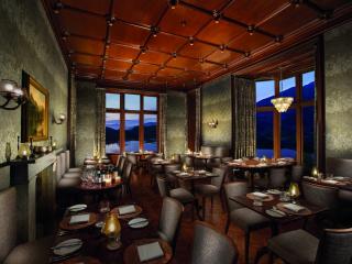
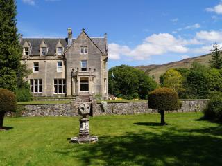
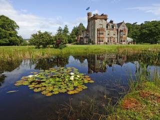
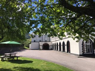
Inverlochy Castle Hotel
With Ben Nevis as its backdrop, Inverlochy Castle sits amidst extensive gardens and grounds overlooking its own loch. Lavishly appointed in classic country-house style, spacious bedroom...
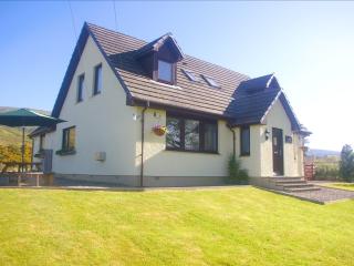
Ardarroch Cottage B&B
Ardarroch Cottage is a small, friendly, two-roomed Bed & Breakfast offering an exceptional standard of accommodation and service for adults only. Situated 10 miles from Fort William and...
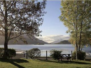
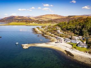
Invercoe Caravan & Camping Park
A level grass site set on the shore of Loch Leven, with excellent mountain views. The area is ideal for both walking and climbing, and also offers a choice of several freshwater and sal...
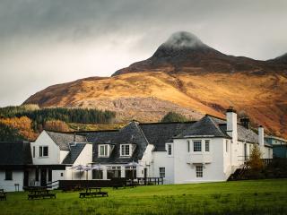
The Glencoe Inn
This welcoming inn has a stunning location in the shadow of the Pap of Glencoe overlooking Loch Leven. The Glencoe Inn is all about traditional Scottish hospitality, complemented by the...
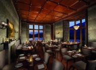
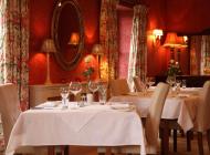
Places to eat nearby View all