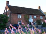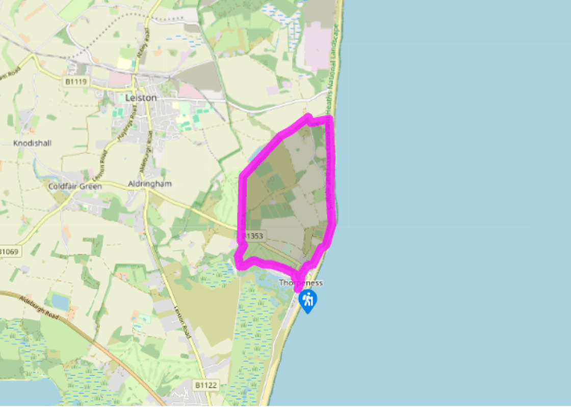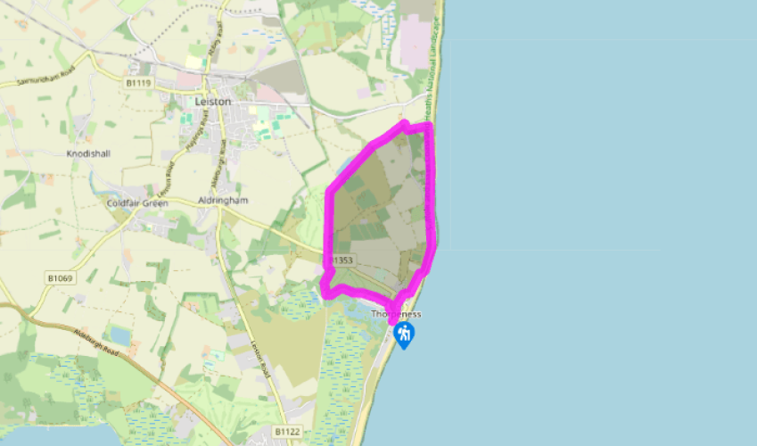
Thorpeness and The Meare
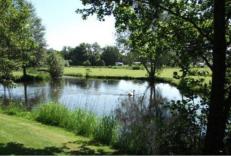
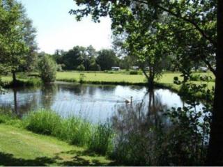
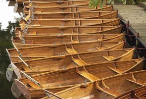
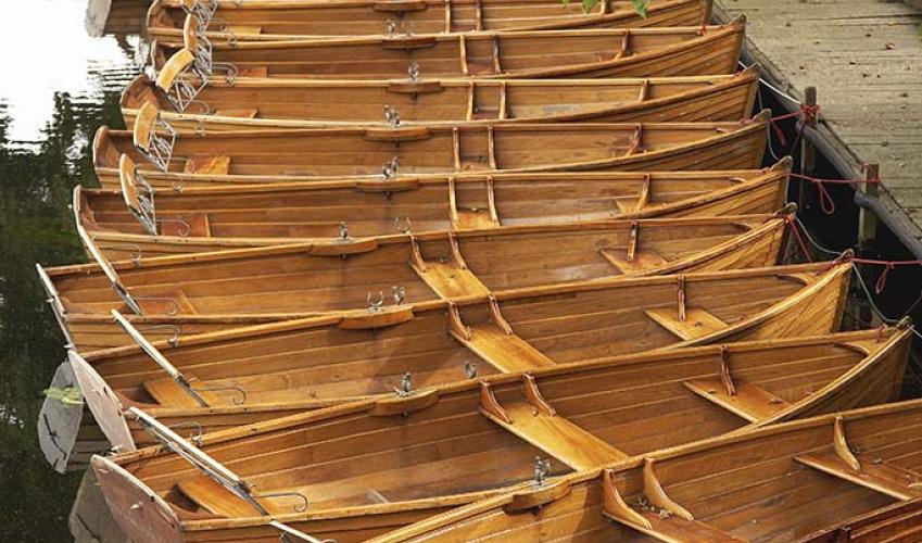
From the car park, cross the road and turn right. On your left is the Meare Shop and Tea Room and the lake where you can hire a rowing boat in summer. Turn left alongside The Meare and take the second left, Uplands Road. Stay on this track as it climbs past a windmill on the left and the House in the Clouds to the right. At a golf course, keep straight ahead between hedgerows and follow this path across the course, keeping the waterways of The Meare to your left.
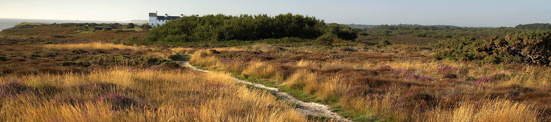
Turn right just before Mere Cottage and stay on this path to a maintenance area, where you turn left on a gravel track to meet the main road. Cross the road and keep straight ahead, following the line of a disused railway. When the main track bends right, keep straight ahead, following a Sandlings Walk waymark, and go through a gate to enter a conservation area (Aldringham Walks) on a narrow path climbing through the bracken.

Been on this walk?
Send us photos or a comment about this route. Or recommend a route of your own.

Walking in Safety
Read our tips to look after yourself and the environment when following this walk.

Get an AA guide
Explore our range of ‘50 Walks in’ guides - they’re the ideal companion for a ramble.
Been on this walk?
Send us photos or a comment about this route. Or recommend a route of your own.
Walking in Safety
Read our tips to look after yourself and the environment when following this walk.
Get an AA guide
Explore our range of ‘50 Walks in’ guides - they’re the ideal companion for a ramble.
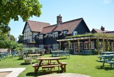
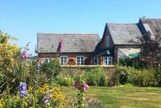
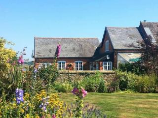
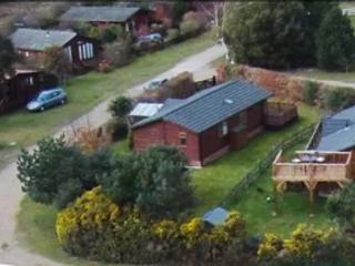
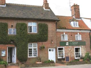
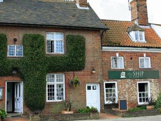
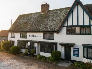
Nearby places to stay
View all (8)