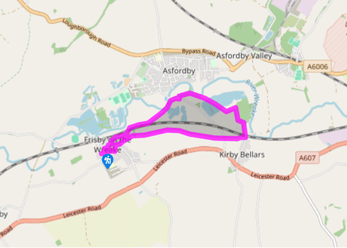

Villages of the Wreake
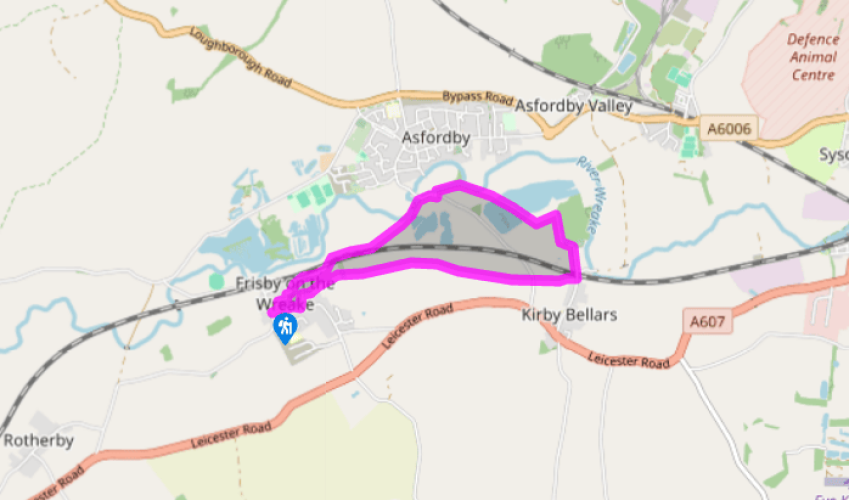
Walk eastwards along Frisby's Main Street, past the post office, and turn left into Mill Lane. After 50yds (46m) turn right between houses on a public footpath (denoted by a fingerpost bearing a footprint). Walk out across an open field, dropping slightly downhill, then go through a gate and ahead through the second field.
Ignore the turning down to the railway (left), but instead continue across further wide fields, with Ash Tree Farm away to your right. Despite the lack of a well-walked path the route is clearly indicated by a succession of yellow-topped signposts, until you arrive finally at a road.

Been on this walk?
Send us photos or a comment about this route. Or recommend a route of your own.

Walking in Safety
Read our tips to look after yourself and the environment when following this walk.

Get an AA guide
Explore our range of ‘50 Walks in’ guides - they’re the ideal companion for a ramble.
Been on this walk?
Send us photos or a comment about this route. Or recommend a route of your own.
Walking in Safety
Read our tips to look after yourself and the environment when following this walk.
Get an AA guide
Explore our range of ‘50 Walks in’ guides - they’re the ideal companion for a ramble.
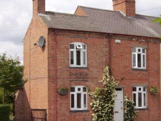
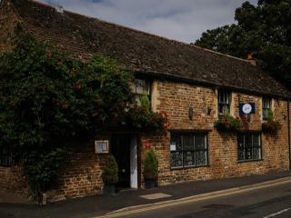
Nearby places to stay
View all (8)