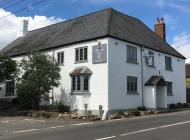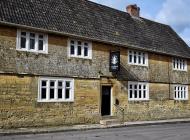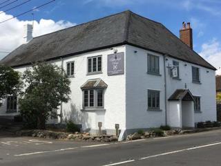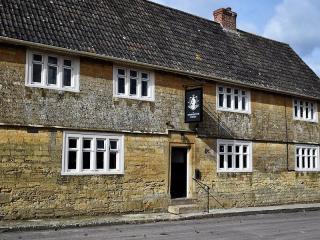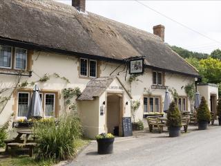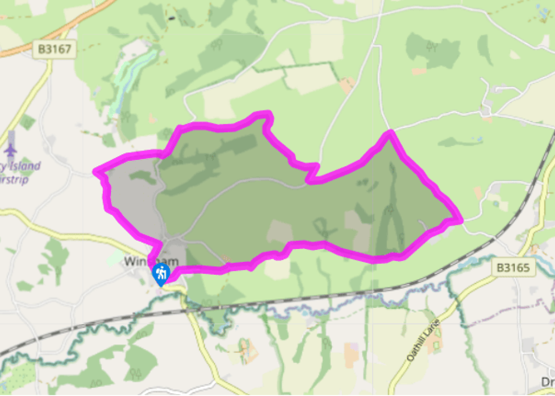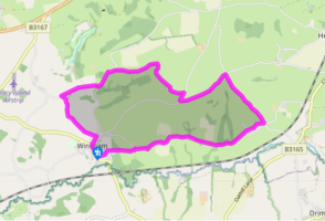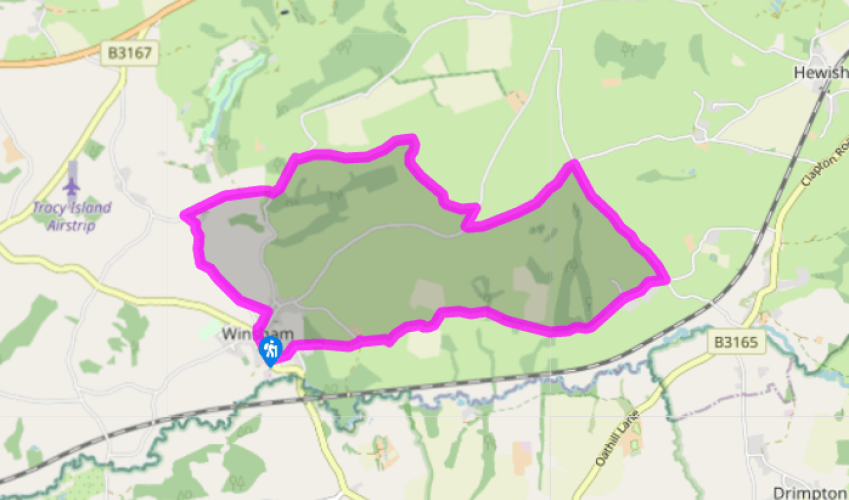
Winsham and Wayford
At the foot of Winsham’s main street turn left into Court Street, and at its end keep straight ahead, with footpath signs to Wayford. The path becomes a track. Where this is crossed by another track, keep ahead into a field, to pass to the right of Broadenham Farm, with its handsome Hamstone porch. Follow way-markers to the left of the farm buildings to a tarmaced farm lane. Turn right and follow this down and up hill to Hey Farm. The lane leads round to the right of the buildings and then bends downhill to the right. Follow it though Ashcombe Farm – the track between the buildings is a permitted path. In another 0.5 miles (800m) you reach the parking area at the foot of Wayford Wood.
Cross the car-park to go through the gate into the wood, taking the main path up through the trees. At the top of the wood, paths bend right. With the wood edge just above, turn down to the right and descend steps back onto the farm lane, to emerge 350yds (200m) along from the car park. Turn left for 0.25 miles (400m) into Wayford.

Been on this walk?
Send us photos or a comment about this route. Or recommend a route of your own.

Walking in Safety
Read our tips to look after yourself and the environment when following this walk.

Get an AA guide
Explore our range of ‘50 Walks in’ guides - they’re the ideal companion for a ramble.
Been on this walk?
Send us photos or a comment about this route. Or recommend a route of your own.
Walking in Safety
Read our tips to look after yourself and the environment when following this walk.
Get an AA guide
Explore our range of ‘50 Walks in’ guides - they’re the ideal companion for a ramble.

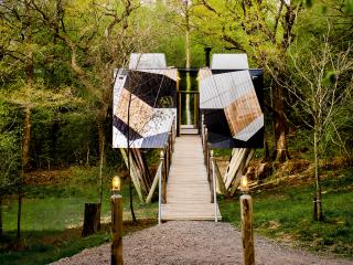
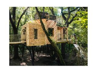
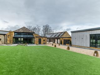
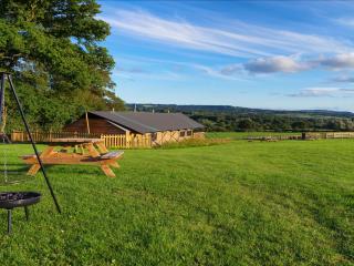
Nearby places to stay
View all (8)