Additional information
Terrain
- Well-marked field and woodland paths across some steep, rough terrain (19 stiles)
Landscape
- Wooded river valleys and upland pasture
Dog friendliness
- Dogs need to be kept under close control near fast-flowing rivers and fields with sheep
Parking
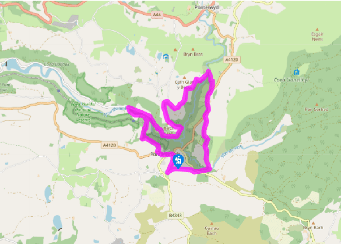
- Free car park opposite the terminus for the Vale of Rheidol Railway
Toilets en route
- At the car park in Devil’s Bridge (open Easter to end of September)
About the walk
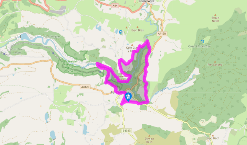
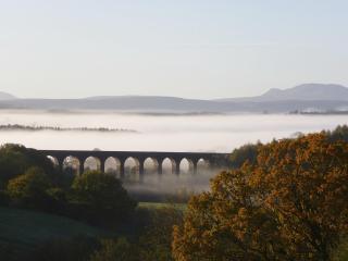
The immediate neighbourhood of Devil’s Bridge contains some of the most spectacular scenery in mid Wales. The village itself is bisected by the Mynach river, a tributary of the Rheidol, which plunges some 300ft (90m) down five great rocky steps into the Rheidol Valley. Crossing the river’s deep,... narrow ravine are three bridges (c. 1188, 1753, 1901), unusually built one on top of the other. According to local legend, the oldest of the bridges was built by the Devil himself, though it is more likely to have been built by the monks of Strata Florida. The name of the village in Welsh, Pontarfynach, translates as ‘Bridge on [the] Monk’. Below Devil’s Bridge, the land falls steeply away into Cwm Rheidol. The valley slopes are clothed in ancient oak woodland and are a designated national nature reserve (Coed Rheidol). The moist, shady conditions provide an ideal environment for mosses, liverworts and lichens, which carpet the steep rocky slopes near the bottom of the gorge. These in turn support a varied ecosystem, with nearly 80 species of birds having been recorded in the woodland. Breeding birds include the redstart, the wood warbler and the pied flycatcher. Otters are known to live in the river, but you’ll be lucky to spot one. Between Ponterwyd and Devil’s Bridge, the Rheidol is squeezed through a narrow, rocky ravine culminating in the Gyfarllwyd Falls, ‘a valley within a valley’ formed as a result of headward erosion during the last ice age. Unfortunately, the deep gorge is almost entirely inaccessible to walkers, though the crossing of Parson’s Bridge near Ysbyty Cynfyn provides a brief but memorable glimpse of this extraordinary landscape. Lead mining in the valley was an important industry up until the end of the 19th century, and it has left a legacy of serious environmental problems in the Rheidol river. These include elevated levels of zinc, lead, copper, cadmium and other metals, as well as high levels of acidity. Artificial wetlands have been created downstream from Devil’s Bridge to act as a biofilter, removing pollutants and contaminated sediments from the water. Winding across the wooded slopes between Aberystwyth and Devil’s Bridge is the Vale of Rheidol Railway. This narrow-gauge steam line was opened in 1902, principally to serve the logging and mining industries in the valley. To save money, rock was hand-hewn out of the steep valley slopes rather than blasted. By the time the railway opened, however, the lead-mining industry was in a steep decline, and tourism rapidly became a more important source of income for the railway. The line continues to offer a regular service between May and the end of October each year.
Read more