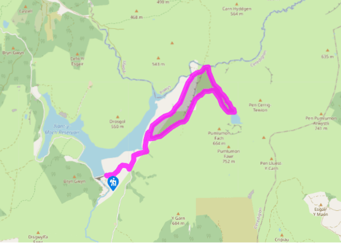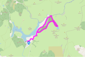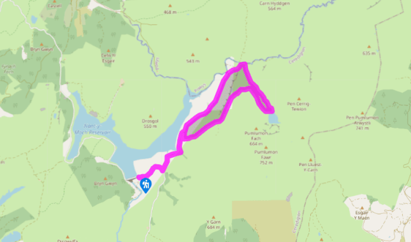
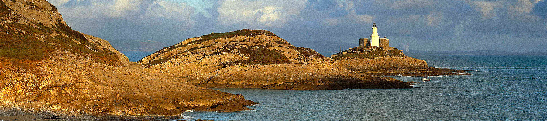
Remote Pumlumon's corrie lake
Recommended by

Walk directions
From the parking area by Nant-y-moch Reservoir, walk up the road away from the dam, after passing the through two gates, take the left-hand turn. The road descends to cross the streams of Nant Maesnant-fach and Nant-y-moch before traversing rough moorland along the east shores of Nant-y-moch Reservoir. The reservoir, stocked with native brown trout, is popular with anglers during the season.
Beneath the quarried rocks of Bryn y Beddau, a rubble track on the righthand side of the road, just after a cattle grid, doubles back up the hillside then swings round to the left. The steep sides of Pumlumon now soar away to the skyline on your right, with the little stream of Maesnant tumbling down them. Follow the track which climbs further, then levels out to pass some shallow lakes, which lie above the rocks of Fainc Ddu Uchaf. Now high above the bare valleys of the Hyddgen and Hengwm, the track swings south beneath crags of Pumlumon Fach to arrive at Llyn Llygad Rheidol’s dam.
View all directions
Additional information
Terrain
- Good track up, sketchy return path
Landscape
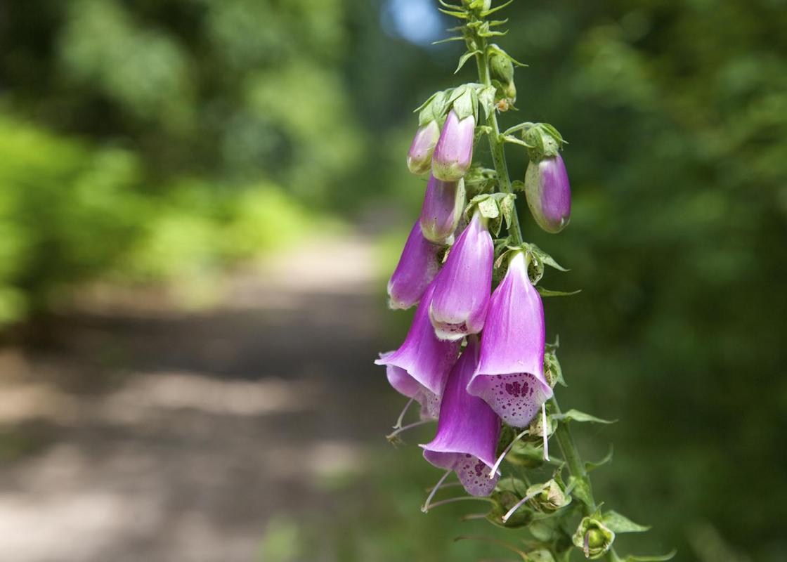
- Wild moorland
Dog friendliness
- Dogs must be on leads when livestock are in fields
Parking
- Large free car parking area next to Nant-y-moch dam
Toilets en route
- None on route
About the walk
The phrase ‘sodden weariness’ has often been quoted by writers trying to describe Pumlumon and its environs. The description is unfair and used only by those who do not know the area very well. There are secrets to enjoying Pumlumon. Approach it from the north and you see the best of its crags and...
Read more

Been on this walk?
Send us photos or a comment about this route. Or recommend a route of your own.

Walking in Safety
Read our tips to look after yourself and the environment when following this walk.

Get an AA guide
Explore our range of ‘50 Walks in’ guides - they’re the ideal companion for a ramble.
Been on this walk?
Send us photos or a comment about this route. Or recommend a route of your own.
Walking in Safety
Read our tips to look after yourself and the environment when following this walk.
Get an AA guide
Explore our range of ‘50 Walks in’ guides - they’re the ideal companion for a ramble.
About the area
The name ‘Ceredigion’ takes a bit of explanation. The town of Cardigan gives its name to the surrounding bay, but the county now uses the Welsh word for Cardiganshire – Ceredigion, pronounced with a ‘dig’.
Nearby places to stay
View all (8)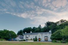


Nearby places to stay
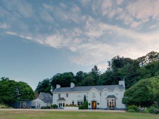
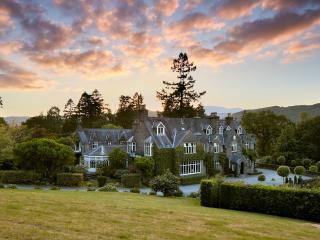
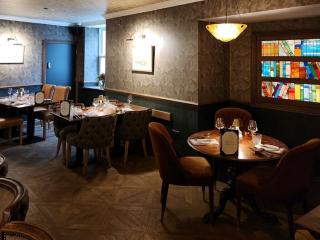
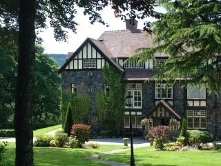
Ynyshir Restaurant and Rooms
Set in beautifully landscaped grounds and surrounded by the RSPB Ynys-hir Nature Reserve, Ynyshir was once owned by Queen Victoria and is surrounded by mountain scenery. Here the bucoli...
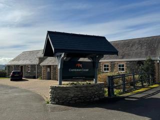
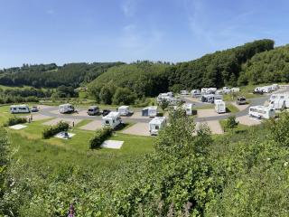
Cambrian Coast Caravan Park & Cottages
Nestled between the sweeping sands of Ynyslas Beach and the rolling Cambrian Mountains, Cambrian Coast Caravan Park is a picturesque, family-run escape close to Borth. The park offers a...
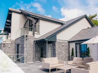
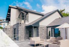
Seascape I & II
Wake up to the waves in luxury Self Catering properties. Seascape I & II at Trefeddian provide two luxury self catering properties built in the hotel grounds. These fantastic properties...
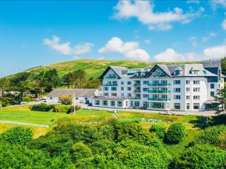
Trefeddian Hotel
Perfectly summed up by the quote from the hotel literature as being "where the mountains meet the the sea", Treffedian Hotel – AA Hotel of the Year, Wales 2018–19 – is in a beautiful co...
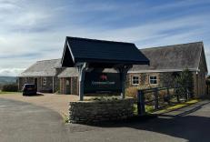
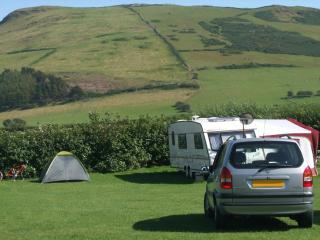
Red Kite Touring and Lodge Park
Within 15 minutes' walk of the historic town centre, this stunningly located park has been created on undulating hills and fields, which include two lakes, one being a habitat for newts...
Ynysymaengwyn Caravan Park
A lovely park set in the wooded grounds of a former manor house, with designated nature trails through 13 acres of wildlife-rich woodland, scenic river walks, fishing and a sandy beach ...
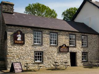
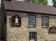
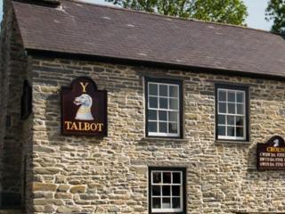
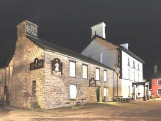
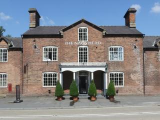
Y Talbot
Located in the heart of this quiet town, Y Talbot provides a range of very high-quality bedrooms and bathrooms with luxury showers; some smaller, standard rooms are also available. Ther...
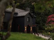
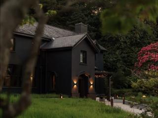
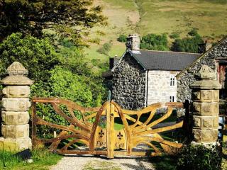
The Firecat Country House
The Firecat Country House is set in the southern part of Snowdonia National Park. The house dates back to the 15th century and offers three luxury en suite bedrooms appointed with perio...
Places to eat nearby View all