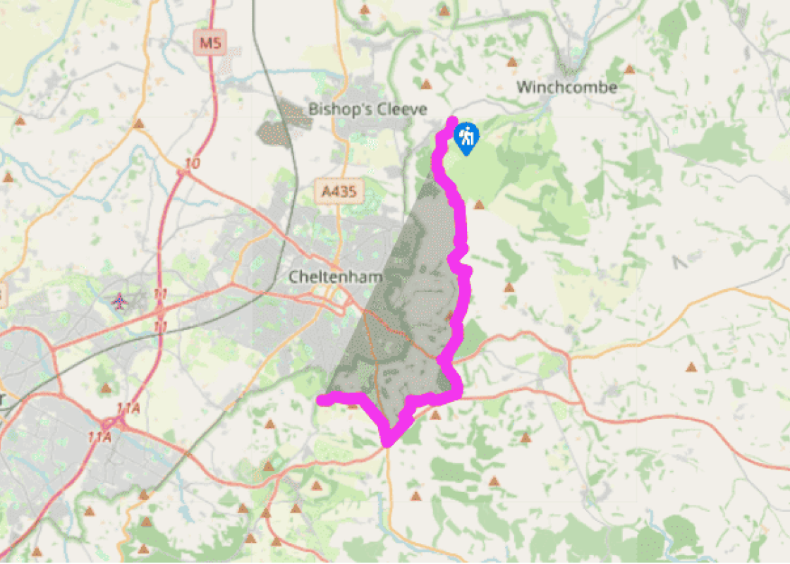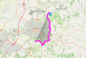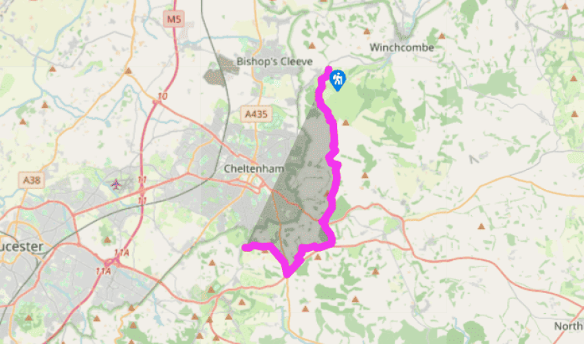
Cotswold Way: Cleeve Hill to Leckhampton Hill
Turning left opposite the golf course clubhouse, the Cotswold Way takes the righthand of two stony pathways and at a second meeting of paths in 219yds (200m), the righthand path. Just beyond a deep circular hole, again take the righthand of two pathways. Now with the clubhouse over your right shoulder, the route turns sharp left by gorse bushes for a steep ascent. As soon as out of the gorse, turn right past a bench. Pass between the trig point and more gorse on left and a golf green on your right. Follow the well-trodden route between golf greens towards the edge of the escarpment and old fort, then along the west side of the ridge with fine views of Cheltenham sprawled on the plain below. Look out for Cleeve Cloud, a large rock formation on the hillside.
Beyond the prominent radio masts, off to your left, the route heads along the hillside, through Prestbury Hill Reserve, joining a lane and then heading across fields towards Upper Colgate Farm, close by the overhead power lines which sing oddly as the path passes under them. A path leads downhill by the side of Dowdeswell Wood, which has a pleasant mixture of trees being grown for commercial purposes. At the bottom of the hill the path leads out by the side of Victorian Dowdeswell Reservoir.

Been on this walk?
Send us photos or a comment about this route. Or recommend a route of your own.

Walking in Safety
Read our tips to look after yourself and the environment when following this walk.

Get an AA guide
Explore our range of ‘50 Walks in’ guides - they’re the ideal companion for a ramble.
Been on this walk?
Send us photos or a comment about this route. Or recommend a route of your own.
Walking in Safety
Read our tips to look after yourself and the environment when following this walk.
Get an AA guide
Explore our range of ‘50 Walks in’ guides - they’re the ideal companion for a ramble.
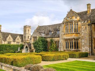
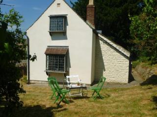
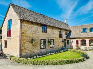
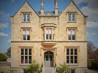
Nearby places to stay
View all (8)