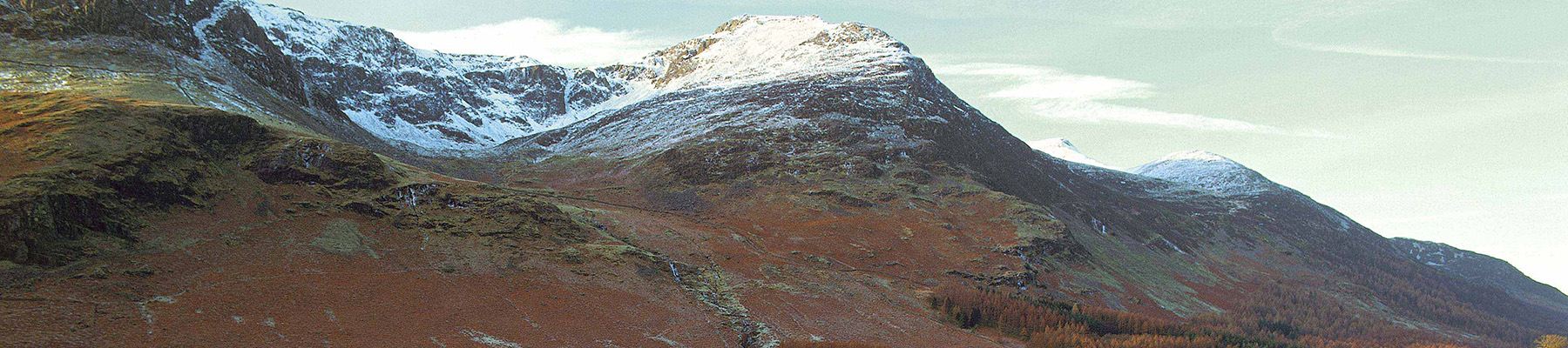
Ancient oaks of Ard Crags
Recommended by

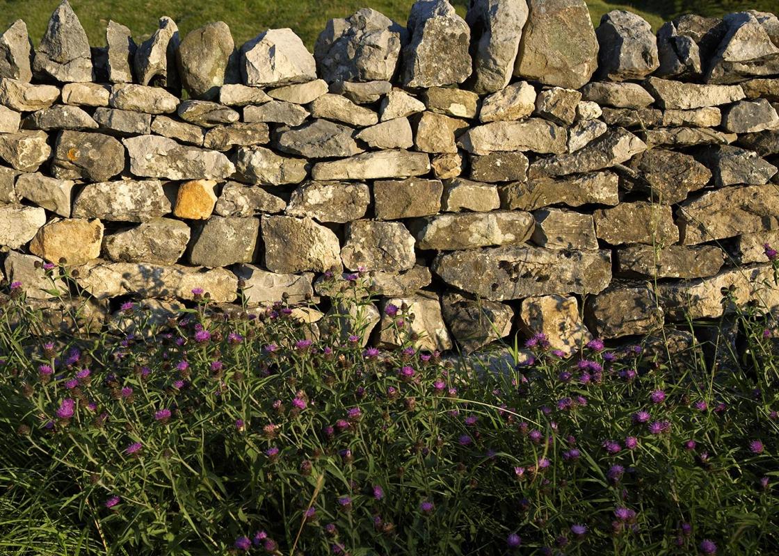
"Try and imagine the Lakeland fells as they were before people arrived."
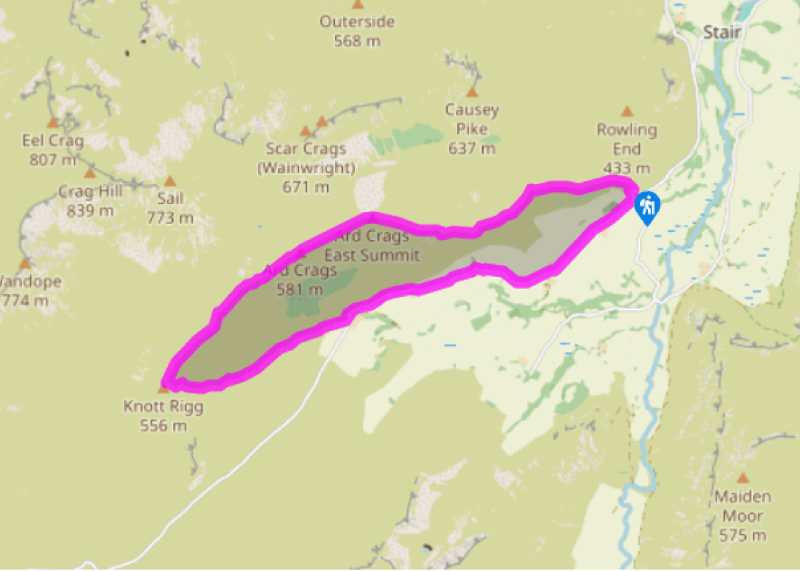
Walk directions
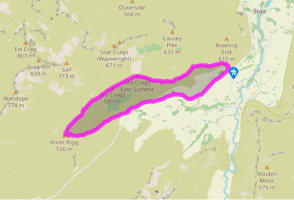
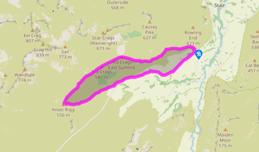
Leave the quarry car park at Rigg Beck and turn right along the road, rising gently past farms and fields. Pass Birkrigg Farm and Newlands Fell, Gillbrow Farm and Bawd Hall. The road descends gently across a more rugged fellside and reaches a sharply pronounced bend crossing the beck of Ill Gill. A steep slope covered in ancient sessile oaks rises to your right. Continue on the road for 350yds (320m) beyond Keskadale Farm.
Just after the fence up to the right ends, you’ll see a tiny layby on the right. A faint trail heads sharp right from here – almost back on yourself – back towards the fence. You could now climb beside the fence to find the path on to the ridge, but it’s easier to use the zig-zagging route that heads left from the fence corner before switching back to the right, after 100yds (91m), to return to the fence. Head uphill beside the fence for 250yds (229m), the sunken trail obscured by bracken in the summer. You’ll then see a gap in the bracken on the left. This marks the start of the path on to the ridge.
View all directions
Additional information
Terrain
- Road, narrow fell paths, some indistinct
Landscape
- Heathery ridge flanked by steep slopes
Dog friendliness
- On lead on road and on fell
Parking
- Small car park in old roadside quarry at Rigg Beck
Toilets en route
- None on route
About the walk
On this walk you can enjoy views of craggy fells and fine ridges. The landscape is very open, with gentle fields giving way to steeper slopes covered in bracken and heather. It’s tempting to believe that the Lake District was always like this – bare, barren and wild. In fact, the natural state of...
Read more

Been on this walk?
Send us photos or a comment about this route. Or recommend a route of your own.

Walking in Safety
Read our tips to look after yourself and the environment when following this walk.

Get an AA guide
Explore our range of ‘50 Walks in’ guides - they’re the ideal companion for a ramble.
Been on this walk?
Send us photos or a comment about this route. Or recommend a route of your own.
Walking in Safety
Read our tips to look after yourself and the environment when following this walk.
Get an AA guide
Explore our range of ‘50 Walks in’ guides - they’re the ideal companion for a ramble.
About the area
Cumbria's rugged yet beautiful landscape is best known for the Lake District National Park that sits within its boundaries. It’s famous for Lake Windermere, England’s largest lake, and Derwent Water, ‘Queen of the English Lakes', but other lesser-known areas in the south, such as the Lune Valley and the coastal towns, are secret gems of wide cobbled streets and rolling hills.
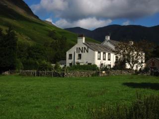
Nearby places to stay
View all (8)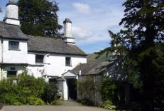


Nearby places to stay
Brandlehowe
On the edge of Derwentwater and with woodland and the Catbells right behind, Brandelhowe is a lovely four-bedroom property in a wonderful setting for a Lakeland holiday, with plenty of ...
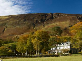
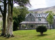
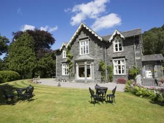
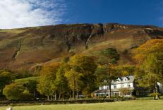
Borrowdale Gates Hotel
Close to the village, Borrowdale Gates Hotel is in the peaceful Borrowdale Valley, in its own three-acre wooded grounds. Great for access to some of the Lakes best hiking, cycling and o...
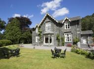
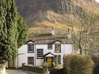
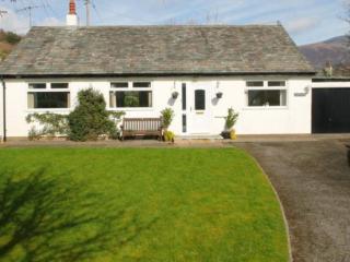
Rose Bank Cottage
A pretty lakeland cottage with superb fell views and a little running beck at the bottom of the large private garden. The setting provided by Rose Bank Cottage is idyllic for a relaxing...
Rose Bank Cottage
A pretty lakeland cottage with superb fell views and a little running beck at the bottom of the large private garden. The setting provided by Rose Bank Cottage is idyllic for a relaxing...
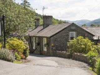
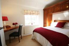
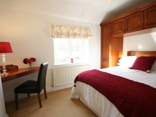
Causey View
Having recently undergone comprehensive refurbishment, Causey View is a spacious and bright bungalow situated in the heart of the picturesque village of Braithwaite. With magnificent wa...
Causey View
Having recently undergone comprehensive refurbishment, Causey View is a spacious and bright bungalow situated in the heart of the picturesque village of Braithwaite. With magnificent wa...
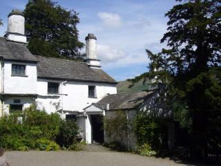
Mill House
Awaiting description....
Glen Cottage
Awaiting description....
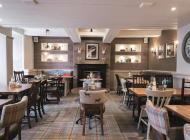
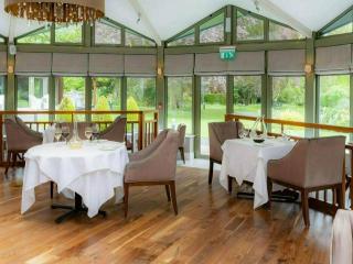
Places to eat nearby View all