Exploring Upper Kentmere
Recommended by

"Once ravaged by Scottish reivers, this lovely remote valley now basks in enviable tranquility."
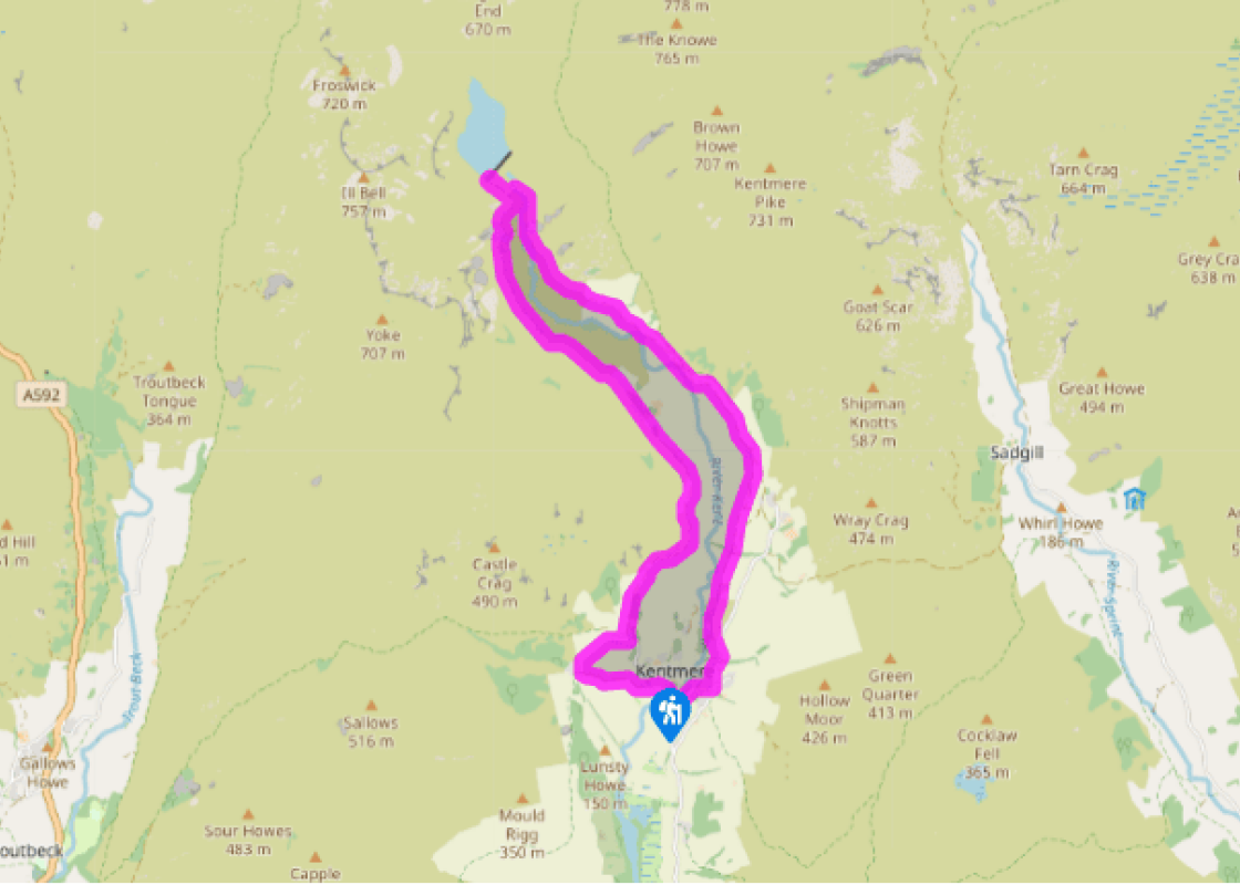
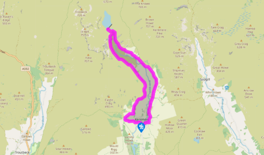
Walk directions
Begin on a bridleway, marked ‘Kentmere Hall’, opposite St Cuthbert’s Church. Enter the farmyard, bear right before concrete cattle pens, then right through a side gate. A footpath signpost directs you up the field. Bear right at the top to a gate. Go through a gap by a barn and join a track leading past Nook House.
Ignore the turn-off to Garburn and, immediately after the next house, Green Head, go left. Following signs to the reservoir, bear right through a gate, and then keep right and descend to join a tarmac track leading up the valley. Descend slightly, rounding a craggy knoll, and follow the tarmac to a fork by the entrance to Hartrigg Farm.
View all directions
Additional information
Terrain
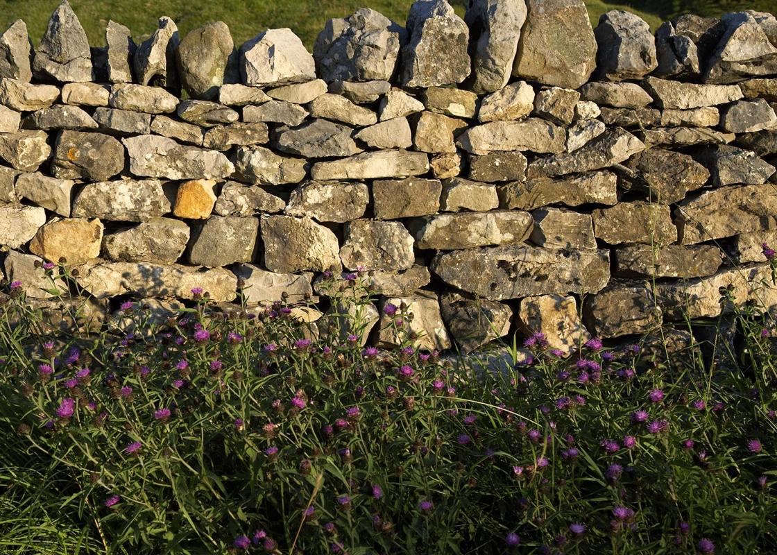
- Generally good tracks and paths, some open fields, several stiles
Landscape
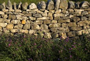
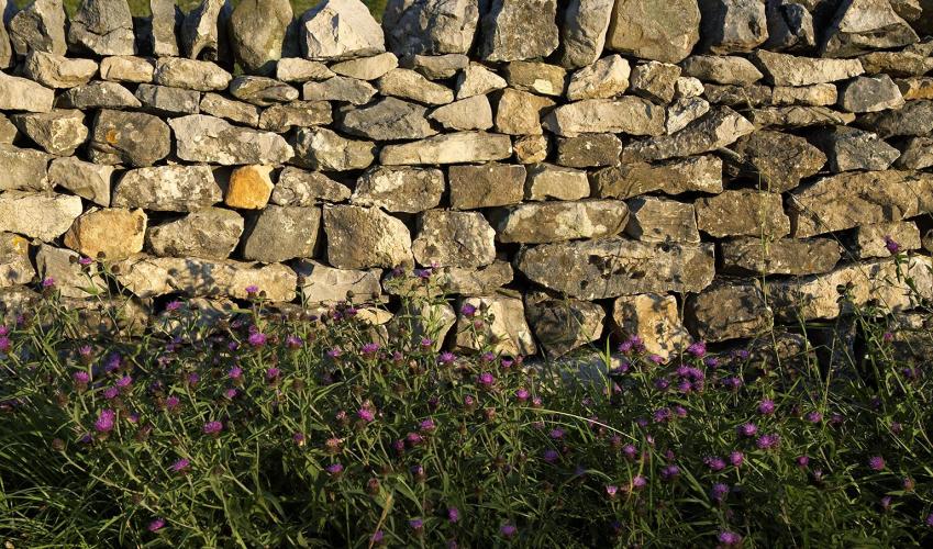
- Glacial valley, flood meadows, quarry workings and reservoir
Dog friendliness
- Farmyards and grazing land, so dogs mostly on lead
Parking
- Very limited in Kentmere, but small field by Low Bridge is occasionally available
Toilets en route
- None on route
About the walk
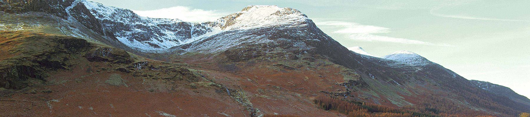
From its source high on the slopes of Mardale Ill Bell, at the heart of Cumbria’s eastern fells, the River Kent begins a journey through Kentmere, one of the country’s loveliest valleys. Deep and narrow, the river follows a gently sinuous course south for some 9 miles (14.5km) before breaking...
Read more

Been on this walk?
Send us photos or a comment about this route. Or recommend a route of your own.

Walking in Safety
Read our tips to look after yourself and the environment when following this walk.

Get an AA guide
Explore our range of ‘50 Walks in’ guides - they’re the ideal companion for a ramble.
Been on this walk?
Send us photos or a comment about this route. Or recommend a route of your own.
Walking in Safety
Read our tips to look after yourself and the environment when following this walk.
Get an AA guide
Explore our range of ‘50 Walks in’ guides - they’re the ideal companion for a ramble.
About the area
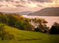
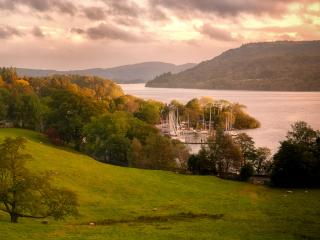
Cumbria's rugged yet beautiful landscape is best known for the Lake District National Park that sits within its boundaries. It’s famous for Lake Windermere, England’s largest lake, and Derwent Water, ‘Queen of the English Lakes', but other lesser-known areas in the south, such as the Lune Valley and the coastal towns, are secret gems of wide cobbled streets and rolling hills.
Nearby places to stay
View all (8)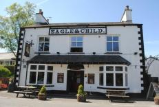

Nearby places to stay
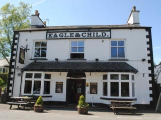
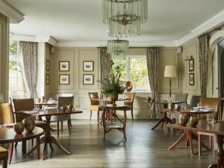
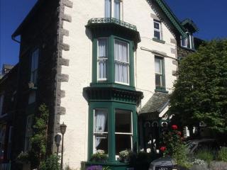
Eagle and Child Inn
With a charming riverside beer garden, the Eagle and Child bed and breakfast inn is a few minutes away from the scenic Kentmere Valley. And it’s not much more to the bustling towns of B...
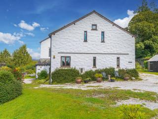
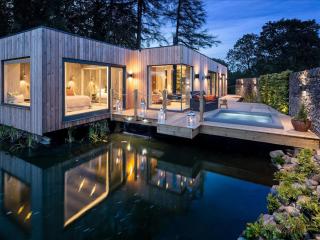
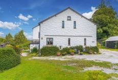
The Stables
Enjoying one of the very best views in the Lakes, this characterful 2 bedroom cottage is both warm and welcoming. Ideal for those looking to explore the wider Lake District or those sim...
The Stables
Enjoying one of the very best views in the Lakes, this characterful 2 bedroom cottage is both warm and welcoming. Ideal for those looking to explore the wider Lake District or those sim...
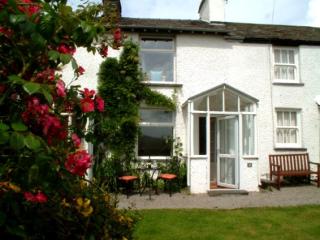
Troutbeck Cottage
Located at Troutbeck Bridge, in the heart of the Lake District, Troutbeck Cottage is a traditional stone-built cottage dating from the mid 19th century. Close to Windermere on the main ...
Troutbeck Cottage
Located at Troutbeck Bridge, in the heart of the Lake District, Troutbeck Cottage is a traditional stone-built cottage dating from the mid 19th century. Close to Windermere on the main ...
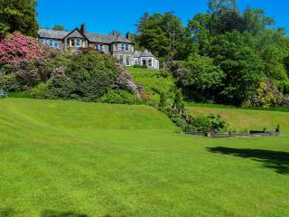
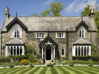
Merewood Country House Hotel
A beautiful country house in the traditional Lakeland mould, Merewood provides a relaxed environment and polished service to match. The bar and lounges overlook Windermere and the Cumbr...
The Haven
Built from Lakeland slate and stone, The Haven is just a 50-metre stroll from the town centre and shops. The bright, spacious bedrooms are individually styled and offer en suite facilit...
Cedar Manor
Built in 1854 as a country retreat, Cedar Manor is a lovely old house that enjoys a peaceful location, tucked away within easy walking distance of the town centre. Bedrooms, some on the...
Places to eat nearby View all