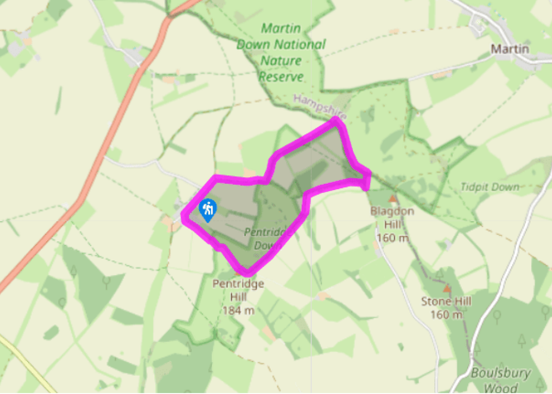

Pentridge Down and Bokerley Dyke
Recommended by

Walk directions
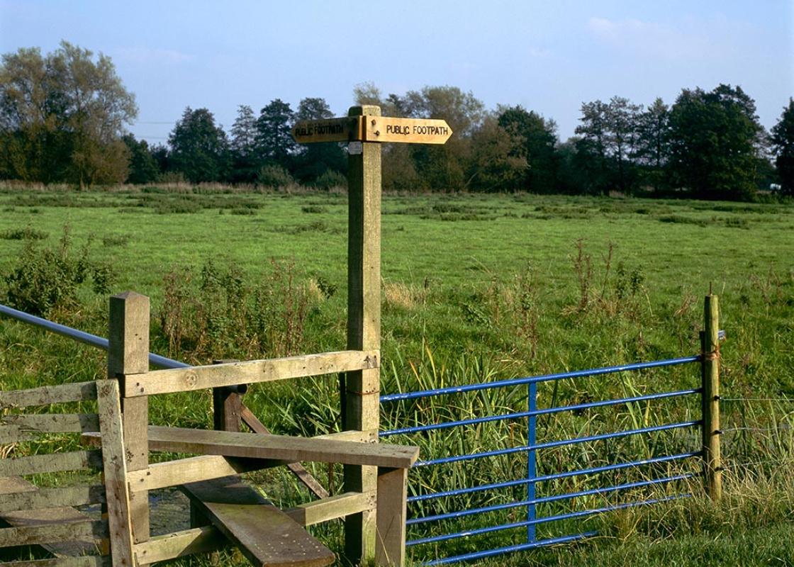
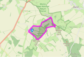
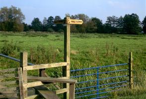
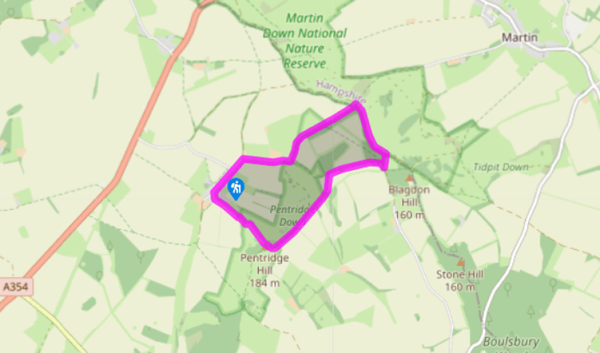
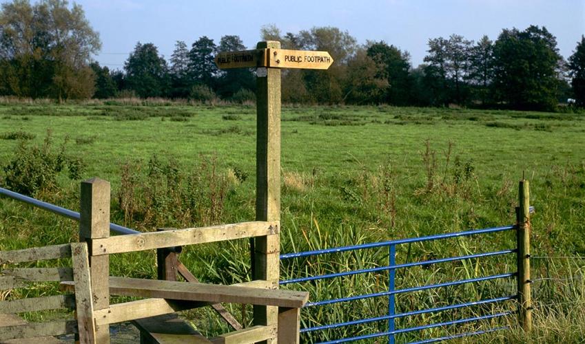
From the lay-by walk past the turning up to the church and cross the stile on the left by the footpath sign. Head up the field to a stile, and cross it to enter a narrow footpath. This leads between hedges up towards the 607ft (185m) Pentridge Hill. Cross another stile into a field and keep straight ahead. As you pause to catch your breath, you can start to admire the view opening around you, with the green curve of Pentridge Down on the left. Keep straight on to the top of the hill (Penbury Knoll), following a tractor track and then peeling off to the right on a vague path to aim for a stile in front of some trees. Head for the left side of this little spinney.
Pass the trig point and continue forward a few paces to a track. Turn left onto the Jubilee Trail footpath, which runs along the ridge of the down beside an ancient hedge line. (There are fabulous views on either side – Pentridge is largely hidden in the trees.) Keep right at two forks to continue along the fence line. After 0.5 miles (800m) the path starts to descend.
View all directions
Additional information
Terrain
- Steep, muddy farmland, grassy sward, farm roads
Landscape
- Chalk downs, open grassland, fields and copse
Dog friendliness
- No problems but control needed past farms and dogs must be on leads through nature reserve
Parking
- Lay-by in Pentridge or start from car park at Martin Down NNR
Toilets en route
- None on route
About the walk
At 607ft (185m) high, Penbury Knoll has made a good lookout over Cranborne Chase since settlers first left their mark on this quiet corner of northeast Dorset some 5,000 years ago. The maps show signs of Celtic field systems (associated with the period around 1000 bc) plotted around the lovely...
Read more

Been on this walk?
Send us photos or a comment about this route. Or recommend a route of your own.

Walking in Safety
Read our tips to look after yourself and the environment when following this walk.

Get an AA guide
Explore our range of ‘50 Walks in’ guides - they’re the ideal companion for a ramble.
Been on this walk?
Send us photos or a comment about this route. Or recommend a route of your own.
Walking in Safety
Read our tips to look after yourself and the environment when following this walk.
Get an AA guide
Explore our range of ‘50 Walks in’ guides - they’re the ideal companion for a ramble.
About the area
Dorset is made up of rugged coastlines, high chalk downlands and a chain of picturesque villages and seaside towns that make up Britain’s Jurassic Coast, a UNESCO World Heritage Site and Area of Outstanding Natural Beauty, noted for its layers of shale and numerous fossils embedded in the rock. Hidden gems of Dorset can be found down winding, country lanes that lead to snug villages hidden from view.
Nearby places to stay
View all (8)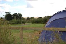
Caravan & Camping
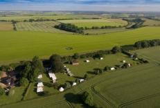
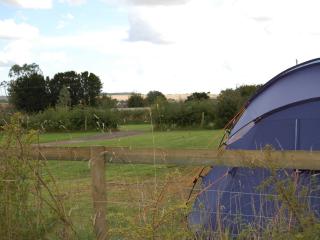
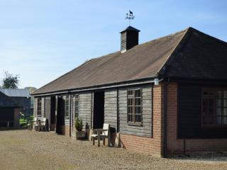
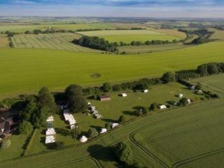
Church Farm Caravan & Camping Park

- Launderette
- Ice pack facility
- Cafe/Restaurant
- Picnic Area


Nearby places to stay
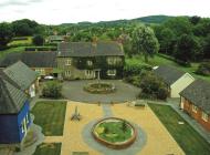
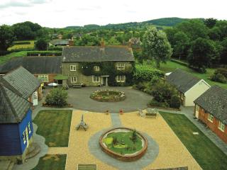
Church Farm Caravan & Camping Park
A spacious park located within the Cranborne Chase Area of Outstanding Natural Beauty which has been awarded Dark Sky status; the site is split into several camping areas, including one...
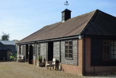
West Farm Lodges
Farm buildings were converted into four attractive and comfortable two-bedroom lodges. Guests will enjoy the peaceful rural setting, although Verwood is just a mile away. You can walk t...
Summerlands Caravan Park
A quiet family-run campsite off the beaten track. The site affords peace and tranquillity with panoramic views and level grass pitches. Situated within the Cranborne Chase, an AONB, six...
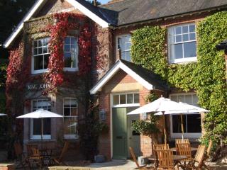
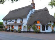
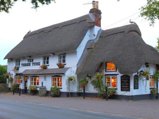
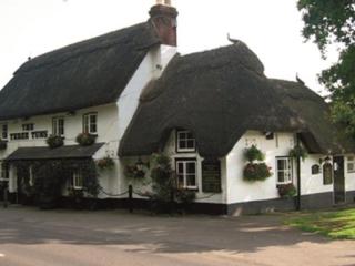
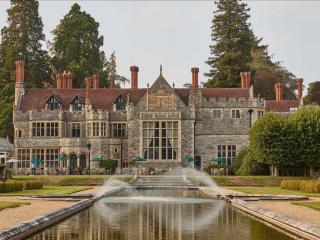
King John Inn
Very much the traditional village inn, the King John Inn has so much appeal, located in the sleepy village of Tollard Royal, on the borders of Wiltshire and Dorset. The bedrooms have be...
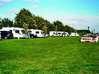
Coombe Touring Park
Coombe Touring Park is a very neat and attractive site adjacent to the racecourse with views over the downs. The park is well landscaped with shrubs and maturing trees, and the very col...
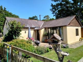
Forester's Cottage
Forester's Cottage is a delightful detached cottage within private grounds on the border of the New Forest/East Dorset. Ground level accommodation (no stairs) sleeps 4 and an infant (a ...
Forester's Cottage
Forester's cottage is a delightful, detached, 2-bedroom property. Each room has vaulted timber ceilings and en-suite shower rooms. Sleeping 4 + an infant, a travel cot and highchair can...
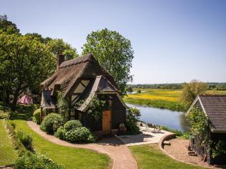
Undercastle Cottage
Undercastle cottage is a dog-friendly, luxury cottage in the New Forest that sleeps 4 to 6 people. It has sun terraces, lush gardens and 2,500m of private fishing on the Hampshire Avon....
Places to eat nearby View all