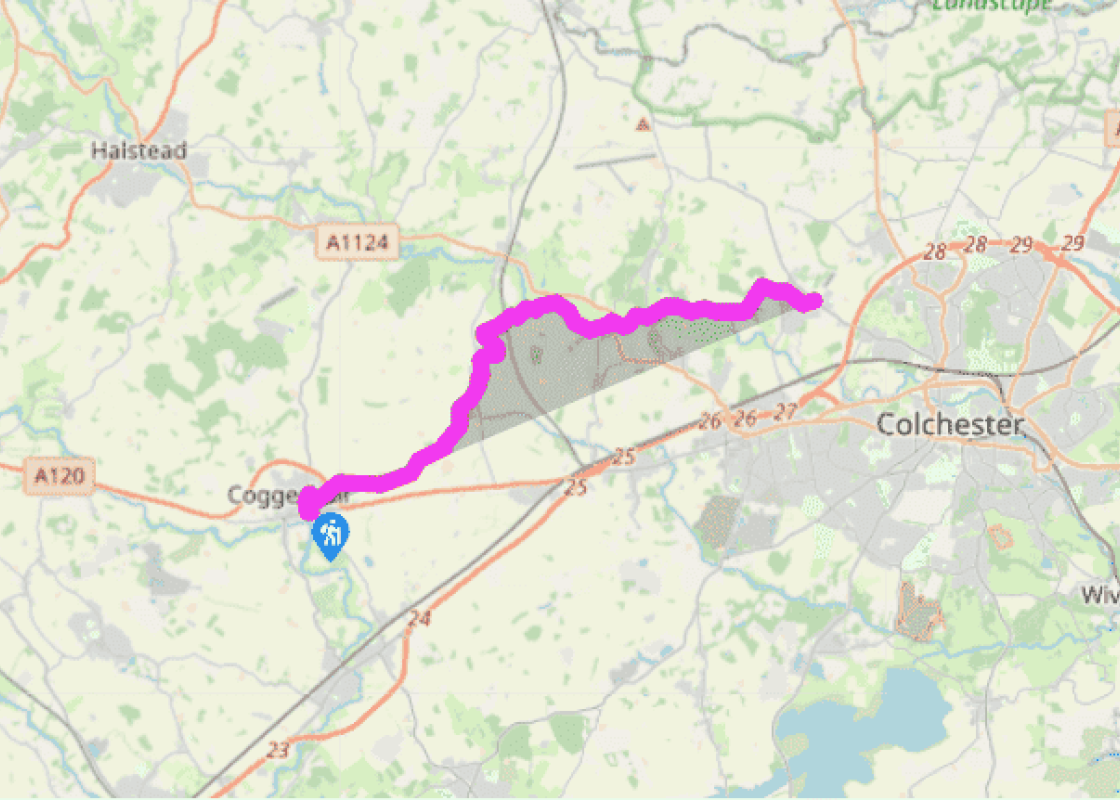
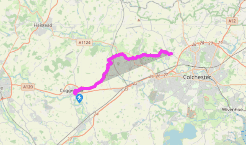
Essex Way: Coggeshall to West Bergholt
From the Church of St Peter ad Vincula the route proceeds east and then south for a few hundred yards, into areas of rather less architectural interest. A footpath soon leaves the road to the left and then leads the walker into a field and soon to the Coggeshall bypass, which should be crossed with care.
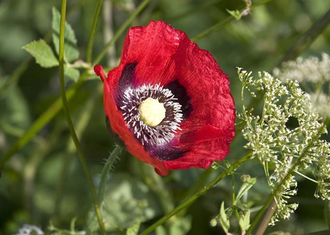
The path makes its way eastward from the road, to run parallel with Stane Street (ancient Roman Road) through a number of flax fields. After a minor road, the path climbs up a bank to pass along fishing ponds and the unusual buildings at Houchin’s Farm. At the end of the ponds, the path drops down to a thin metal footbridge but the way is terribly overgrown so arm yourself with a stick. A few hundred yards later, the path turns northeast to cross a small road at East Gores. Do note the angle of the chimney on the house to your left.
From East Gores, the track turns more northwards to cross a number of fields and pass a small conifer plantation, running alongside a brook for some of the way. Keep heading approximately north and the great Norman crossing tower of St Barnabas Church in Great Tey should eventually come into view.
Upon reaching the church, turn right at the road then left up the main street of Great Tey.
The route turns right off Great Tey main street and then meanders before the path continues northeastwards taking a right fork up a few steps at the far end of a tree-lined section of path.
It crosses the railway line, and descends through Bacon’s Farm to the banks of the River Colne. While walking downhill through these pleasant meadows, look away to your left to the elegant viaduct crossing the Colne Valley to Chappel Station, now also the home of a museum of railway artefacts. From here, almost all the way to West Bergholt, the path is never far from the River Colne. Although in many places the official footpath is more direct than the riverbanks, out of consideration for the farmers’ crops the path has, over the years, ended up following the line of the river until Fordstreet, where it passes along the river ward side of a large nursery, eventually emerging by the A1124
Colchester–Halstead road.
After crossing to the north side of the river, the riverbank trail continues from the gardens of the (currently closed) Shoulder of Mutton pub. From Fordstreet, the path once again hugs the river fairly closely. After about 0.5 miles (800m) the route crosses Mill Road, but then meets with no interruption for the next mile (1.6km). It turns into a farm track just after passing a ruined barn. This track leads
uphill through Cook’s Hall Farm, turns north and continues uphill to West Bergholt Church.
From there a path leads eastward across a field and into a housing estate on the outskirts of West Bergholt. New Church Road leads into the village centre.
Been on this walk?
Send us photos or a comment about this route. Or recommend a route of your own.
Walking in Safety
Read our tips to look after yourself and the environment when following this walk.
Get an AA guide
Explore our range of ‘50 Walks in’ guides - they’re the ideal companion for a ramble.
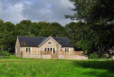
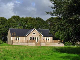
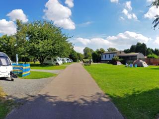
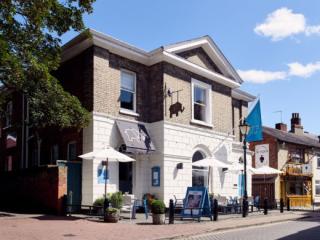
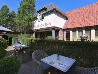
Nearby places to stay
View all (8)
- Total units: 6
- Garden furniture
- BBQ on site
- Dish washer
- Total units: 2


