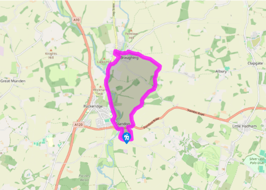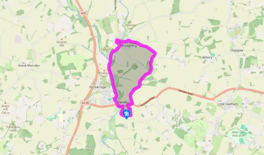
The Rib Valley
Walk south along Standon High Street to the church. At the junction with Paper Mill Lane go left into Hadham Road. Beyond the village turn left at a public footpath signposted 'Frogshall Cottages'. Go sharp left along an enclosed path and continue along this green lane as it descends to the A120. Turn right, uphill. Before the bend, go left at a public bridleway sign.
Follow the bridleway, which eventually descends into a valley to bear right, keeping a stream on your right. At the end of the arable field cross the parish boundary to climb away from the stream, with oak woods on your right. Keeping all the farm buildings on your left continue to a road.

Been on this walk?
Send us photos or a comment about this route. Or recommend a route of your own.

Walking in Safety
Read our tips to look after yourself and the environment when following this walk.

Get an AA guide
Explore our range of ‘50 Walks in’ guides - they’re the ideal companion for a ramble.
Been on this walk?
Send us photos or a comment about this route. Or recommend a route of your own.
Walking in Safety
Read our tips to look after yourself and the environment when following this walk.
Get an AA guide
Explore our range of ‘50 Walks in’ guides - they’re the ideal companion for a ramble.
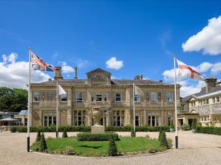
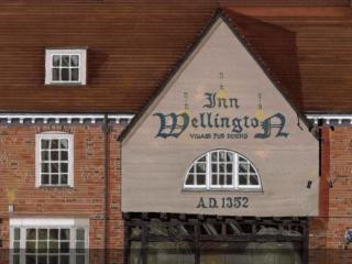
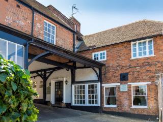
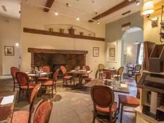
Nearby places to stay
View all (8)