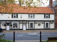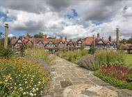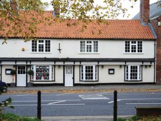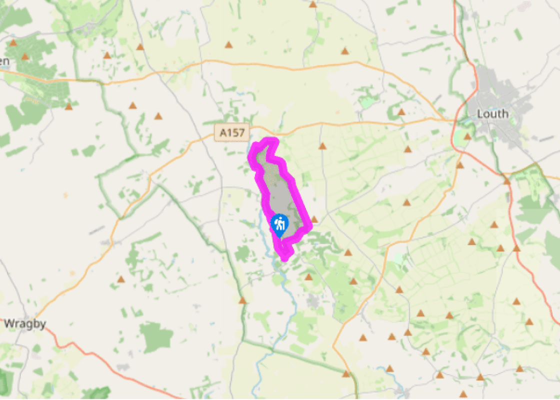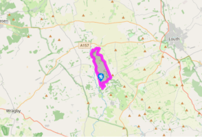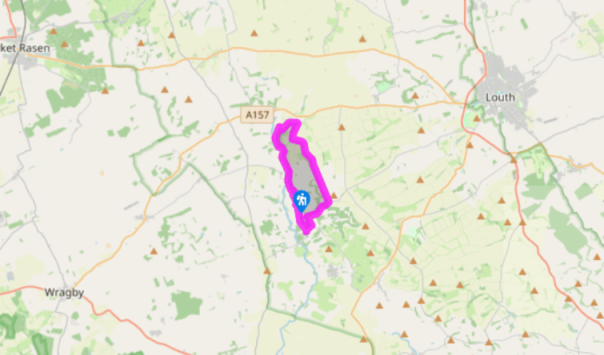
Around Donington on Bain
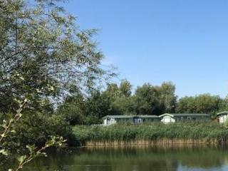
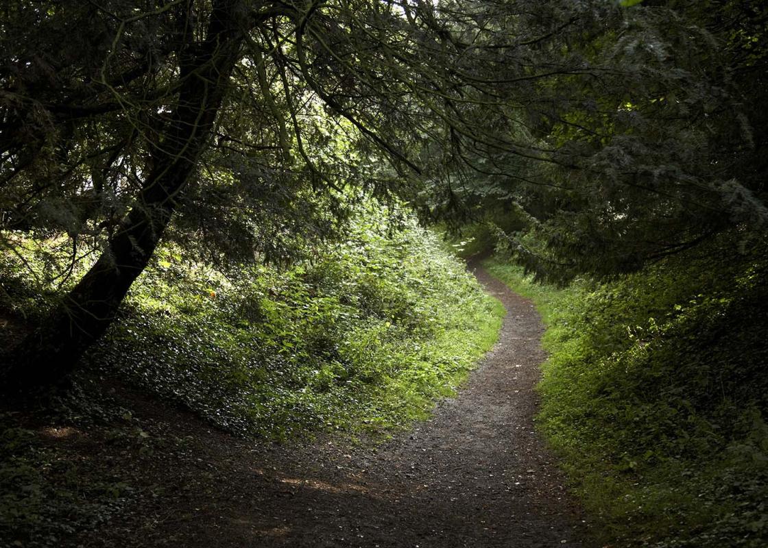
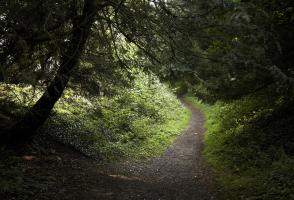
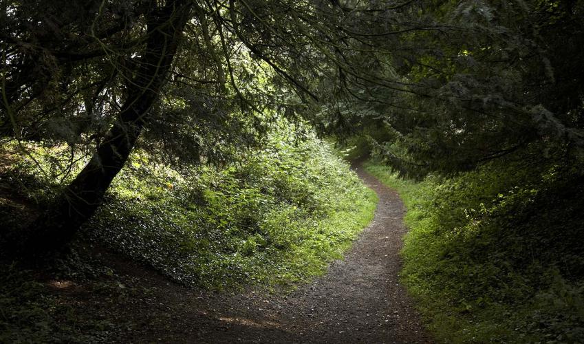
Walk out of the village northwards, past the Norman church and the post office, on to Mill Road. At the first junction turn right, signposted 'Hallington' and 'Louth', then in a few paces go left, over a stile. Walk along the bottom of successive fields, with the River Bain on your left and the lofty Belmont Transmitting Station dominating the skyline further west. After 0.75 miles (1.2km), and having passed a fishing lake, you reach a footbridge.
Cross over the footbridge to walk around the perimeter of Biscathorpe's isolated little church, then continue past a house and across a lane to cross another footbridge ahead. Head half left across the bumpy outline of a deserted medieval village towards the top of the hill and go through a gate for a path through a small plantation. Turn right on a lane and walk along this for 550yds (503m).

Been on this walk?
Send us photos or a comment about this route. Or recommend a route of your own.

Walking in Safety
Read our tips to look after yourself and the environment when following this walk.

Get an AA guide
Explore our range of ‘50 Walks in’ guides - they’re the ideal companion for a ramble.
Been on this walk?
Send us photos or a comment about this route. Or recommend a route of your own.
Walking in Safety
Read our tips to look after yourself and the environment when following this walk.
Get an AA guide
Explore our range of ‘50 Walks in’ guides - they’re the ideal companion for a ramble.
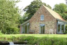
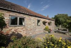
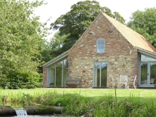
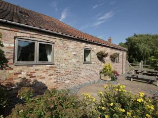
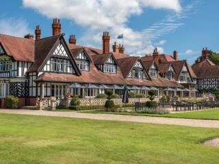
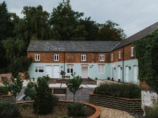
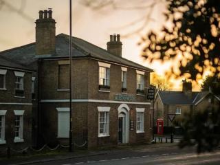
Nearby places to stay
View all (8)