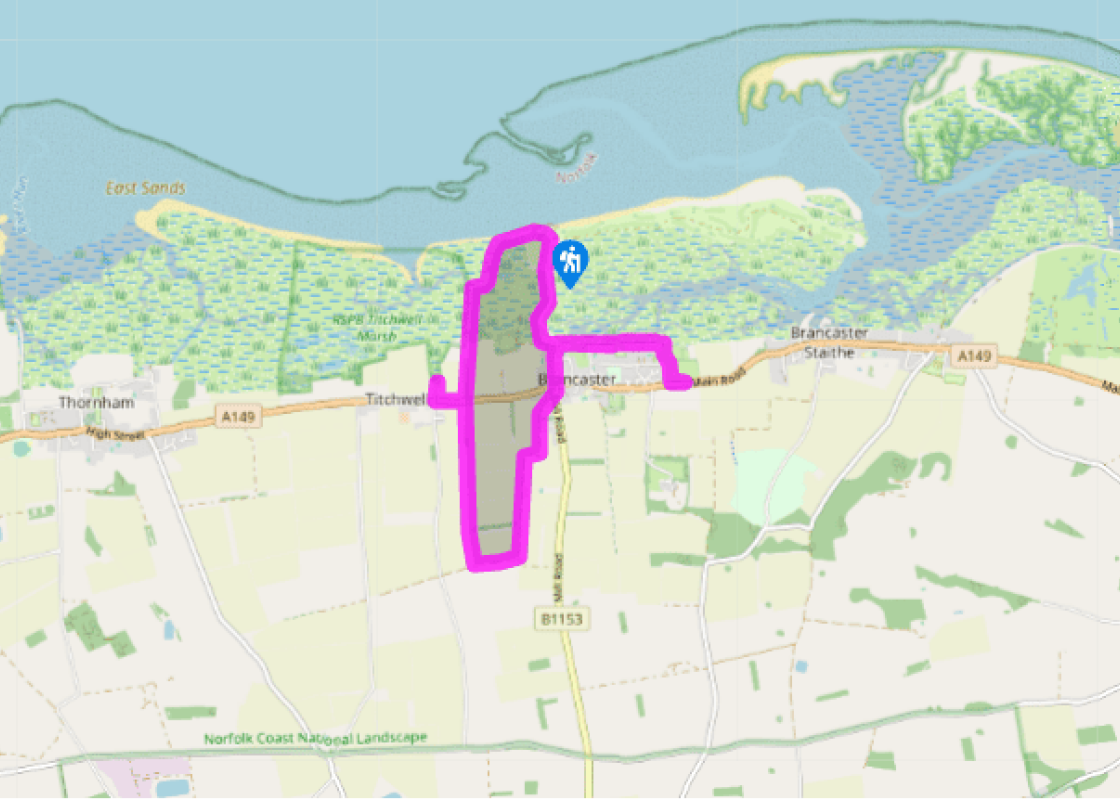
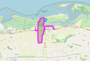
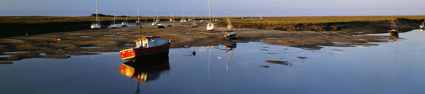
Brancaster to Titchwell
Out of the car park, cross the lane and bear left behind the toilets along a raised dyke, initially paralleling the road. Later dropping from the bank beside an overgrown wartime bunker, the path winds out to a track. Turn left past cottages back to the lane.
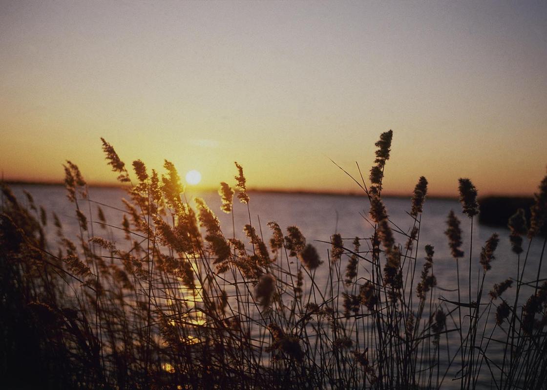
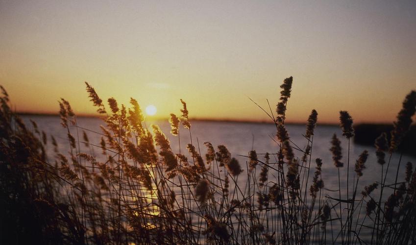
The onward route lies to the right, but first go left and then right along the coast path. Signed to Brancaster Staithe, it runs at the edge of the coastal reed beds. After 0.5 mile (800m), a kissing gate on the right gives access to the site of the Branodunum Roman fort, which lies one field removed from the coast path.
Return along the coast path back to the lane and now go left, passing St Mary's Church before reaching the main road in Brancaster. For The Ship Hotel, turn left, otherwise, cross to the road opposite. Walk up past the village green and then branch off right along Chosely Road, a narrow lane squeezed between cottages. Signed as the coast path, it soon degrades to a track, climbing between high hedges. Keep with it as it swings right and then left, eventually reaching a junction at the top of the hill.
Go right along a green track. After some 0.25 mile (400m), leave through the second of adjacent openings in the right-hand hedge. Walk away down the broad field margin. As the path passes into a second field, a view opens to the coast and the slender spire of Titchwell church can be seen rising above the cottages.
Emerging at the bottom onto the main road, cross and go left to Titchwell. At a junction by the cross in the village, turn right to the church.
Retrace your steps back and now go left along a byway path signed to Brancaster. After passing through a strip of dense scrub, the path continues on a flood dyke above reed beds and then marsh, where snaking channels and pools attract water birds and waders. Beyond a breach in the dyke, which in time may be repaired, the raised path swings right and left.
At the next corner, if the way is clear, keep ahead, dropping across a causeway to continue towards the coast. At the dunes, swing right, either following the beach around the point below the Royal West Norfolk Golf Club and turning in to the car park, or following a path behind the dunes and on to the higher ground, passing between the clubhouse and a driving range. If the causeway is flooded keep right along the raised bank to the next junction and there, swing left towards the coast. Curve right before the clubhouse back to the car park.
Been on this walk?
Send us photos or a comment about this route. Or recommend a route of your own.
Walking in Safety
Read our tips to look after yourself and the environment when following this walk.
Get an AA guide
Explore our range of ‘50 Walks in’ guides - they’re the ideal companion for a ramble.
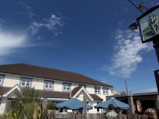
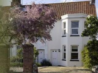
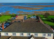
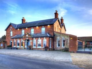
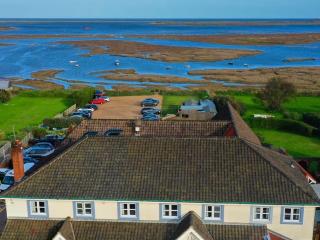
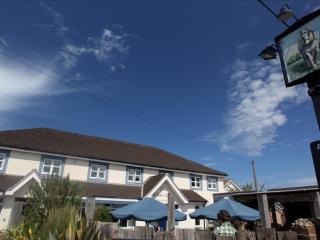
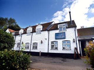
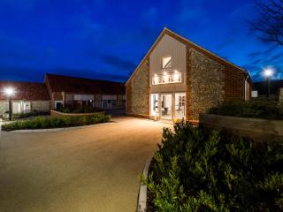
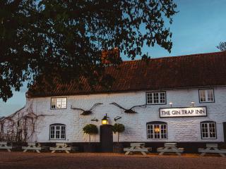
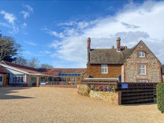
Nearby places to stay
View all (8)
- Family rooms: 4
- Free TV
- WiFi available


