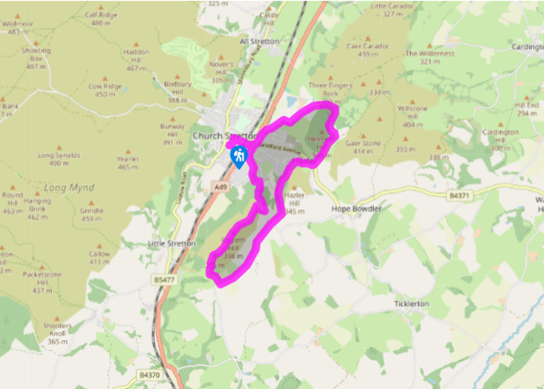
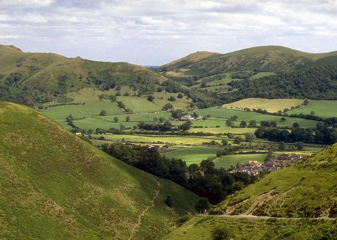
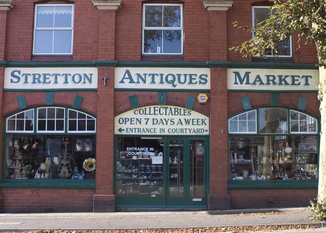
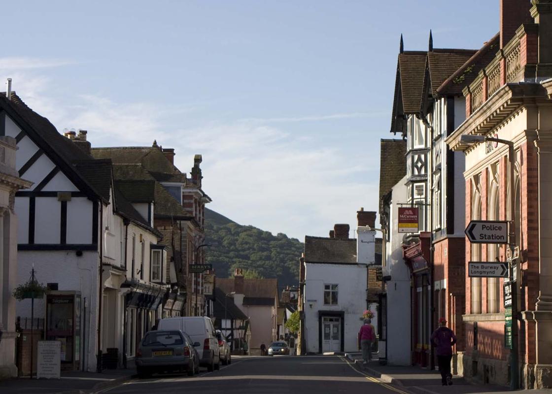
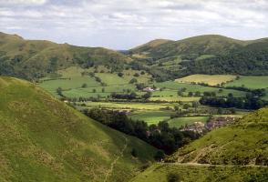
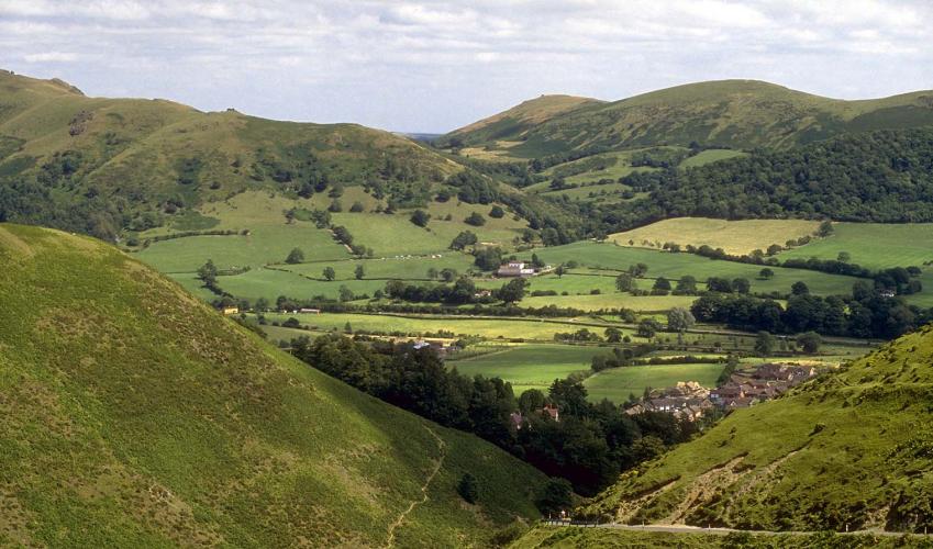
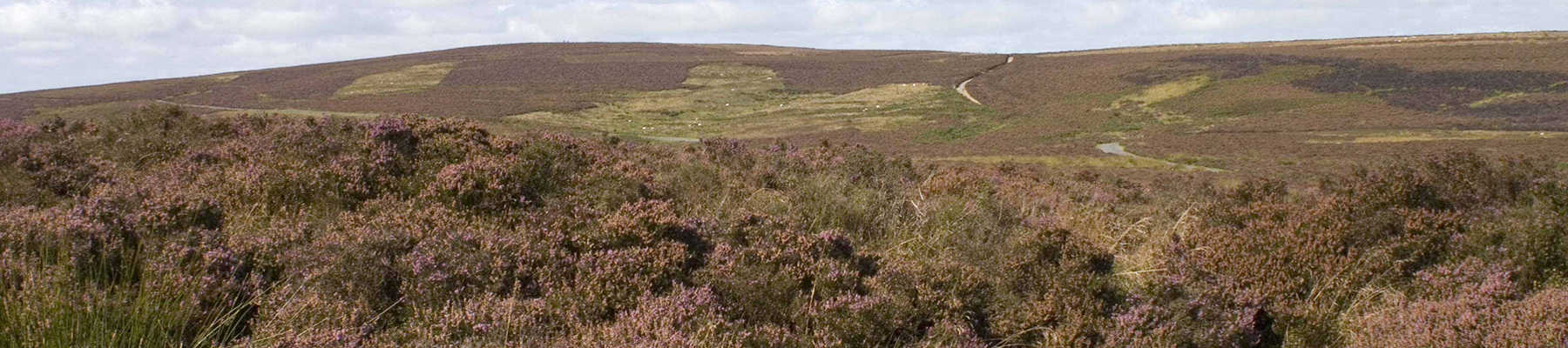
The Stretton Hills
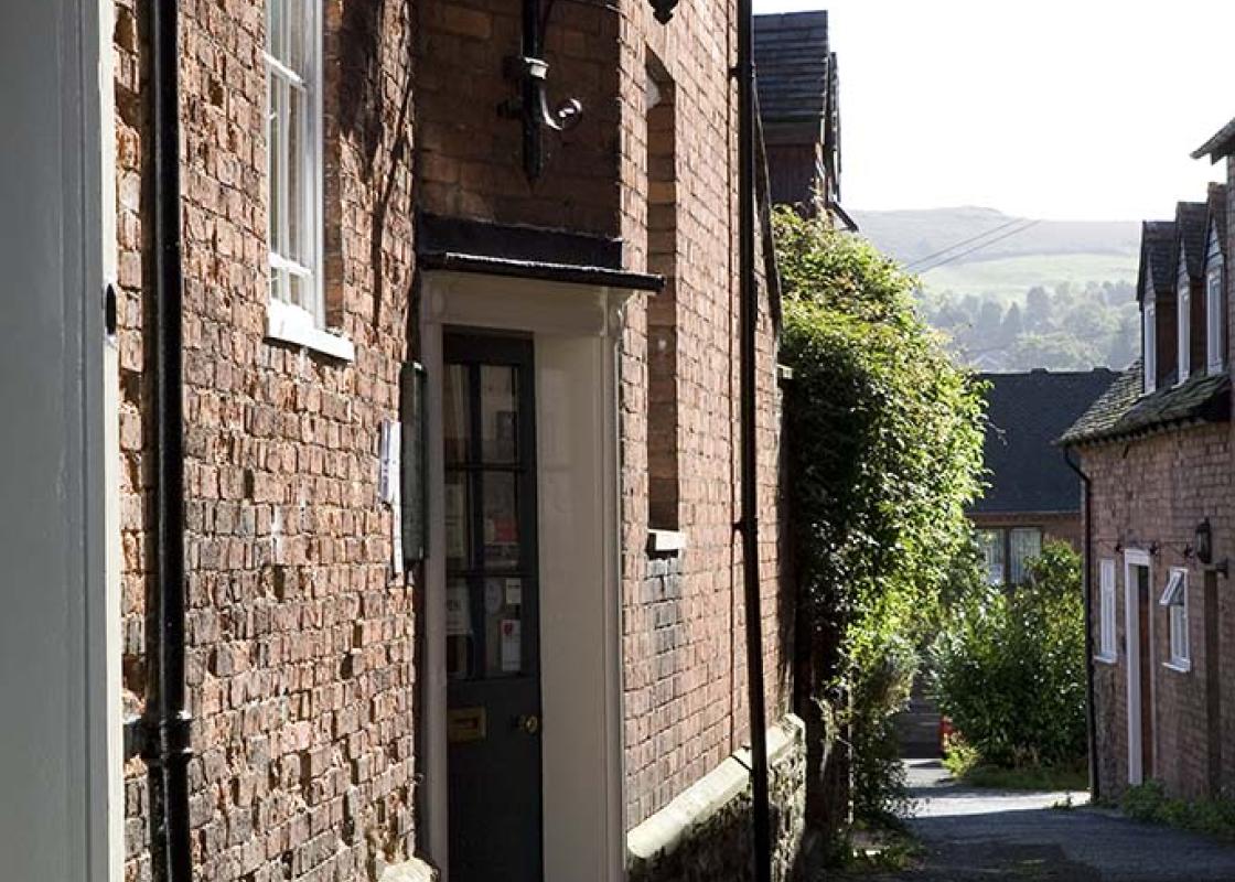
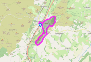
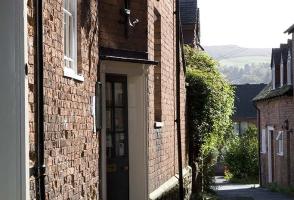
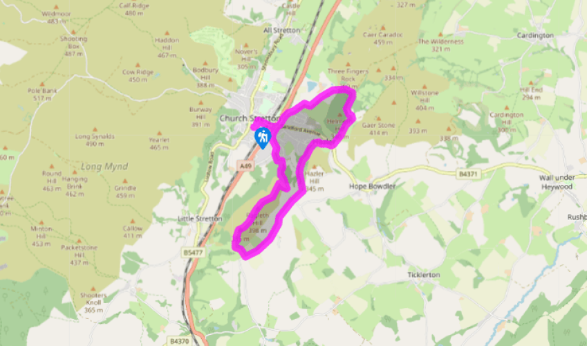
Walk along Easthope Road to Sandford Avenue, turn right and walk past the train station. Cross the A49, proceed along Sandford Avenue, then turn right on Watling Street South. Turn left by a postbox, fork right and shortly left on Ragleth Road.
Turn right into a Woodland Trust reserve, through a 5-bar gate into Gough’s Coppice. Keep left at a fork, climbing by the edge of the wood, and left again at the next junction. Leave the wood at a stile and turn right on a footpath. After a level section, the path climbs steeply to a stile. Turn right for a few paces, then fork left to follow a higher path, which goes by the left-hand fence through woodland.
When the path emerges on to the open hillside, keep straight on as far as a stile, but don’t cross it. Turn your back on it and follow a trodden path up Ragleth Hill, then walk along the spine of the hill.
A pole marks the southern summit. Descend the steep well-worn path past rocks then follow a fence down to a stile. Drop left to another stile and climb to the top left corner of the next field. Follow the left-hand hedge down another field and join a lane.
Turn left and follow the lane, with its wide green verge, for about a mile (1.6km), passing the turn for Chelmick and Soudley.
Just past a timber clad house (Clemcroft) turn left on a bridleway signed to Church Stretton. Follow this to a gate and down through woodland.
Approaching a second gate, don’t go through, but turn right to contour round Hazler Hill for 0.4 miles (65m). Turn right at a lane, walk to a junction and cross to a bridleway opposite, which passes Gaerstones Farm. After Caer Caradoc comes into view, go through a gate then look for a bridleway branching left to a gate/stile about 40yds (37m) away. The bridleway descends past Helmeth Hill to meet another bridleway at the point where this is crossed by a brook.
Turn left, soon emerging from woodland into pasture. Keep on in much the same direction, with a fence on your left. The path becomes a sunken track, which can be very muddy. Reaching a lane, turn left. Turn right on Helmeth Road bearing immediately left into Watling Street North, right again at a T-junction onto B4371, and retrace your outward route back to the car park.
Been on this walk?
Send us photos or a comment about this route. Or recommend a route of your own.
Walking in Safety
Read our tips to look after yourself and the environment when following this walk.
Get an AA guide
Explore our range of ‘50 Walks in’ guides - they’re the ideal companion for a ramble.
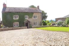
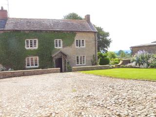
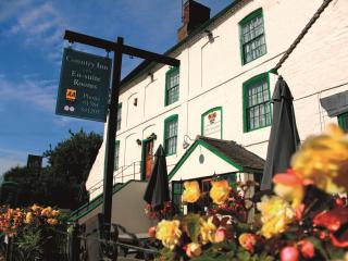
Nearby places to stay
View all (8)
- Rooms 5
- Free TV
- Wifi
- Rooms 2
- Free TV
- Wifi
- Lounge with TV


