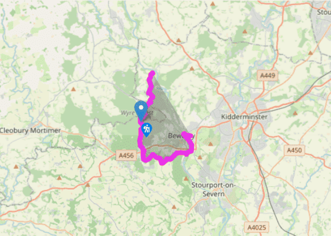
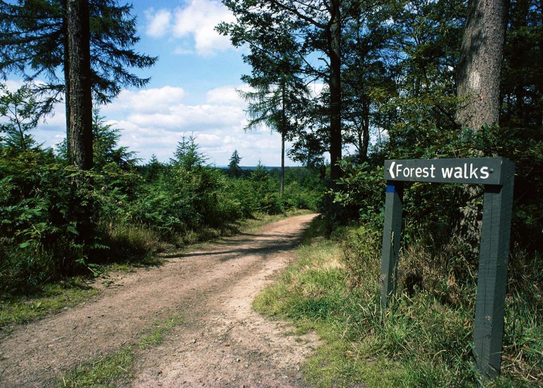
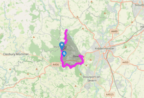
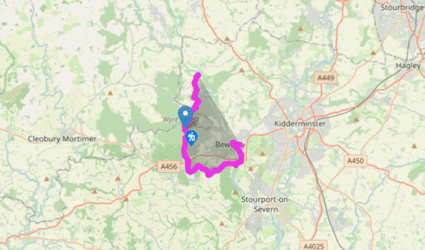
The Wyre Forest
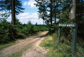
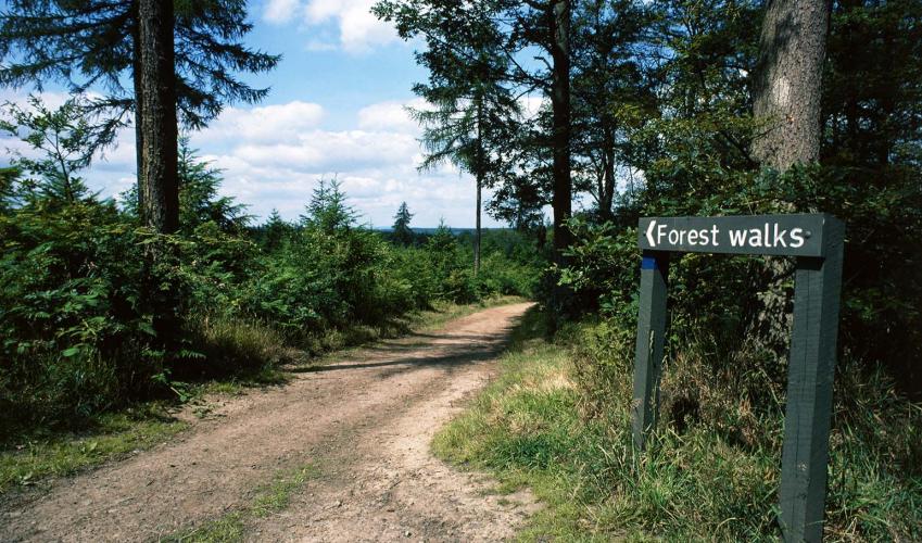
Turn right out of Arley Station to go uphill for 700yds (640m). Turn left. After a cottage follow a track into woodland, but soon fork right, ascending by a set of gates (not the driveway of Seckley Cottage). Roughly 30yds (27m) after the pasture on the right ceases, take the left-hand fork, leaving broken trees to your right. Soon bear right. After 500yds (457m), turn left at a track. Just 35yds (32m) on, reach a five-way junction. Go ahead, between blue-marked posts. In 310yds (283m) reach a fire break with low brick structures.
About 40yds (37m) beyond this, turn right down a conifer avenue. After some 440yds (402m), at a red-and-white orienteering post, turn right along a gravel path. At the car park bear right to the B4194.
Take a few paces right then cross over. Go only 15yds (14m) into the forest and turn right, walking parallel with the road. Before a house turn left (fingerpost), soon joining a better track. Keep on this for over 0.5 miles (800m), descending on concrete to Dowles Brook’s miniature flood plain. Continue for under 0.25 miles (400m), passing Coopers Mill Cottage, then left to a timberfenced footbridge. Turn immediately right. In 90yds (82m), ascend steeply (marked footpath) to an old railway.
Go through the gate opposite. After about 600yds (549m) just before you come to a cleared area, your path is half-right opposite a grass ride, into oaks (look for a public footpath waymarker). Follow this for over 0.5 miles (800m). Skirt a meadow, reaching a gravel track at Oak Grove. Eventually this reaches the A456 beside the St John’s Trading Estate.
Turn left for 75yds (69m) then turn right by a water tower (sign, ‘Tarn’). Just 30yds (27m) past a ‘private garden’ sign, take the stile into pasture then another into an abandoned orchard. Run alongside a hedge on the right, past a third stile, to a fourth 30yds (27m) further on, in the corner. Another stile leads into woodland. At a junction, turn left and in just 25yds (23m), fork right, descending slightly. Go ahead for 700yds (640m). At a golf club sign turn right. In 240yds (219m), turn two-thirds right. Go past a modern yet small cottage ignoring the stile opposite. Turn left at the road, by the entrance to the outdoor education centre, to a concrete lay-by.
Waymarked, go right across a huge field to a stile 25yds (23m) to the right of a gateway. Turn left. Follow this for 500yds (457m) to a road. Turn right for 300yds (274m). Turn left. In 350yds (320m) take the right fork, ‘Worcestershire Way’. Avoid The Beeches using stiles. Descend to Ribbesford’s church. A horse chestnut avenue leads to the (fast) B4194. Turn left for 110yds (100m), then cross road to Blackstone Riverside Park. Follow the River Severn into Bewdley. Cross Telford’s stylish bridge, following signs to the Severn Valley Railway. Return to Arley Station and the start of the walk on the train.
Been on this walk?
Send us photos or a comment about this route. Or recommend a route of your own.
Walking in Safety
Read our tips to look after yourself and the environment when following this walk.
Get an AA guide
Explore our range of ‘50 Walks in’ guides - they’re the ideal companion for a ramble.
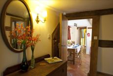
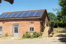
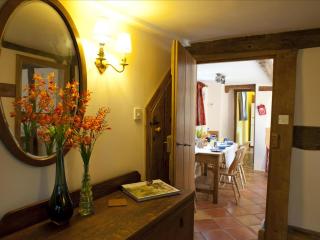
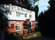
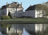
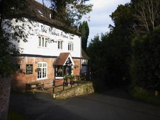
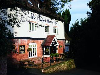
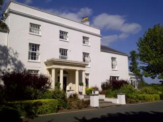
Nearby places to stay
View all (8)
- Total units: 1
- Private garden
- Lawn area
- Garden furniture
- Total units: 1

