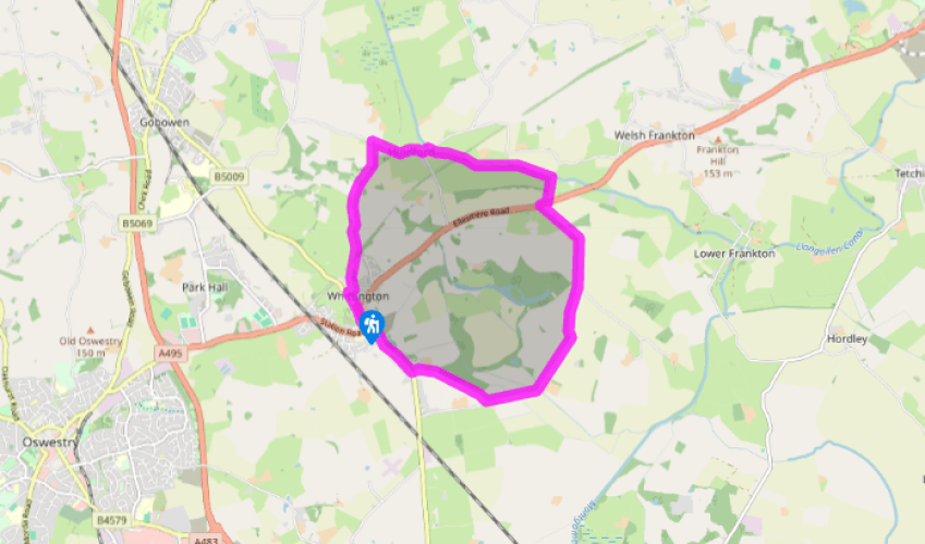
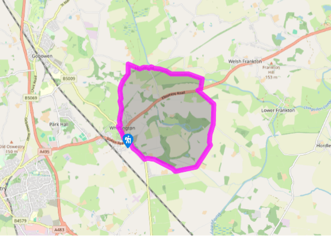
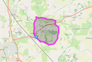
Cross a pedestrian crossing in front of the castle and follow the Shrewsbury road (B5009). Just before the Babbinswood speed limit signs, cross a stile on the left and follow a waymarked path across three fields to a corner by a copse.
Walk along a field-edge, with the copse on your left. Cross a gap in the corner, then go obliquely across another field as indicated by a waymarker. A prominent oak tree is a useful guide. There is a stile left of the tree, but you may have to fight through nettles to get to it. Cross the next field to a gate onto a lane and turn left.
Keep left at a junction and continue to the A495. Cross and turn right for about 70yds (63m) to a stile and footpath sign in the hedge. Go along the lefthand edge of a field to a stile and footbridge. Beyond these, keep going along the field edge until a gap in the hedge. Go through, then continue in the same direction as before, soon going up a bank.
Meet the canal at Pollett’s Bridge (No. W6). Join the towpath and go under the bridge. Follow the tow path to Hindford Bridge (No. W11), then go up to a lane.
Turn left at Hindford Bridge, then right again, signposted ‘Iron Mills and Gobowen’. After half a mile (800m), opposite a no-through road, go left over a stile. Walk down a paddock to the far end, then cross a stile on the right. Follow a fence to a footbridge, continue to another footbridge and keep straight on across marshy ground to a stile ahead. Cross the next field, aiming just left of a copse. Go through a gate and then left by a field-edge.
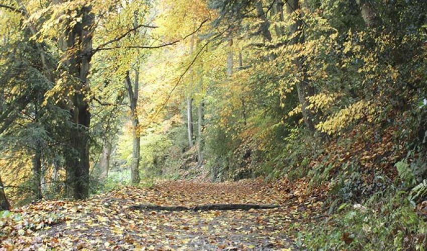
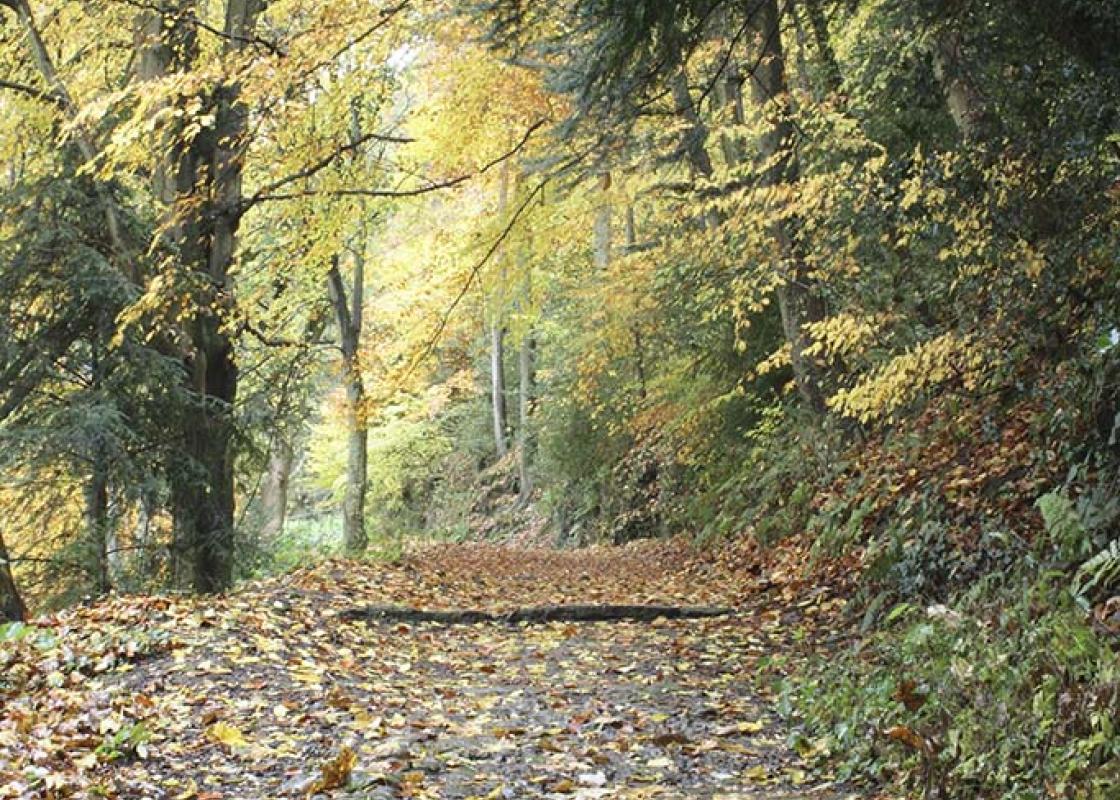
Join a track that soon bends right beside a dismantled railway. Look out for a stile giving access to the railway. Turn right on the former trackbed for a few paces, then up the bank on the left – watch out for the remains of steps concealed in the undergrowth here. Cross a stile to a field, turn right along a fence running alongside a track and cross another stile. Bear left to a large oak tree, then continue past the cemetery to a lane. Follow it to Top Street and turn right, then left to Whittington Castle.
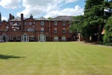
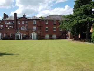
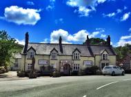
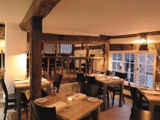
The name Llangollen Canal is relatively recent; originally it was called the Ellesmere Canal, and later became part of the Shropshire Union system. The earliest stretch to be built was the one running southwest from Frankton to the important limestone quarries at Llanymynech, which was opened in... 1796. This was later linked to the Montgomery Canal, and that name was applied to the entire 35-mile (56km) stretch from Frankton Junction to Newtown, Powys, which was completed in 1819. The Ellesmere Canal was extended to Llangollen, and a northern branch was planned via Ruabon, which would have ultimately linked the Dee and Mersey to the Severn at Shrewsbury, but this was never built. It was only when canal-boating for pleasure took off in the later 20th century that it was renamed the Llangollen Canal. Its most famous landmark is the great aqueduct at Pontcysyllte, which carries the canal in an iron trough 120ft (37m) in the air. Although the canal negotiates some hilly country, the only locks between Frankton and Llangollen are the two at New Marton. You can hardly miss Whittington Castle, right at the start of the walk. Uniquely, it is owned and run by a local community trust, which acquired a 99-year lease in 1999. Castles are plentiful in these lands near the Welsh border, and though the site may not look particularly strategic at first glance, it was once largely surrounded by difficult marshes. Parts of the area are still poorly drained and remain susceptible to flooding; there’s a glimpse of this in the later stages of the walk. The castle began, like many others, as a Norman motte-and-bailey, built by William de Peverel. The fortress passed to his daughter and then by marriage to the Fitzwarine family, who rebuilt it in stone in the 13th century. After the defeat of the Welsh, the castle became neglected. Damage inflicted during the English Civil War was not repaired, apart from the 19th-century renovation of the gatehouse, until the Preservation Trust became active in the 1960s.
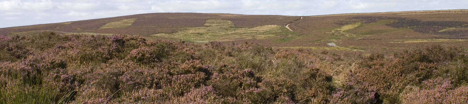
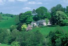
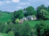
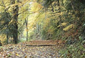
Perhaps nowhere else in England will you find a county so deeply rural and with so much variety as Shropshire. Choose a clear day, climb to the top of The Wrekin, and look down on that ‘land of lost content’ so wistfully evoked by A E Housman.
Cross a pedestrian crossing in front of the castle and follow the Shrewsbury road (B5009). Just before the Babbinswood speed limit signs, cross a stile on the left and follow a waymarked path across three fields to a corner by a copse.
1 of 6
Walk along a field-edge, with the copse on your left. Cross a gap in the corner, then go obliquely across another field as indicated by a waymarker. A prominent oak tree is a useful guide. There is a stile left of the tree, but you may have to fight through nettles to get to it. Cross the next field to a gate onto a lane and turn left.
2 of 6
Keep left at a junction and continue to the A495. Cross and turn right for about 70yds (63m) to a stile and footpath sign in the hedge. Go along the lefthand edge of a field to a stile and footbridge. Beyond these, keep going along the field edge until a gap in the hedge. Go through, then continue in the same direction as before, soon going up a bank.
3 of 6
Meet the canal at Pollett’s Bridge (No. W6). Join the towpath and go under the bridge. Follow the tow path to Hindford Bridge (No. W11), then go up to a lane.
4 of 6
Turn left at Hindford Bridge, then right again, signposted ‘Iron Mills and Gobowen’. After half a mile (800m), opposite a no-through road, go left over a stile. Walk down a paddock to the far end, then cross a stile on the right. Follow a fence to a footbridge, continue to another footbridge and keep straight on across marshy ground to a stile ahead. Cross the next field, aiming just left of a copse. Go through a gate and then left by a field-edge.
5 of 6
Join a track that soon bends right beside a dismantled railway. Look out for a stile giving access to the railway. Turn right on the former trackbed for a few paces, then up the bank on the left – watch out for the remains of steps concealed in the undergrowth here. Cross a stile to a field, turn right along a fence running alongside a track and cross another stile. Bear left to a large oak tree, then continue past the cemetery to a lane. Follow it to Top Street and turn right, then left to Whittington Castle.
The name Llangollen Canal is relatively recent; originally it was called the Ellesmere Canal, and later became part of the Shropshire Union system. The earliest stretch to be built was the one running southwest from Frankton to the important limestone quarries at Llanymynech, which was opened in... 1796. This was later linked to the Montgomery Canal, and that name was applied to the entire 35-mile (56km) stretch from Frankton Junction to Newtown, Powys, which was completed in 1819. The Ellesmere Canal was extended to Llangollen, and a northern branch was planned via Ruabon, which would have ultimately linked the Dee and Mersey to the Severn at Shrewsbury, but this was never built. It was only when canal-boating for pleasure took off in the later 20th century that it was renamed the Llangollen Canal. Its most famous landmark is the great aqueduct at Pontcysyllte, which carries the canal in an iron trough 120ft (37m) in the air. Although the canal negotiates some hilly country, the only locks between Frankton and Llangollen are the two at New Marton. You can hardly miss Whittington Castle, right at the start of the walk. Uniquely, it is owned and run by a local community trust, which acquired a 99-year lease in 1999. Castles are plentiful in these lands near the Welsh border, and though the site may not look particularly strategic at first glance, it was once largely surrounded by difficult marshes. Parts of the area are still poorly drained and remain susceptible to flooding; there’s a glimpse of this in the later stages of the walk. The castle began, like many others, as a Norman motte-and-bailey, built by William de Peverel. The fortress passed to his daughter and then by marriage to the Fitzwarine family, who rebuilt it in stone in the 13th century. After the defeat of the Welsh, the castle became neglected. Damage inflicted during the English Civil War was not repaired, apart from the 19th-century renovation of the gatehouse, until the Preservation Trust became active in the 1960s.
Perhaps nowhere else in England will you find a county so deeply rural and with so much variety as Shropshire. Choose a clear day, climb to the top of The Wrekin, and look down on that ‘land of lost content’ so wistfully evoked by A E Housman.