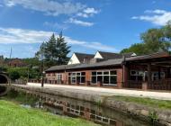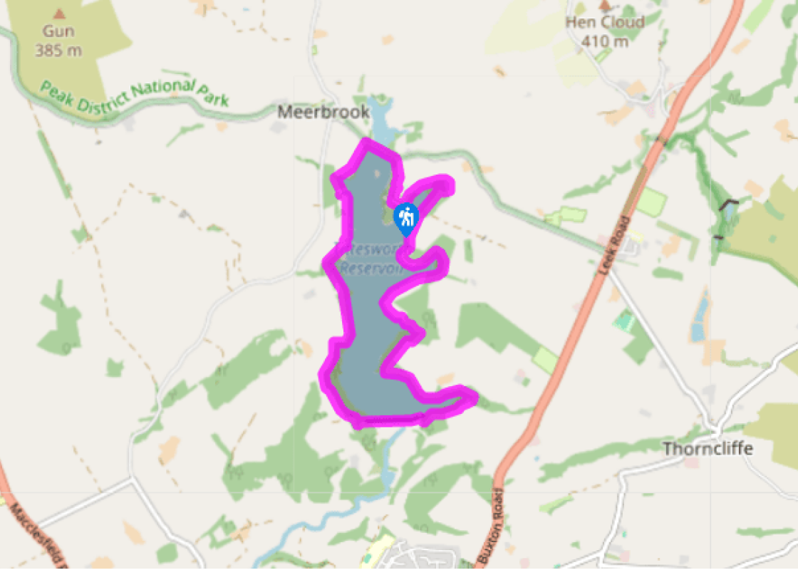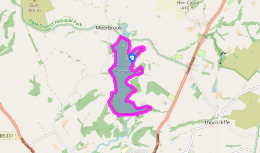
Around Tittesworth Water
Recommended by

"Reservoir biodiversity provides drinking water for the Potteries and a valuable habitat for wildlife."
Walk directions
Facing the entrance to the Visitor Centre cross the car park to your left and follow a path signed ‘Waymarked Walks’. Bend left at an early junction then pass the main car park and a play area. Ignore side paths on a twisty section to pass an engineered ‘log jam’ then cross two bridges. Fork right from the main trail to take the ‘Water’s edge path’. Ignore all side turns along this, bending left at a small headland and past some woodland. Now bend left into the woods and fork right at a track junction to rejoin the ‘Long Trail’ (unsigned).
Follow the Long Trail through the wood, crossing two small bridges. As the path leaves the wood fork right on to a grassy track, again signed ‘Water’s edge path’.
View all directions
Additional information
Terrain
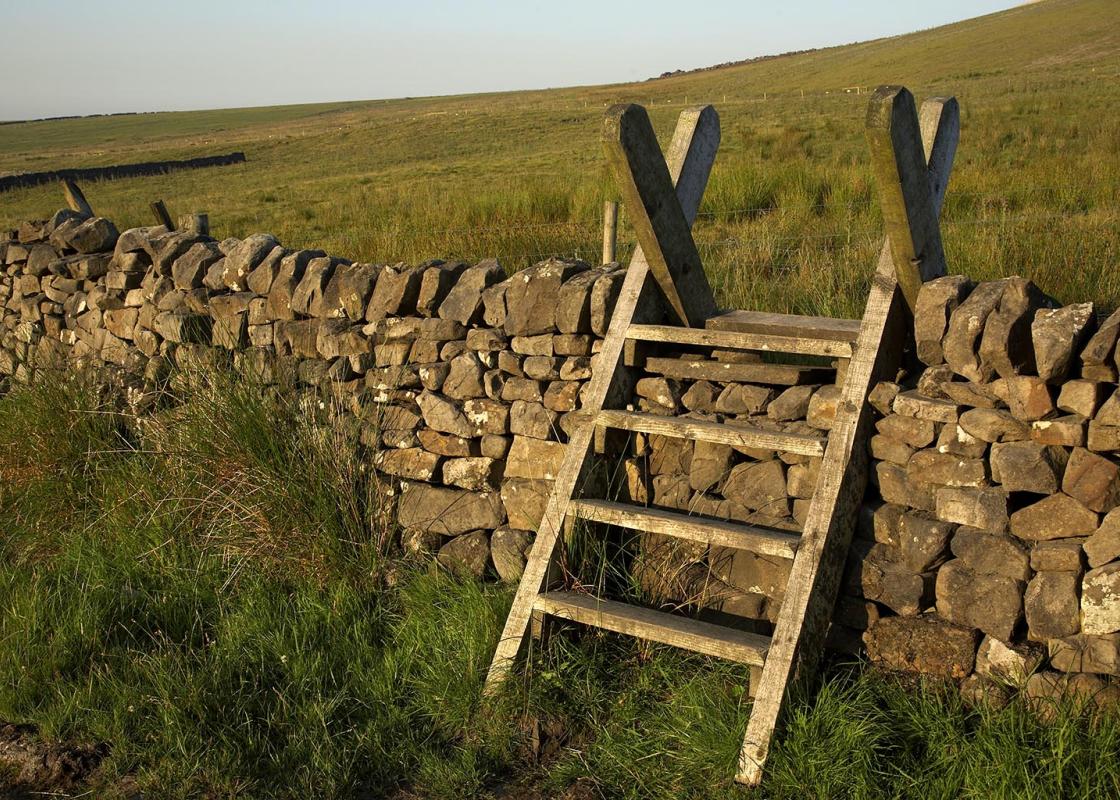
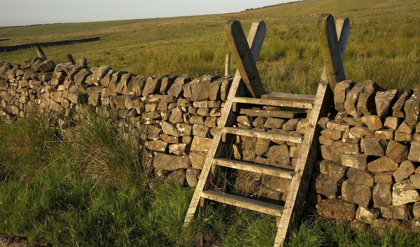
- Good well-made footpaths, forest tracks and roads
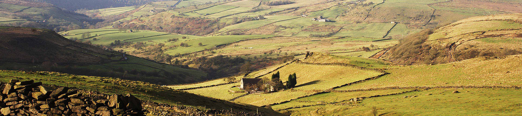
Landscape
- Reservoir and woodland
Dog friendliness
- On lead at all times and under control
Parking
- Tittesworth Water Visitor Centre
Toilets en route
- At Tittesworth Water Visitor Centre
About the walk
Tittesworth Water and dam were built in 1858 to collect water from the River Churnet and provide a reliable water supply to Leek’s thriving textile and cloth-dying industry. By 1963 work to increase its size had been completed, and local farmland was flooded to create a reservoir capable of...
Read more

Been on this walk?
Send us photos or a comment about this route. Or recommend a route of your own.

Walking in Safety
Read our tips to look after yourself and the environment when following this walk.

Get an AA guide
Explore our range of ‘50 Walks in’ guides - they’re the ideal companion for a ramble.
Been on this walk?
Send us photos or a comment about this route. Or recommend a route of your own.
Walking in Safety
Read our tips to look after yourself and the environment when following this walk.
Get an AA guide
Explore our range of ‘50 Walks in’ guides - they’re the ideal companion for a ramble.
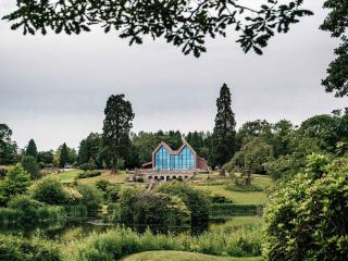
About the area
Staffordshire features lofty moors, deep dales and tremendous views of both. Further south are the six sprawling towns that make up Stoke-on-Trent, which historically have had such an impact on Staffordshire’s fortunes, not to mention its culture and countryside.
Nearby places to stay
View all (8)


Nearby places to stay
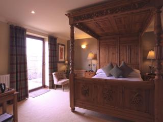
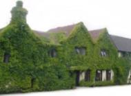
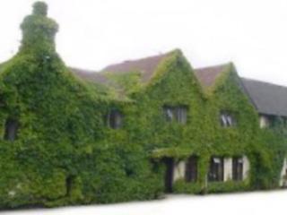
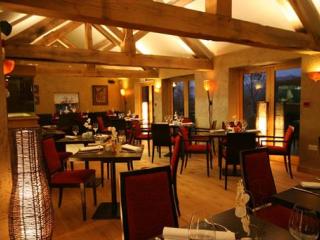
Three Horseshoes Country Inn & Spa
This traditional family-owned inn provides individually designed bedrooms, including several modern 'Garden rooms' with hot tubs, some with 4-poster beds. The smart pub-brasserie, with ...
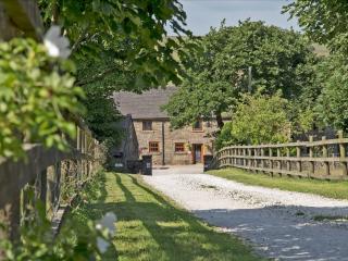
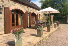
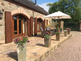
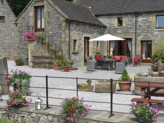
Lane Head Barns
Lane Head Barns includes two luxury self-catering holiday cottages within the courtyard of Lane Head Farm. The two cottages are recently renovated barn conversions and enjoy far reachin...
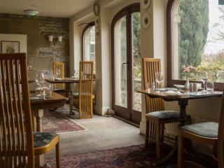
Ballfields Barn
This detached contemporary barn nestles on a delightful south facing hillside location on the south west edge of the Peak District National Park. A beautiful tranquil rural location in ...
Ballfields Barn
This detached contemporary barn nestles on a delightful south facing hillside location on the south west edge of the Peak District National Park. A beautiful tranquil rural location in ...
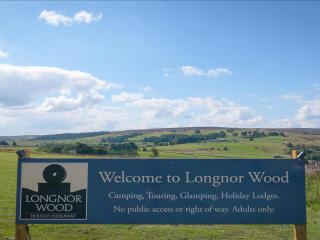
Longnor Wood Holiday Park
Longnor Wood is a spacious, adults-only park in a secluded, peaceful setting in the heart of the Peak District National Park. A hidden gem, the park is surrounded by beautiful rolling c...

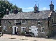
The Black Lion Inn
The Black Lion is an historic gem of a pub in the heart of the village on the edge of the Peak District. It offers a blend of historic character and modern comfort. The three en suite r...

Coach House at Swainsley Farm
Awaiting description...
Haybarn at Swainsley Farm
Awaiting description...
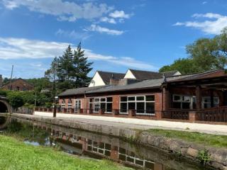
Places to eat nearby View all