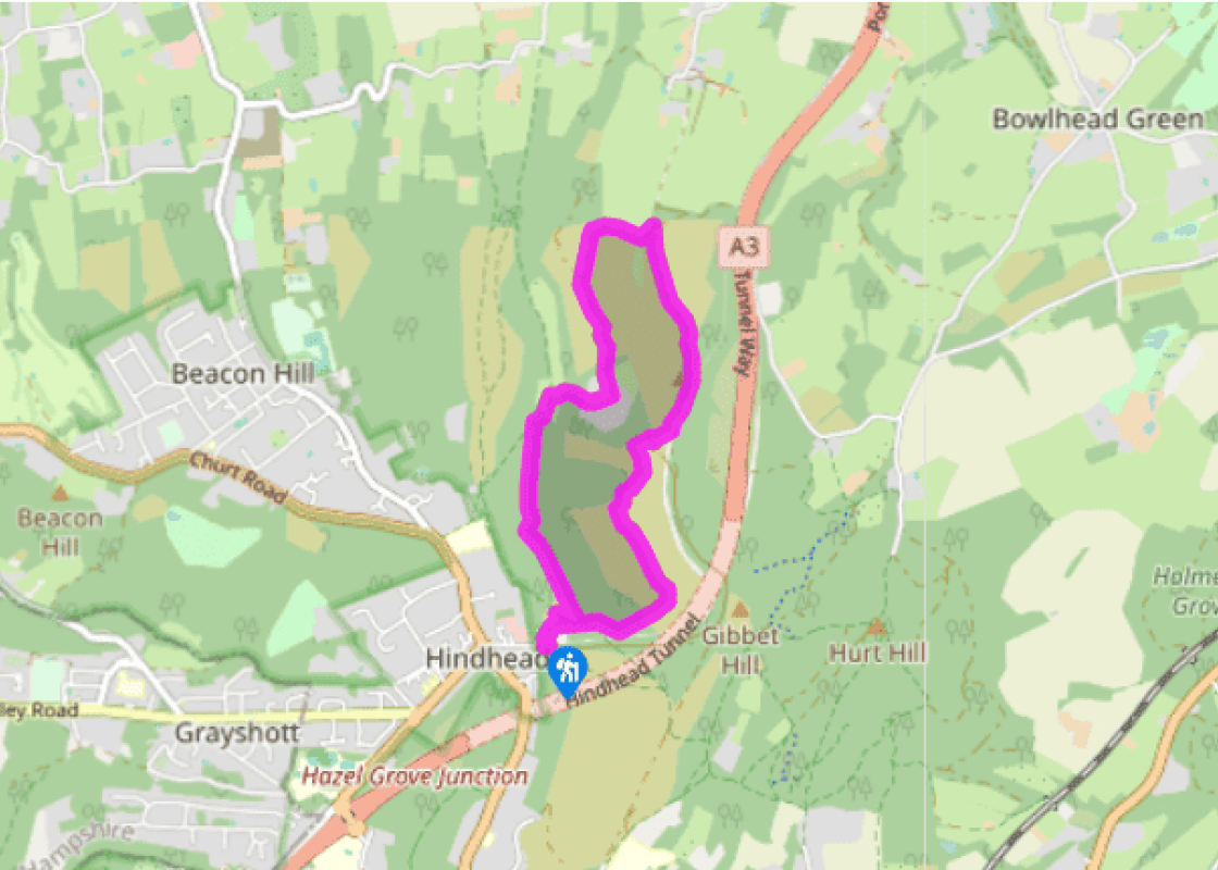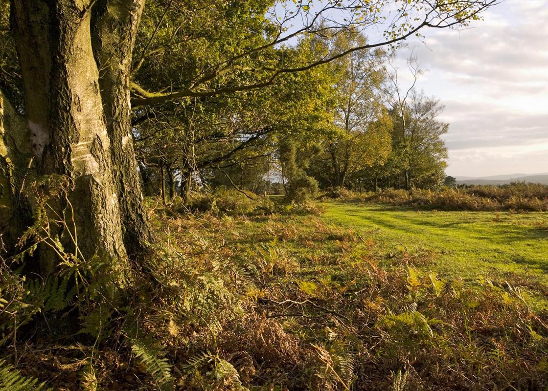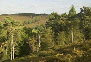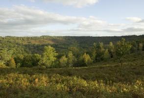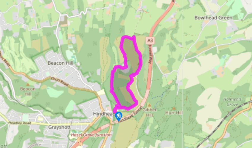
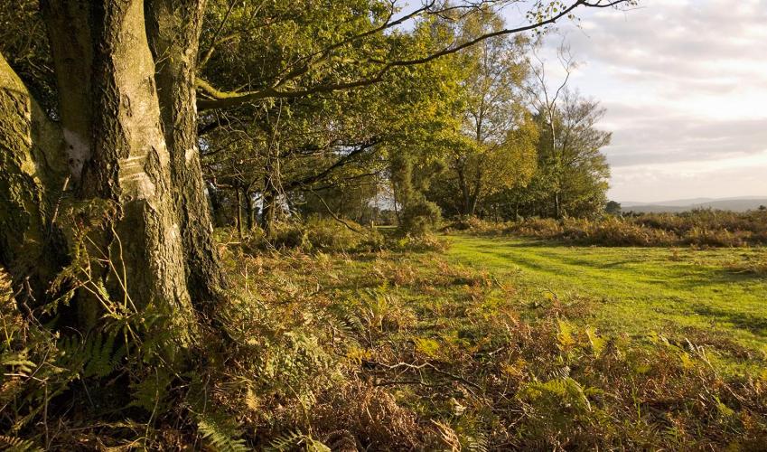
Hindhead and the Devil's Punch Bowl
Recommended by

"A charming, varied circuit explores one of Surrey's best known beauty spots"
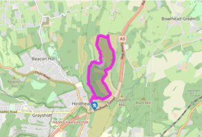
Walk directions
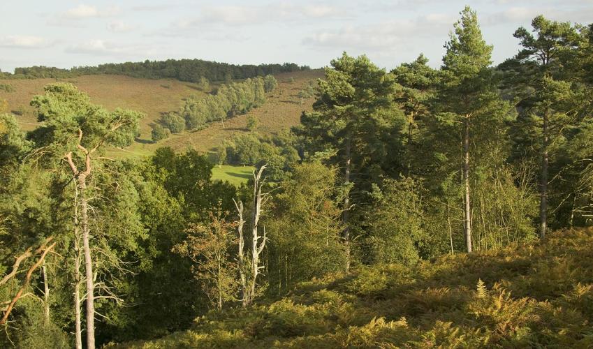
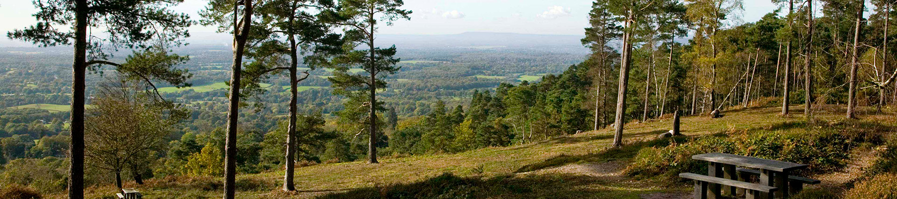
Head from the car park towards Devil’s Punch Bowl along the track between the café and the information board. Continue ahead to reach the viewing platform, marked by a bronze relief map of the Devil’s Punch Bowl, overlooking a spectacular view.
Descend the few steps and then turn right along the path. After 100yds (91m), meet a fork in the paths with a gate on the left-hand path. (At this point you can take a simple, short there-and-back 1 mile/1.6km route to Gibbet Hill by following the right-hand path and NT blue-and-pink trail markers: the route continues ahead, crosses over the line of the old road at an information board, and then shortly turns left on a tarmac path that leads past the Sailor’s Memorial and then, 60yds (55m) later, turns right to Gibbet Hill. Afterwards, turn left to the Celtic cross and down a short narrow path to the tarmac path, turn left and retrace your steps to the junction of paths.)
Now take the left fork to pass through a wooden kissing gate. Continue past two seats close together; and, in a further 85yds (73m), reach steep steps on the left. Descend these 102 steps and follow the narrow path as it drops into the valley. At the bottom meet a broad path coming from the right and turn left. At the next cross-path, near a Roam 639 waymarker, turn right and walk uphill to a wooden kissing gate. Go through the gate, turn left and then right onto tarmac track to a staggered junction of four tracks, where the Greensand Way joins from the right. Take the track on the left, the continuation of the Greensand Way, also marked ‘Unsuitable for motor vehicles’. Continue until meeting another four-way cross-tracks.
View all directions
Additional information
Terrain
- Mostly broad, unmade woodland tracks
Landscape
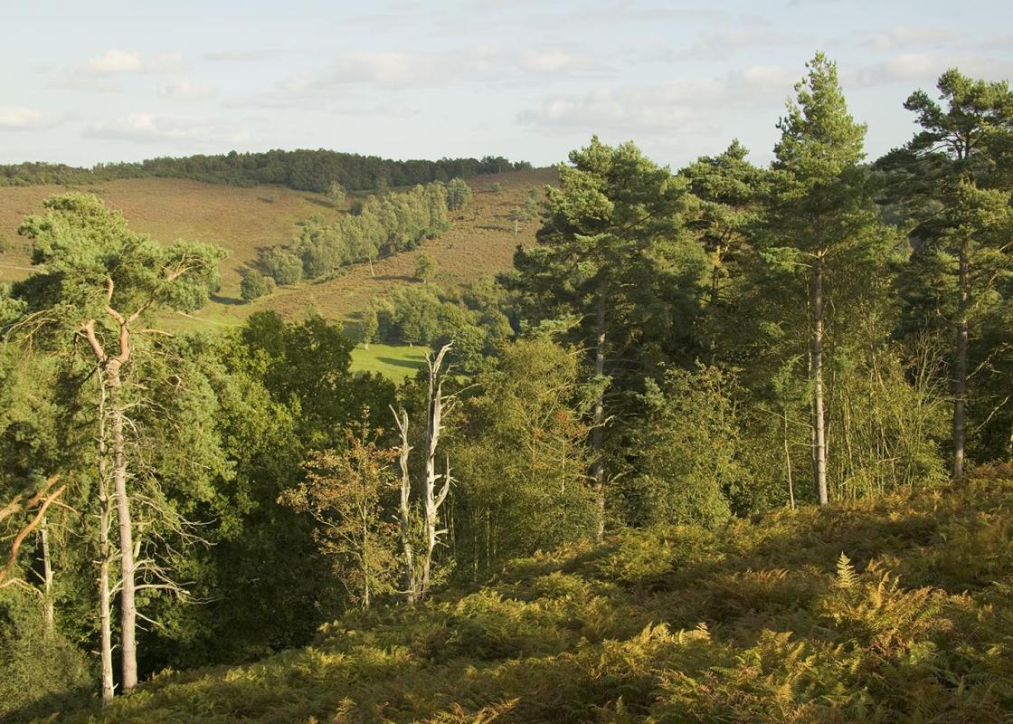
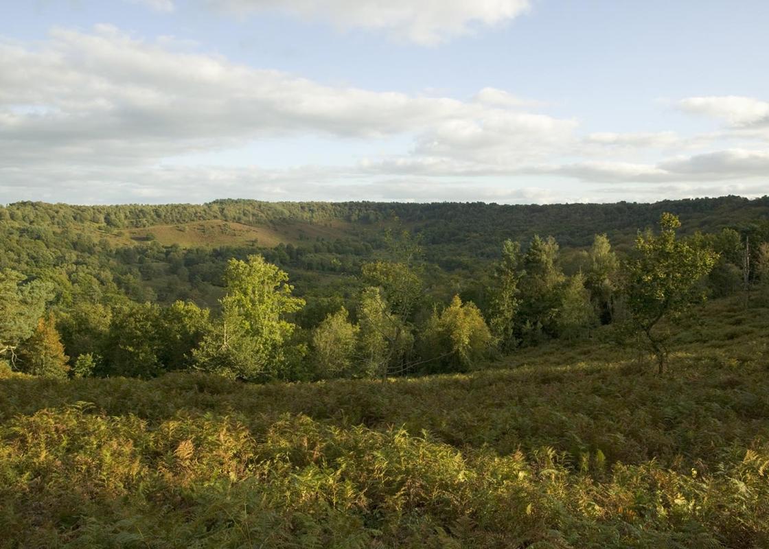
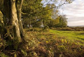
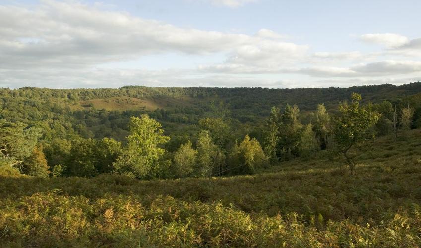
- Plunging, dramatic woods and heathland
Dog friendliness
- Take special care at A3 crossings; strict control around grazing livestock
Parking
- National Trust Hindhead commons and Devil’s Punch Bowl car park, junction of A333 and A287
Toilets en route
- At car park
About the walk
Today, Hindhead Common and the Devil’s Punch Bowl are renowned beauty spots, lovingly cared for by the National Trust. Yet just three centuries ago this desolate area was dreaded by travellers on the Portsmouth road. Daniel Defoe thought it barren and sterile, ‘horrid and frightful to look on’, and...
Read more

Been on this walk?
Send us photos or a comment about this route. Or recommend a route of your own.

Walking in Safety
Read our tips to look after yourself and the environment when following this walk.

Get an AA guide
Explore our range of ‘50 Walks in’ guides - they’re the ideal companion for a ramble.
Been on this walk?
Send us photos or a comment about this route. Or recommend a route of your own.
Walking in Safety
Read our tips to look after yourself and the environment when following this walk.
Get an AA guide
Explore our range of ‘50 Walks in’ guides - they’re the ideal companion for a ramble.
About the area
Surrey is one of England’s most wooded counties, with over a quarter of the landscape designated as an official AONB and plenty of history evident in the countryside. You’ll find sandy tracks, cottage gardens and welcoming village inns, and on the fringe of Greater London you can picnic in Chaldon’s hay meadows, explore the downs at Epsom, or drift idly beside the River Thames.
Nearby places to stay
View all (8)


Nearby places to stay

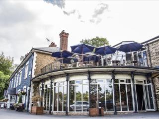
Harper's Haslemere
Harper's Haslemere is part of a small family of laid-back steak houses, fired up by the big, juicy stateside flavours from the best of east to west coast dining; from comforting to mind...
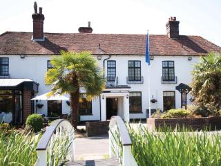
Frensham Pond Country House Hotel & Spa
Situated in an Area of Outstanding Natural Beauty, overlooking Frensham Great Pond this is a walker’s and water-lover’s paradise close to footpaths that run through the 1,000-acre Natio...
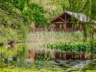
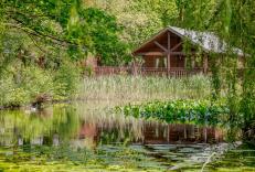
Tilford Woods Lodge Retreat
Retreat to the woods when you stay in one of the log cabin style lodges at Tilford Woods. All accommodation features full self-catering facilities, with top of the range log cabins even...
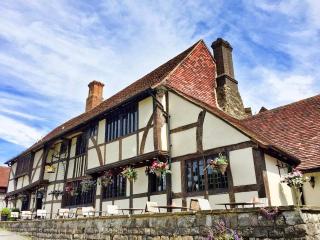
The Crown Inn Chiddingfold
Set in a tranquil location in a picturesque village, The Crown Inn Chiddingfold dates back to the early 13th century. This charming property offers stylish, modern accommodation that ha...

King’s Arms & Royal
The King's Arms and Royal is in the town of Godalming, and was first mentioned in 1639. Nestled between the Surrey Hills AONB and the South Downs National Park, this charming property w...
Bush Hotel Farnham
The Bush is an independent hotel that has been welcoming guests since 1618. Steeped in history but embracing contemporary design, it is situated in the heart of Farnham’s historic town ...

Hamilton Arms
The Hamilton Arms Suites is a large characterful country pub, with Niva Thai, a popular Thai restaurant, and modern spacious rooms, in the picturesque village of Stedham. The bedrooms a...
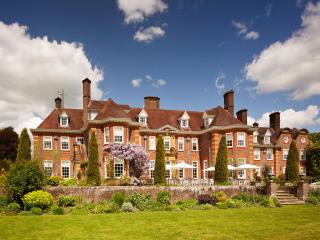
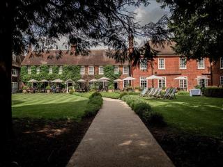
Barnett Hill Hotel
In the heart of the Surrey Hills, Barnett Hill is a beautiful Queen Anne-style mansion dating back to 1905; it sits in 26 acres of lovingly maintained gardens and woodland, a tranquil a...
Places to eat nearby View all