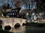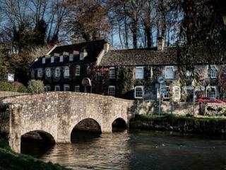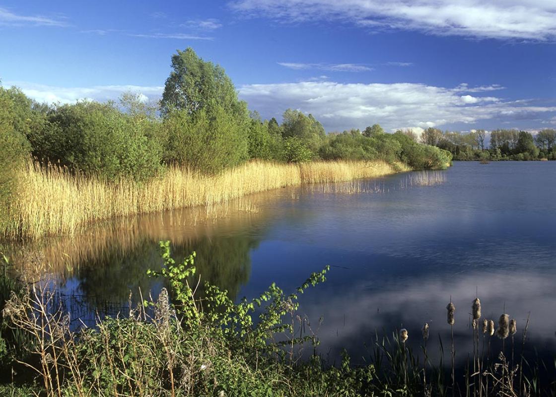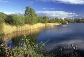
Cricklade and the infant Thames
Recommended by

"An easy ramble across water-meadows beside the Thames and disused canals"
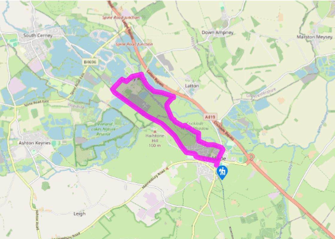
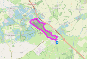
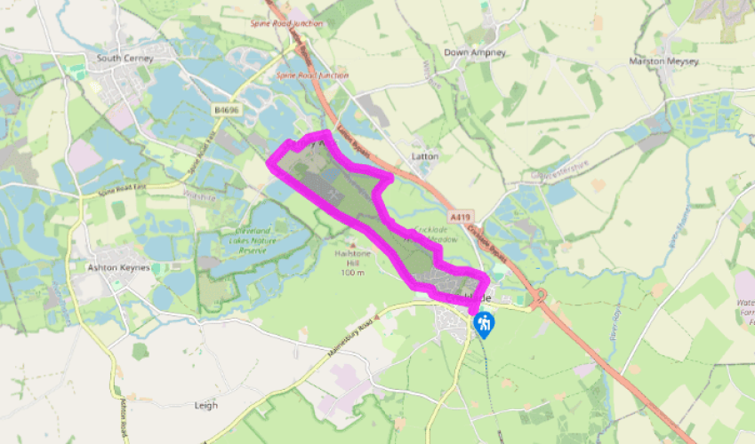
Walk directions
Turn right out of the car park by the Town Hall, then keep ahead at the roundabout and walk along the High Street. Pass St Mary’s Church, then turn left along North Wall before the river bridge. Shortly, bear right to a gate and join the Thames Path. Continue your route on the left along the field edge to houses and go through the kissing gate ahead. Walk along the surfaced path with houses on your left.
Go through the kissing gate on your right and bear left across the field to a gate. Follow the fenced footpath, cross a plank bridge and pass through the gate immediately on your right-hand side. Cross the river bridge and turn left through a gate. Turn immediately right and walk up the edge of the field to the kissing gate. Cross a footbridge to enter the North Meadow. Turn left and walk parallel to the bushes on your left for about 0.5 miles (800m) until the infant Thames comes into view on your left.
View all directions
Additional information
Terrain
- Field paths and bridle paths, disused railway, town streets, several stiles
Landscape
- Flat river valley
Dog friendliness
- Dogs can be off lead along old railway line
Parking
- Town Hall car park on High Street near Waylands or off High Street opposite Old Bear pub
Toilets en route
- In car park opposite the Old Bear pub
About the walk
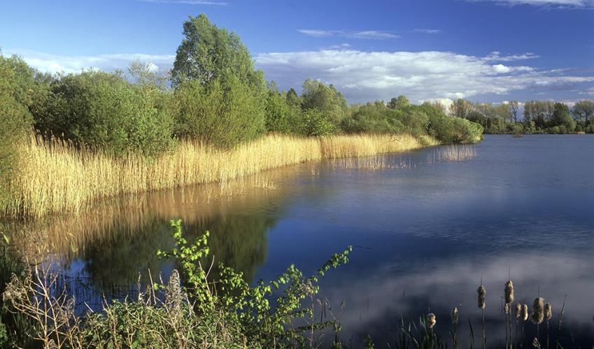
The River Thames begins life in a peaceful Gloucestershire field near Cirencester. Before long it graduates to a sizeable stream – also known as the Isis at this point – on its way to the Cotswold Water Park, a vast network of lakes and pools, before reaching Cricklade. The town is the northernmost...
Read more

Been on this walk?
Send us photos or a comment about this route. Or recommend a route of your own.

Walking in Safety
Read our tips to look after yourself and the environment when following this walk.

Get an AA guide
Explore our range of ‘50 Walks in’ guides - they’re the ideal companion for a ramble.
Been on this walk?
Send us photos or a comment about this route. Or recommend a route of your own.
Walking in Safety
Read our tips to look after yourself and the environment when following this walk.
Get an AA guide
Explore our range of ‘50 Walks in’ guides - they’re the ideal companion for a ramble.
About the area
Wiltshire’s charm lies in the beauty of its countryside, with expansive chalk landscapes of the Marlborough and Pewsey downs and miles of uninterrupted views deep into Dorset, Somerset and the Cotswolds. Stroll through quaint timbered and thatched villages in the southern Woodford and Avon valleys and explore the historic streets of the stone villages of Lacock, Castle Combe and Sherston.

Nearby places to stay
View all (8)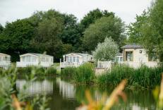


Nearby places to stay
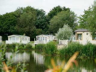
Hoburne Cotswold
Surrounded by pretty, stone-built villages, Hoburne Cotswold lies alongside one of the UK’s biggest water parks, with water sports, nature trails and wildlife. Four lakes belong to Hobu...
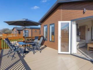
Hoburne Cotswold Reach
Awaiting description....
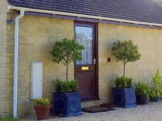
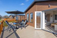
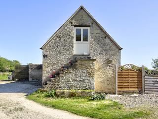
Field Farm Cottage
Field Farm Cottage is set on a working farm near a small Cotswold village, and enjoys pretty views over the countryside. The cottage sleeps two so would be great for a couple or even an...
Field Farm Cottage
Field Farm Cottage is set on a working farm near a small Cotswold village, and enjoys pretty views over the countryside. The cottage sleeps two so would be great for a couple or even an...
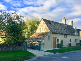
Culls Cottage – Eco Chic Cottages
Culls Cottage has everything you need for a perfect holiday. Dating back to 1670 the cottage sits in the Cotswold village of Southrop, close to historic Burford and Lechlade on Thames a...
Culls Cottage
Culls Cottage has everything you need for a perfect holiday. Dating back to 1670 the cottage sits in the Cotswold village of Southrop, close to historic Burford and Lechlade on Thames a...
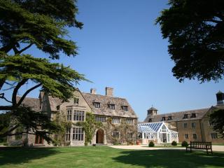
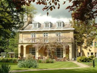
Stanton House Hotel
Stanton House Hotel is a historic, Cotswold-stone former Manor House with herbaceous borders, wild flower meadow and original walled gardens; perfectly placed for exploring Stanton Park...
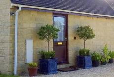
The Old Stables
Situated in the shadow of a manor house, The Old Stables is situated on the outskirts of Cirencester in the heart the Cotswolds. A tastefully converted barn built using Cotswold stone, ...
Places to eat nearby View all