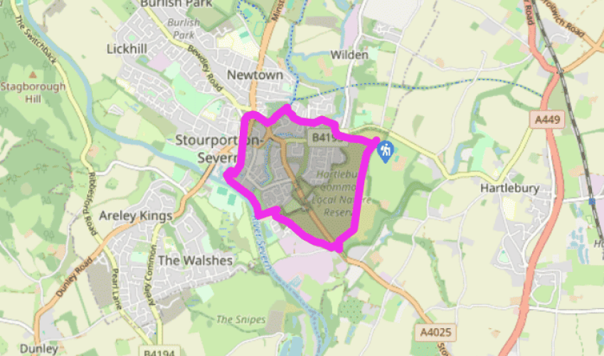
Stourport-on-Severn
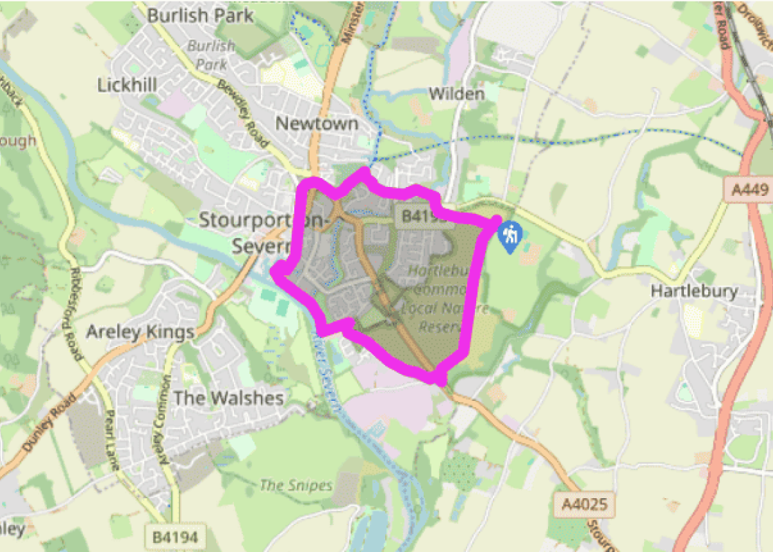
From the car park opposite the garden centre turn left for 370yds (340m) to take a footpath on the western side of the A4025. Strike across this bottom part of Hartlebury Common: you’ll see some buildings in the far distance. Veer right, roughly following power lines, through silver birches, to find a sandy track at the back of some houses. At a modern housing estate join the tarmac briefly, aiming for a dirt track beyond the ‘Britannia Gardens’ sign and after Globe House. Turn left down a tarmac footpath, initially with wooden paling on the left, to the river.
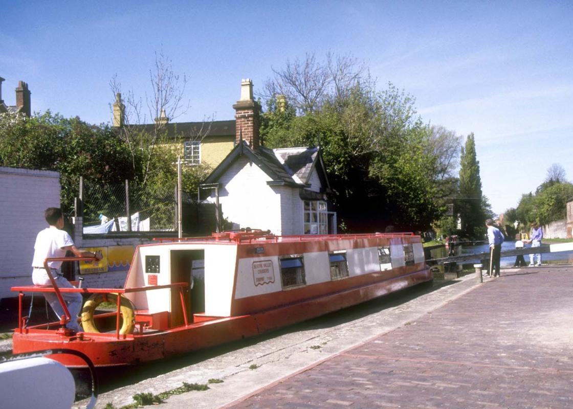
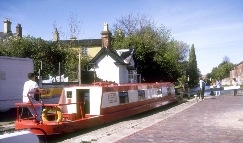
Turn right. In 650yds (594m) you’ll reach a lock and Stourport’s canal basins. You’ll probably want to spend some time exploring here but the route is neither across the two-plank walkway at the upper lock gate, nor the upper brick bridge with timber and metal railings; instead take the neat brick-paved path to circumnavigate The Tontine (see What to see). Now skirt the Upper Basin, passing Limekiln Chandlers. Across York Street join the tow path. Follow this for a little under 0.75 miles (1.2km), leaving it at the Bird in Hand, before a defunct brick railway bridge.

Been on this walk?
Send us photos or a comment about this route. Or recommend a route of your own.

Walking in Safety
Read our tips to look after yourself and the environment when following this walk.

Get an AA guide
Explore our range of ‘50 Walks in’ guides - they’re the ideal companion for a ramble.
Been on this walk?
Send us photos or a comment about this route. Or recommend a route of your own.
Walking in Safety
Read our tips to look after yourself and the environment when following this walk.
Get an AA guide
Explore our range of ‘50 Walks in’ guides - they’re the ideal companion for a ramble.
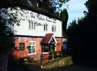
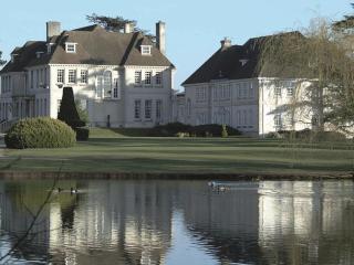
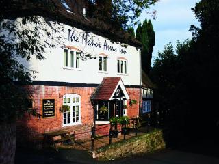
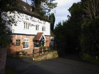
Nearby places to stay
View all (8)