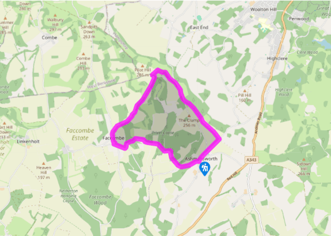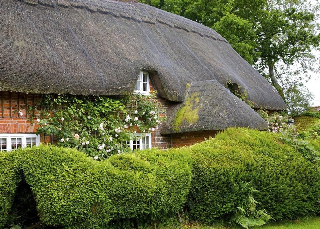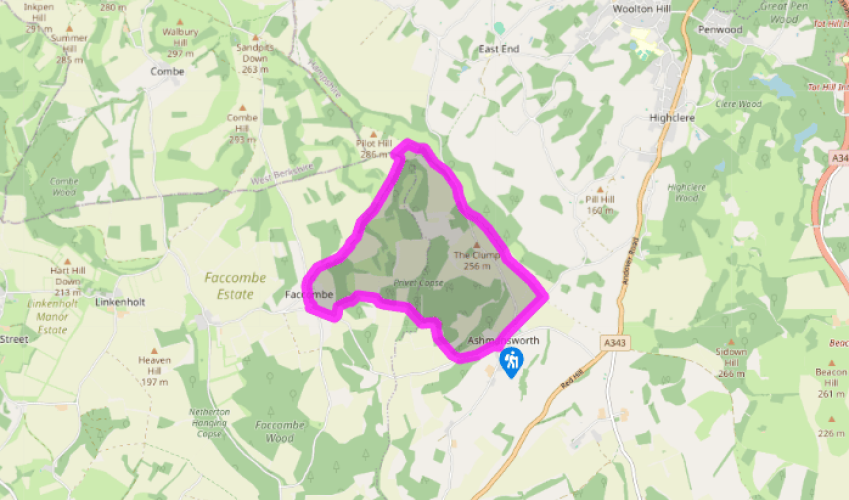
Downlands around Ashmansworth
Recommended by

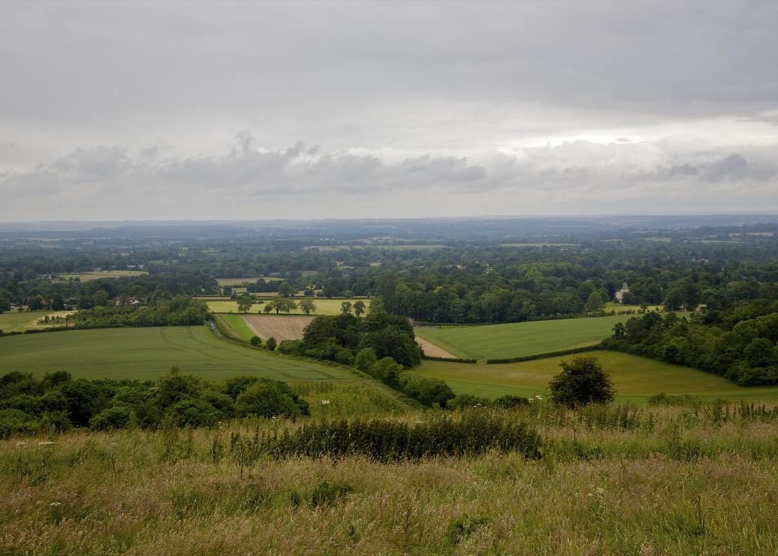
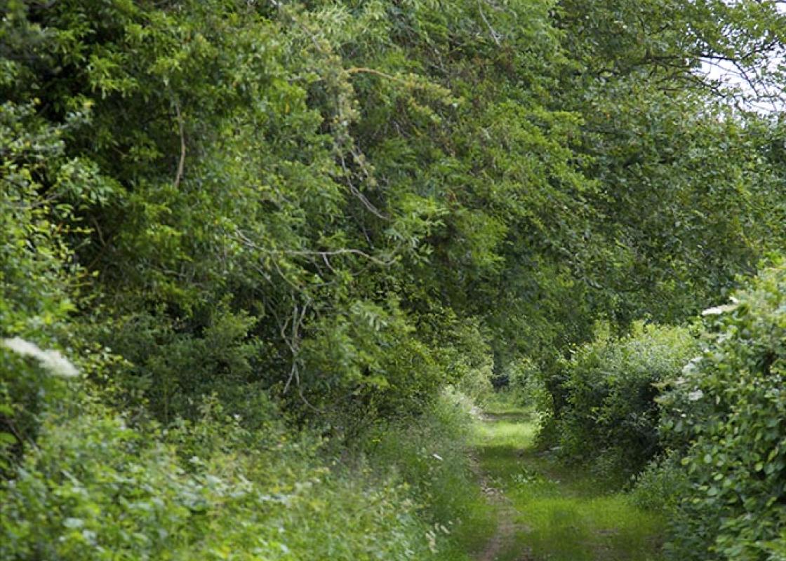
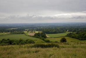
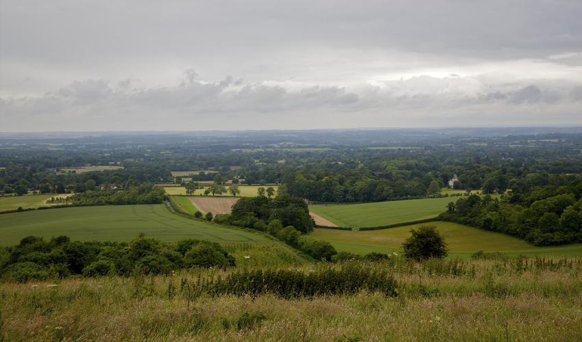
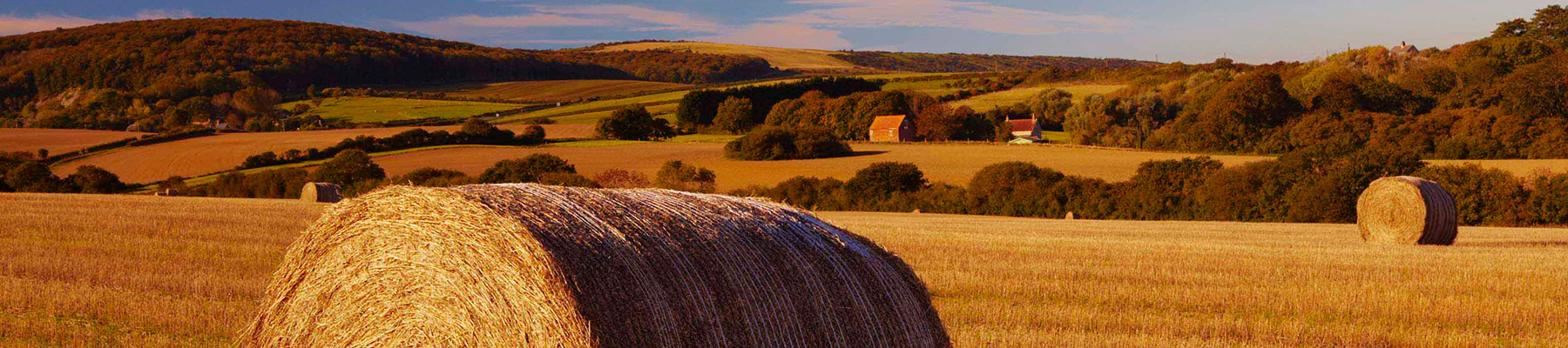
"The panoramas are breathtaking on this invigorating walk through the hidden combes and heady heights of the North Hampshire Downs."
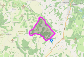
Walk directions
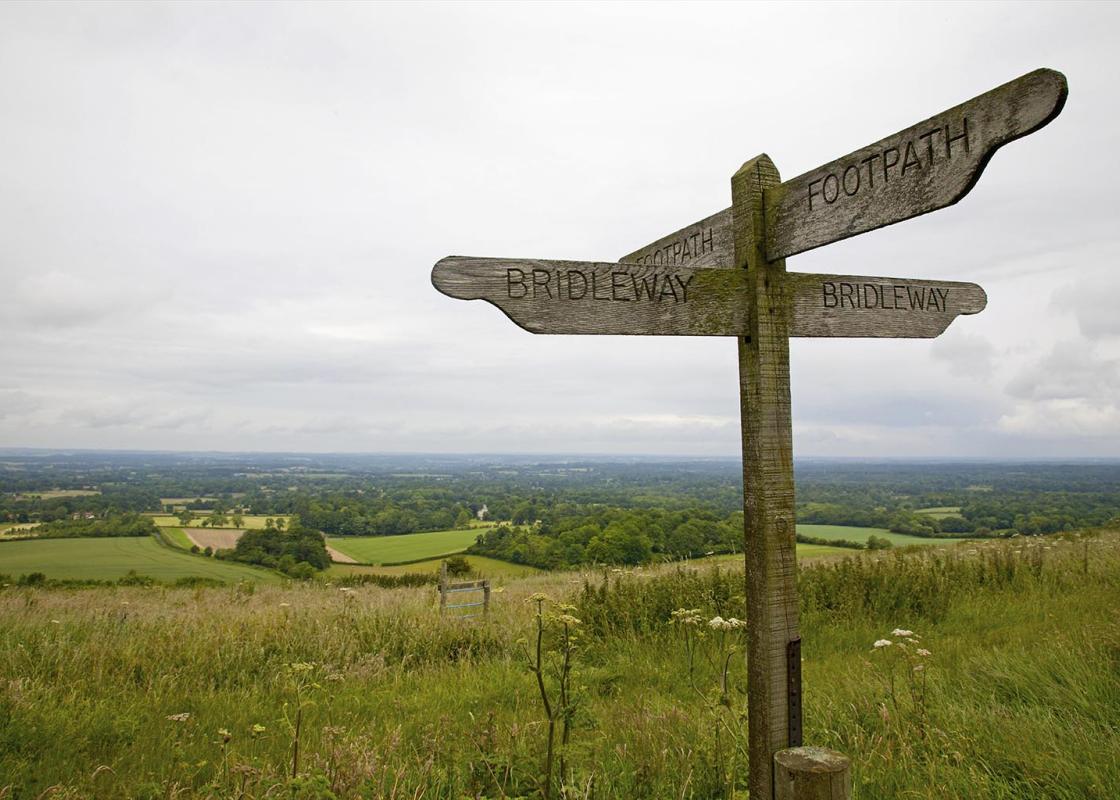
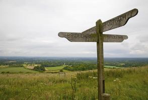
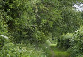
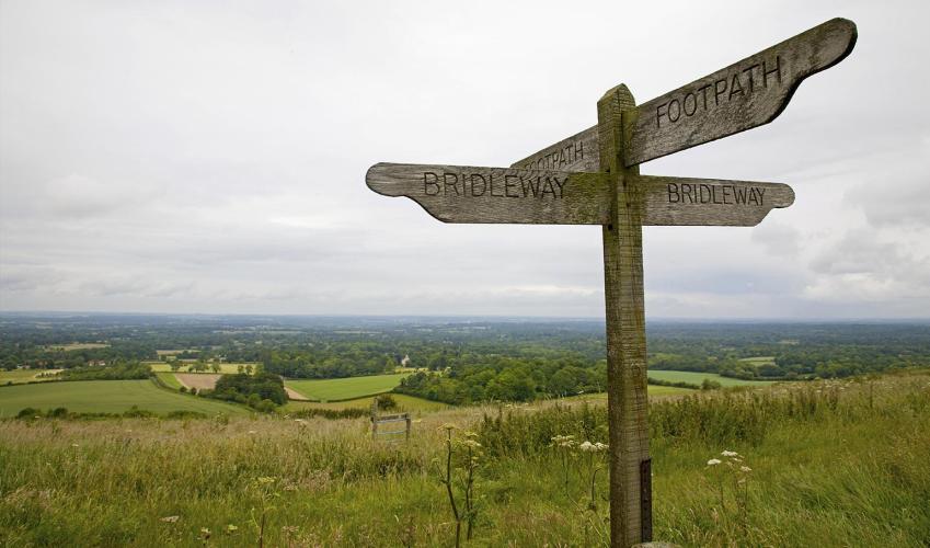
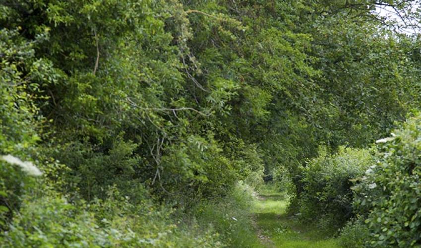
Walk north along the village street, keeping ahead at the fork, signed to ‘Newbury & Highclere’. In 0.25 miles (400m), just before you reach a house (Wychpits), turn left along a byway (Wayfarer’s Walk or WW). Keep to this ancient track along the ridge and beside Bunkhanger Copse to a lane.
Turn right and savour the far-reaching views north. In 0.25 miles (400m), bear off left with a WW marker and signed to Charldown, as the lane begins to descend. Follow the stony track along the ridge, passing Charldown and over a low gate, bearing left then right to walk along a field to a crossing of paths.
View all directions
Additional information
Terrain
- Ridge tracks, field paths and country road, 2 stiles
Landscape
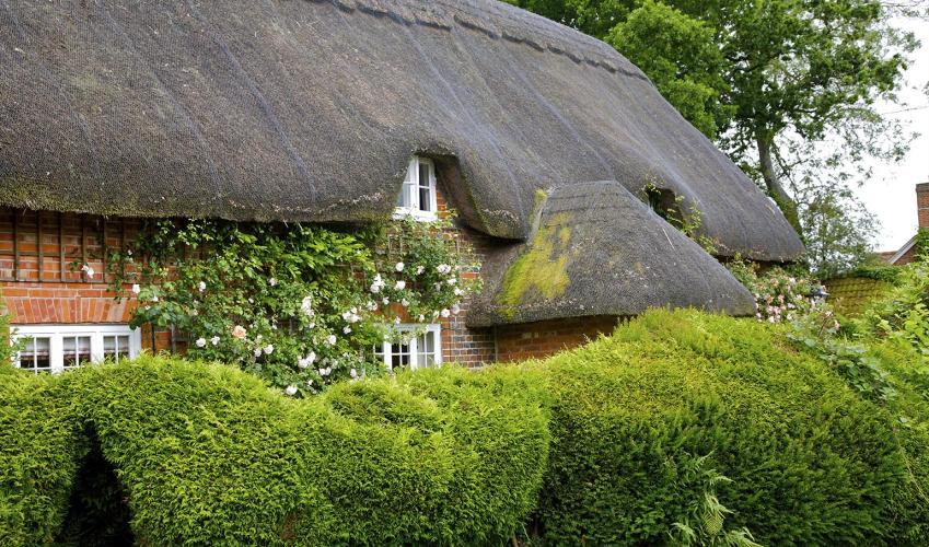
- Chalk downland, hidden combes and rolling farmland
Dog friendliness
- Can be off lead along ridge-top track
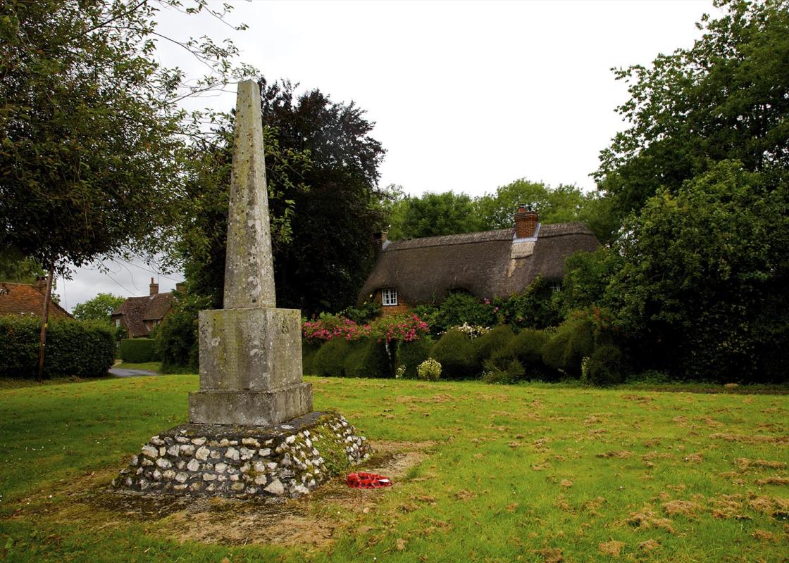
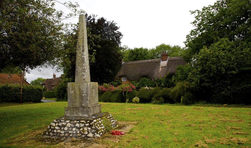
Parking
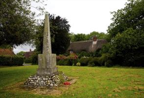
- Along village street near war memorial
Toilets en route
- None on route
About the walk
The far northwest corner of Hampshire is dominated by a stretch of high chalk downland tumbling across the Berkshire border close to Walbury Hill, the highest chalk hill in England at 947ft (288m). Commonly known as the North Hampshire Downs, this is a remote and peaceful area, with an impressive...
Read more

Been on this walk?
Send us photos or a comment about this route. Or recommend a route of your own.

Walking in Safety
Read our tips to look after yourself and the environment when following this walk.

Get an AA guide
Explore our range of ‘50 Walks in’ guides - they’re the ideal companion for a ramble.
Been on this walk?
Send us photos or a comment about this route. Or recommend a route of your own.
Walking in Safety
Read our tips to look after yourself and the environment when following this walk.
Get an AA guide
Explore our range of ‘50 Walks in’ guides - they’re the ideal companion for a ramble.
About the area
Hampshire’s varied landscape of hills and heaths, downlands and forests, valleys and coast are without rival in southern England. Hike across the chalk downland of the north Hampshire ‘highlands’, meander along peaceful paths through unspoilt river valleys of the Test, Itchen, Avon and Meon, or explore the lonely salt marshes and the beautiful medieval forest and heathland of the New Forest.
Nearby places to stay
View all (8)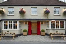


Nearby places to stay
Crown and Anchor
The Crown and Anchor is a delightful traditional country inn set in the peaceful village of Ham, within easy reach of both Hungerford and Marlborough. Complete with oak panelling and fl...
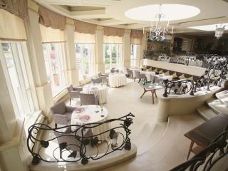
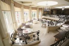
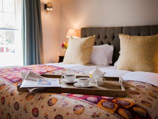
The Vineyard
The Vineyard is a haven of style in the Berkshire countryside. Bedrooms and suites come in a variety of styles, including many split-level suites that are well equipped with indulgent f...
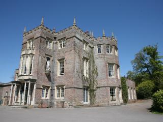
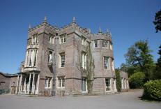
Donnington Grove
Situated on the outskirts of Newbury, overlooked by the ruins of Donnington Castle, this splendid manor house, a popular wedding venue, offers comfortable bedrooms in a variety of style...
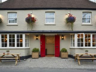
The White Hart, Overton
Located in the picturesque Hampshire village of Overton, The White Hart is reputedly the oldest inn in the village. The inn offers well-appointed bedrooms – some are in what was once th...
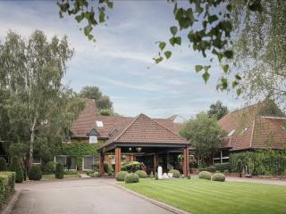
Donnington Hotel, Spa & Golf
In its own grounds complete with an 18-hole golf course, Donnington Hotel, Spa & Golf boasts excellent facilities for both corporate and leisure guests; from the state-of-the-art spa of...
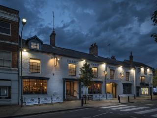
Three Swans
Centrally located in the bustling market town of Hungerford, this charming former inn dates back some 700 years. Visitors will still see original arch under which the horse-drawn carria...
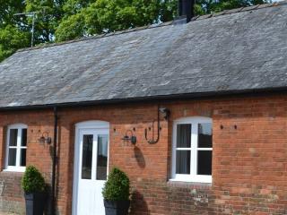
The Stables at Manor Farm
The two converted farm buildings at Manor Farm are light and bright, but still have a cosiness about them. They are in East Grafton, a short walk away and with access to open countrysid...
The Bunk Inn
The Bunk Inn is a quintessential English pub set in the pretty village of Curridge, close to Newbury Racecourse. The en suite bedrooms have plenty of character and offer good comfort. G...
Places to eat nearby View all