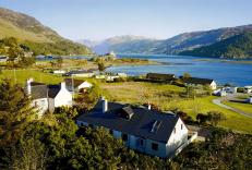
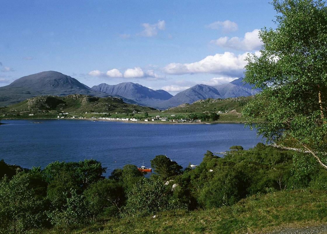
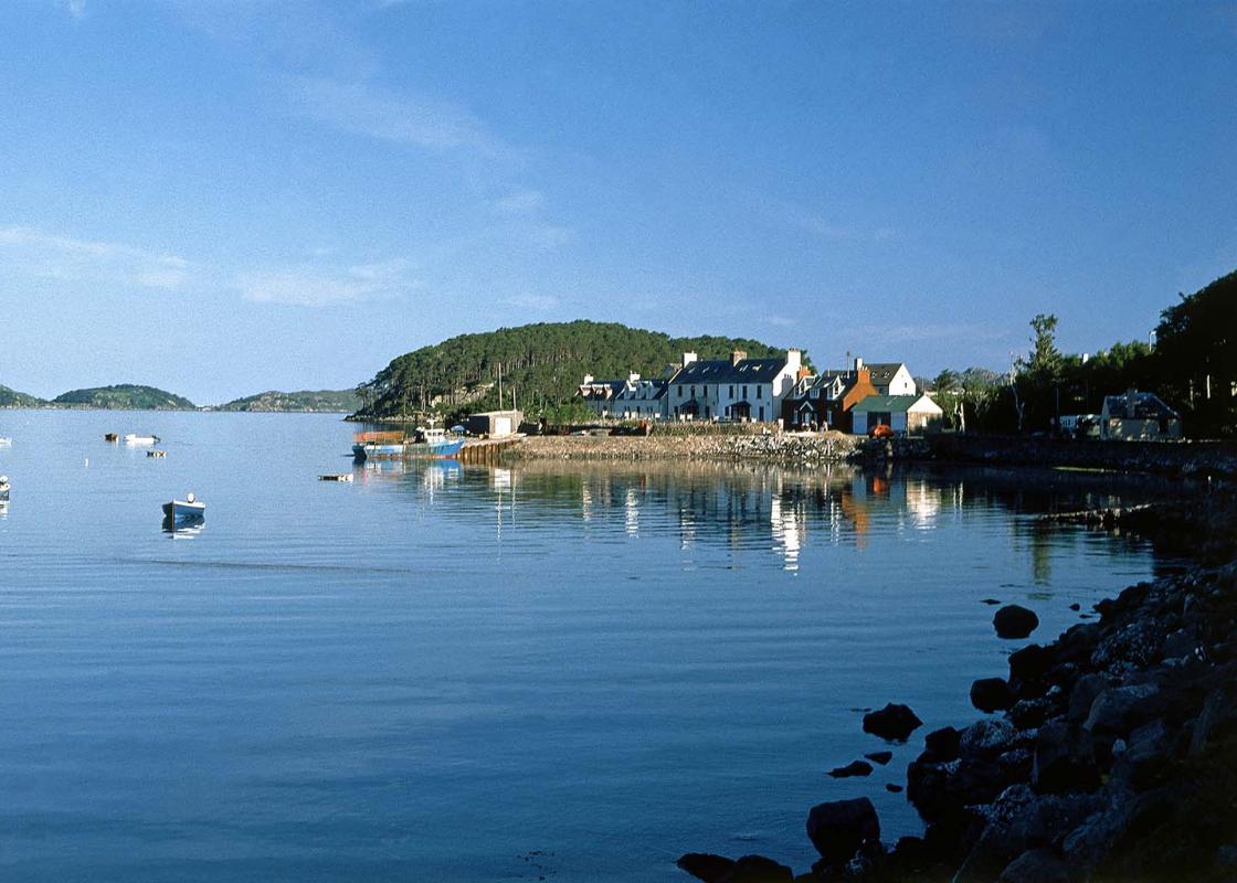
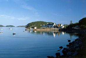
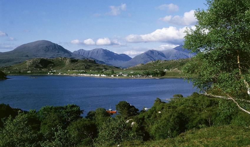
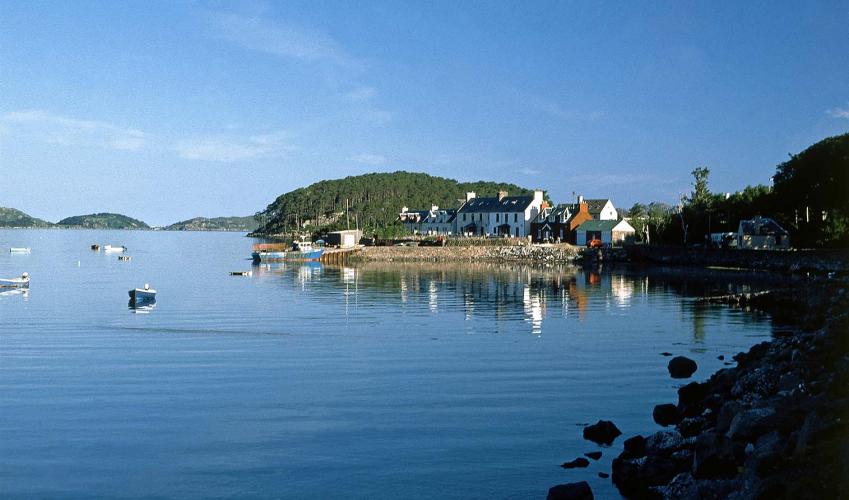
The shores of Loch Shieldaig
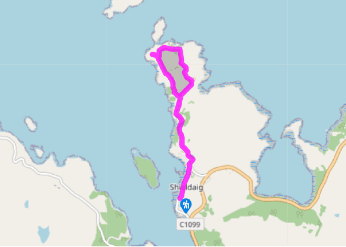
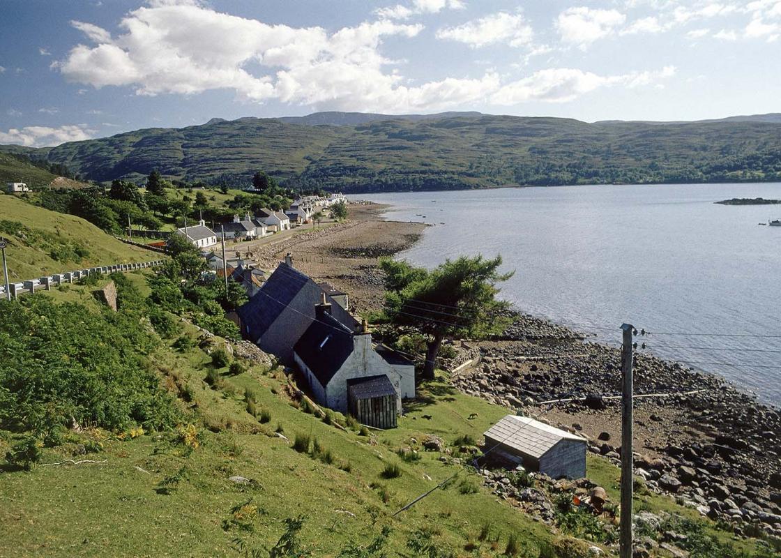
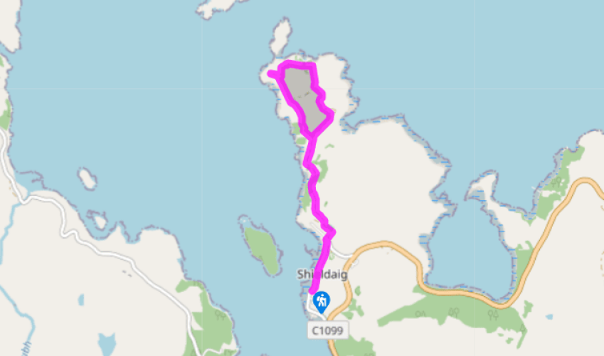
Follow the street along the shoreline past a cannon salvaged from the Spanish Armada of 1588. At the village end it rises slightly, with another parking area, and a war memorial above on the right.
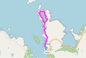
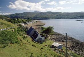
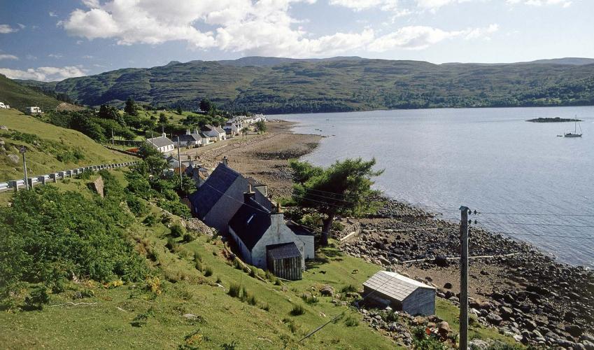
At the road hairpin, go up to the right of the school. The track bends left below a tennis court. In another 100yds (91m) it divides; here the main track for Rubha Lodge forks off left, but your route bears right, passing to the right of a glacier-smoothed rock knoll. The track runs through birch woods at first, with Loch Shieldaig below on the left. It ends above a rocky bay with a holiday shack. A wide path continues above a second bay, then strikes across a peat bog, bright in mid-summer with bell heather and the fluffy white tops of cotton grass. In the middle of this flat area it divides at a cairn.
The right-hand path runs along the edge of the peaty area, with rocky ground above on its left, then next to birch trees for 50yds (46m). Look out for the point where its pink gravel surface becomes peaty, with a rock formation like a low ruin on the right, because here is an easily missed path junction.
What seems like the main footpath, ahead and slightly downhill, peters out eventually. The correct path forks off to the left, slanting up to the higher ground just above. The path crosses slabby ground in the direction of the peninsula’s trig point, 0.25 miles (400m) away. After 220yds (201m) it rises slightly to a gateway in a former fence. Aiming to the right of the trig point, it crosses a small heather moor. A path joins from the left, then at a broken wall, it turns down right through a gap to the top of a grassy meadow. The first of the two shoreline cottages, Bad-callda, is just below. A rough path leads to the left across the boggy top of the meadow and above a birchwood, with the trig point just above on the left. Keep going forward at the same level to a heather knoll, with a pole on it. Just below you is a second cottage, Camas-ruadh.
The footpath zig-zags down to the right between rocks, with a chain for support. White paint spots lead round to the right of the cottage and its big green shed. Turn left behind the shed to turn left on a well-made path. At once, a small path turns back right, for a clifftop viewpoint at the corner of the peninsula. Return to the main path, which is easy to follow, mostly along the top of the slope dropping to the right to Loch Shieldaig. After 0.5 miles (800m) it rejoins the outward route at the cairn, Point 3.
Been on this walk?
Send us photos or a comment about this route. Or recommend a route of your own.
Walking in Safety
Read our tips to look after yourself and the environment when following this walk.
Get an AA guide
Explore our range of ‘50 Walks in’ guides - they’re the ideal companion for a ramble.
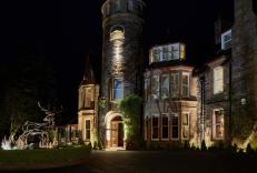
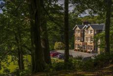
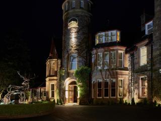
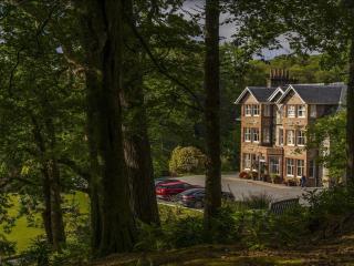
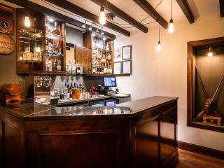
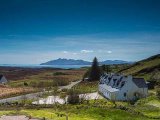
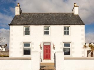
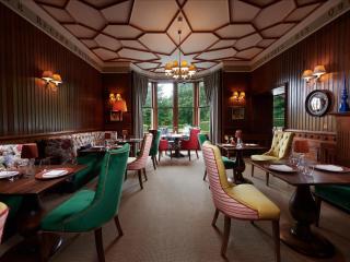
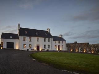
Nearby places to stay
View all (8)
- Family rooms: 0
- WiFi available
- Lift available
- Family rooms: 1
- Free TV
- WiFi available


