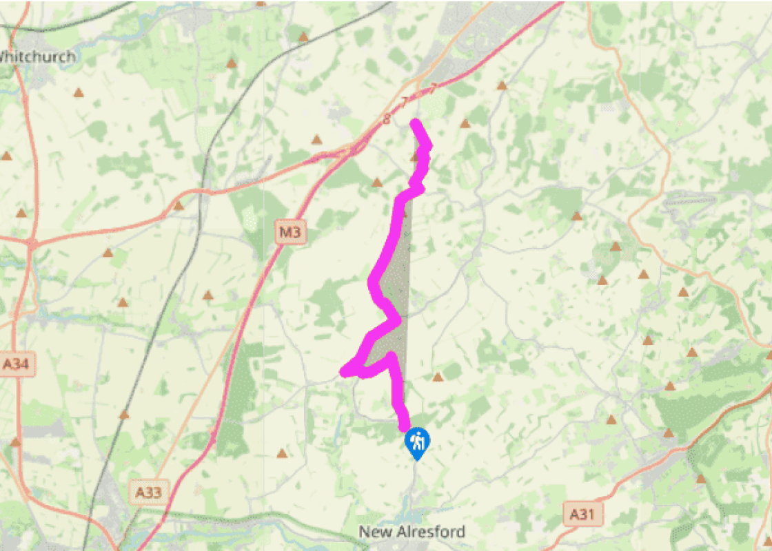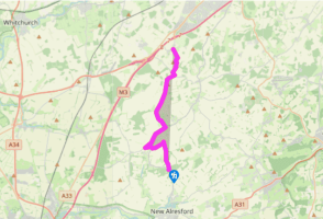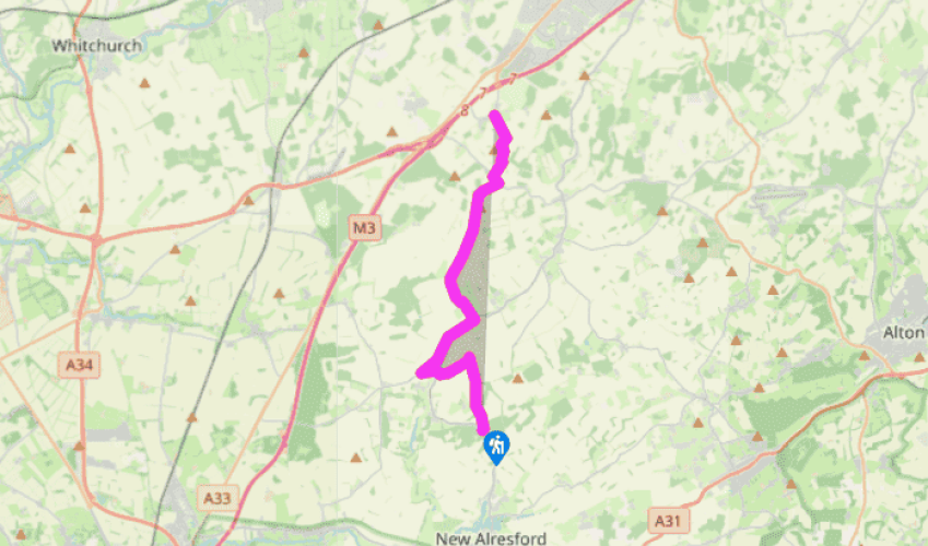
Wayfarer's Walk: Abbotstone Down to Dummer
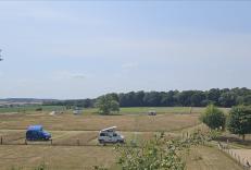
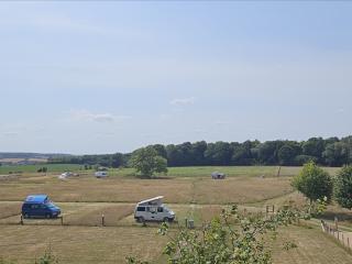
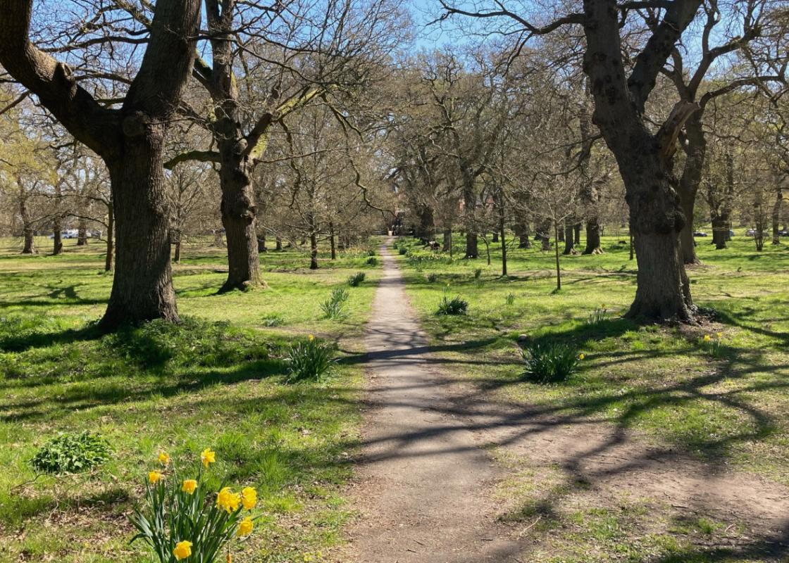
From the car park at Abbotstone Down, continue straight on over the road, passing beside Oliver’s Battery, an Iron Age defensive settlement where the earthworks can still be seen. Its name is a reference to Cromwell, of course, though it is not clear if this particular fort was in use during the English Civil War. The route continues along a wide track known as Spybush Lane, heading north with fine views over farmland and woodland to the east. Passing by a belt of trees it joins a hard farm track leading between fields towards Brown Candover.
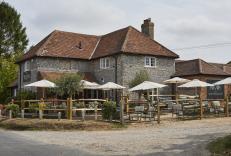
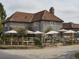
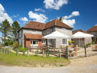
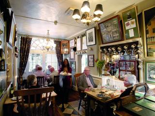
However, as it approaches farm outbuildings, the trail turns left along a track to reach Totford, though the more direct route to Brown Candover is right, then left by the buildings, emerging on to the road near the church. The track to Totford is called the Lunway, and at the Woolpack Inn, now an expensive gastropub with rooms, sheep drovers often broke their journey en route to Farnham market. They ate and drank at the inn while their sheep were penned in the adjoining fields. At Totford the walk crosses the B3046 and then heads north to join a lane on the outskirts of Brown Candover.

Been on this walk?
Send us photos or a comment about this route. Or recommend a route of your own.

Walking in Safety
Read our tips to look after yourself and the environment when following this walk.

Get an AA guide
Explore our range of ‘50 Walks in’ guides - they’re the ideal companion for a ramble.
Been on this walk?
Send us photos or a comment about this route. Or recommend a route of your own.
Walking in Safety
Read our tips to look after yourself and the environment when following this walk.
Get an AA guide
Explore our range of ‘50 Walks in’ guides - they’re the ideal companion for a ramble.
Nearby places to stay
View all (8)