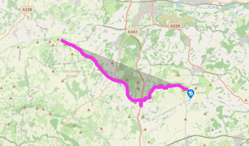
Wayfarer's Walk: White Hill to Inkpen Beacon
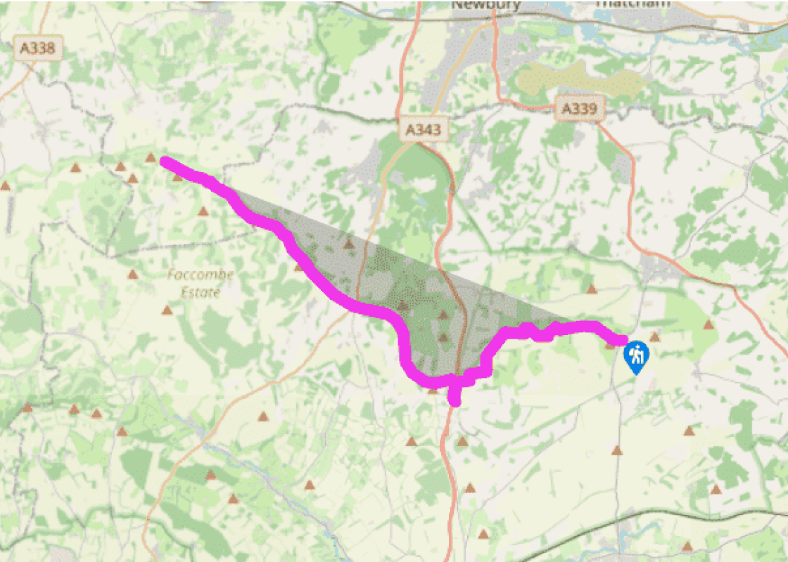
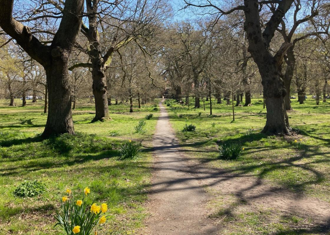
From the White Hill car park cross the B3051 and head west over Cannon Heath Down. The terrain is a mix of grass and chalk. The chalk drains away any rainwater, so it is never too wet for walking and is equally suitable for the racehorse gallops, which can be seen from the track. The views are magnificent as you head for Watership Down. It was the author Richard Adams who chose this lonely hillside as the setting for his magical story of rabbits who journey here in search of a new home when their ancient warren is threatened with destruction. Published in 1972, the book became a worldwide bestseller. Passing a trig point at 777ft (237m) on top of Watership Down, the route follows a path downhill by trees and then crosses a quiet lane to a fine avenue of beech trees opposite.
Follow the avenue and down to the right, at the foot of the escarpment, is Sydmonton Court, the country home of the composer Andrew Lloyd-Webber. Beyond the beech trees the Wayfarer’s Walk crosses Ladle Hill, an Iron Age fortification, which together with the fort on nearby Beacon Hill, defended the ancient route that is now the A34. The Wayfarer’s Walk heads southwest over Great Litchfield Down to reach a footpath and bridleway waymark just before the busy A34.

Been on this walk?
Send us photos or a comment about this route. Or recommend a route of your own.

Walking in Safety
Read our tips to look after yourself and the environment when following this walk.

Get an AA guide
Explore our range of ‘50 Walks in’ guides - they’re the ideal companion for a ramble.
Been on this walk?
Send us photos or a comment about this route. Or recommend a route of your own.
Walking in Safety
Read our tips to look after yourself and the environment when following this walk.
Get an AA guide
Explore our range of ‘50 Walks in’ guides - they’re the ideal companion for a ramble.
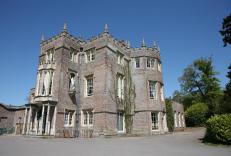
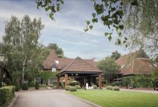
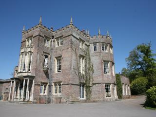
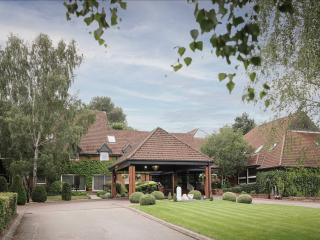
Nearby places to stay
View all (8)