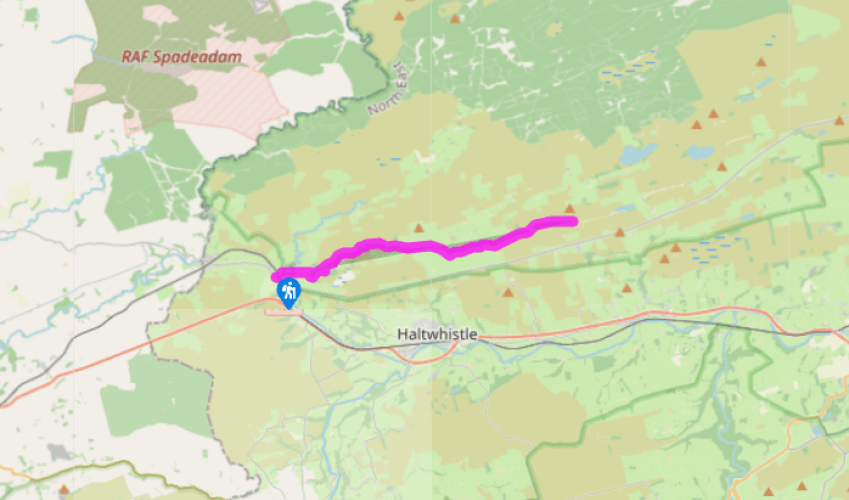
Pennine Way: Greenhead to Steel Rigg
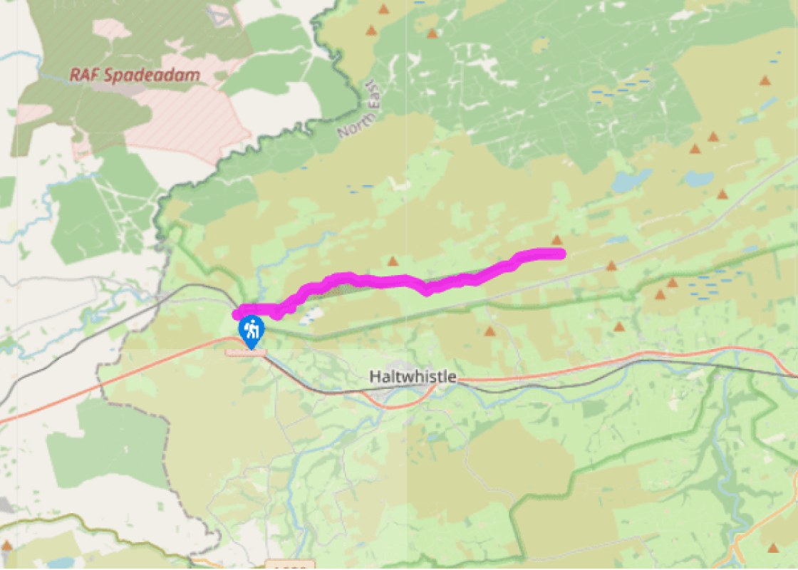
From the west side of Greenhead, at a terrace of redbrick cottages where the Pennine Way is picked up continue forward leaving the road at a gate beside the cottages, crossing the Newcastle–Carlisle railway line and a footbridge over a little burn and then following an old hedge-line beside the Tipalt Burn. The stream is attractive, lined with sallows and sycamore beneath which grow primroses, anemones and butterbur. The pasture to the left is usually inhabited by an assortment of sheep breeds, including local specialties such as the Border Leicester. Hadrian’s Wall crossed the gap of the Tipalt Burn at this point but nothing is visible.
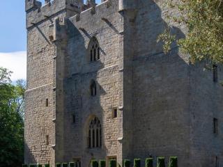
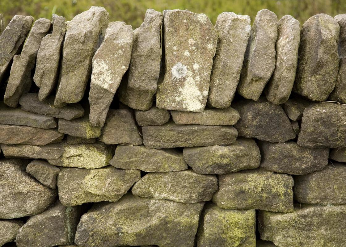
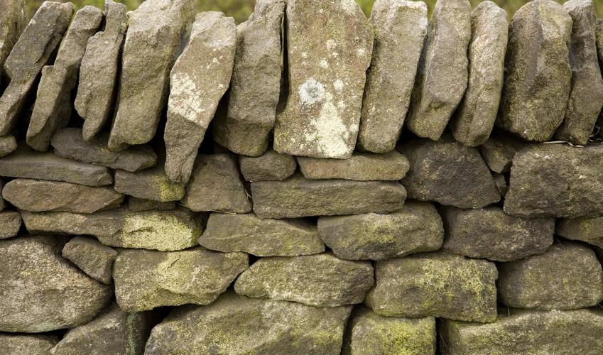
The route meets a track and turns right at Duffenfoot, over a footbridge. Once across the Tipalt and climbing the winding walled track on the other side, it is possible to look back for a romantic view of the ruins of Thirlwall Castle. At the top of the track, with a line of trees on the left, the route crosses a stile by a gate and heads uphill beside a deep grassy ditch. This is the ditch excavated by the Romans on the north side of Hadrian’s Wall to hamper any attack by the Caledonian tribes. The wall itself has been dismantled; an ordinary drystone wall marks its course. At the top of the hill it is time to stop to orientate yourself by the views. If the air is fresh it should be possible to see Blenkinsopp Common and Cross Fell (the radio transmitting station on Great Dun Fell is distinctive; beside it is Little Dun Fell, then the more extensive low dome of Cross Fell at 2,930ft (893m). Looking eastwards, it should now be possible to see the dark grey cliff-face of the Great Whin Sill. Hadrian’s Wall follows the crest of this famous igneous intrusion for several miles, making the most of its daunting scarp slope. Beyond the field on the right, as the route continues eastwards, is the Museum of the Roman Army and the remains of one of Agricola’s forts, called Carvoran. This was built to protect the east–west road known as the Stanegate but was later employed as a garrison fort for the wall.

Been on this walk?
Send us photos or a comment about this route. Or recommend a route of your own.

Walking in Safety
Read our tips to look after yourself and the environment when following this walk.

Get an AA guide
Explore our range of ‘50 Walks in’ guides - they’re the ideal companion for a ramble.
Been on this walk?
Send us photos or a comment about this route. Or recommend a route of your own.
Walking in Safety
Read our tips to look after yourself and the environment when following this walk.
Get an AA guide
Explore our range of ‘50 Walks in’ guides - they’re the ideal companion for a ramble.
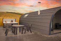
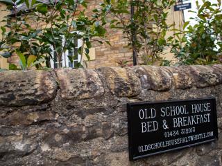
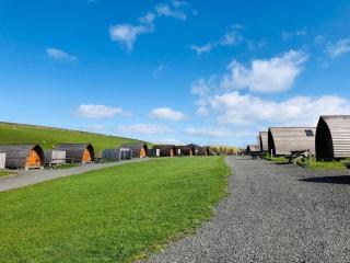
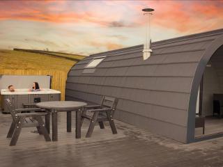
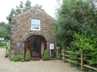
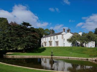
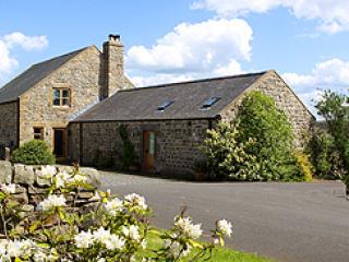
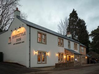
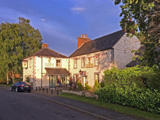
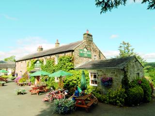
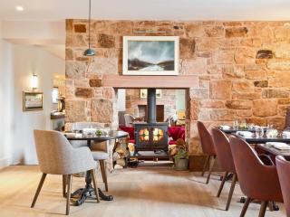
Nearby places to stay
View all (8)


- Launderette
- Ice pack facility
- BBQ
- Picnic Area