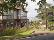
A woodland walk at Wootton Bridge
Recommended by

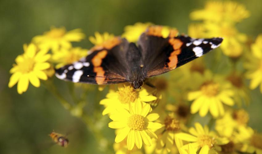
"A history trail through wildlife-rich ancient woodlands on the Isle of Wight."
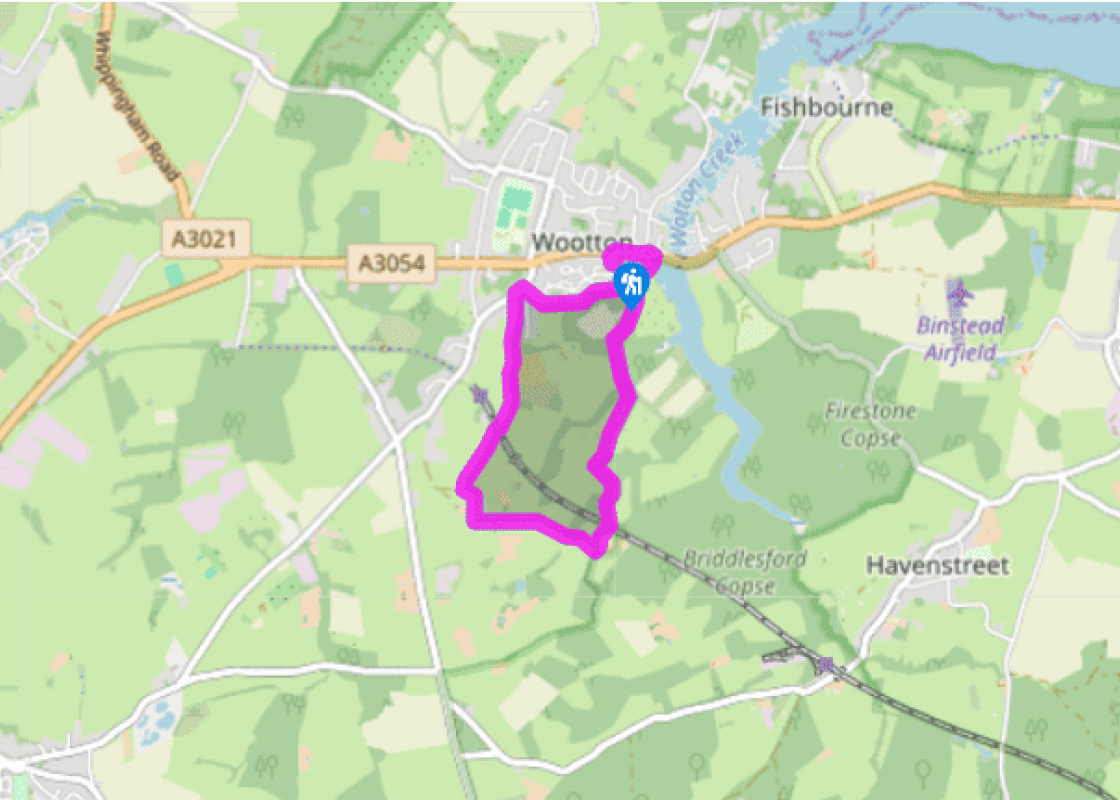
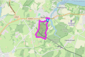
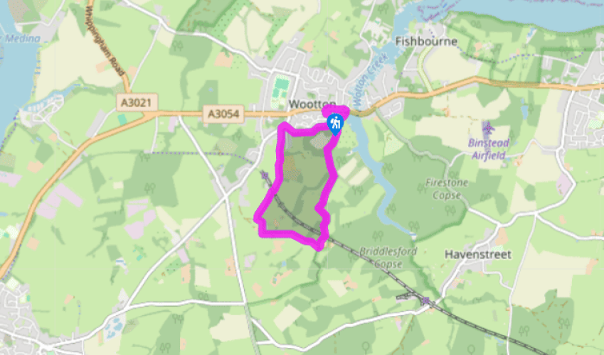
Walk directions
Leave the car park and turn right into Brannon Way, then go right down the hill as far as the old Mill Pond. Turn right along public bridleway N1, fork right after 100yds (91m) and then left onto a gravel track at Fernhill Park Woodland Burial Grounds. Go through the gate, follow the track past Hurst Copse and the old ice house on the right, and then go past Briddlesford Parkland, continuing straight ahead.
Walk through the shallow valley and climb to the railway level crossing. Keep ahead on N1 for 175yds (160m) through a gate, then bear right past the entrance to Woodhouse Farm and continue for a few more paces, until the track bends left.
View all directions
Additional information
Terrain
- Mostly gravel and surfaced tracks with a short cross-field section, 2 stiles
Landscape
- Rolling wooded farmland
Dog friendliness
- Lead required across the fields between Woodhouse and Little Mousehill farms
Parking
- Pay-and-display car park in Brannon Way
Toilets en route
- Next to the car park
About the walk
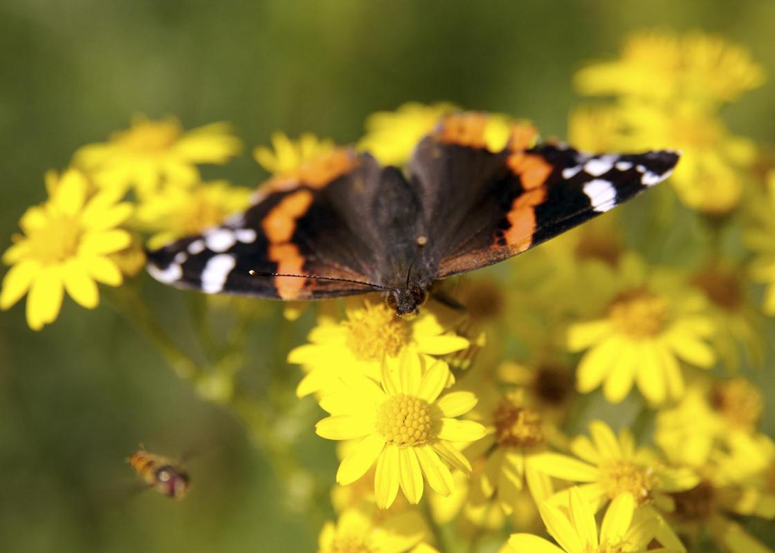
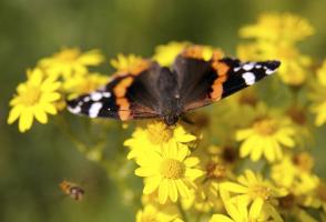
Dividing Wootton Creek from the placid waters of the old Mill Pond, Wootton Bridge is a charming spot. Your route leads quickly away from the bustling main street, passing through farmland and quiet woodlands that are numbered among England’s finest wildlife sites.You’ll pass through Hurst Copse...
Read more

Been on this walk?
Send us photos or a comment about this route. Or recommend a route of your own.

Walking in Safety
Read our tips to look after yourself and the environment when following this walk.

Get an AA guide
Explore our range of ‘50 Walks in’ guides - they’re the ideal companion for a ramble.
Been on this walk?
Send us photos or a comment about this route. Or recommend a route of your own.
Walking in Safety
Read our tips to look after yourself and the environment when following this walk.
Get an AA guide
Explore our range of ‘50 Walks in’ guides - they’re the ideal companion for a ramble.
About the area
Small and intimate – at just 23 miles by 13 miles, the Isle of Wight is a popular holiday destination; with its mild climate, long hours of sunshine and colourful architecture, it has something of a continental flavour. Visitors can walk along the island’s varied coastline using the well-established Coast Path or step back in time to explore the island’s history at some of the forts and castles.

Nearby places to stay
View all (8)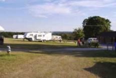
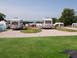
Caravan & Camping
Kite Hill Farm Caravan & Camping Park

- Launderette
- Ice pack facility
- Calor Gas
- Camping Gaz


Nearby places to stay
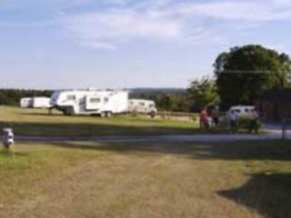
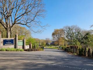
Kite Hill Farm Caravan & Camping Park
This traditional park, on a gently sloping field, is tucked away adjacent to the owners' farm, just a short walk from the village and attractive river estuary. The facilities are of a g...

The Fishbourne
The Fishbourne is located in a picturesque and wooded enclave between the main towns of Ryde and Newport on the Isle of Wight. Situated close to the Wightlink Fishbourne to Portsmouth f...
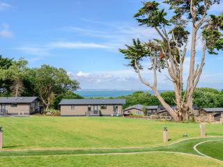
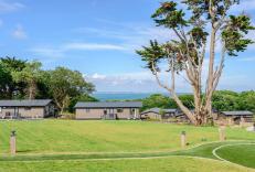
Woodside Bay Lodge Retreat
Woodside Bay Lodge Retreat offers guests the peace and tranquility to 'get away from it all' being set in a most peaceful and tranquil location and some lodges benefitting from spectacu...
Woodside Bay Lodge Retreat
This luxury park is located on the north-east shore of the Isle of Wight near Wootton Bridge – the setting is absolutely fabulous and the sloping terrain offers lovely views over the So...
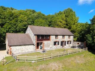
Knighton Gorges
Located in an Area of Outstanding Natural Beauty and set in two acres of grounds, Knighton Gorges offers space, peace and comfort, with views across the Yar Valley to the Ventnor Downs....
Knighton Gorges
Located in an Area of Outstanding Natural Beauty and set in two acres of grounds, Knighton Gorges offers space, peace and comfort, with views across the Yar Valley to the Ventnor Downs....
Waverley Park Holiday Centre
A very well situated family park offering some extremely good sea views. Tiered grounds offering very good locations for enjoying the surrounding area....
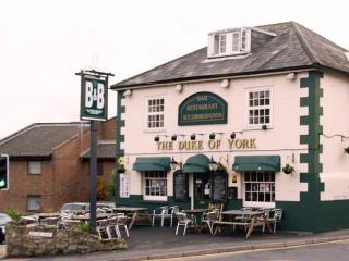
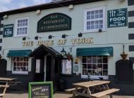
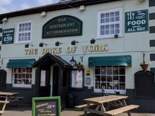
Duke of York Inn
The Duke of York , a very welcoming family-run inn for many years. Ideally located only a short walk from the chain ferry & Cowes boating community & close to the centre. Comfortable en...
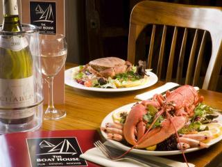
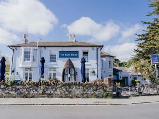
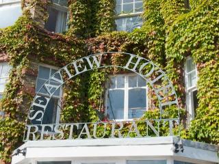
Places to eat nearby View all