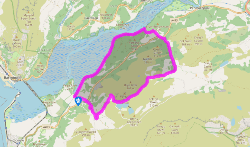
Arthog and the Mawddach Estuary
Recommended by

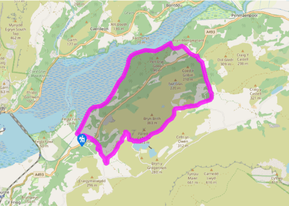
"Along the Arthog Falls to Cregennen Lakes, returning along the Mawddach estuary"
Walk directions
From the car park, turn right, heading back up the lane. Take a path on the left and follow an embankment across fields towards St Catherine’s Church. Turn left for a short distance and carefully cross the road to a footpath sign opposite the church.
Climb steeply to a track. Keep ahead for a few paces, then bear right at a marker post to continue climbing steeply through woodland. Below on the left you will now be able to see and hear the Arthog Waterfalls. You eventually emerge on a track with a house visible above and to the right.
View all directions
Additional information
Terrain
- Clear paths, tracks, minor roads and a cycle path
Landscape
- Oak woods, heather moorland, river estuary
Dog friendliness
- Could run free in woods and away from livestock
Parking
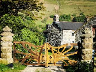
- Free car park at Arthog, down a gated lane off the A493
Toilets en route
- Just off the walk route, at the car park for Llynnau Cregennen
About the walk
Arthog today is a peaceful village on the shores of the Mawddach, but in the late 19th century, a developer from Cardiff, Solomon Andrews, had ambitious plans to build a bustling holiday resort on the estuary. His scheme was foiled by the underlying bogginess of the ground. Only two rows of houses...
Read more

Been on this walk?
Send us photos or a comment about this route. Or recommend a route of your own.

Walking in Safety
Read our tips to look after yourself and the environment when following this walk.

Get an AA guide
Explore our range of ‘50 Walks in’ guides - they’re the ideal companion for a ramble.
Been on this walk?
Send us photos or a comment about this route. Or recommend a route of your own.
Walking in Safety
Read our tips to look after yourself and the environment when following this walk.
Get an AA guide
Explore our range of ‘50 Walks in’ guides - they’re the ideal companion for a ramble.
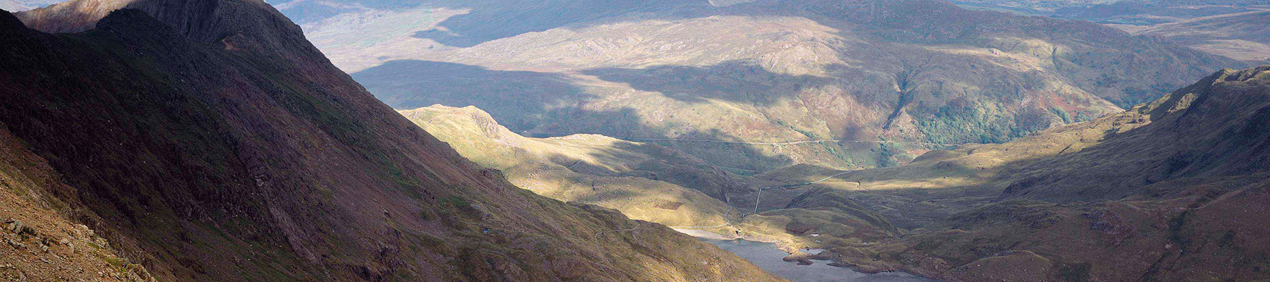
About the area
The county of Gwynedd is home to most of the Snowdonia National Park – including the wettest spot in Britain, an arête running up to Snowdon’s summit that receives an average annual rainfall of 4,473mm. With its mighty peaks, rivers and strong Welsh heritage (it has the highest proportion of Welsh-speakers in all of Wales), it’s always been an extremely popular place to visit and live.
Nearby places to stay
View all (8)


Caravan & Camping
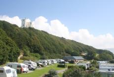
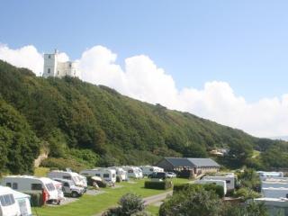
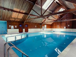
Hendre Mynach Touring Caravan & Camping Park
- Launderette
- Ice pack facility
- Shop onsite
- Wifi available
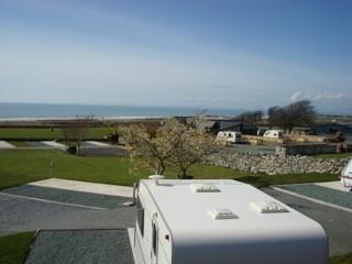
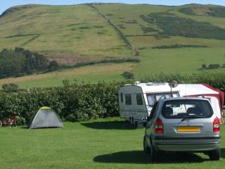
Caravan & Camping
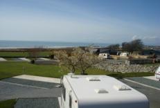
Trawsdir Touring Caravans & Camping Park
- Launderette
- Ice pack facility
- BBQ
- Picnic Area
Nearby places to stay

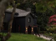
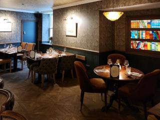
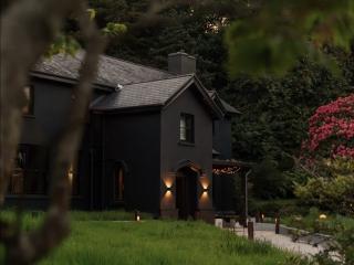
The Fanny Talbot
First impressions at the Fanny Talbot might suggest a mere seaside resort pub, but this recently launched dining venue offers fabulous interiors, plenty of comfort and a gastro dining r...
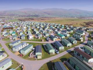
Hendre Mynach Touring Caravan & Camping Park
A constantly improving site where the enthusiastic owners invest year on year to enhance the customer experience. Although there is a steep decent to the arrivals' area, staff are alway...
Trawsdir Touring Caravans & Camping Park
Well run by the owners, this quality park enjoys spectacular views to the sea and hills, and is very accessible for motor traffic. The facilities are appointed to a very high standard, ...
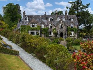
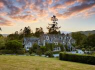
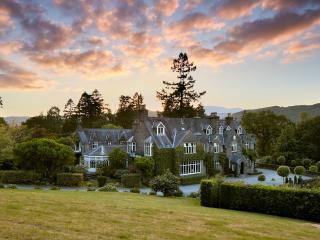
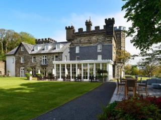
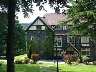
Penmaenuchaf Dolgellau
Set under the imposing Cadair Idris and overlooking the Mawddach estuary, Penmaenuchaf is a comfortable retreat enjoying peace, fantastic views and dark skies. The house has long been w...
Islawrffordd Caravan Park
Situated on the coast between Barmouth and Harlech and within the Snowdonia National Park, this site has clear views of Cardigan Bay, the Llŷn Peninsula and the Snowdonia and Cader Idri...
Barmouth Bay Holiday Park
With a mountain backdrop and direct access to miles of sandy beaches, Barmouth Bay Holiday Park is an ideal location for escaping from the pressures of everyday life. Holiday homes are ...

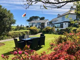
Dolgun Uchaf Bed & Breakfast
Dolgun Uchaf Bed & Breakfast is located in a peaceful area with stunning views of the surrounding countryside. This 500-year-old property was a rich history including a time as a Quaker...
Ynysymaengwyn Caravan Park
A lovely park set in the wooded grounds of a former manor house, with designated nature trails through 13 acres of wildlife-rich woodland, scenic river walks, fishing and a sandy beach ...
Places to eat nearby View all