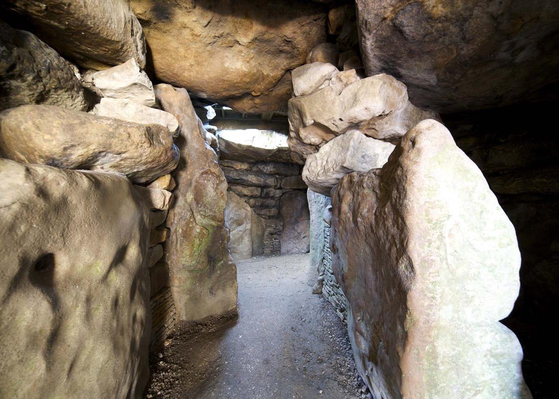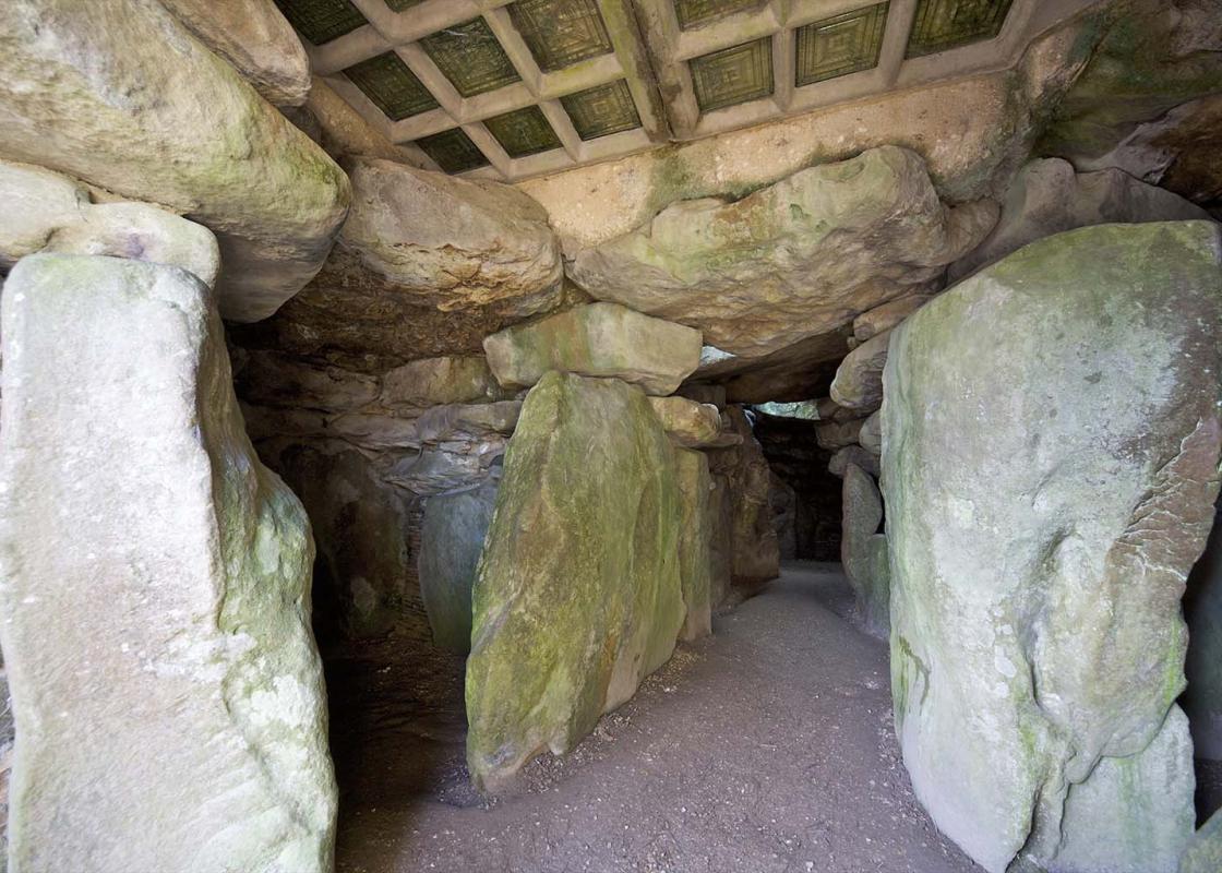
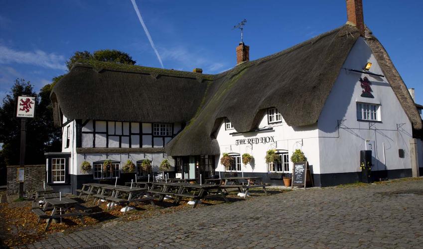
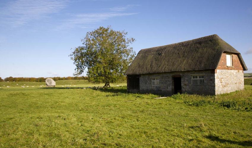

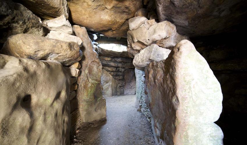
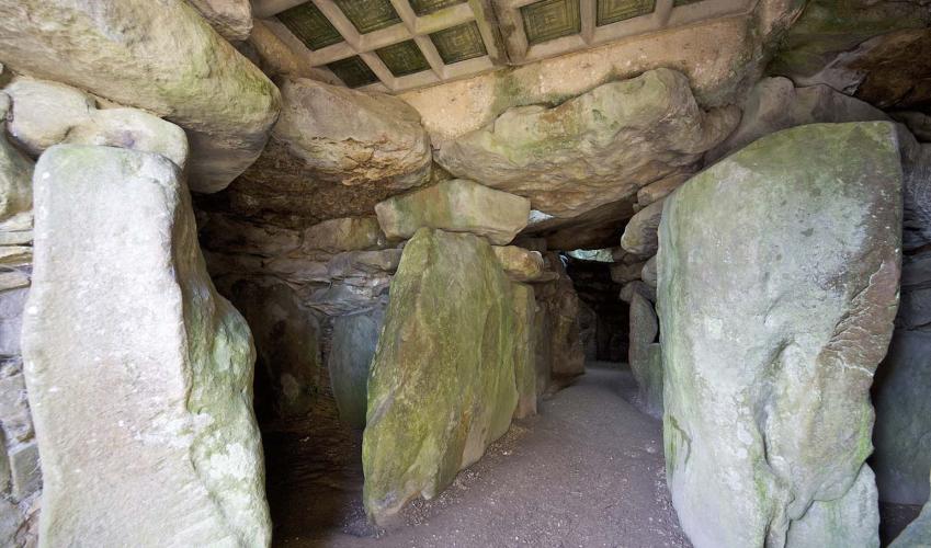
Avebury Stone Circle
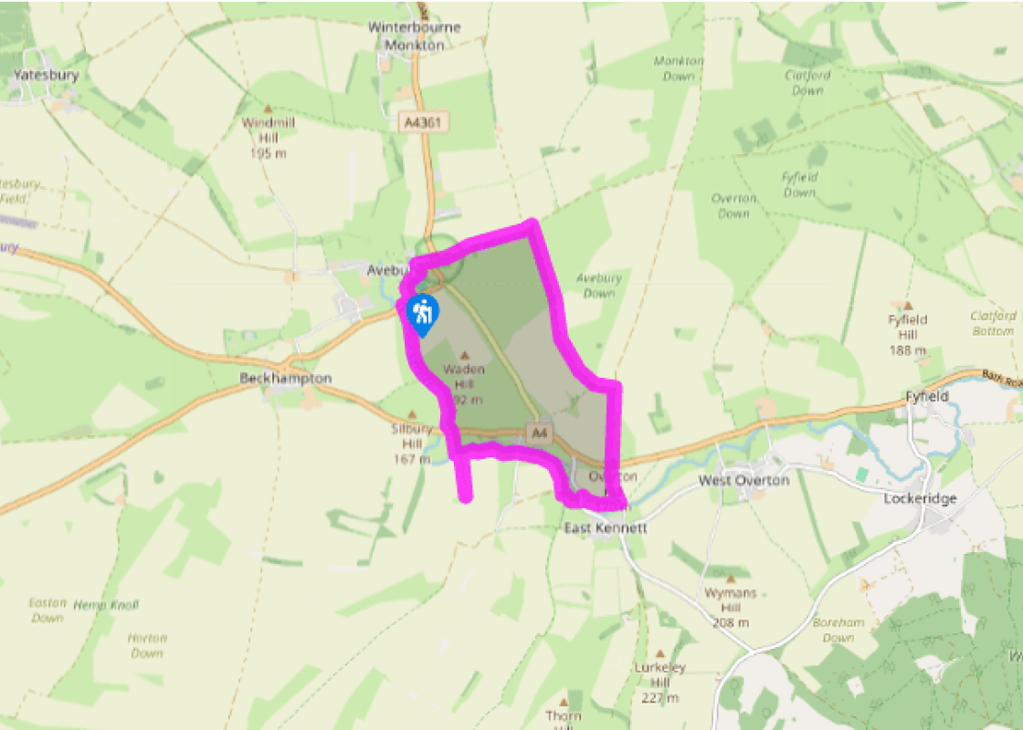
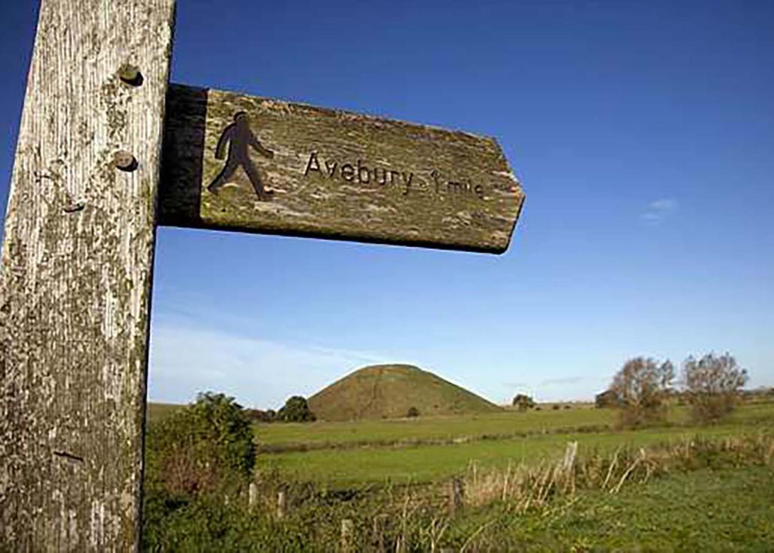
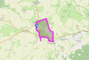
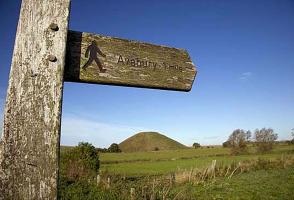
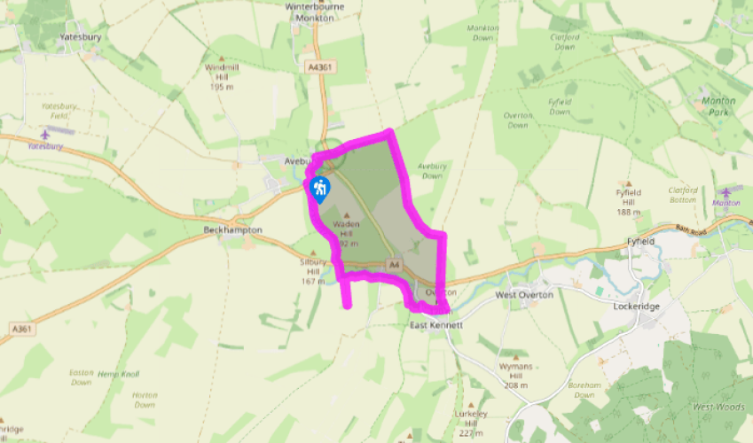
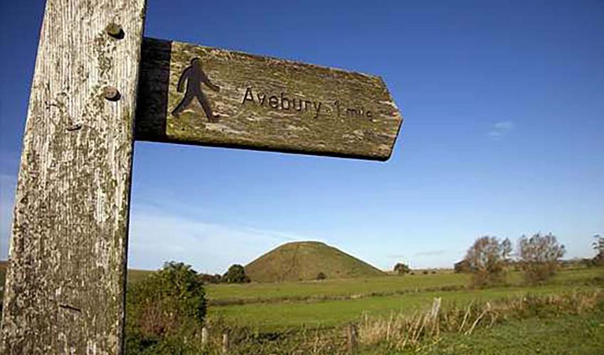
From the National Trust car park walk to the main road and turn right. In 50yds (46m), cross and go through a gateway with a blue bridleway arrow. Pass through another gate and follow the path alongside the river. Go through two more gates and cross two stiles, passing Silbury Hill.
Beyond a gate, walk down the right-hand field-edge to a gate and the A4. Cross over and turn left, then almost immediately right through a gate. Walk down the wide path and cross a bridge over a stream. Go through a kissing gate and turn sharp left.

Been on this walk?
Send us photos or a comment about this route. Or recommend a route of your own.

Walking in Safety
Read our tips to look after yourself and the environment when following this walk.

Get an AA guide
Explore our range of ‘50 Walks in’ guides - they’re the ideal companion for a ramble.
Been on this walk?
Send us photos or a comment about this route. Or recommend a route of your own.
Walking in Safety
Read our tips to look after yourself and the environment when following this walk.
Get an AA guide
Explore our range of ‘50 Walks in’ guides - they’re the ideal companion for a ramble.

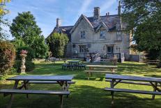
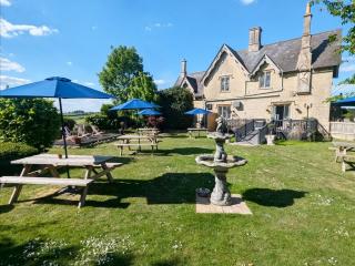
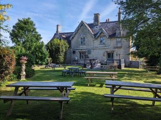
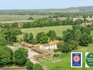
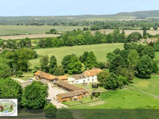
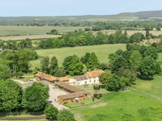
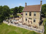
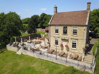
Nearby places to stay
View all (8)