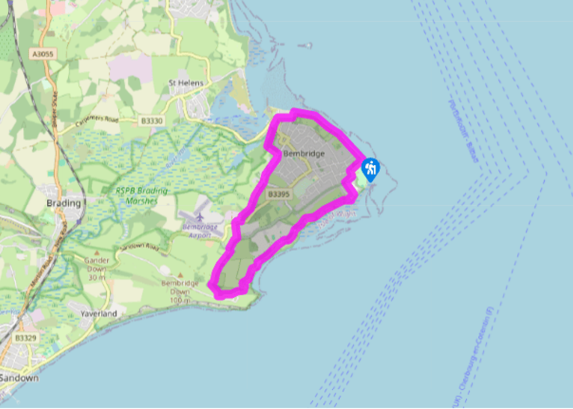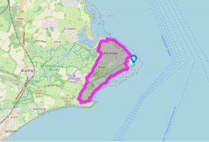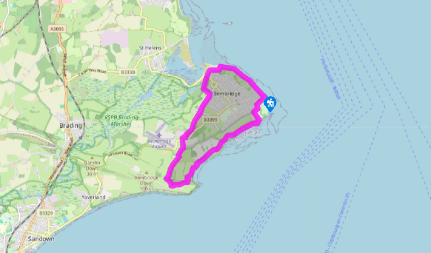
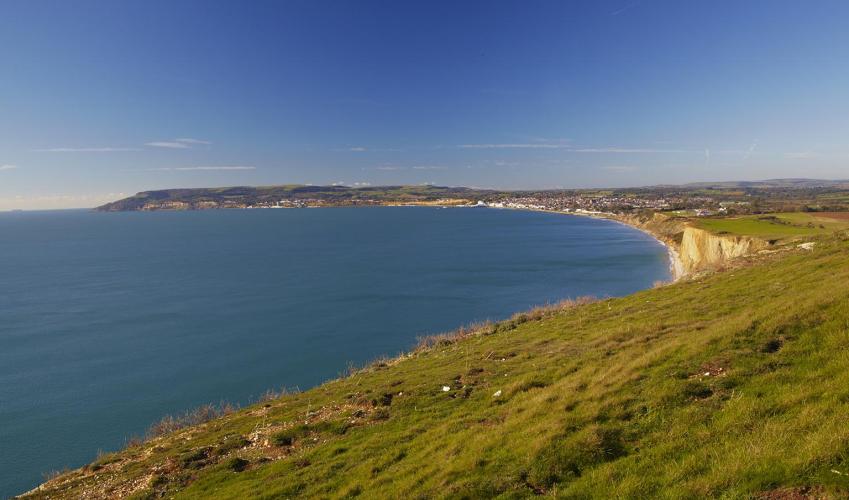
Bembridge and Culver Down
Recommended by

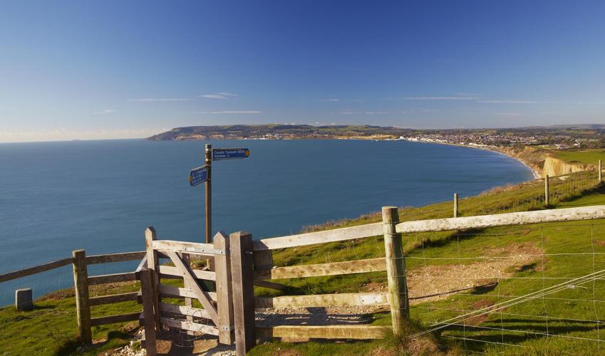
"Follow the coastal path to Culver Cliff and visit the island's only watermill."
Walk directions
Walk to the sea wall overlooking the lifeboat pier, turn right and soon follow the coastal path inland. Cross the drive to the Bembridge Coast Hotel, and then continue along the fenced path leading to a track. Turn left on the gravel track (Foreland Farm Lane) to a road, then turn right onto Howgate Road and take the second road (Beachfield Road) left. At the end, follow the coastal path right, pass behind the coastguard station and turn left in front of The Crab and Lobster Inn.
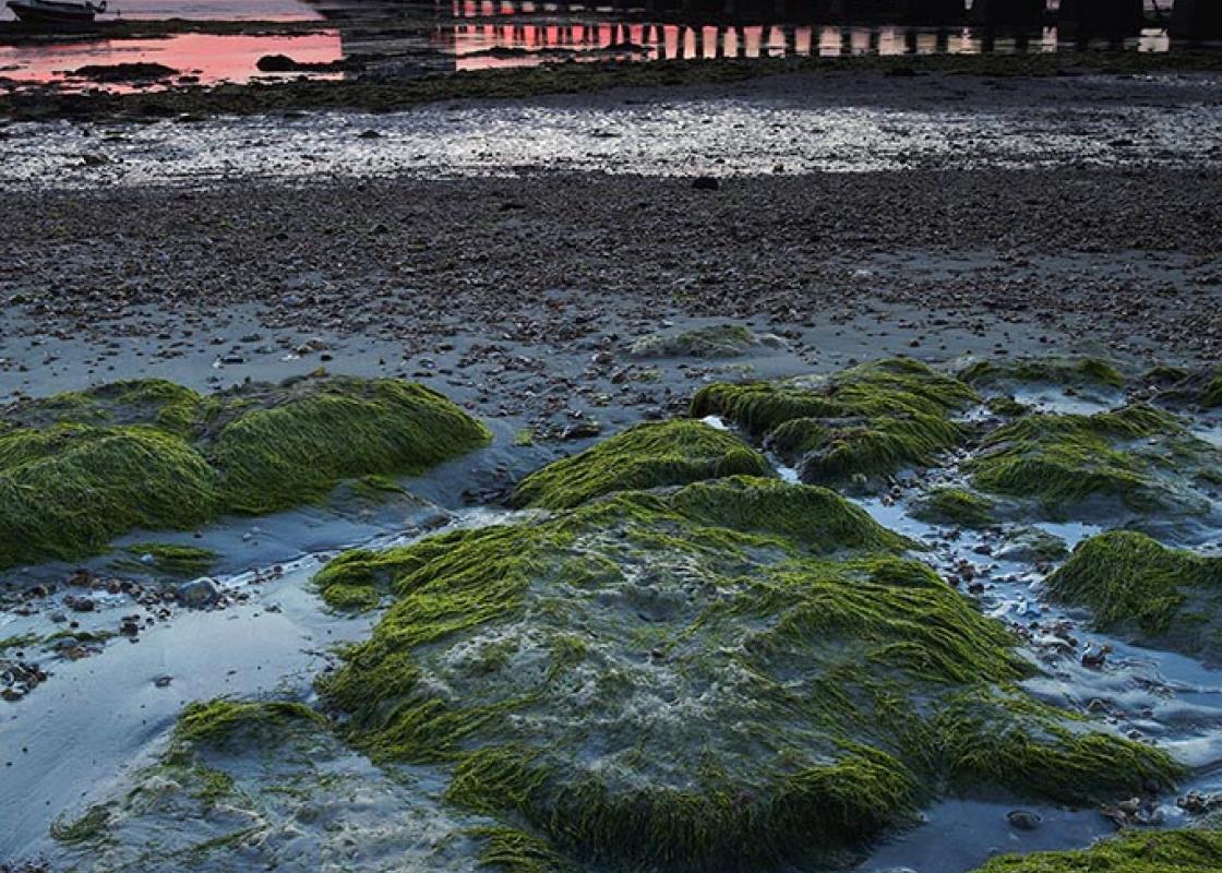
Walk across a small car park, passing steps down to the beach, go through a gate and continue ahead on the coastal path.
View all directions
Additional information
Terrain
- Coastal and field paths, some road, 3 stiles
Landscape
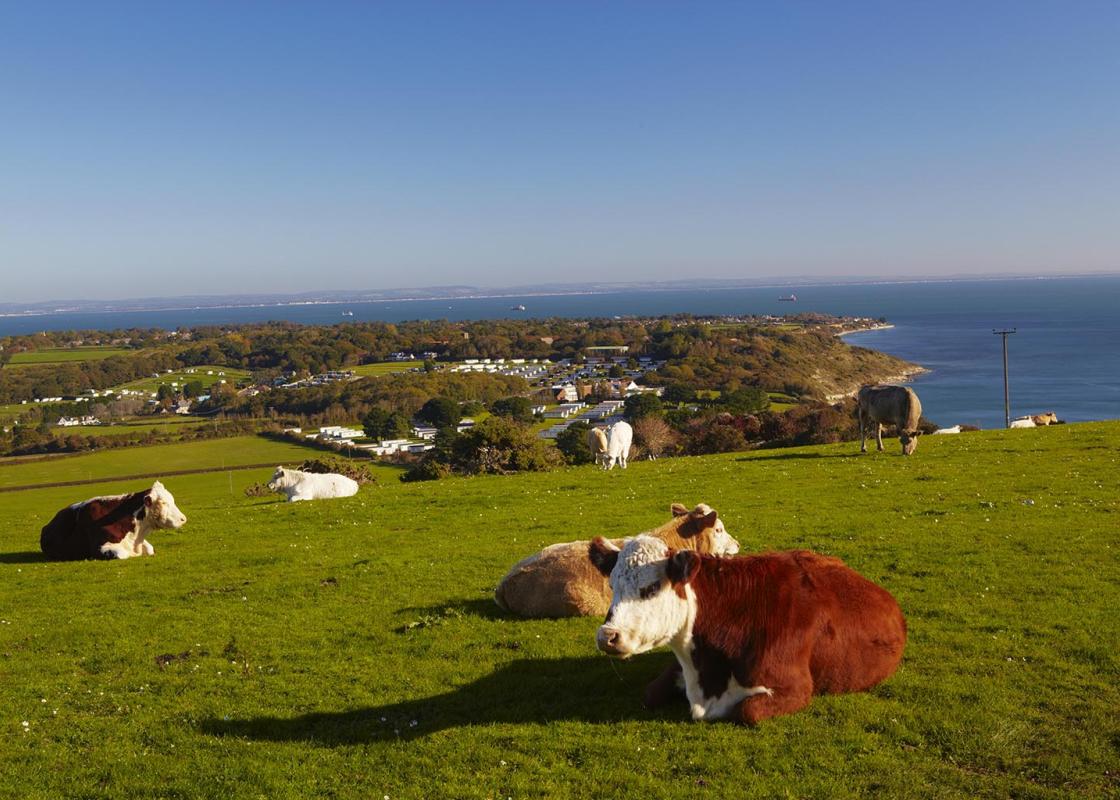
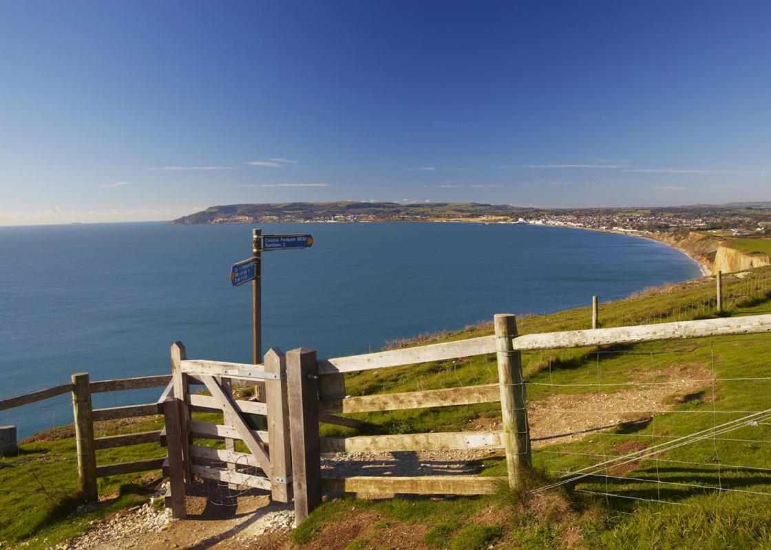
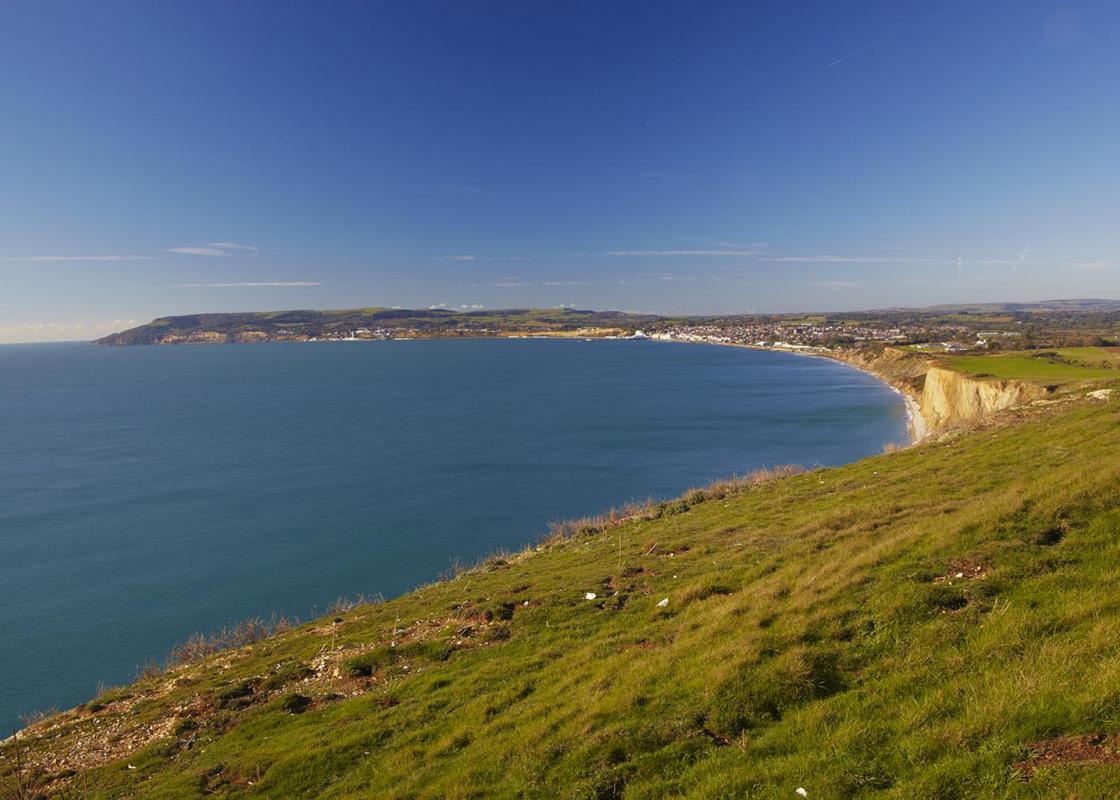
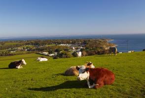
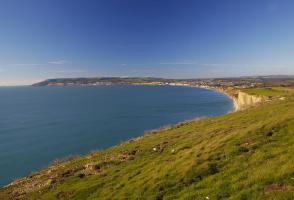
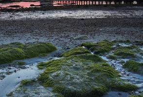
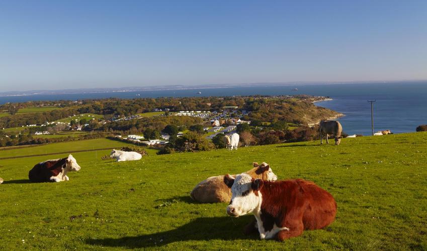
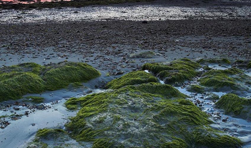
- Coastal cliffs, pebble beach (sand at low tide) and chalk downland
Dog friendliness
- Keep dogs under control; can run free on Culver Down
Parking
- Pay-and-display car park in Bembridge
Toilets en route
- Beside car park at the start and near the Pilot Boat Inn
About the walk
Bembridge is almost a place apart on the island’s most easterly headland. Formerly a rough fishing and smuggling hamlet, almost cut off by the estuary of the River Yar, it was transformed by land reclamation in the mid-19th century, when a few wealthy Victorians turned it into a fashionable resort...
Read more

Been on this walk?
Send us photos or a comment about this route. Or recommend a route of your own.

Walking in Safety
Read our tips to look after yourself and the environment when following this walk.

Get an AA guide
Explore our range of ‘50 Walks in’ guides - they’re the ideal companion for a ramble.
Been on this walk?
Send us photos or a comment about this route. Or recommend a route of your own.
Walking in Safety
Read our tips to look after yourself and the environment when following this walk.
Get an AA guide
Explore our range of ‘50 Walks in’ guides - they’re the ideal companion for a ramble.
About the area
Small and intimate – at just 23 miles by 13 miles, the Isle of Wight is a popular holiday destination; with its mild climate, long hours of sunshine and colourful architecture, it has something of a continental flavour. Visitors can walk along the island’s varied coastline using the well-established Coast Path or step back in time to explore the island’s history at some of the forts and castles.
Nearby places to stay
View all (8)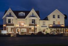


Nearby places to stay
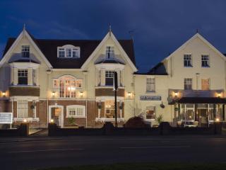
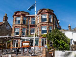
The Birdham at Bembridge
The Birdham at Bembridge is a beautifully restored Edwardian inn, set in the heart of the village. Recently reverting to its original 1920s name, the property has 14 en suite comfortabl...

3 Harbour Strand
Close to Bembridge harbour, this well-presented town house is a good choice for yachting, sailing and angling enthusiasts. Nature lovers will enjoy visits to the Hamstead Heritage Coast...
3 Harbour Strand
Close to Bembridge harbour, this well-presented town house is a good choice for yachting, sailing and angling enthusiasts. Nature lovers will enjoy visits to the Hamstead Heritage Coast...
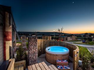
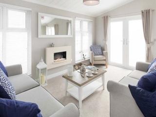
Whitecliff Bay Holiday Park Ltd
Whitecliff Bay has its very own secluded beach, as well as indoor and outdoor swimming pools. There are also activity programmes for the kids and fantastic entertainment and if you fanc...
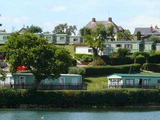
Sandhills Holiday Park
Sandhills Holiday Park benefits from an extremely good location offering some extremely good views out to sea and with its own access to the coast. Spacious areas are also provided. Ver...
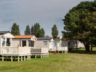
Old Mill Holiday Park
Offering high-quality, self-catering caravans, lodges and pine cabins, Old Mill family-run holiday park has a children's play area with swings, an aerial runway and tunnel slides. Local...
St Helens Coastal Resort
St Helens Coastal Resort is very well placed upon the Island close to the coast and also very well placed to act a base for visiting the many local places of interest. A small, well-for...
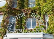
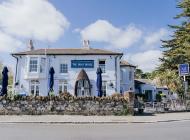
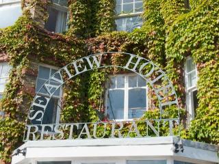
Seaview Hotel
There is an enduring appeal about Seaview, a quiet seaside village where the pace of life is unhurried. The hotel is just a few steps from the water's edge, a perfect place to relax and...
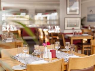
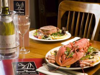
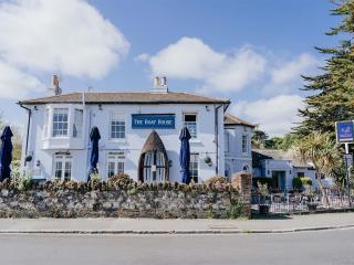
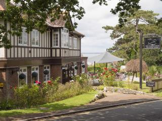
Places to eat nearby View all