Carisbrooke Castle
Recommended by

"Explore a castle with strong royal associations and visit an isolated church."
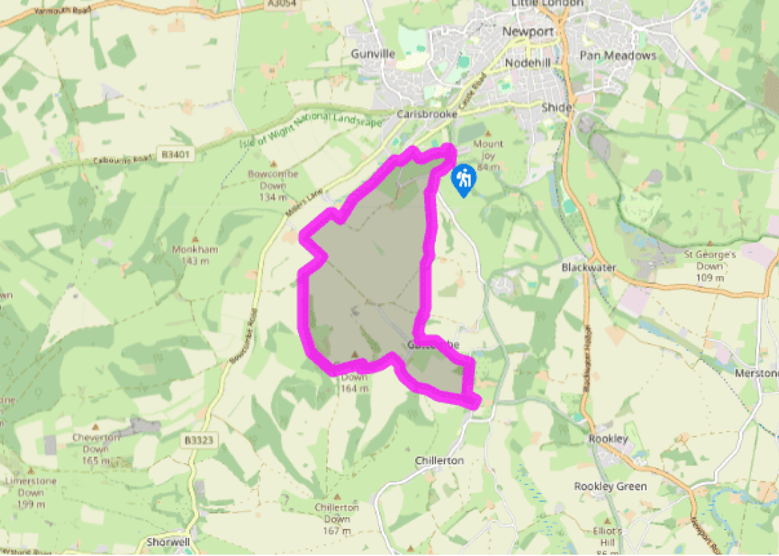
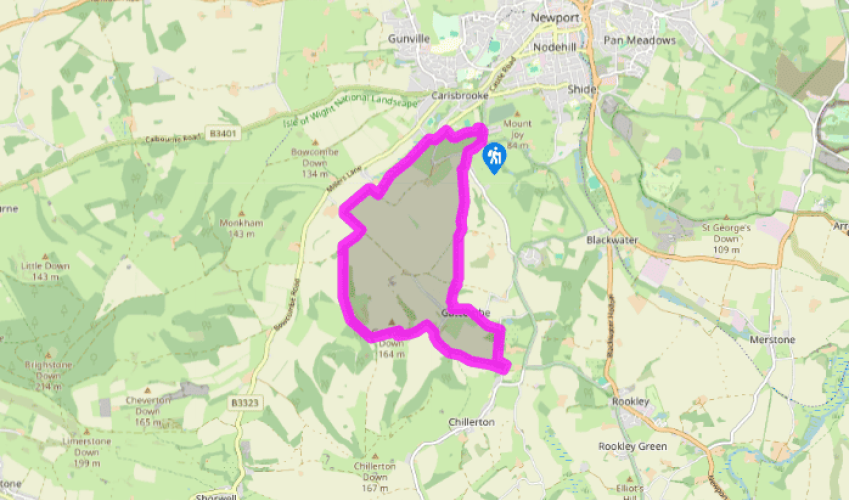
Walk directions
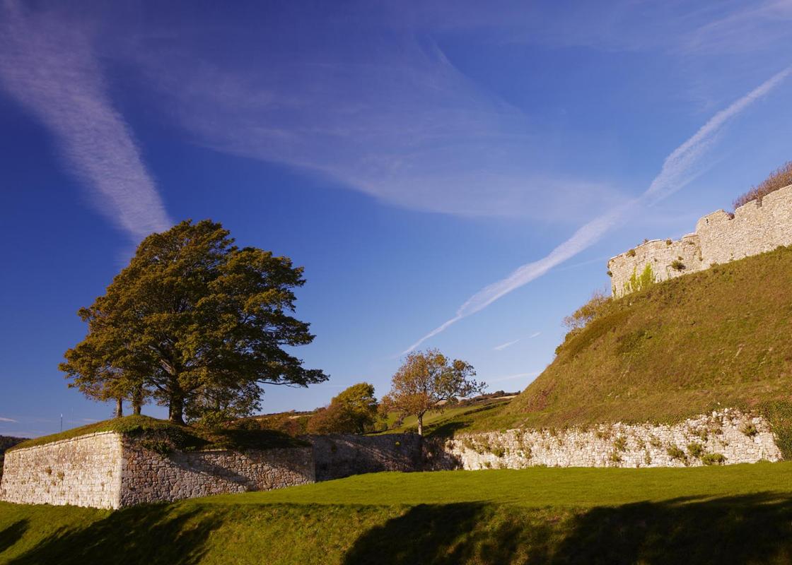
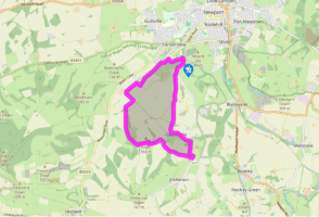
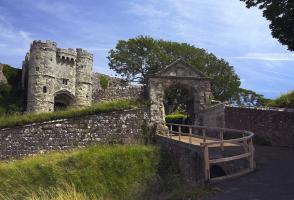
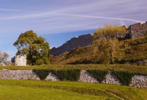
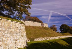
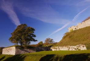
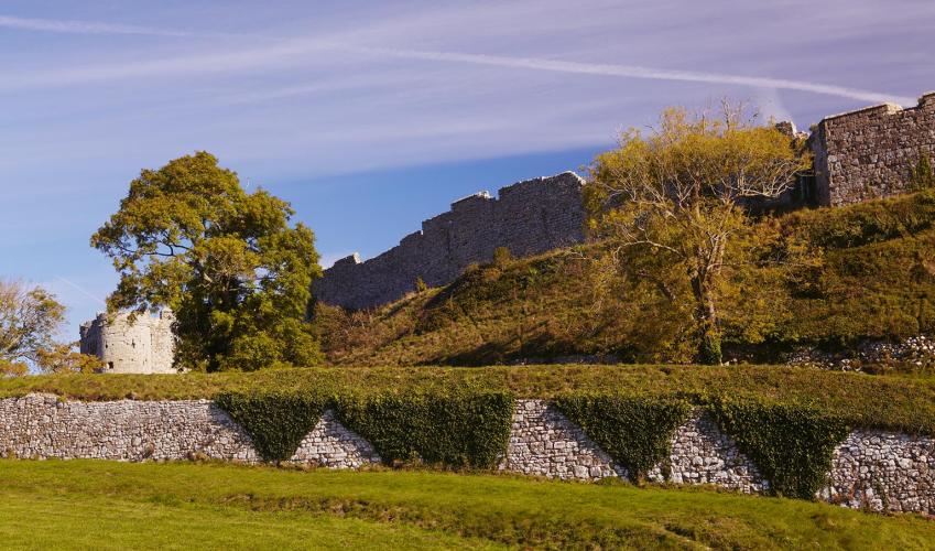
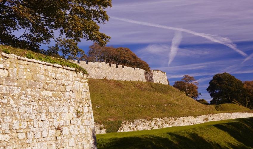
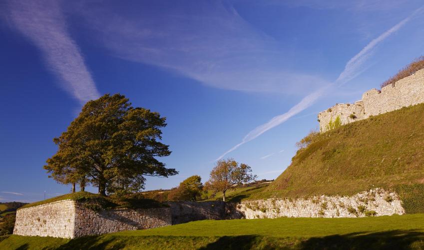
From the car park, and facing Carisbrooke Priory, turn left and walk along the road. Take the footpath (N193) left and go ahead past a gate, soon sloping through the trees. At the ruins of Carisbrooke Castle, bear left and follow the path along the castle walls. Turn left through a gate at the car park and follow the public footpath sign (N88) for Millers Lane, descending into a shady gully.
Turn right on reaching the road, pass the end of Millers Lane and walk to a kissing gate and path (N104) on the left, signposted ‘Bowcombe’. Cross a plank bridge and turn left along the marshy field to a stile and cross the pastures. Cross two more stiles and keep ahead to meet a track, beyond Plaish Farm.
View all directions
Additional information
Terrain
- Field and downland paths and tracks, some roads, 3 stiles
Landscape
- Farmland and open chalk downland
Dog friendliness
- Keep dogs under control
Parking
- Car park opposite Carisbrooke Priory entrance
Toilets en route
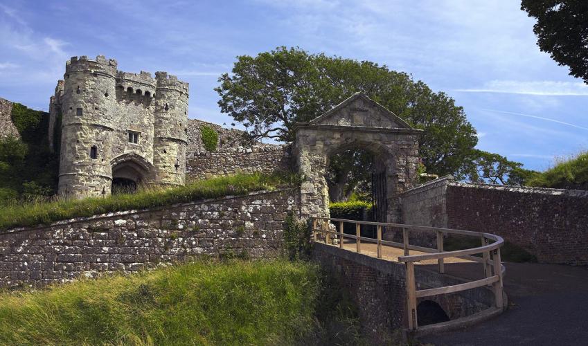
- There are toilets in Carisbrooke Castle, for which you will need to pay an entry fee or be an English Heritage member
About the walk
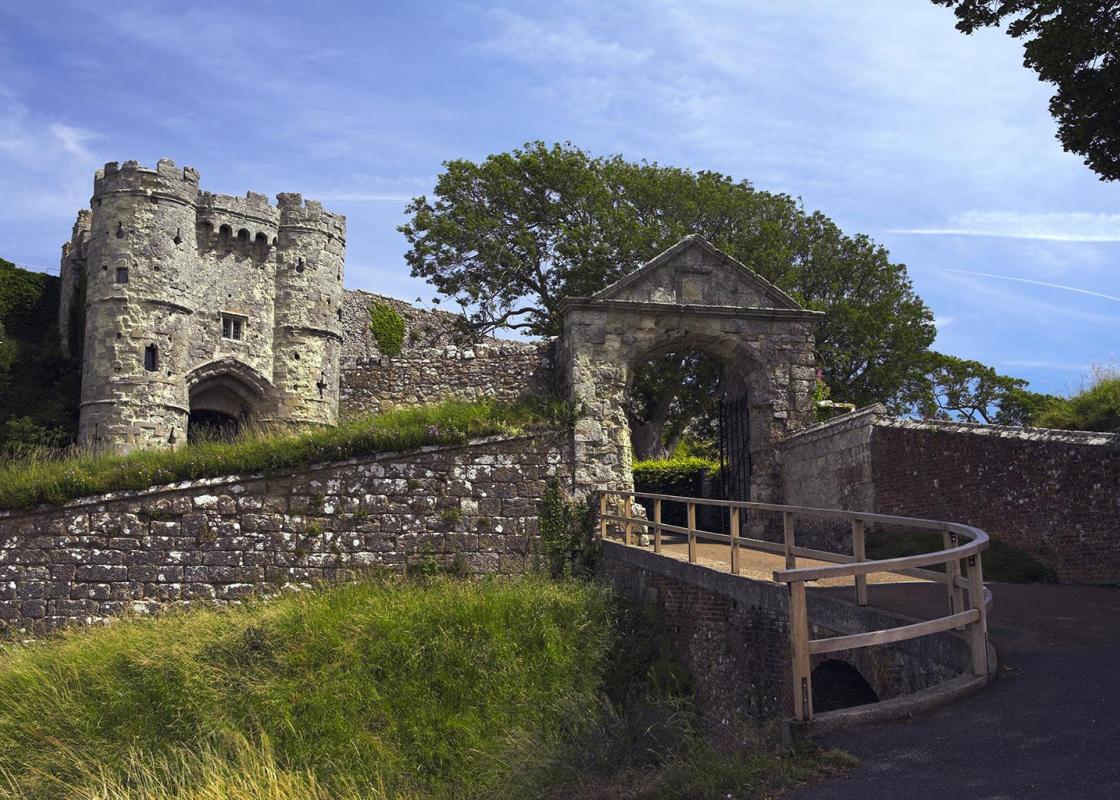
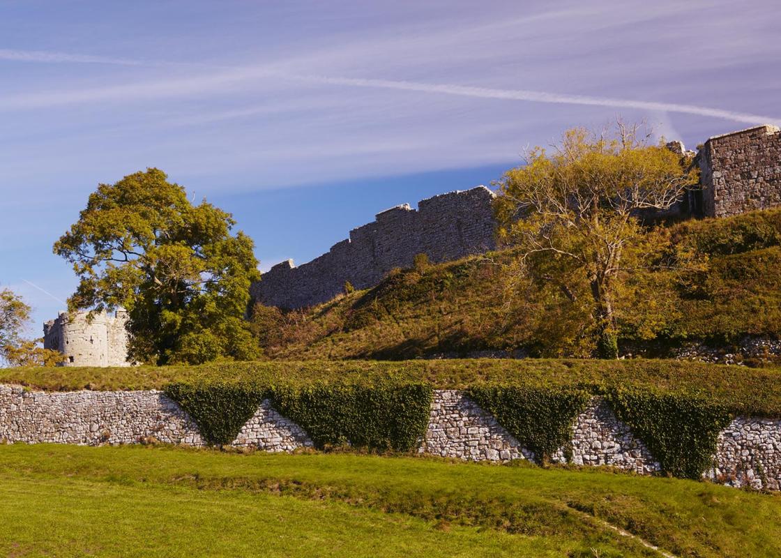
On a spur of chalk downland, 150ft (46m) above the village, the site of a Roman fort, Carisbrook Castle, a grand medieval ruin, commands a perfect military location, overlooking the Bowcombe Valley and the approaches to the heart of the island. You can walk the battlements, experience the majestic...
Read more

Been on this walk?
Send us photos or a comment about this route. Or recommend a route of your own.

Walking in Safety
Read our tips to look after yourself and the environment when following this walk.

Get an AA guide
Explore our range of ‘50 Walks in’ guides - they’re the ideal companion for a ramble.
Been on this walk?
Send us photos or a comment about this route. Or recommend a route of your own.
Walking in Safety
Read our tips to look after yourself and the environment when following this walk.
Get an AA guide
Explore our range of ‘50 Walks in’ guides - they’re the ideal companion for a ramble.
About the area
Small and intimate – at just 23 miles by 13 miles, the Isle of Wight is a popular holiday destination; with its mild climate, long hours of sunshine and colourful architecture, it has something of a continental flavour. Visitors can walk along the island’s varied coastline using the well-established Coast Path or step back in time to explore the island’s history at some of the forts and castles.
Nearby places to stay
View all (8)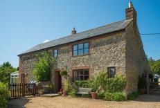


Nearby places to stay
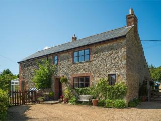
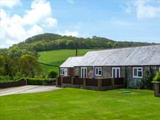
Dairy Cottage
This lovely holiday cottage, converted from a dairy, is on a farm in the outskirts of the village of Carisbrooke, within walking distance of Carisbrooke Castle (begun in the 12th centur...
Dairy Cottage at Luckington Farm
This lovely holiday cottage, converted from a dairy, is on a farm in the outskirts of the village of Carisbrooke, within walking distance of Carisbrooke Castle (begun in the 12th centur...
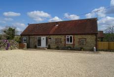
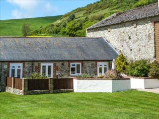
Stable Cottage
Stable Cottage is a 2-bedroom 2-bathroom property. Double room has an en-suite shower room. Main bathroom with bathtub and over bath shower is located next to the Twin bedroom. Stable C...
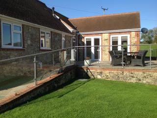
Parlour Cottage
Parlour Cottage is a 3-bedroom 2-bathroom property. It has a main family bathroom with bathtub and over bath shower. The shower room is located off the lounge area. The property is acce...
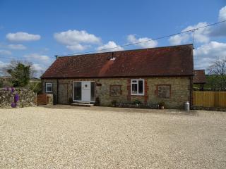
Dairy Cottage
Dairy Cottage is a 2-bedroom 2-bathroom cottage with both bathrooms being en-suites. The king room has an en-suite shower room, and the twin bedroom has an en-suite with bathtub and ove...
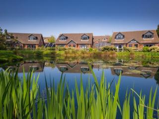
Newbarn Country Cottages
Newbarn Country Cottages are ideally situated in the centre of the island surrounded by beautiful countryside, peaceful yet within easy reach of all of the local attractions that the is...
The Old Brewhouse
The Old Brewhouse is a 2-bedroom 2-bathroom property with the addition of a separate W.C. The King room has an en-suite shower room. The Twin room has an en-suite with bathtub and over ...
The Lakes Rookley
The Lakes as its name suggests is based around the water feature from which it takes its name. Very well-maintained grounds add to the experience at this family orientated park. Perfect...
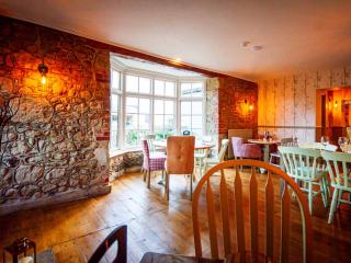
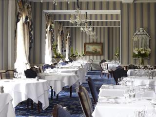
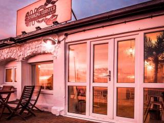
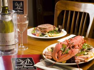
Places to eat nearby View all