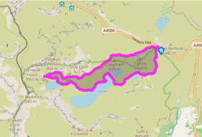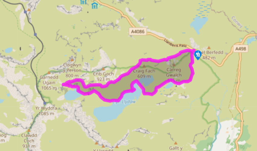
From Pen-y-Pass to Glaslyn
Recommended by

Walk directions
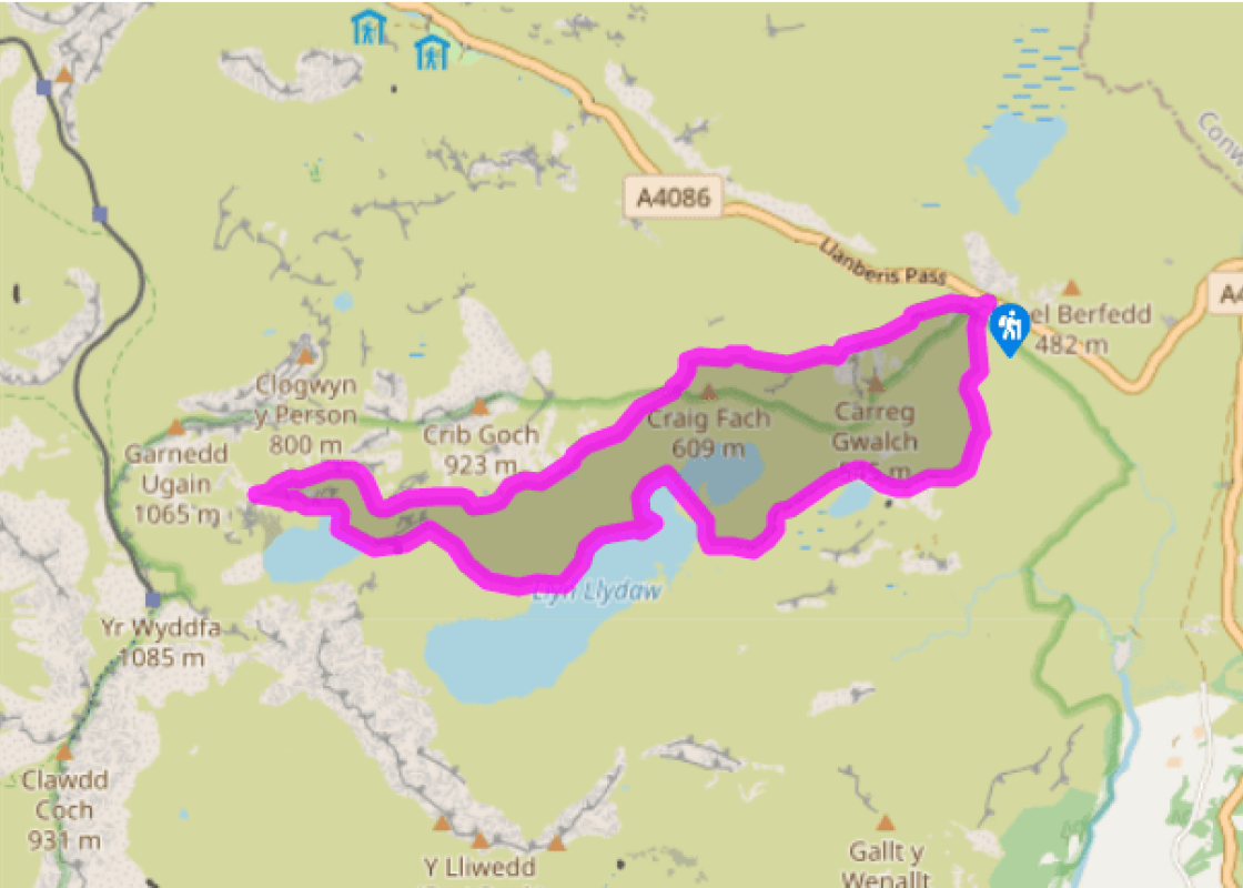
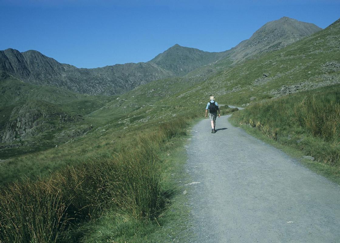
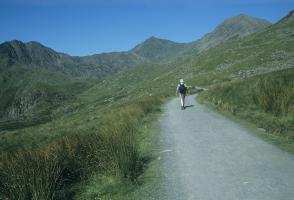
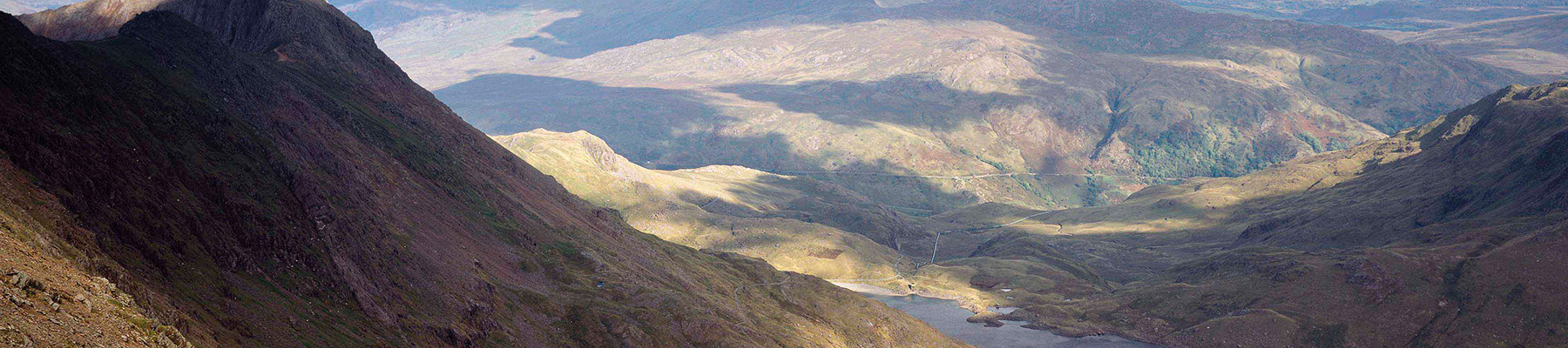
From the far right of the car park go through a gap in the wall and follow the popular path up rough slopes high above the Pass of Llanberis. It’s steep and rocky in places but well-engineered and so never really difficult. After a particularly steep climb, the gradient eases and the path reaches Bwlch y Moch, a wild pass on the northern ridge of Snowdon’s horseshoe.
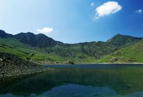
Ignoring the smaller path to the summit of Crib Goch, cross a stile and follow the wide path that rounds the corner to traverse Crib Goch’s lower slopes. It’s level at first, but then climbs again, picking its way across the slopes high above Llyn Llydaw. On the skyline above look out for walkers
crossing the knife-edged ridges of Crib Goch and Crib-y-Ddysgl.
View all directions
Additional information
Terrain
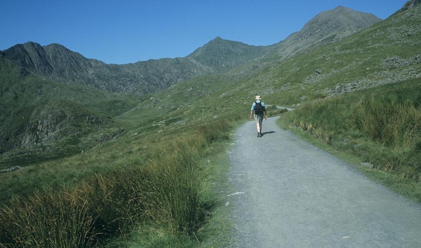
- Engineered paths
Landscape
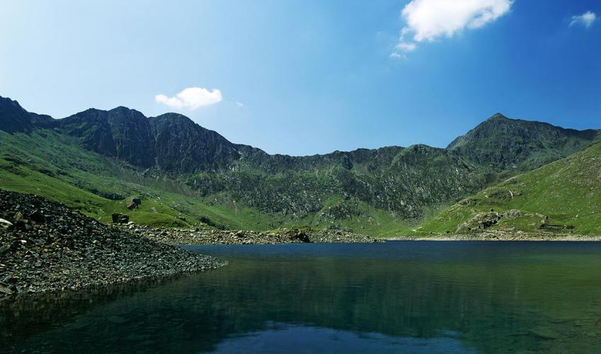
- High mountain corries and tarns
Dog friendliness
- Sheep around in summer – keep dogs on a lead
Parking
- Pen-y-pass car park (get there early or use Nant Peris Park-and-Ride)
Toilets en route
- At car park
About the walk
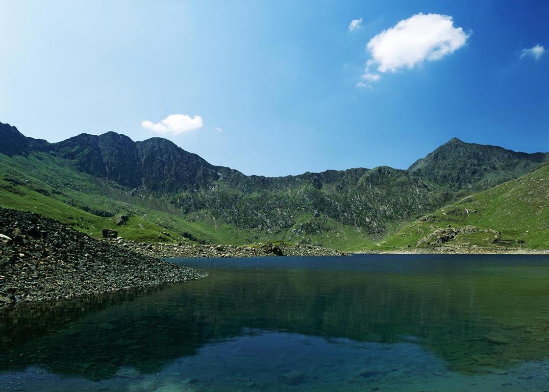
Tucked beneath the cold, hard rocks of Glyder Fawr and Crib Goch, the high Pass of Llanberis would have been an awesome sight for early travellers. There wasn’t a road until 1830, so traders and farmers would have had to take their horse-drawn sledges over the boulder-strewn and boggy ground you...
Read more

Been on this walk?
Send us photos or a comment about this route. Or recommend a route of your own.

Walking in Safety
Read our tips to look after yourself and the environment when following this walk.

Get an AA guide
Explore our range of ‘50 Walks in’ guides - they’re the ideal companion for a ramble.
Been on this walk?
Send us photos or a comment about this route. Or recommend a route of your own.
Walking in Safety
Read our tips to look after yourself and the environment when following this walk.
Get an AA guide
Explore our range of ‘50 Walks in’ guides - they’re the ideal companion for a ramble.
About the area
The county of Gwynedd is home to most of the Snowdonia National Park – including the wettest spot in Britain, an arête running up to Snowdon’s summit that receives an average annual rainfall of 4,473mm. With its mighty peaks, rivers and strong Welsh heritage (it has the highest proportion of Welsh-speakers in all of Wales), it’s always been an extremely popular place to visit and live.
Nearby places to stay
View all (8)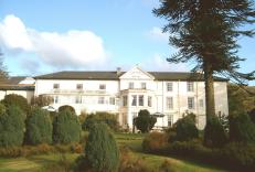


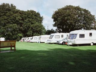
Caravan & Camping
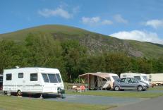
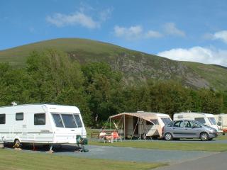
Llys Derwen Caravan & Camping Site

- Launderette
- Ice pack facility
- BBQ
- Battery Charging
Nearby places to stay

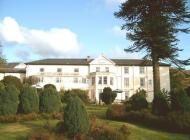
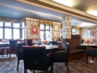
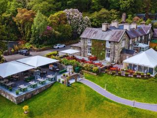
The Royal Victoria Hotel Snowdonia
The Royal Victoria Hotel Snowdonia is a well-established hotel near the foot of Snowdon, between the Peris and Padarn lakes. The mountains and extensive grounds make an attractive backd...
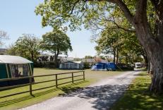
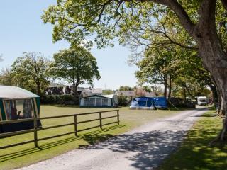
Bryn Gloch Caravan & Camping Park
Set beside the River Gwyrfai, Bryn Gloch offers shepherd's huts, static caravans and touring pitches in the heart of beautiful Snowdonia (Eryri). The park offers the best of two worlds,...
Llys Derwen Caravan & Camping Site
Enjoy the adventure of a lifetime in Snowdonia North Wales. Nestled in the scenic embrace of Mount Snowdon (Yr Wyddfa), the award winning Llys Derwen Caravan & Campsite Snowdon is an id...
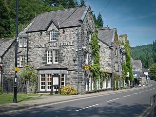
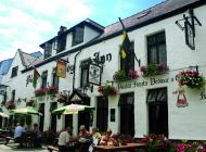
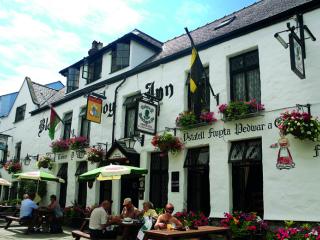
Royal Oak Hotel
Centrally situated in the village, the Royal Oak is an elegant, privately owned hotel that started life as a coaching inn and provides very comfortable bedrooms with smart, modern en su...
Plas Gwyn Caravan & Camping Park
A secluded park in an ideal location for visiting the glorious nearby beaches, historic Caernarfon, the attractions of Snowdonia and for walking opportunities. The site is set within th...
Aberdunant Hall
Part of the Aberdunant Hall holiday park, which is set on 200 acres of ancient woodland, that includes a superb selection of indigenous trees, flora and fauna, further enhanced by water...
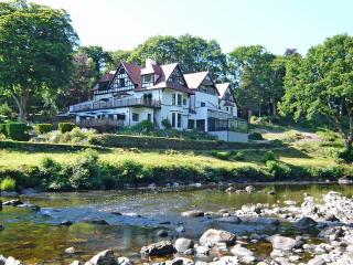
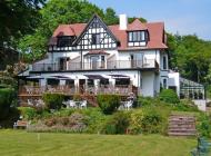
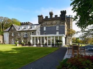
Craig-y-Dderwen Riverside Hotel
Craig-y-Dderwen Riverside Hotel is Victorian country house hotel in well-maintained grounds alongside the River Conwy, at the end of a tree-lined drive. Views down the river can be enjo...
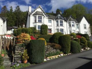
Bryn Bella Guest House
Located in an elevated position on the outskirts of the village, with stunning views of the surrounding countryside, this elegant Victorian house provides a range of thoughtfully equipp...
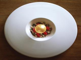
Places to eat nearby View all