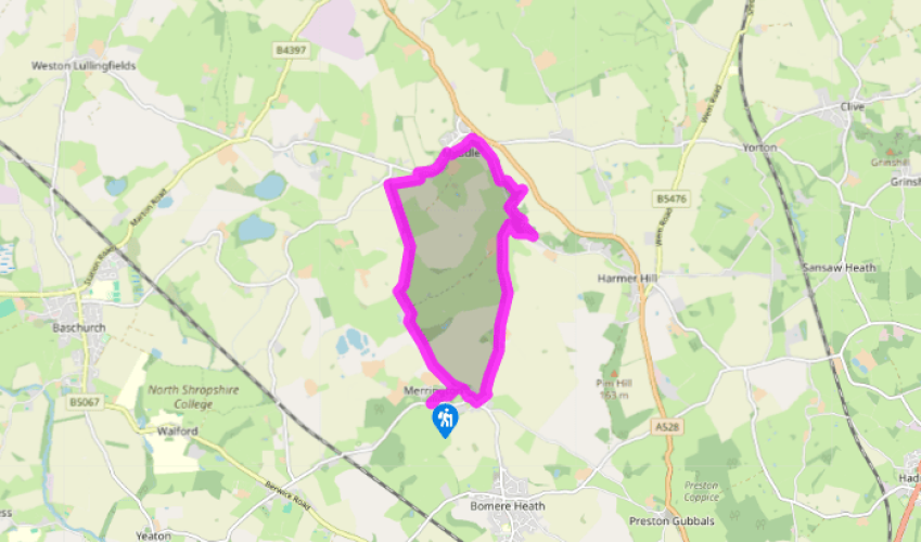
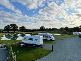
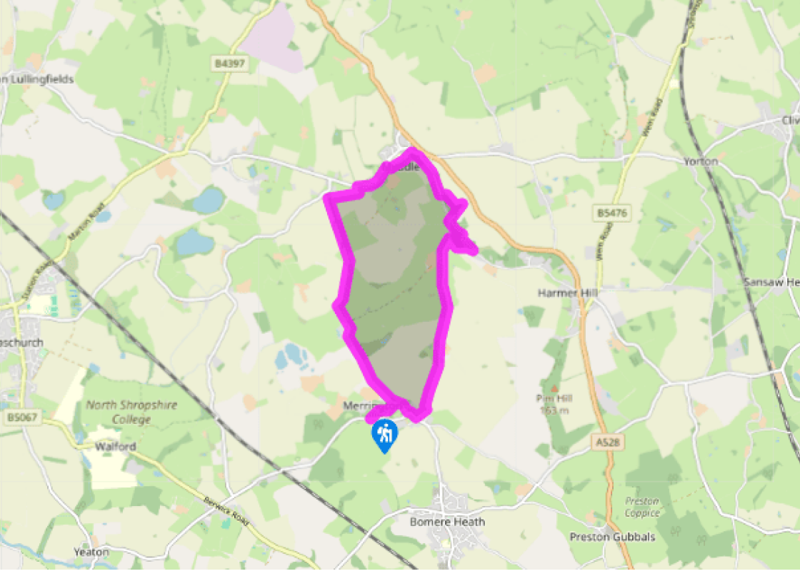
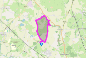
Take the right-hand path from the car park. Keep to the clearest path and go left at a fork, through tall bracken in summer. The path becomes clearer in woodland. Pass a pool, keeping it to your left. In the open again, turn left, back into the trees. Pass another pool (notice the difference in water levels) and continue to meet a clear track.
Turn left on the tree-bordered track, which runs for nearly 2 miles (3.2km). As you approach a road, look for a gate set back on the right (at a bend). Turn right and go straight across towards a white house. Meet the road on the edge of Myddle. Turn right into the village.
After passing the church, turn right on a walled lane, then go through a gate on the left. Pass left of farm buildings, crossing two stiles. Go straight ahead through a field to a footbridge then up to a stile and lane.
Turn right for 400yds (366m), then join a footpath on the left, up a wooded slope. At the top a well-trodden path turns right by the woodland edge. In theory, the right of way goes diagonally across a field to the road, but this can be impassable.
Either double-back from the road or simply follow everyone else along the wood’s edge to a corner. Go through a gate and descend through the trees, then through a garden (dogs on lead) and past a cottage towards the lane. Just before you reach it, join another path on the left, back up the slope. Around 40yds (37m) before a stile at the top, turn right, then left, descending through a former quarry. At the bottom fork left, continue to the lane and turn right.
At the next junction turn left (signed ‘Bomere Heath’) continue along the lane for 1.1miles (1.8km). In theory there’s a footpath about 100yds (91m) before the next junction that cuts off the corner, but stiles are currently overgrown, if so carry on along the lane. However, keep an eye open in case of improvements.
Eventually turn right at a T-junction at Merrington. When the road bends left, go straight on along a track (the same one you used earlier) until you join a path that crosses the nature reserve to the car park.
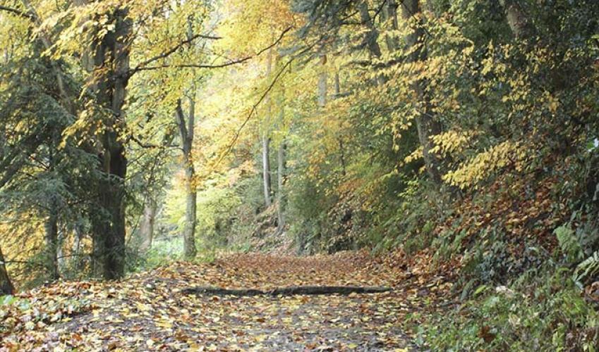
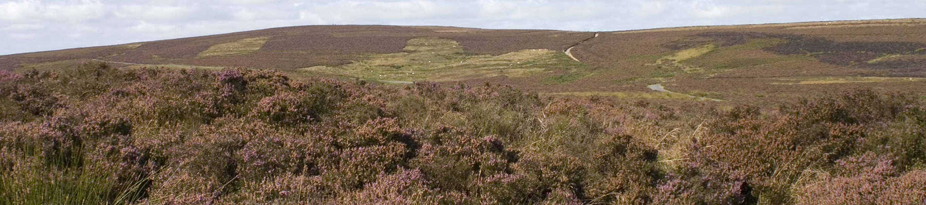
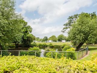
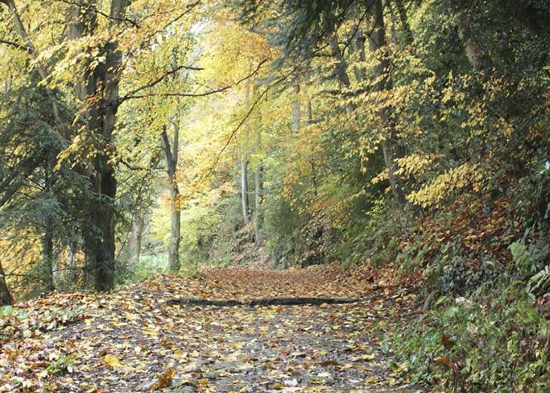
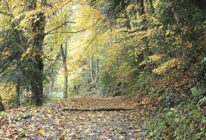
The main highlights of this walk are the former quarries at Webscott and the nature reserve managed by Shropshire Wildlife Trust at Merrington Green. It’s a story of contrast. Webscott is a relatively new landscape created by nature taking over a post-industrial site. Since quarrying ceased, the... holes so crudely gouged out of the sandstone have been colonised by mosses, ferns and trees. The effect is delightful. Merrington Green, on the other hand, is a very old landscape which can be maintained only by human management, otherwise nature will turn it into just another woodland. Of course, it would have been woodland originally, but in the Middle Ages it was cleared. At that time, nearly every village would have had a similar patch of land where commoners could graze stock, collect firewood and dig marl or turf. Such a system results in a range of habitats, which is often of ecological value. Merrington Green is still a registered common, but the commoners no longer exercise their rights, which means scrub is encroaching. It is controlled by hand as far as possible, but the reintroduction of grazing would be a better way. One of the most valuable aspects of the green is the presence of three pools which have formed in old marl pits. An incredible 17 species of dragonfly and damselfly have been recorded here, making this easily Shropshire Wildlife Trust’s top dragonfly location. The easternmost pool is fringed by marsh horsetail, a descendant of the giant horsetails of the primeval swamps, where the first dragonflies evolved over 300 million years ago. The largest species of dragonfly ever known is preserved in the fossil record from this time – it had a wingspan the size of a sparrowhawk’s. Modern dragonflies are much smaller and a miniature miracle of design. If you get to see a resting dragonfly it’s worth studying it in detail to appreciate the lethal beauty of these precision built killing machines. Typically, an adult dragonfly will live only a few weeks, but in that time it will consume large numbers of insects, caught on the wing. Its aerial acrobatics can be spectacular and its wings beat 30 times a second, allowing a dazzling range of manoeuvres. The adult stage is preceded by two or three years spent under water as a nymph, in which form the insect is also a consummate predator. When a nymph is ready to metamorphose, it climbs out of the water onto a suitable plant. The ugly larval skin splits and a jewel-coloured adult emerges, crumpled at first, until it dries off and its wings inflate.
Perhaps nowhere else in England will you find a county so deeply rural and with so much variety as Shropshire. Choose a clear day, climb to the top of The Wrekin, and look down on that ‘land of lost content’ so wistfully evoked by A E Housman.
Take the right-hand path from the car park. Keep to the clearest path and go left at a fork, through tall bracken in summer. The path becomes clearer in woodland. Pass a pool, keeping it to your left. In the open again, turn left, back into the trees. Pass another pool (notice the difference in water levels) and continue to meet a clear track.
1 of 7
Turn left on the tree-bordered track, which runs for nearly 2 miles (3.2km). As you approach a road, look for a gate set back on the right (at a bend). Turn right and go straight across towards a white house. Meet the road on the edge of Myddle. Turn right into the village.
2 of 7
After passing the church, turn right on a walled lane, then go through a gate on the left. Pass left of farm buildings, crossing two stiles. Go straight ahead through a field to a footbridge then up to a stile and lane.
3 of 7
Turn right for 400yds (366m), then join a footpath on the left, up a wooded slope. At the top a well-trodden path turns right by the woodland edge. In theory, the right of way goes diagonally across a field to the road, but this can be impassable.
4 of 7
Either double-back from the road or simply follow everyone else along the wood’s edge to a corner. Go through a gate and descend through the trees, then through a garden (dogs on lead) and past a cottage towards the lane. Just before you reach it, join another path on the left, back up the slope. Around 40yds (37m) before a stile at the top, turn right, then left, descending through a former quarry. At the bottom fork left, continue to the lane and turn right.
5 of 7
At the next junction turn left (signed ‘Bomere Heath’) continue along the lane for 1.1miles (1.8km). In theory there’s a footpath about 100yds (91m) before the next junction that cuts off the corner, but stiles are currently overgrown, if so carry on along the lane. However, keep an eye open in case of improvements.
6 of 7
Eventually turn right at a T-junction at Merrington. When the road bends left, go straight on along a track (the same one you used earlier) until you join a path that crosses the nature reserve to the car park.
The main highlights of this walk are the former quarries at Webscott and the nature reserve managed by Shropshire Wildlife Trust at Merrington Green. It’s a story of contrast. Webscott is a relatively new landscape created by nature taking over a post-industrial site. Since quarrying ceased, the... holes so crudely gouged out of the sandstone have been colonised by mosses, ferns and trees. The effect is delightful. Merrington Green, on the other hand, is a very old landscape which can be maintained only by human management, otherwise nature will turn it into just another woodland. Of course, it would have been woodland originally, but in the Middle Ages it was cleared. At that time, nearly every village would have had a similar patch of land where commoners could graze stock, collect firewood and dig marl or turf. Such a system results in a range of habitats, which is often of ecological value. Merrington Green is still a registered common, but the commoners no longer exercise their rights, which means scrub is encroaching. It is controlled by hand as far as possible, but the reintroduction of grazing would be a better way. One of the most valuable aspects of the green is the presence of three pools which have formed in old marl pits. An incredible 17 species of dragonfly and damselfly have been recorded here, making this easily Shropshire Wildlife Trust’s top dragonfly location. The easternmost pool is fringed by marsh horsetail, a descendant of the giant horsetails of the primeval swamps, where the first dragonflies evolved over 300 million years ago. The largest species of dragonfly ever known is preserved in the fossil record from this time – it had a wingspan the size of a sparrowhawk’s. Modern dragonflies are much smaller and a miniature miracle of design. If you get to see a resting dragonfly it’s worth studying it in detail to appreciate the lethal beauty of these precision built killing machines. Typically, an adult dragonfly will live only a few weeks, but in that time it will consume large numbers of insects, caught on the wing. Its aerial acrobatics can be spectacular and its wings beat 30 times a second, allowing a dazzling range of manoeuvres. The adult stage is preceded by two or three years spent under water as a nymph, in which form the insect is also a consummate predator. When a nymph is ready to metamorphose, it climbs out of the water onto a suitable plant. The ugly larval skin splits and a jewel-coloured adult emerges, crumpled at first, until it dries off and its wings inflate.
Perhaps nowhere else in England will you find a county so deeply rural and with so much variety as Shropshire. Choose a clear day, climb to the top of The Wrekin, and look down on that ‘land of lost content’ so wistfully evoked by A E Housman.