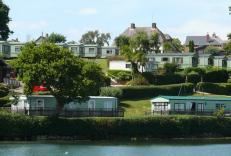
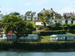
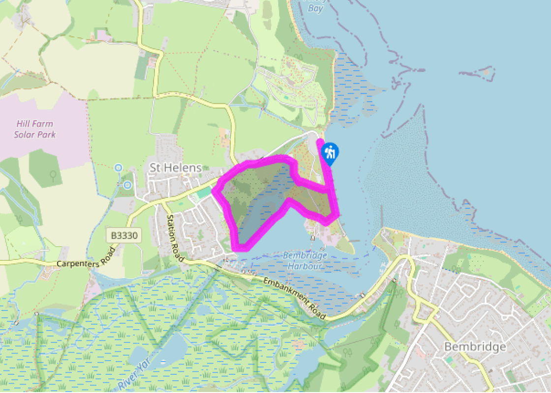
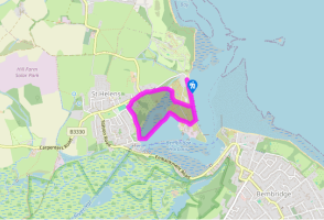
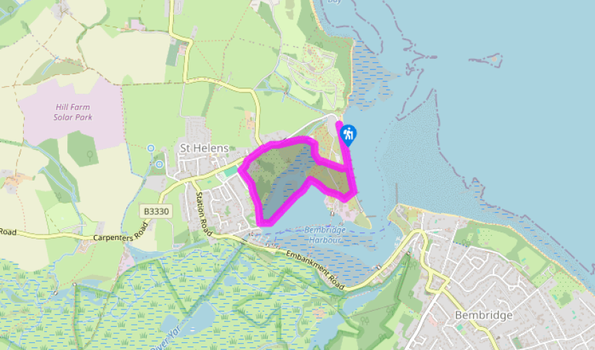
Sea change for St Helens

Discover the forces that shaped Bembridge Harbour on this attractive seaside route.

NEAREST LOCATION

St Helens

RECOMMENDED BY
DISTANCE

1.5 miles (2.4kms)

ASCENT
99ft (30m)
TIME
45min
GRADIENT
DIFFICULTY
Easy
STARTING POINT
SZ636894

About the walk

A glance at a modern map tells you little about the extraordinary landscape of St Helens and its near neighbours, Brading and Bembridge. Perhaps we should also include Sandown in the story, for until the Middle Ages it lay at the opposite end of Brading Haven, whilst Bembridge itself was an offshore island. All that changed in 1338 with the building of Yarbridge, linking the two islands together and closing off the harbour beyond Brading. Nevertheless this was still a substantial harbour.

The French connection

This didn’t go unnoticed and the French that took advantage of this safe anchorage to invade St Helens in 1340. Sir Theobald Russell beat them back and six years later Edward III returned the compliment when he sailed from St Helens to invade Normandy. The French tried again in July 1545 and briefly occupied the area around Bembridge and St Helens but pressure from the local militia and the difficulty of supplying their army forced their withdrawal.

Holiday haven

Natural coastal erosion created the present harbour entrance early in the 17th century and by the Victorian era Bembridge was growing into a fashionable resort, with daily steamer services to Portsmouth. The railway reached Brading in 1864 and 10 years later Parliament authorised a branch line to Bembridge. The line opened in 1882 behind the long embankment from Bembridge to St Helens, reclaiming more than 800 acres (324ha) of Brading Haven and finally ending Brading’s long history as a sea port.

With St Helens now on the railway map, the Duver became home to the newly formed Royal Isle of Wight Golf Club. This wasn’t just a formal title, for the membership list included Queen Victoria’s youngest daughter, Princess Beatrice, as well as Edward VII. The club closed in 1961 and presented the Duver to the National Trust, which now manages the area for wildlife and recreation. Birds like dunlin and Brent geese fly south to spend the winter here and you may see oystercatchers and lapwings roosting at high tide.

Walk directions

Face the sea wall and turn right along the beach, passing the toilets and beach cafe. Continue past the beach huts (converted Victorian railway trucks) and turn inland, cross the boatyard access road with green metal boatsheds to your left and join footpath R86 towards St Helens. Walk beside the harbour on your left for 190yds (174m) as far as the narrow causeway on your left.

Turn left and walk right across the causeway between the harbour and the former millponds on your right, crossing three bridges along the way.

Zig-zag between the buildings at the far end of the causeway and turn right past St Helens Mill, now converted as a private house. Keep ahead past the Old Mill Holiday Park and follow the lane up the hill to the green.

Walk ahead up Mill Road, cross over and turn right. Bear right at the bend into Duver Road. Pass a bench with an interesting village information board, continue for 90yds (82m) and turn right onto footpath R88 at St Helens Common. Follow the enclosed path down beside the common and cross the footbridge onto St Helens Duver.

Keep ahead for 65yds (59m),then, when the path curves right, branch off left across the grass towards the houses on the skyline. Cross the lane, keeping the National Trust car park to your left. Keep ahead past the car park steps on your left, then walk through the narrow gap in the bushes onto the sea wall. Turn left and re-trace your steps to the car park.

Additional information

Sea wall, firm paths, roads and grass (may be muddy)

Grazing marsh, Solent and harbour views

Lead required along the roads

AA Walker's Map 16 Isle of Wight

St Helen’s (Priory Point) car park (pay-and-display)

At the start (seasonal opening)

Been on this walk?

Send us photos or a comment about this route.

Know a good walk?

Share your route with us.

WALKING IN SAFETY

Read our tips to look after yourself and the environment when following this walk.

Find out more

Why choose Rated Trips?

Your trusted guide to rated places across the UK
icon example
The best coverage

Discover more than 15,000 professionally rated places to stay, eat and visit from across the UK and Ireland.

icon example
Quality assured

Choose a place to stay safe in the knowledge that it has been expertly assessed by trained assessors.

icon example
Plan your next trip

Search by location or the type of place you're visiting to find your next ideal holiday experience.

icon example
Travel inspiration

Read our articles, city guides and recommended things to do for inspiration. We're here to help you explore the UK.