The mines of Greenhow and Bewerley Moor
Recommended by

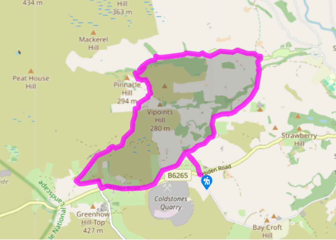
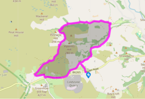
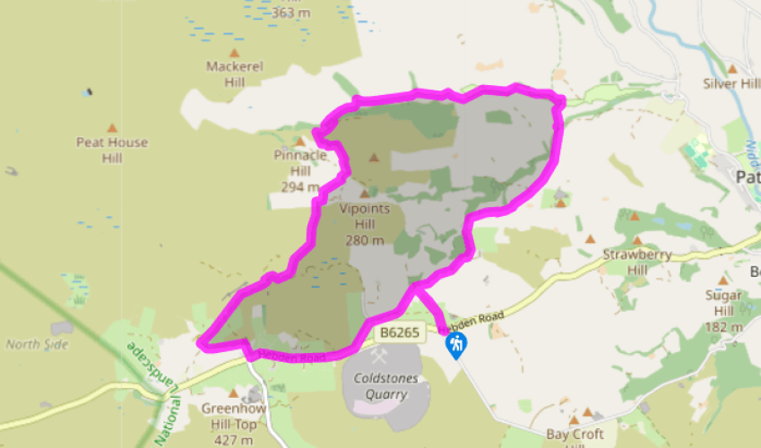
Walk directions
Cross the road from the car park and go over the stile beside a metal gate opposite into a field. Follow the faint path downhill to turn left just before a gate. Follow the wall on your right to a stile near a metal gate onto a metalled track. Turn left and walk up the hill to a metal gate onto a road. Turn left and walk up to the main road. Turn right and follow this down into Greenhow village. At the bottom of the hill, just past a converted chapel (Old Hall), take a lane signed ‘Stripe Lane’, to the right. At the junction go left and follow the lane to a cattle grid. Follow waymarkers along the wire fence to go through a gate on your right and bear round to the right to pass behind the house (Far Side).
Follow the track as it skirts the house and on past Low Far Side. Continue down into the valley of Gill Beck and then Brandstone Beck, where there are the extensive remains of lead mining activity. Follow the main track as it winds to the right of a building and across a ford.
View all directions
Additional information
Terrain
- Field and moorland paths and tracks, 4 stiles
Landscape
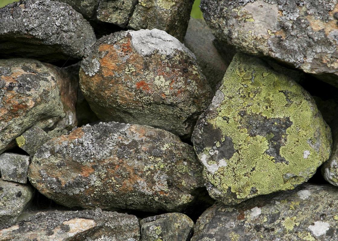
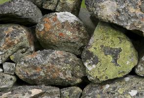
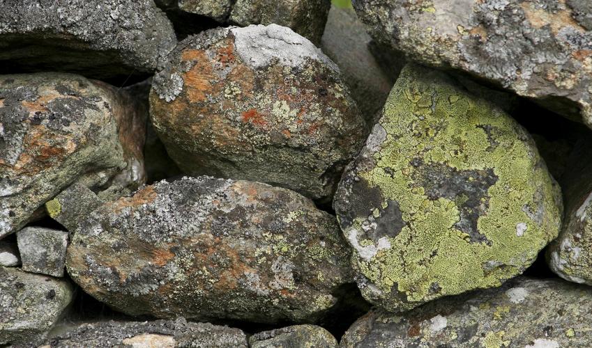
- Moorland and valley, remains of lead-mining industry
Dog friendliness
- Dogs can be off lead for much of route
Parking
- Car park at Toft Gate Lime Kiln
Toilets en route
- None on route
About the walk
It is a long haul from Pateley Bridge up Greenhow Hill to the village of Greenhow, one of the highest in Yorkshire at around 1,300ft (396m) above sea level. Until the early 17th century this was bleak and barren moorland. When lead mining on a significant scale developed in the area in the 1600s, a...
Read more

Been on this walk?
Send us photos or a comment about this route. Or recommend a route of your own.

Walking in Safety
Read our tips to look after yourself and the environment when following this walk.

Get an AA guide
Explore our range of ‘50 Walks in’ guides - they’re the ideal companion for a ramble.
Been on this walk?
Send us photos or a comment about this route. Or recommend a route of your own.
Walking in Safety
Read our tips to look after yourself and the environment when following this walk.
Get an AA guide
Explore our range of ‘50 Walks in’ guides - they’re the ideal companion for a ramble.
About the area
North Yorkshire, with its two National Parks and two designated Areas of Outstanding Natural Beauty, is England’s largest county and one of the most rural. This is prime walking country, from the heather-clad heights of the North York Moors to the limestone country that is so typical of the Yorkshire Dales – a place of contrasts and discoveries, of history and legend.

Nearby places to stay
View all (8)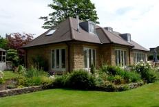


Nearby places to stay
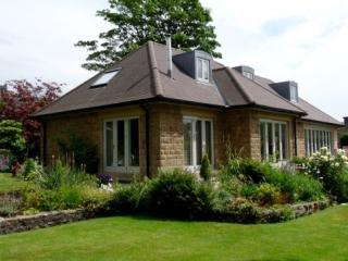
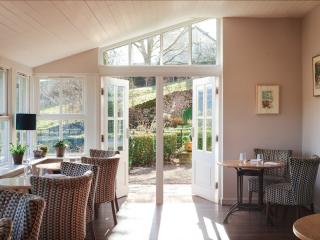
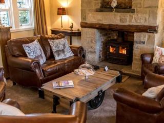
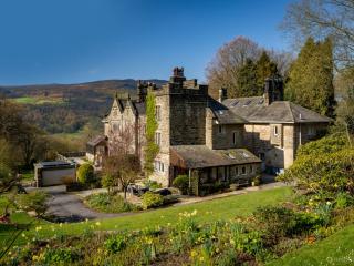
Greenwood Close
Greenwood Close is located in the heart of Pateley Bridge, just a few minutes’ walk from excellent local shops and pubs. A family home for over fifty years, it has been recently renovat...
Greenwood Close
Greenwood Close is located in the heart of Pateley Bridge, just a few minutes’ walk from excellent local shops and pubs. A family home for over fifty years, it has been recently renovat...
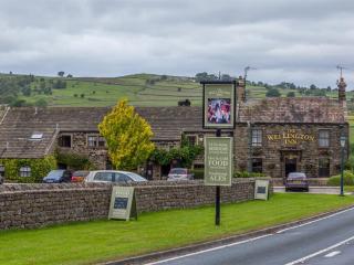
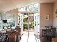
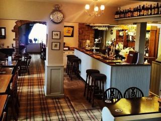
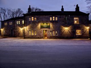
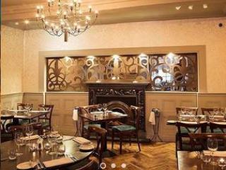
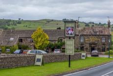
The Wellington Inn
The Wellington Inn is situated in the picturesque village of Darley in the heart of Nidderdale AONB. It’s within easy reach of Harrogate and Pateley Bridge as well as attractions such a...
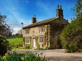
Fountains Cottage
Recently renovated, Fountains Cottage makes for a fantastic base to explore the magical Yorkshire Dales, with a wealth of walks from the doorstep. With two en-suite bedrooms, open-plan ...
Fountains Cottage
Recently renovated, Fountains Cottage makes for a fantastic base to explore the magical Yorkshire Dales, with a wealth of walks from the doorstep. With two en-suite bedrooms, open-plan ...
The Lodge
Awaiting description...
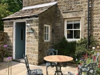
Kail House
Awaiting description...
Hartlington Holidays
Hartlington Hall Estate offers two holiday cottages located within the boundaries of the estate.
Each cottage sleeps up to 6, with 3 bedrooms Equipped to the highest standards we aim to...
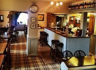
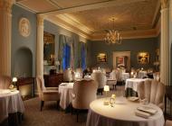
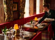
Places to eat nearby View all