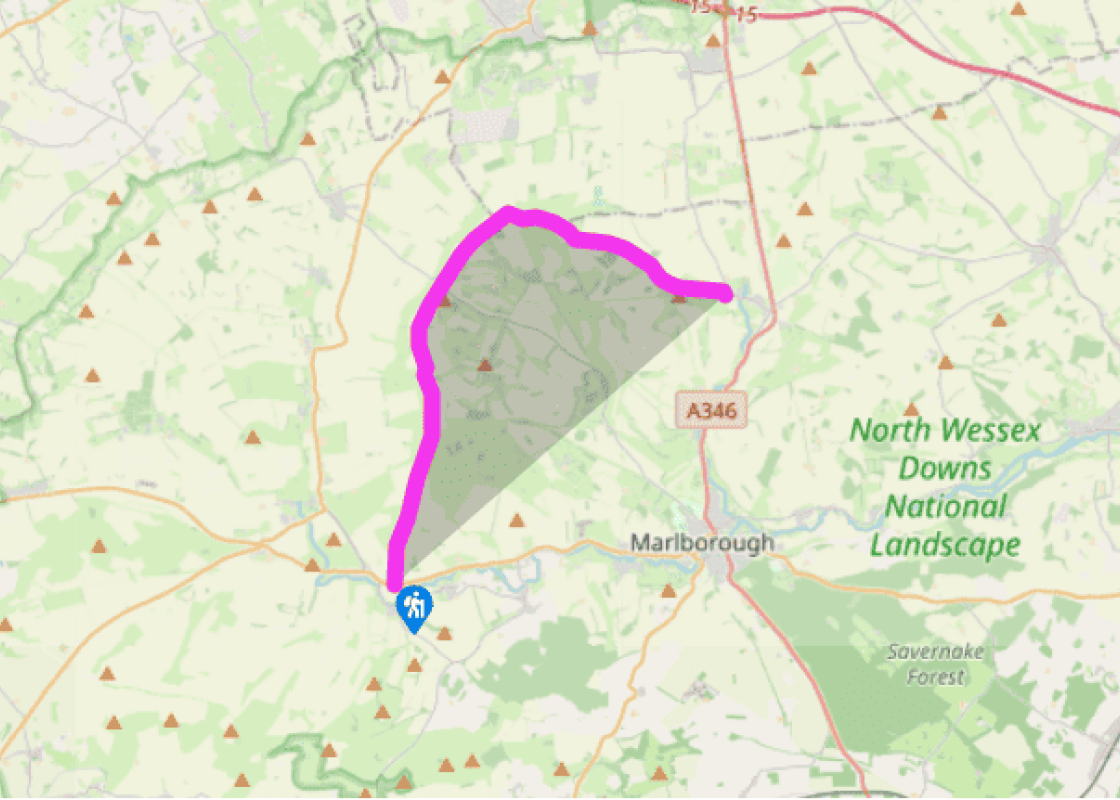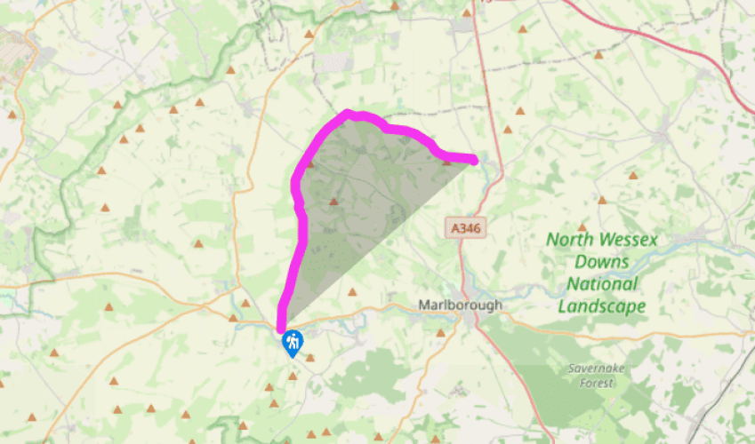
The Ridgeway: Overton Hill to Ogbourne St George
The start of The Ridgeway is distinctly low-key; an unpretentious track running north from the busy A4 on Overton Hill, marked with a signpost carrying the National Trail acorn symbol, the first of many to be seen along the route. In fact, for those wishing for a more romantic starting point, it is quite possible to start the walk within the great stone circle at Avebury and then join The Ridgeway some 2 miles (3.2km) further on by means of an equally ancient track known as Herepath or Green Street.
If, however, the official start point has been chosen, then before setting out for Ivinghoe Beacon (should you do all eight walks in this series) cross the A4 to inspect the site of the Sanctuary, a double stone circle dating from 2,000BC and destroyed in 1724, but which provides a good viewpoint for some of the Avebury monuments.
From the car park, The Ridgeway begins a steady ascent to the crest of the Downs, to meet with Green Street as it climbs up from Avebury.
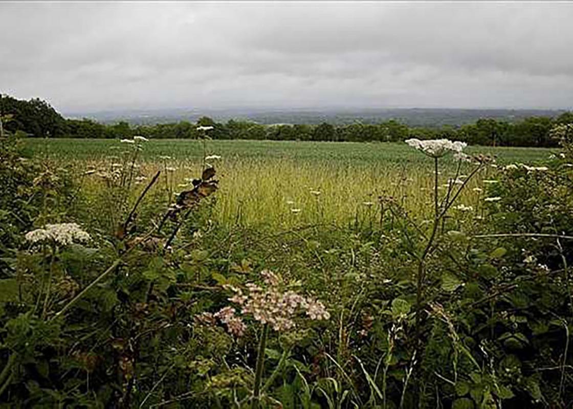
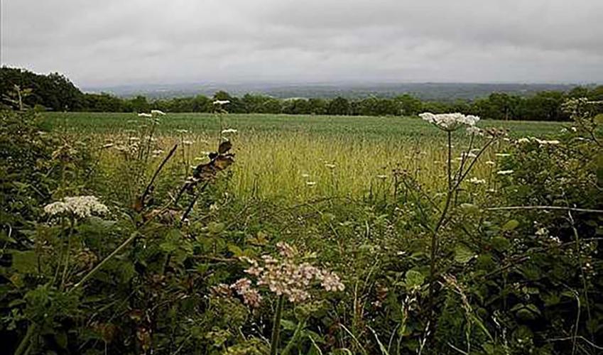
A right turn here will lead you to Fyfield Down, a remarkable remnant of ancient downland which has
been described as the ‘best preserved accessible large tract of ancient landscape in Wessex’. The Ridgeway itself continues northwards.

Been on this walk?
Send us photos or a comment about this route. Or recommend a route of your own.

Walking in Safety
Read our tips to look after yourself and the environment when following this walk.

Get an AA guide
Explore our range of ‘50 Walks in’ guides - they’re the ideal companion for a ramble.
Been on this walk?
Send us photos or a comment about this route. Or recommend a route of your own.
Walking in Safety
Read our tips to look after yourself and the environment when following this walk.
Get an AA guide
Explore our range of ‘50 Walks in’ guides - they’re the ideal companion for a ramble.
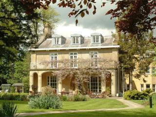
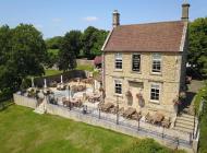
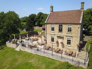
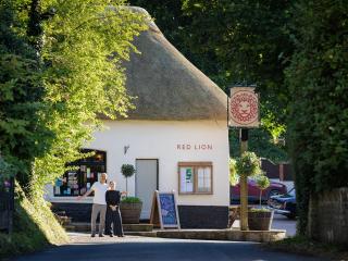
Nearby places to stay
View all (8)