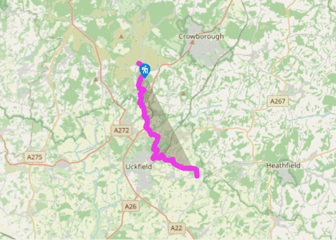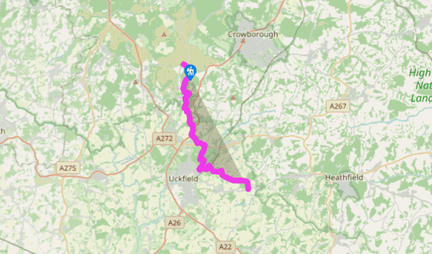
Wealdway: Camp Hill to Blackboys
From Camp Hill, pass to the right of the clump and to the left of a trig. point to reach the B2188 road. Follow the road, signposted to Crowborough, opposite. After a few yards of road, cross a stile on the right. The Wealdway bears right across open heathland to Crest Farm, where there is a sensational view southwards to the distant South Downs.
From here to Oldlands Corner, route-finding requires some care and concentration. Waymarks and wooden posts indicate the line of the Wealdway but may be hidden by bracken, particularly in late summer. After a short distance along a track, go left over two stiles, join another track for a few yards and then drop down across another heathy area.
Skirt to the left of a cottage at grid ref. TQ474280, and go ahead on a narrow path down through woodland to a stream crossing by Brown’s Brook Cottage. Follow the access drive from the cottage,
keeping a lookout for a path to the right which crosses another area of open forest for 0.5 miles (800m) or so, to reach the road opposite the entrance to Oldlands Hall.

Been on this walk?
Send us photos or a comment about this route. Or recommend a route of your own.

Walking in Safety
Read our tips to look after yourself and the environment when following this walk.

Get an AA guide
Explore our range of ‘50 Walks in’ guides - they’re the ideal companion for a ramble.
Been on this walk?
Send us photos or a comment about this route. Or recommend a route of your own.
Walking in Safety
Read our tips to look after yourself and the environment when following this walk.
Get an AA guide
Explore our range of ‘50 Walks in’ guides - they’re the ideal companion for a ramble.
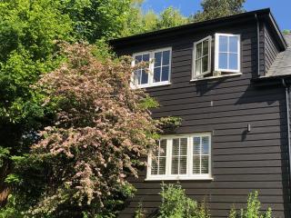
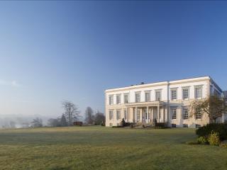
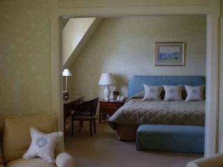
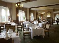
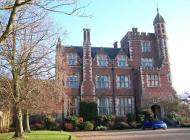
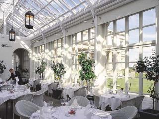
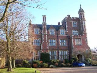
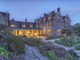
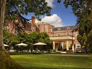
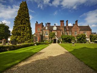
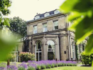
Nearby places to stay
View all (8)